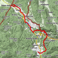
Via Dinarica HR-W-03 Nacionalni park Risnjak


- Rövid leírás
-
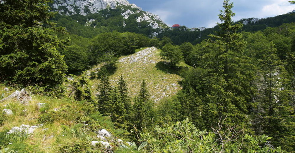
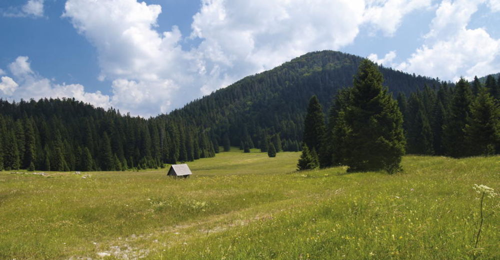
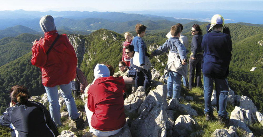
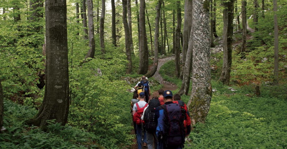
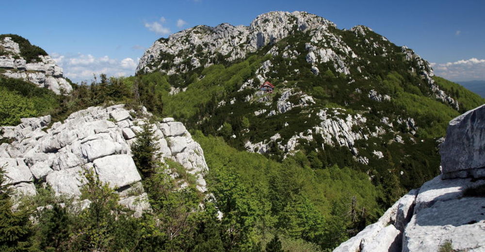
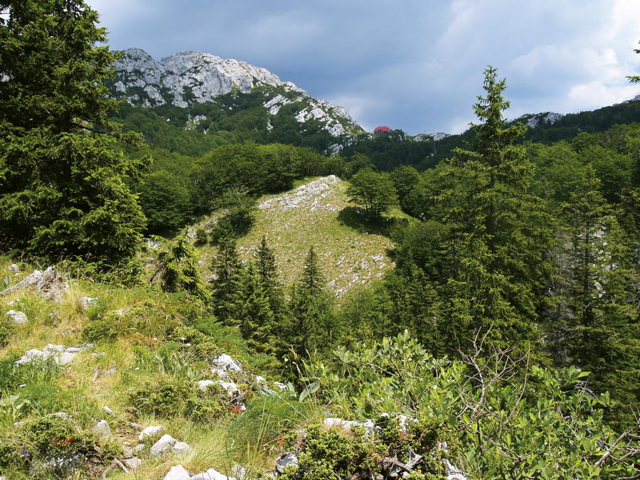
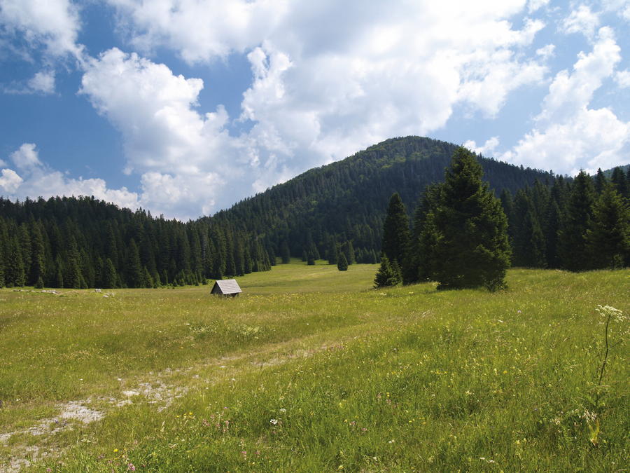
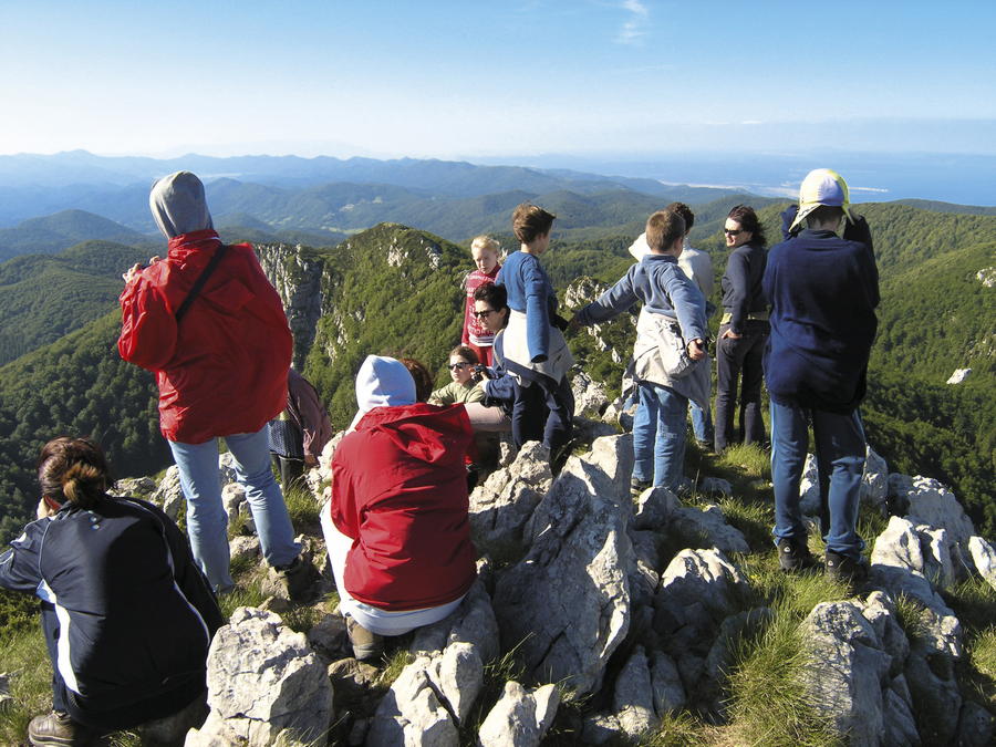
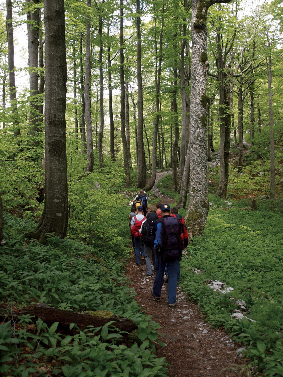
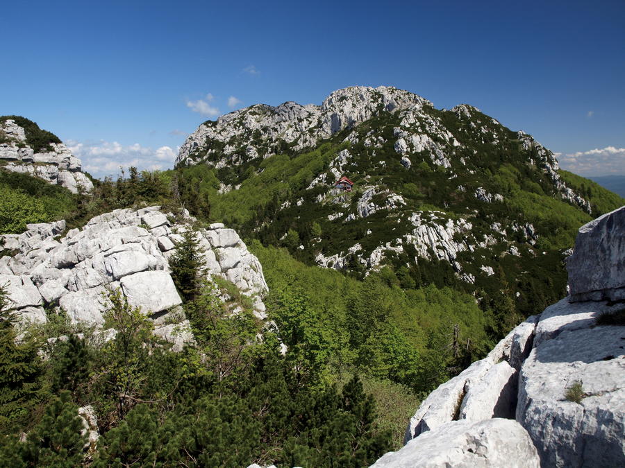
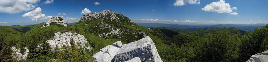
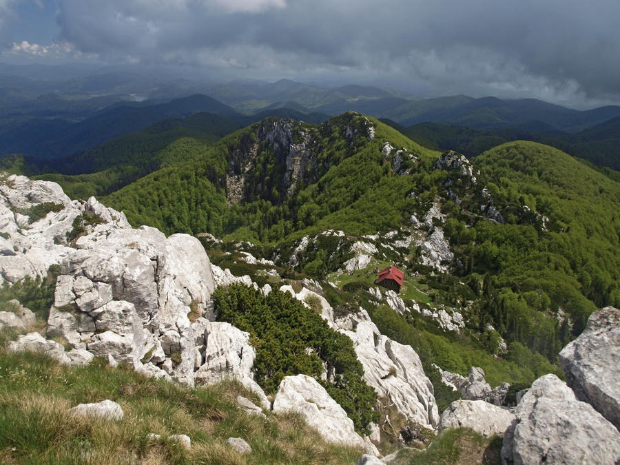
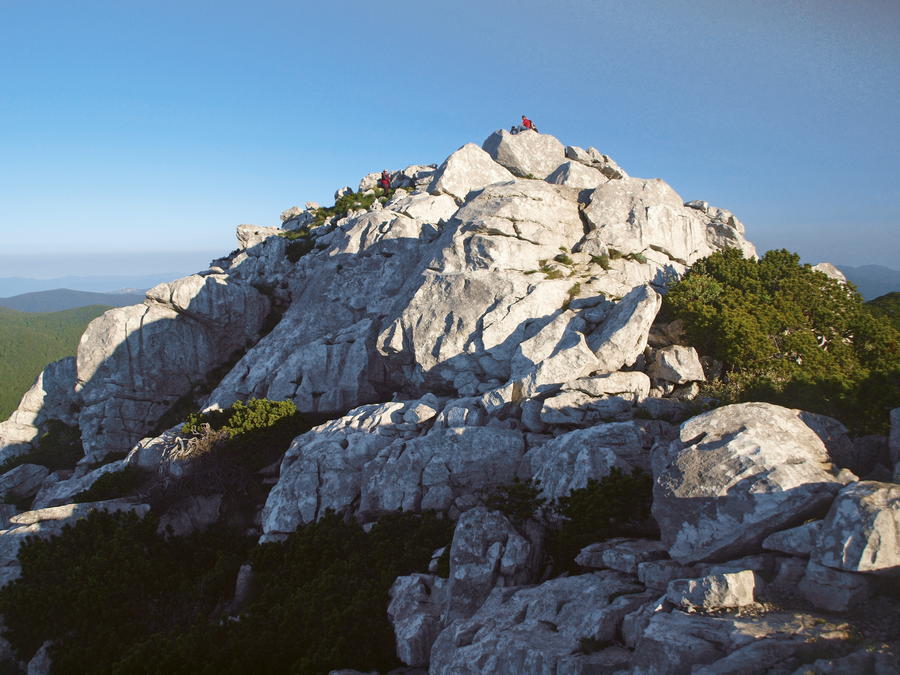
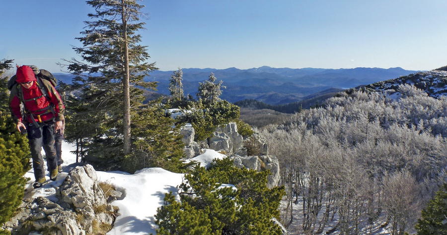
Risnjak has a dominant position at the western end of the region of Gorski kotar, rising from the plateau of Gorski kotar as the final high peak, just before that plateau suddenly starts descending towards the bay of Rijeka in the region of Hrvatsko primorje. The rocky peak area of Risnjak represents a karst phenomenon in itself, and the slopes of that peak area are covered in ancient wide forests, with numerous meadows in the lower sections. Due to its specific position and exposure to both marine and continental influences, the entire area of Risnjak is marked by rich and diverse flora and interesting animal world. Together with Snježnik on the western side and the source of the Kupa River on the eastern side, Risnjak is protected as a national park.
- Nehézség
-
közepes
- Értékelés
-
- Útvonal
-
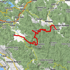
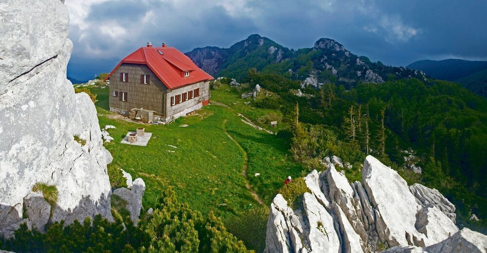
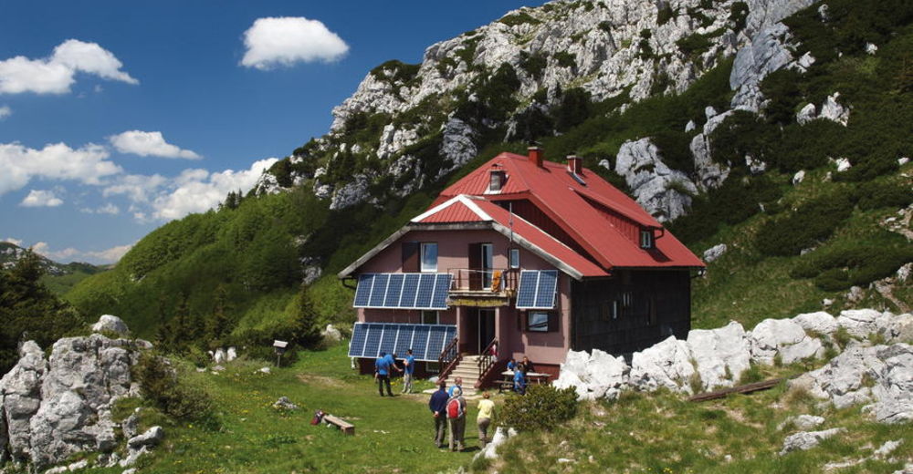
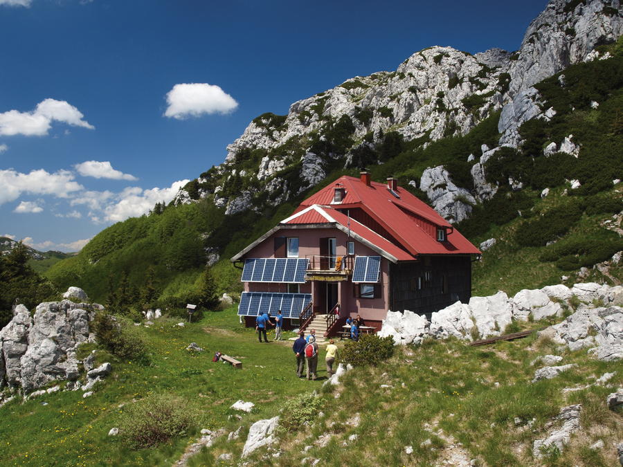
Izvor Kupe (321 m)Razloge1,4 kmRazloški Okrug5,5 kmPlajzi7,7 kmGornji Okrug7,9 kmBiljevina8,2 kmMalo Selo11,7 kmBosconero di Fiume13,1 kmcrkva svetog Petra i Pavla13,3 kmBela Vodica14,5 kmPodi18,1 kmKrški izvor19,6 kmSchlosserov dom22,7 kmVeliki Risnjak (1.528 m)23,0 km
- Legjobb szezon
-
janfebrmárcáprmájjúnjúlaugszeptoktnovdec
- Legmagasabb pont
- 1.489 m
- Úti cél
-
Gornje Jelenje
- Magassági profil
-
 © outdooractive.com


-

-
SzerzőA túra Via Dinarica HR-W-03 Nacionalni park Risnjak a outdooractive.com feltéve, hogy.


-
Gorski kotar
28
-
Lokve
8