© Alpenregion Bludenz Tourismus GmbH - Melanie Fleisch

© Alpenregion Bludenz Tourismus GmbH - Melanie Fleisch

© Alpenregion Bludenz Tourismus GmbH - Melanie Fleisch

© Alpenregion Bludenz Tourismus GmbH - Melanie Fleisch

© Alpenregion Bludenz Tourismus GmbH - Melanie Fleisch

© Alpenregion Bludenz Tourismus GmbH - Melanie Fleisch

© Alpenregion Bludenz Tourismus GmbH - Melanie Fleisch

© Alpenregion Bludenz Tourismus GmbH - Melanie Fleisch

© Vorarlberg Tourismus GmbH
- Rövid leírás
-
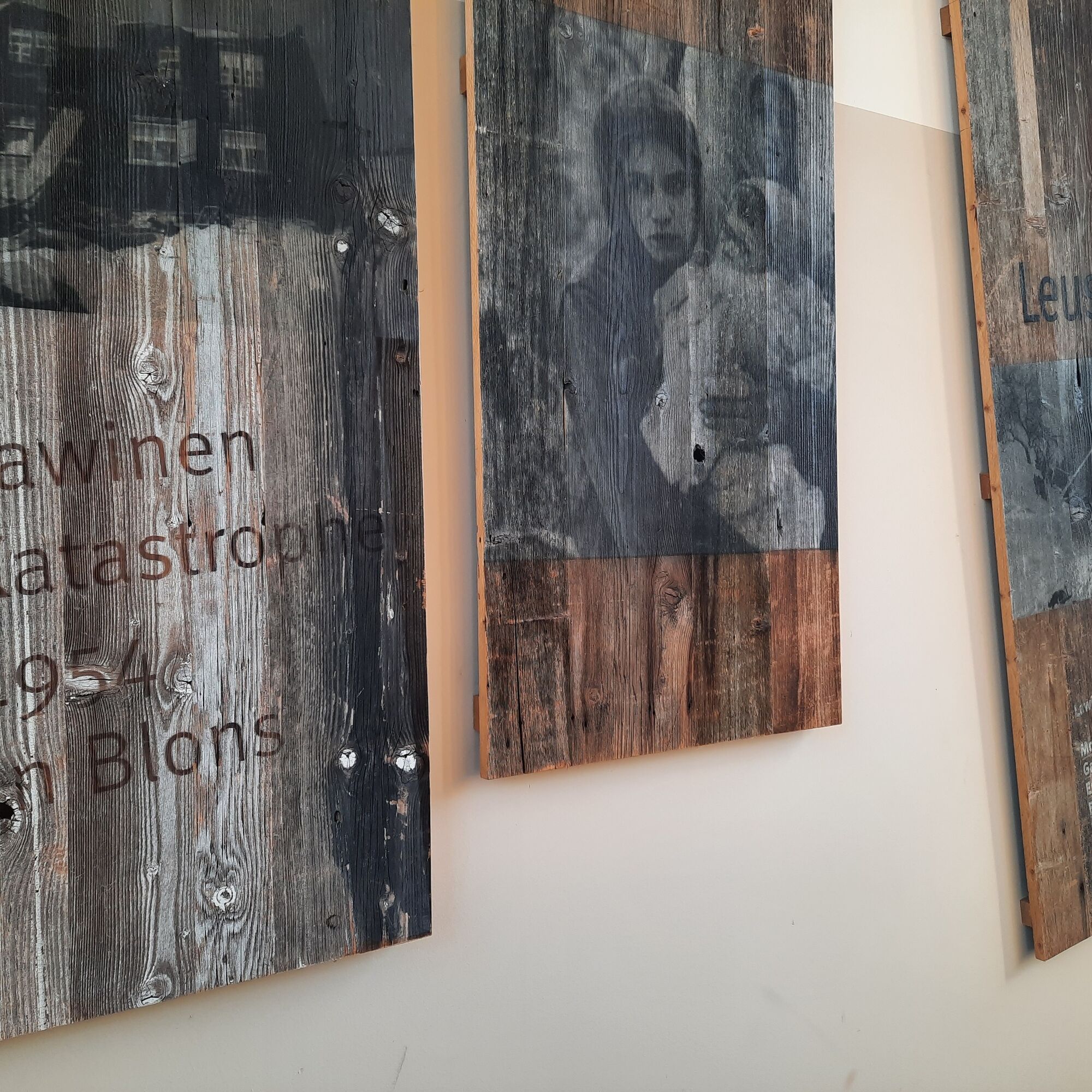
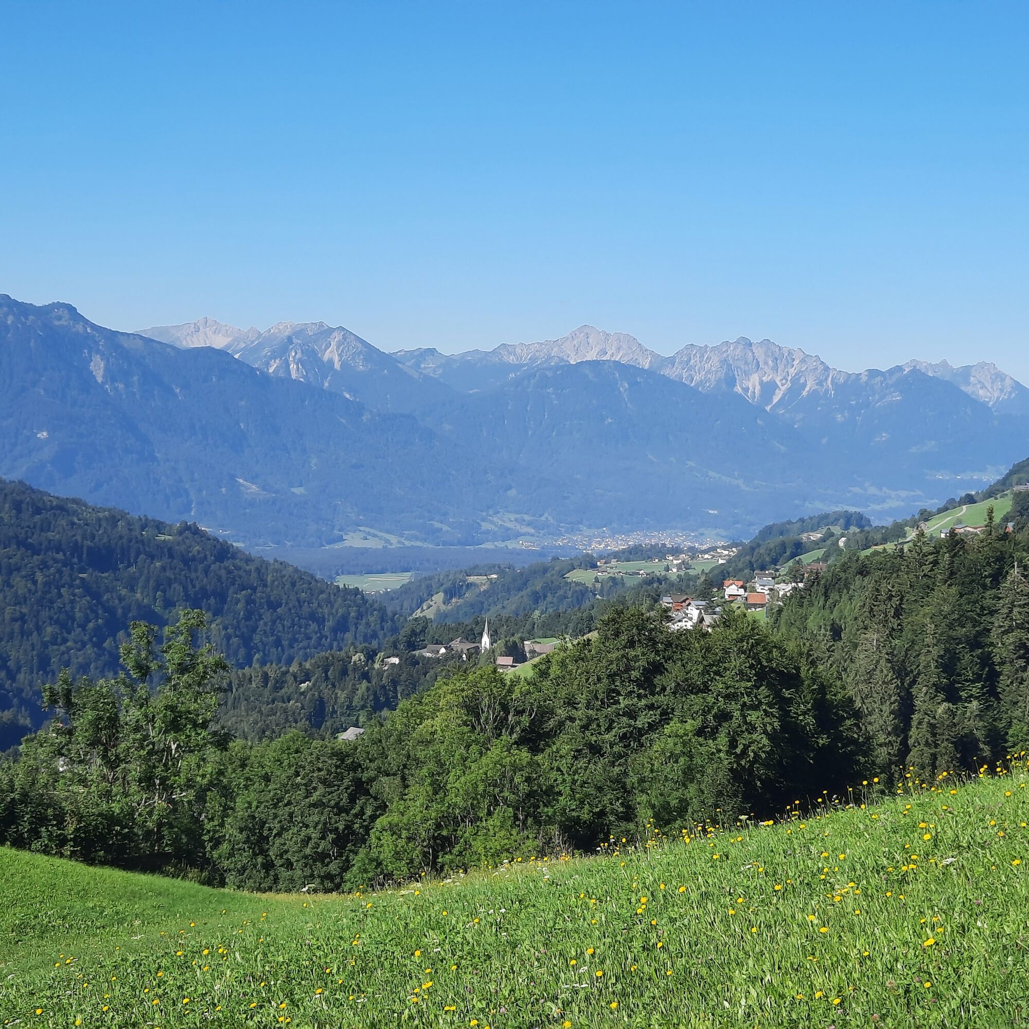
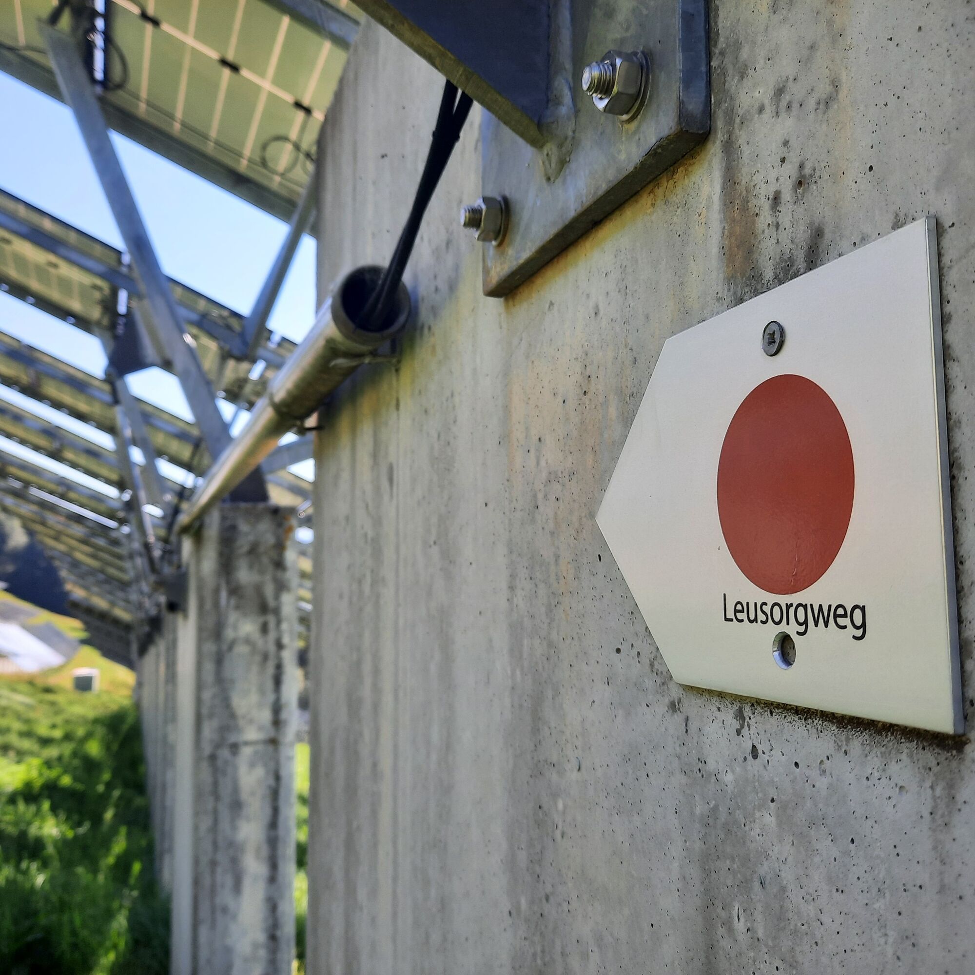
The Leusorgweg, two other avalanche paths (Schutzwald- & Verbauungsweg) and an avalanche documentation center with video and image material today commemorate the avalanche disaster of 1954.
- Nehézség
-
közepes
- Értékelés
-
- Útvonal
-
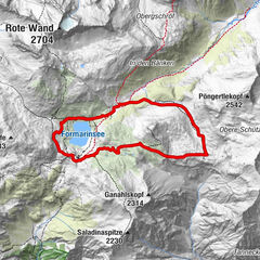
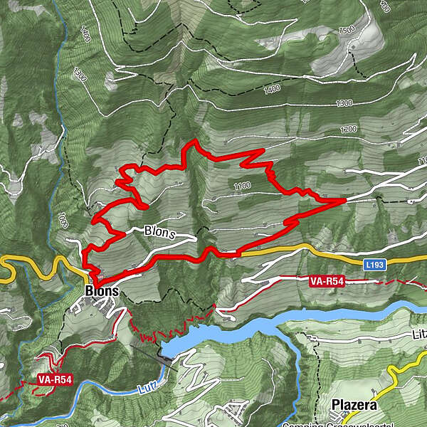
FalvaPfarrkirche St. Mariä EmpfängnisAdler5,6 kmFalva5,7 kmPfarrkirche St. Mariä Empfängnis5,7 kmBlons5,8 km
- Legjobb szezon
-
janfebrmárcáprmájjúnjúlaugszeptoktnovdec
- Legmagasabb pont
- 1.179 m
- Úti cél
-
Community Center, Blons
- Magassági profil
-

- Szerző
-
A túra Leusorgweg | Blons a outdooractive.com feltéve, hogy.
GPS Downloads


Általános információ
Kulturális/Történelmi
Ígéretes
További túrák a régiókban
-
St. Gallen - Bodensee
2066
-
Biosphärenpark Großes Walsertal
2010
-
Blons
462