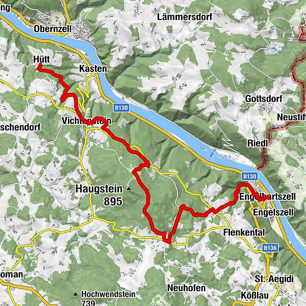
Donausteig Stage 1_S02 Kasten - Engelhartszell: „Summit aussualt onto the roof of the Donausteig!“


- Rövid leírás
-
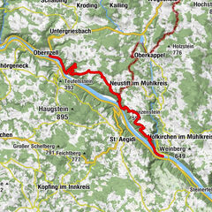
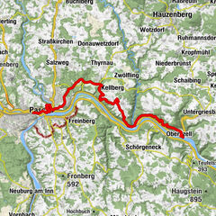
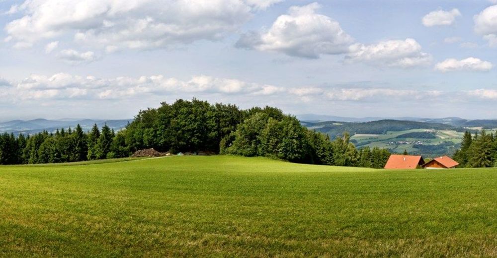
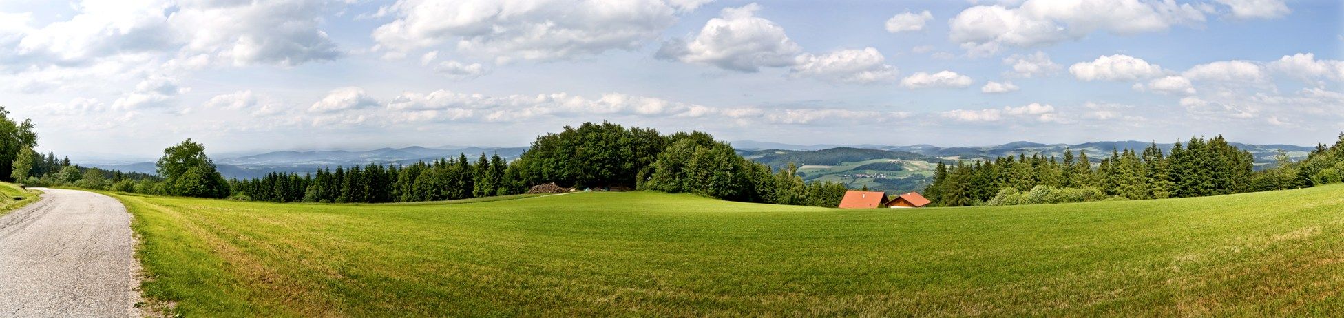
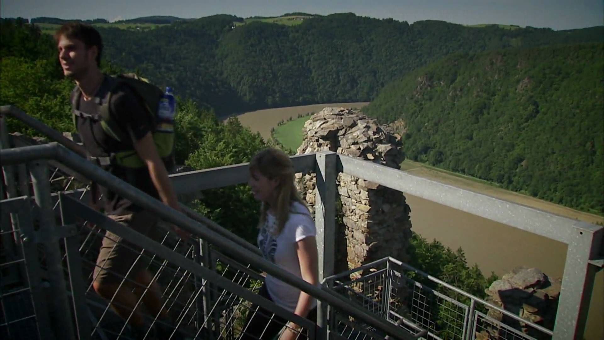
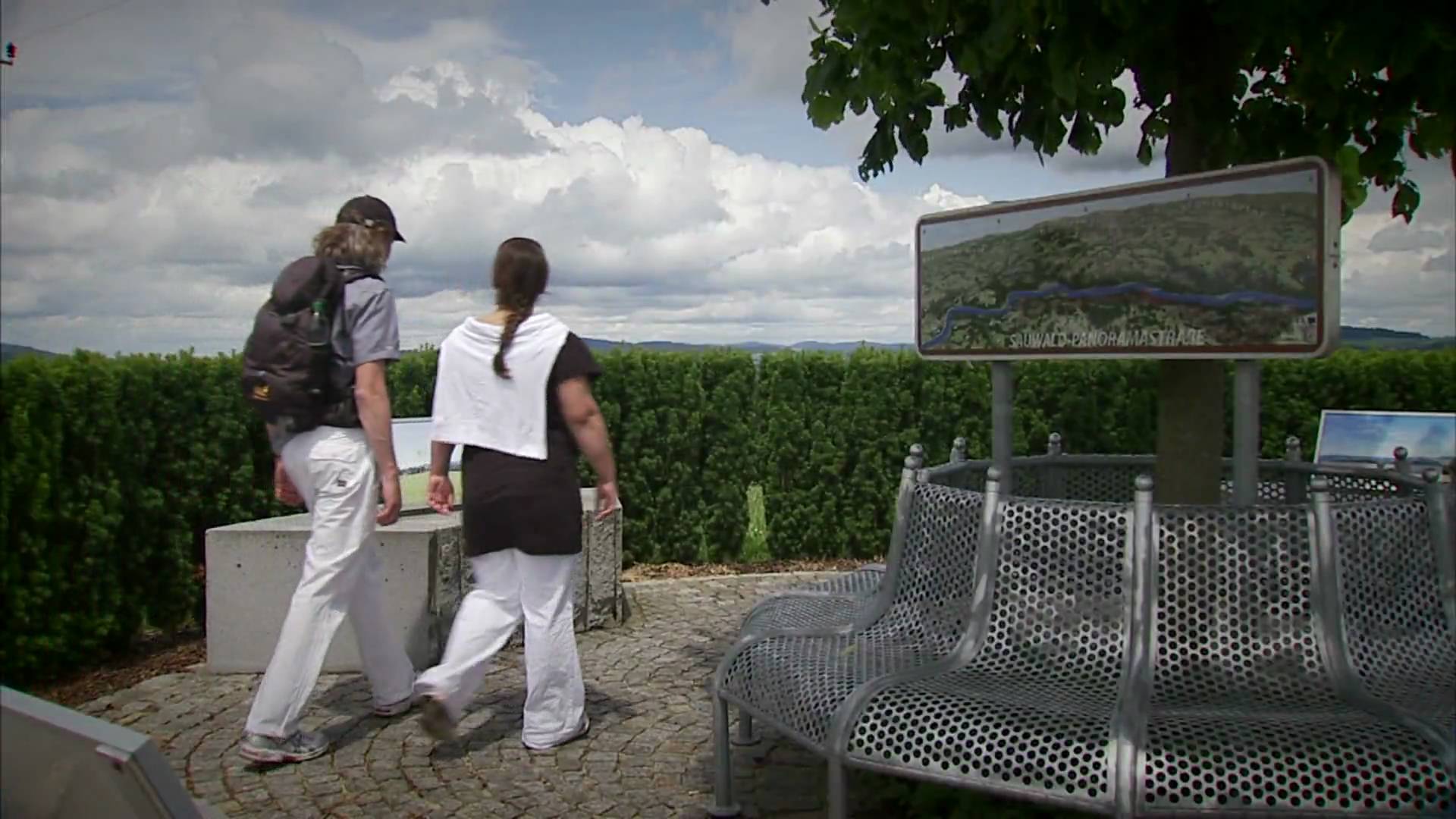
The Donausteig - simply fabulous! Summit assaut onto the Haugstein - the highest peak of the Donausteig. On this forest rich stage, we walk in the Durchbruchstal (valley) of the upper Danube from Kasten along the Danube over the mystical forest Summit of the Haugsteins to Engelhartszell on the danube. We discover the hidden past of Kasten, the world of the Danube river rafting, the feud Knights of Vichtenstein, the highest situated village of the Innviertel region, the historical Engelhartszell...
- Nehézség
-
nehéz
- Értékelés
-
- Útvonal
-
Hütt (469 m)Landgasthaus Koller3,2 kmPanoramablick Vichtenstein3,2 kmVichtenstein3,4 kmUnterweinbrunn6,6 kmOberweinbrunn7,5 kmJagabild Kapelle8,4 kmStadl10,2 kmEngelhartszell16,0 kmPfarrkirche Maria Himmelfahrt16,0 kmEngelszell16,0 km
- Legjobb szezon
-
janfebrmárcáprmájjúnjúlaugszeptoktnovdec
- Legmagasabb pont
- 837 m
- Úti cél
-
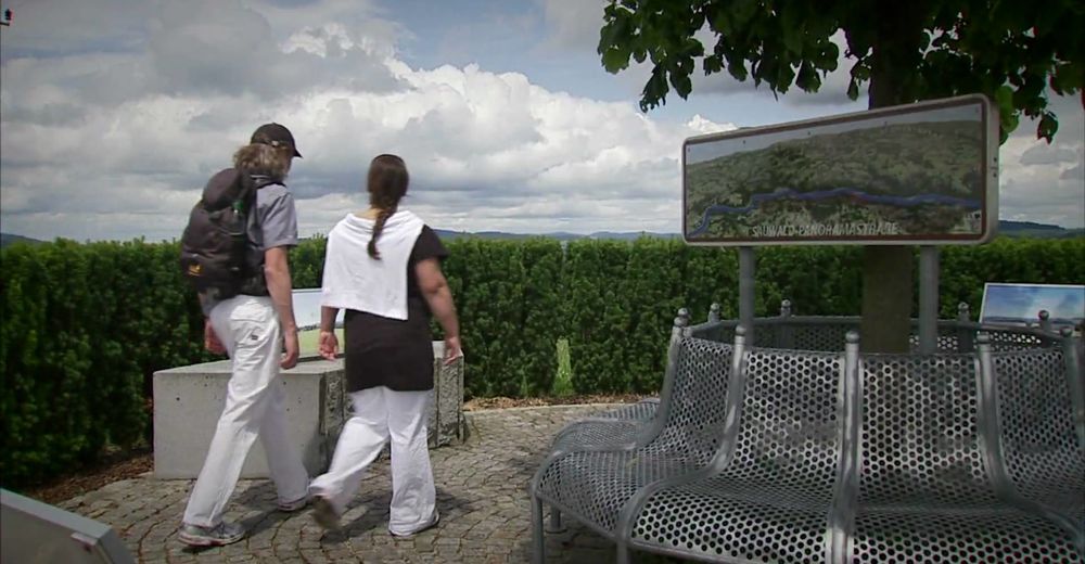
Engelhartszell - The Donaustieg-Starting point "Engelhartszell" is located to the right of the exhibition building „Donaugeschichten“ of the Engelhartszell Danube-world at the playground (on the Sauwaldstraße (street) prox. 30 m southeast of the municipal office of Engelhartszell)
- Magassági profil
-


- Szerző


Általános információ
-
Innviertel
797
-
Ferienregion Böhmerwald
479
-
Vichtenstein
113