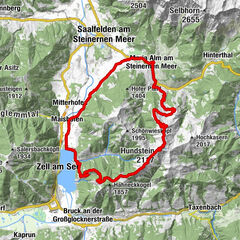
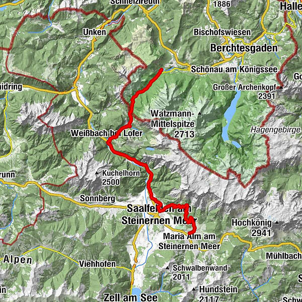
Watzmann-Hochkönig South-Loop: Stage 4: Hintersee - Maria Alm

Mountainbike
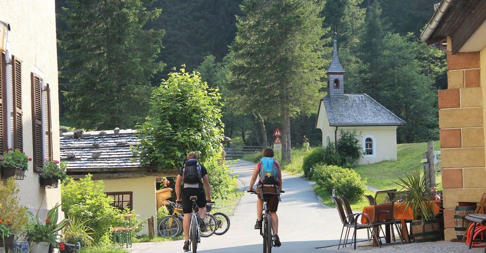
© ARGE Rad - SalzburgerLand, Chiemgau, Berchtesgadener Land - © SalzburgLand-Schrofner
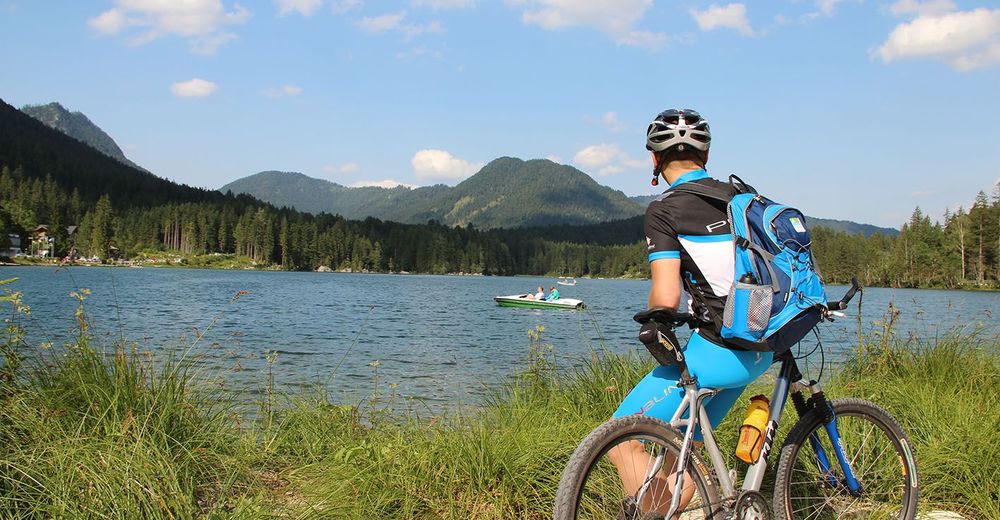
© ARGE Rad - SalzburgerLand, Chiemgau, Berchtesgadener Land - © SalzburgerLand-Schrofner

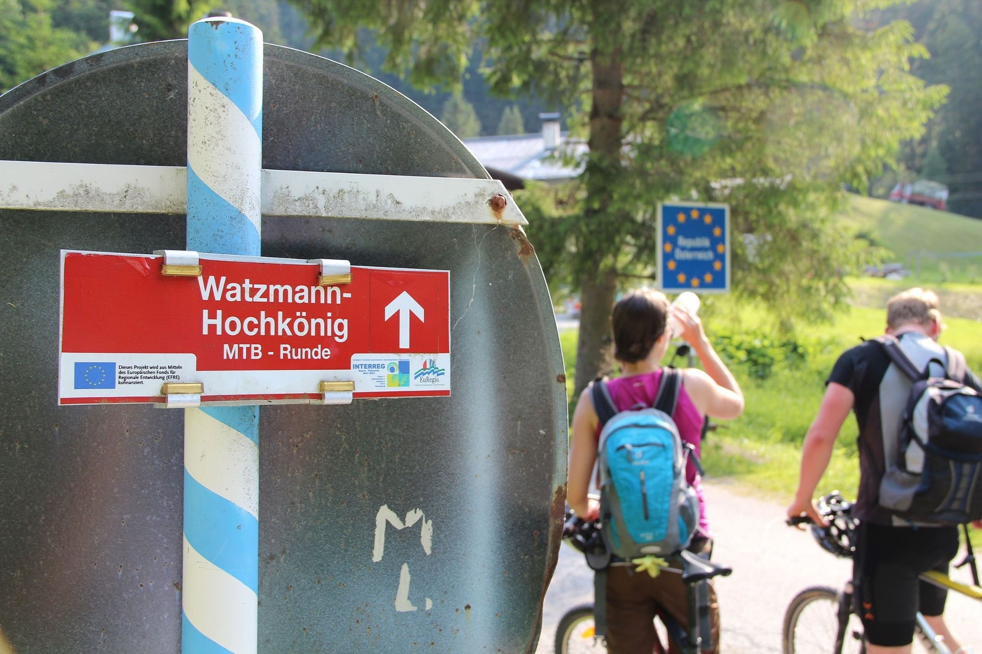
© ARGE Rad - SalzburgerLand, Chiemgau, Berchtesgadener Land - ©SalzburgerLand-Schrofner

© ARGE Rad - SalzburgerLand, Chiemgau, Berchtesgadener Land - ©TVB Maria Alm
Túra-adatok
41,68km
662
- 1.287m
1.068hm
1.041hm
05:52h
- Rövid leírás
-
The shortest stage of the South loop has its challenges with the steep ascent to the Hirschbichl and the bike route between Saalfelden and Maria Alm. Steep – up to 30% - is descent from Hirschbichl to Weissbach, while the route along the Tauern Bike Tour to Saalfelden is relaxing.
- Nehézség
-
közepes
- Értékelés
-
- Útvonal
-
Seeklause0,0 kmAuzinger1,0 kmHängebrücken4,5 kmHirschbichlstraße5,6 kmBindalm7,5 kmBergheim Hirschbichl8,0 kmAlpengasthof Hirschbichl8,0 kmHirschbichl8,0 kmMooswachtkapelle8,1 kmHirschbichl-Pass (1.183 m)8,3 kmPoint8,5 kmReubel8,8 kmStockklaus11,6 kmGasthof Lohfeyer12,1 kmSeisenbergklamm13,7 kmOberweißbach14,7 kmWeißbach bei Lofer14,8 kmFrohnwies15,3 kmKlettergarten "Platte Unterm Dach" (683 m)17,2 kmKlettergarten "Ami" (685 m)17,5 kmKlettergarten "Bundesheer" (688 m)18,1 kmHochseilgarten (707 m)22,5 kmHohlwegen22,7 kmMarzon25,8 kmBachwinkl27,8 kmPabing28,7 kmSaalfelden am Steinernen Meer (748 m)29,4 kmObsmarkt29,6 kmRiemannshöhe33,4 kmHochreitshöhe37,1 kmKronreithhof38,2 kmGriesbachwinkl40,1 kmMaria Alm am Steinernen Meer41,6 km
- Legjobb szezon
-
janfebrmárcáprmájjúnjúlaugszeptoktnovdec
- Legmagasabb pont
- 1.287 m
- Úti cél
-
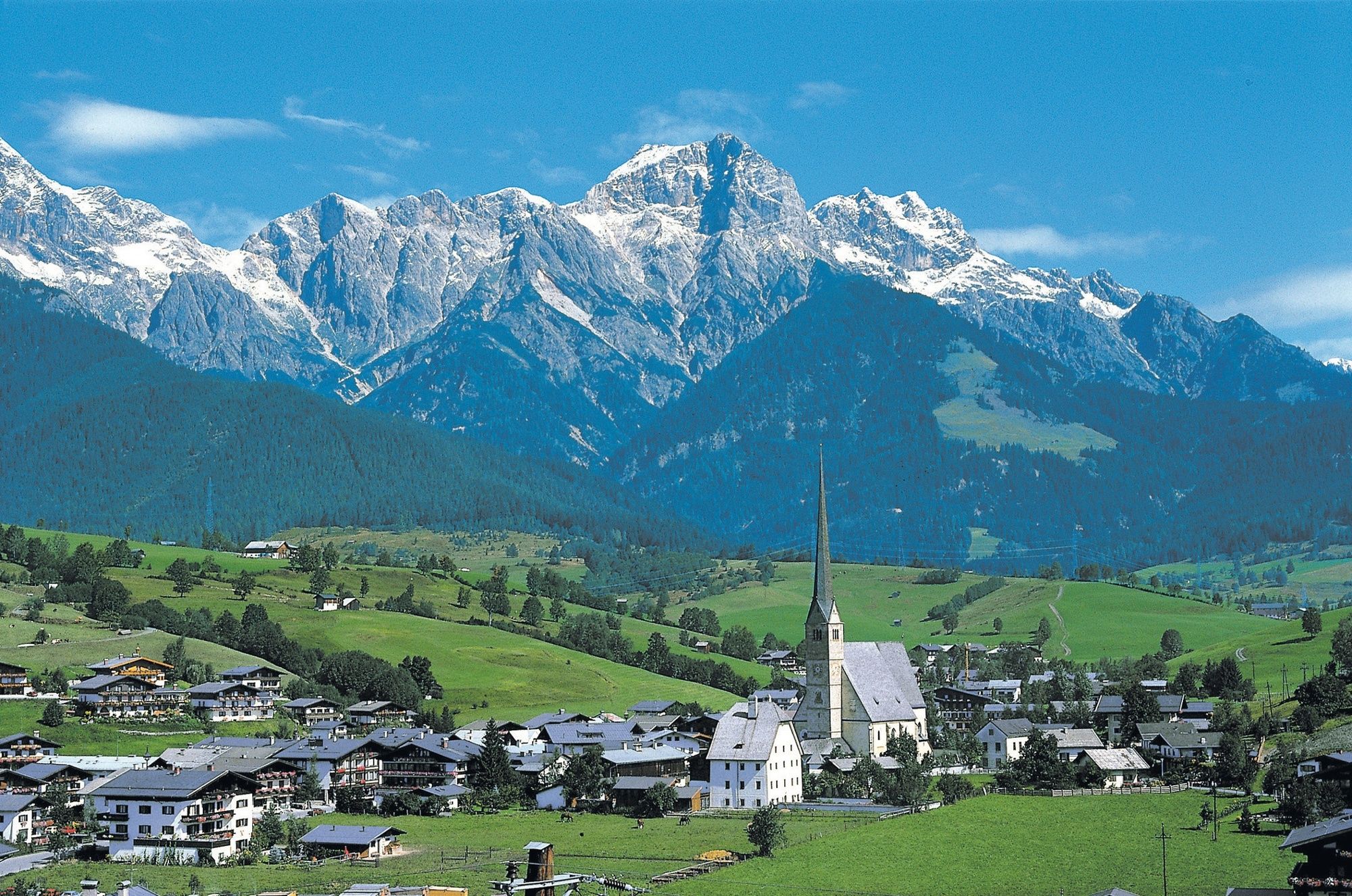
Maria Alm
- Magassági profil
-
 © outdooractive.com


- Szerző
-
A túra Watzmann-Hochkönig South-Loop: Stage 4: Hintersee - Maria Alm a outdooractive.com feltéve, hogy.
GPS Downloads


Általános információ
Frissítő megálló
Flora
További túrák a régiókban
-
Saalfelden - Leogang
384
-
Saalfelden
97