Camino de Santiago from Missen via Lindenberg to Lindau, respectively Nonnenhorn (variant)

Zarándokút

© Gemeinde Nonnenhorn - Landkreis Lindau (Bodensee)
© Thomas Gretler - Landkreis Lindau (Bodensee)
© Thomas Gretler - Landkreis Lindau (Bodensee)
© Thomas Gretler - Landkreis Lindau (Bodensee)
© Thomas Gretler - Landkreis Lindau (Bodensee)
© David Knipping - Landkreis Lindau (Bodensee)
© Tourist-Information Wasserburg - Landkreis Lindau (Bodensee)
")
- Rövid leírás
-
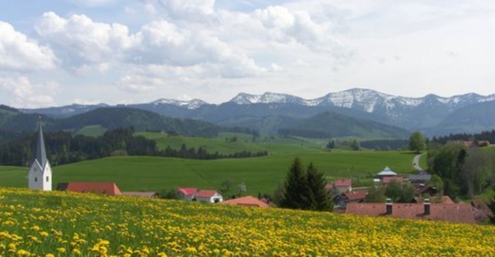
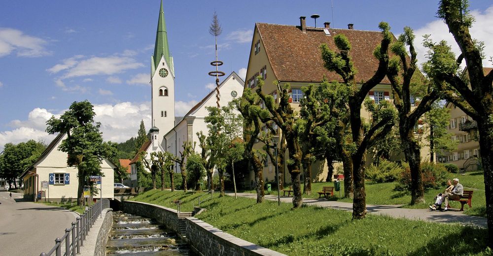
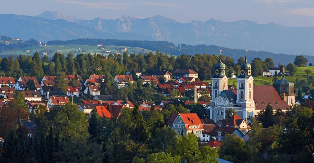
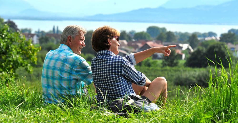
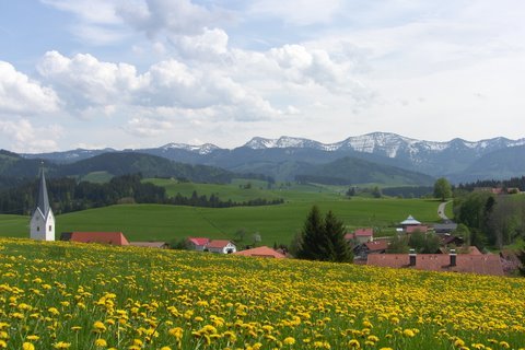
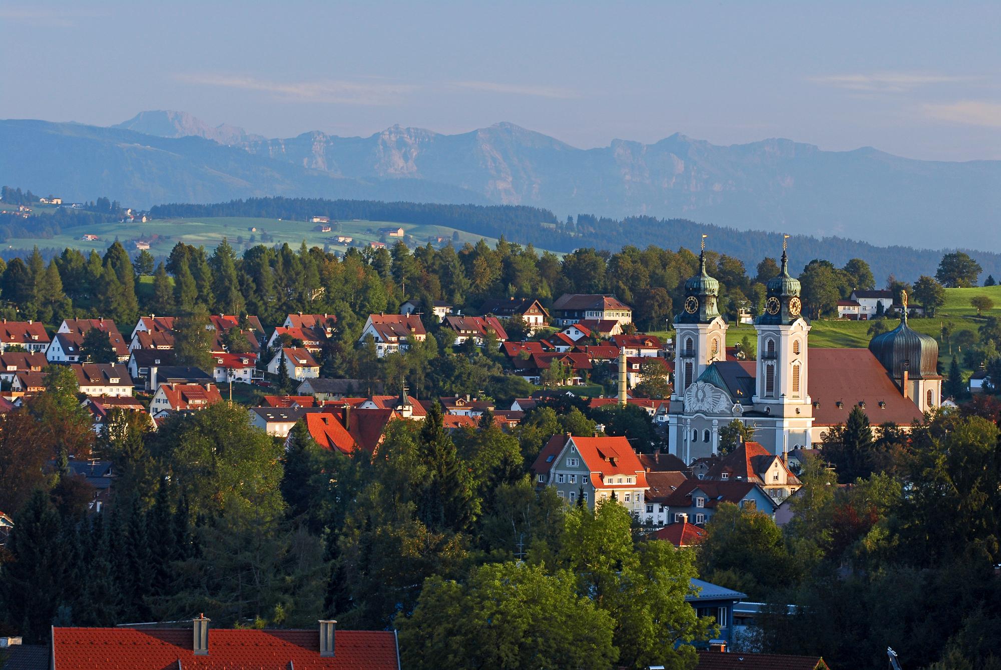
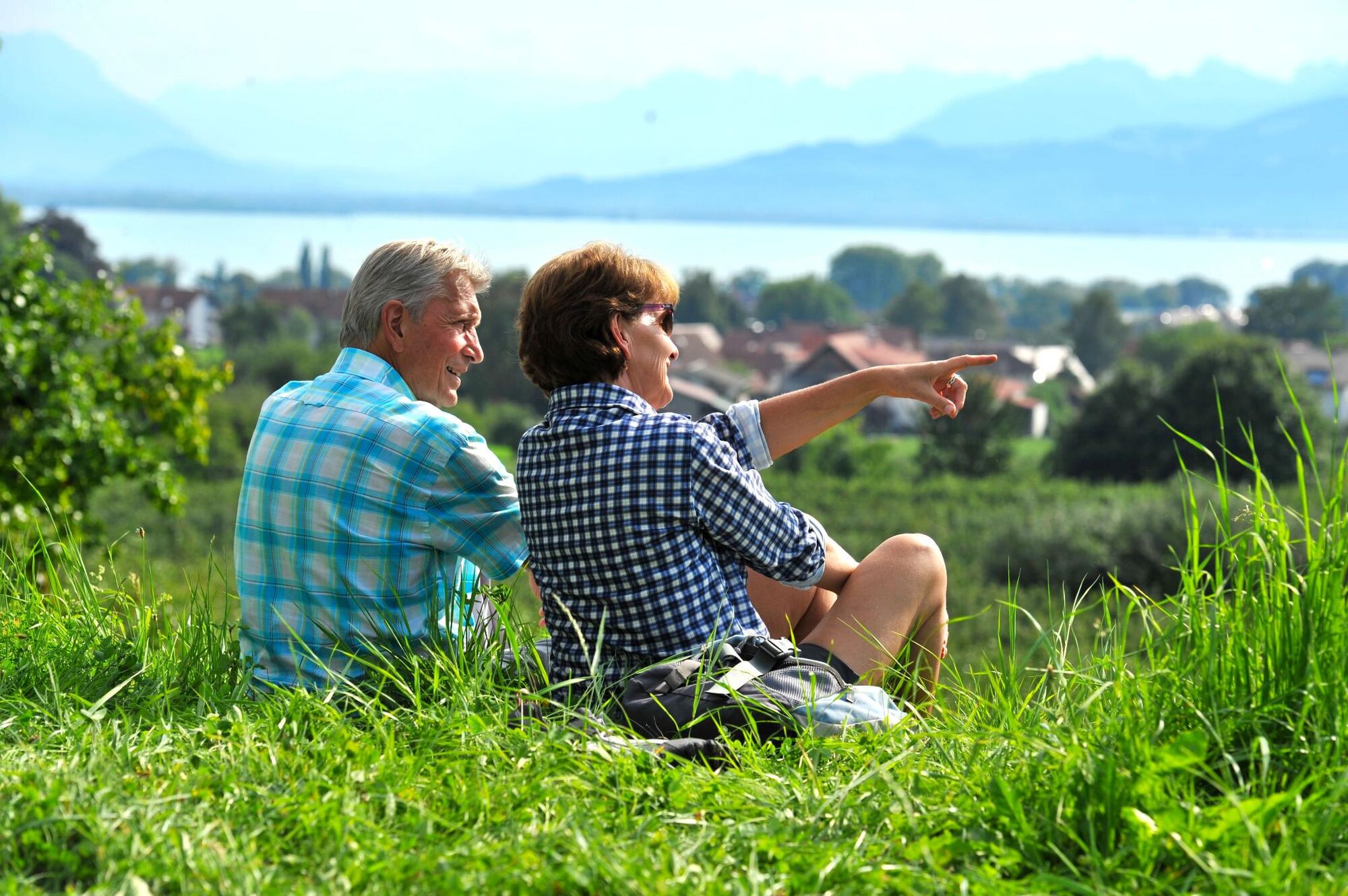
A pilgrimage walk between the Allgaeu and the Lake Constance
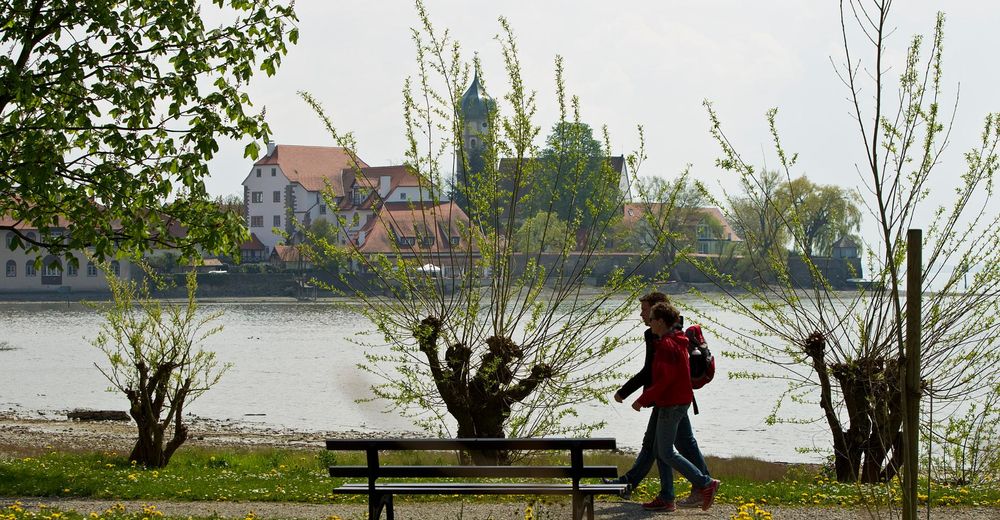
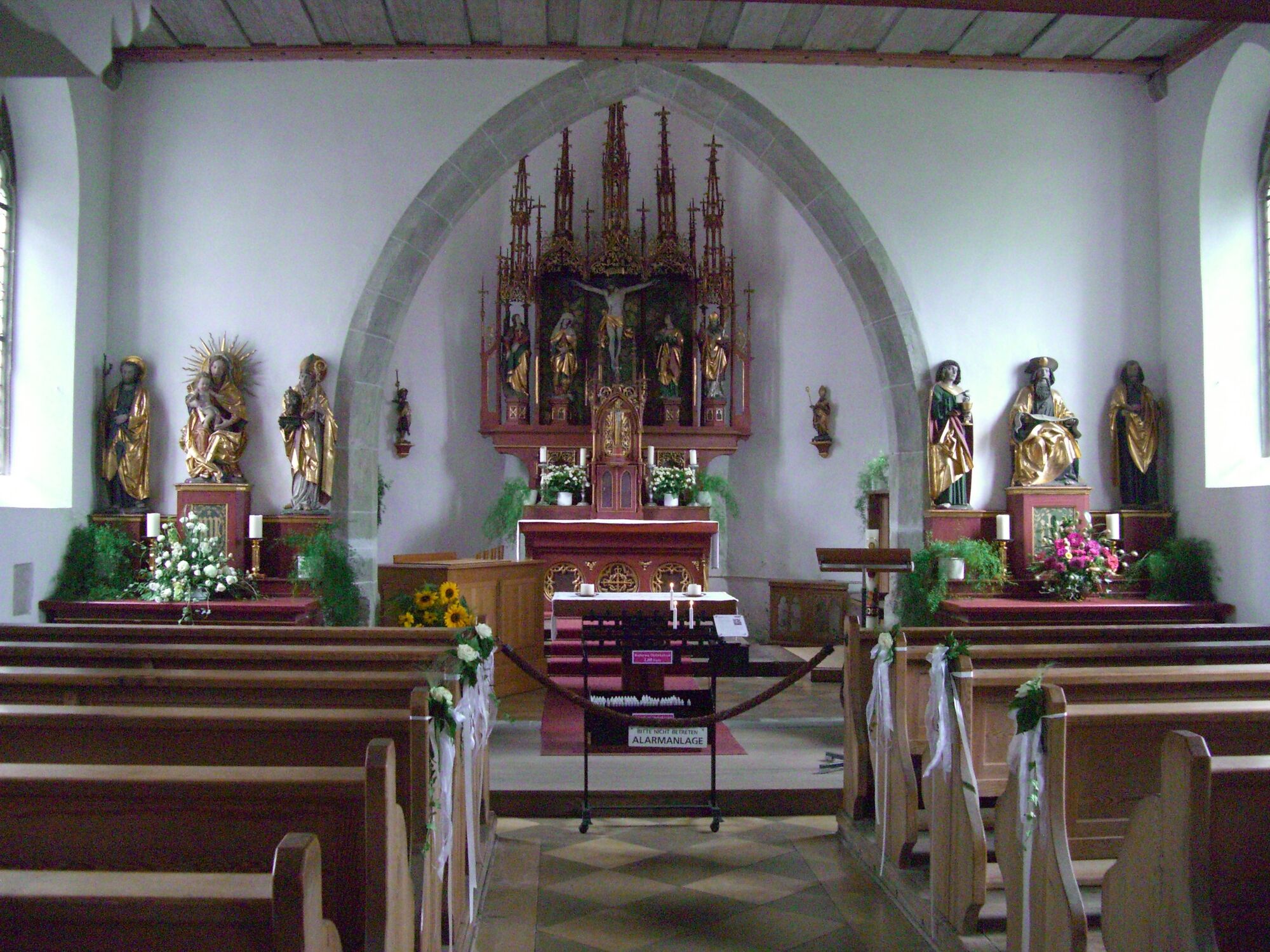
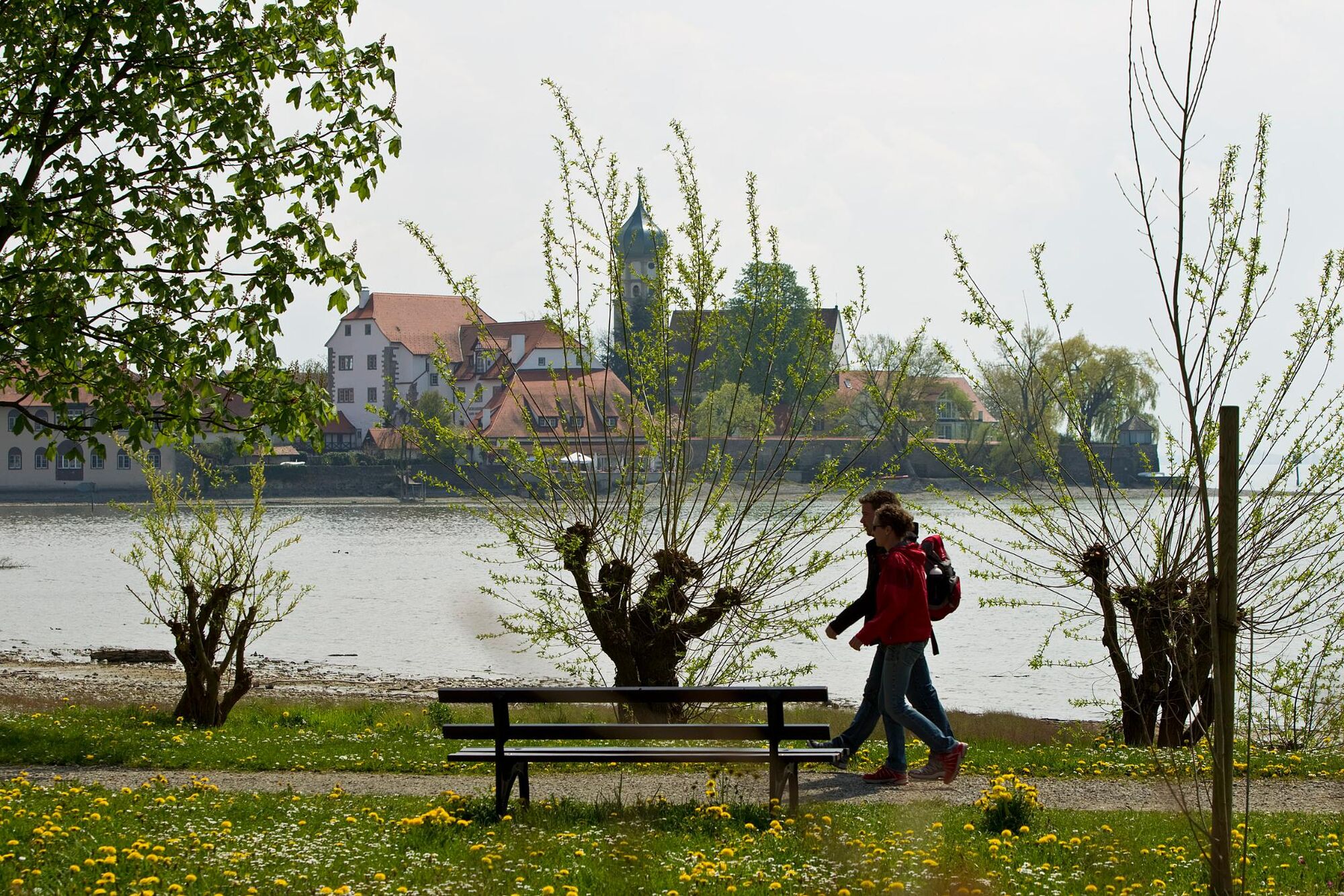
The Camino de Santiago leading through the district of Lindau is part of Camino de Santiago of Munich respectively Augsburg. You will be accompanied by neat chapels, rich green meadows in the pre-alpine landscape of the Western Allgaeu, blooming fruit and wine growing areas at Lake Constance with marvellous views:The Camino de Santiago between the Western Allgaeu and the Lake Constance invites you to come to peace, to reflect and to pray. - Nehézség
-
nehéz
- Értékelés
-
- Útvonal
-
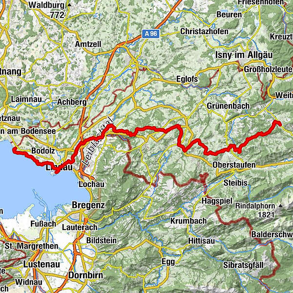
Aigis1,4 kmGeratsried4,1 kmHl. Maria4,2 kmAlpe Rote Heide6,0 kmTrabers6,7 kmMutten8,3 kmZell10,6 kmSt. Bartholomäus10,6 kmWolfsried12,3 kmGenhofen13,4 kmAich14,0 kmHopfen16,1 kmBurkatshofen17,9 kmNagelshub19,1 kmFiedhofskapelle20,4 kmOberleute20,6 kmKrone20,7 kmSimmerberg20,7 kmSt. Anton21,5 kmRieder21,6 kmHasenried22,5 kmLourdeskapelle23,7 kmWeiler im Allgäu24,0 kmObere Weberei24,8 kmManzen27,3 kmAlpengasthof Bavaria27,4 kmAureliuskirche29,5 kmLindenberg im Allgäu (764 m)29,7 kmSt. Peter und Paul30,0 kmAllmannsried33,3 kmRappenfluh33,7 kmFeriendorf Saarland34,6 kmLötz35,1 kmSt. Wendelinskapelle35,5 kmKinberg35,8 kmHaggen36,8 kmAdelberg37,4 kmGeislehen38,7 kmSt. Peter und Paul39,0 kmNiederstaufen39,1 kmKnochenmühle40,3 kmDornach43,4 kmSt. Gallus43,9 kmSigmarszell44,0 kmBiesings44,4 kmSchlachters45,5 kmMarienkapelle47,4 kmWeißensberg47,5 kmOberhof47,7 kmStreitelsfingen49,4 kmMotzach49,5 kmWannental50,3 kmOberreutin51,1 kmLindau (Bodensee) (401 m)53,1 kmSt. Stephan53,7 kmInsel53,7 kmBad Schachen56,6 kmReutenen58,5 kmWilhelmshöhe58,6 kmJakobus-Kapelle58,7 kmWasserburg - Bodensee59,9 kmNonnenhorn62,5 km
- Legjobb szezon
-
janfebrmárcáprmájjúnjúlaugszeptoktnovdec
- Legmagasabb pont
- 942 m
- Úti cél
-
Lindau, respectively Nonnenhorn
- Magassági profil
-
 © outdooractive.com

- Szerző
GPS Downloads


Általános információ
Frissítő megálló
Kulturális/Történelmi
Ígéretes
További túrák a régiókban
-
Bodensee - Deutschland
1103
-
Westallgäu
1262
-
Scheidegg
380

