In the Leiblach valley: tracing old mills starting at the well of the Leiblach - Westallgäu water way 24


")
- Rövid leírás
-
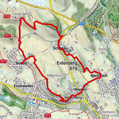
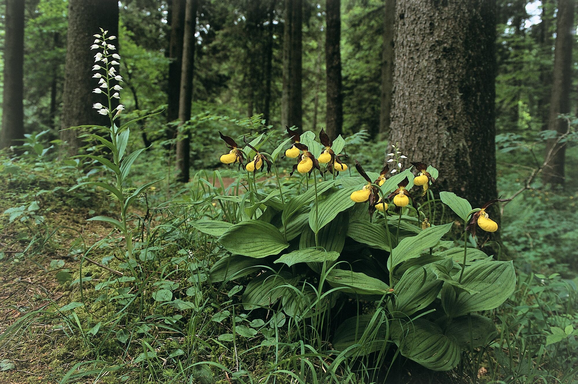
The varied tour on the mill way around Heimenkirch doesn't just lead to the Leiblach's well but is also a little trip to the village's history. As many as eight mills and saw mills and hammer mills stood along the Leiblach. They once were essential for the people, because that was where they could get the grain milled for their daily requirement. Because wheat and spelt and oat and barley and rye couoldn't be supplied by the farmers all year long, many millers earned a bit on the side by sawing and pounding bones at their mills. Today, the former mills have been mostly converted into residential buildings. However, information panels along the mill way make their history come alive again.
- Útvonal
-
Riedhirsch1,1 kmHeimenkirch5,2 kmMeckatzer Bräustüble7,1 kmMeckatz7,1 kmKappen7,8 kmBiesenberg8,3 kmZwiesele9,8 kmOberhäuser12,7 kmHl. Familie12,7 kmBerg13,5 kmHeimenkirch14,0 km
- Legmagasabb pont
- 708 m
- Úti cél
-
Ending point: parking for hikers at the underpass between the villages Riedhirsch and Heimenkirch.
- Magassági profil
-
 © outdooractive.com

- Szerző


Általános információ
-
Allgäu
2362
-
Westallgäu
1263
-
Heimenkirch
426