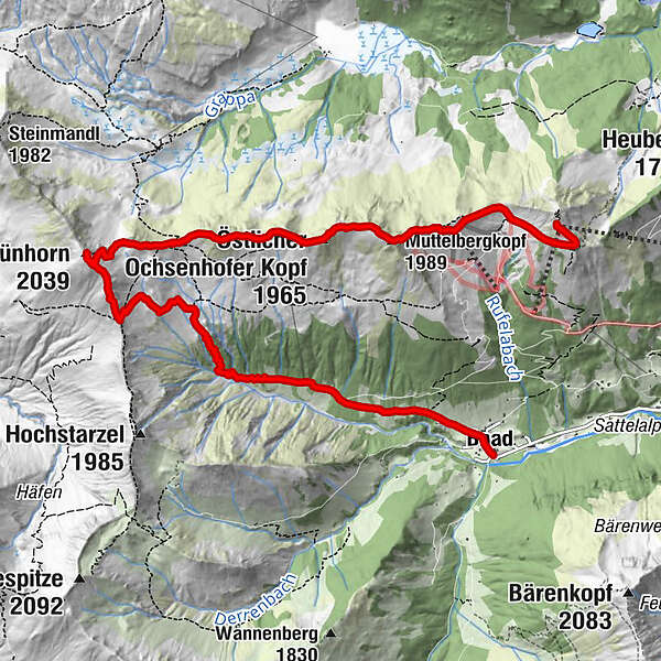
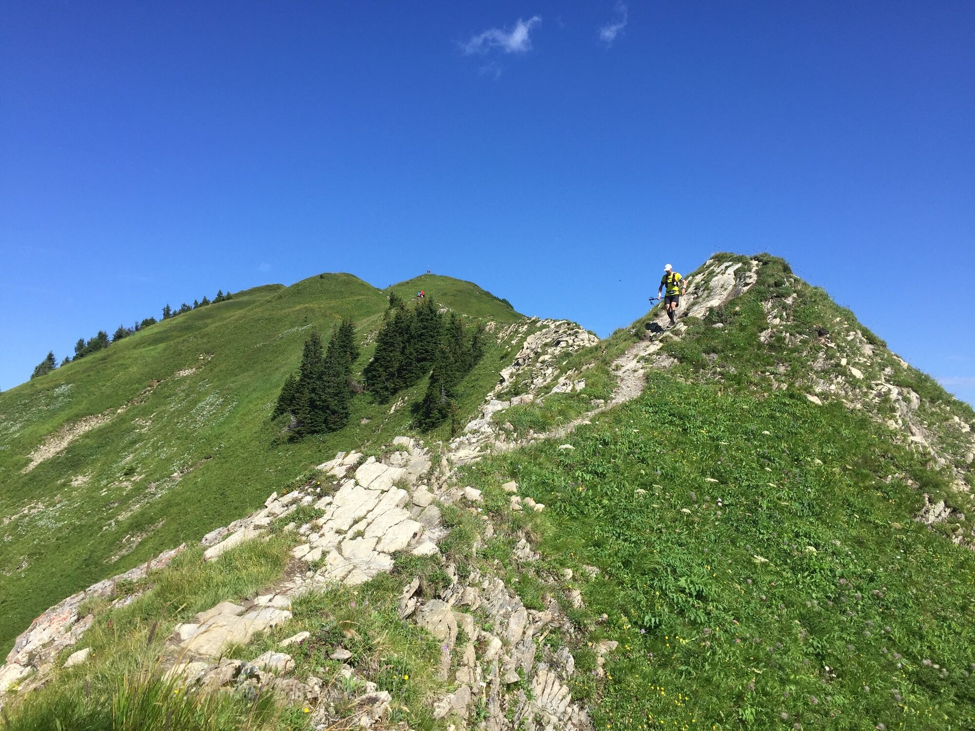
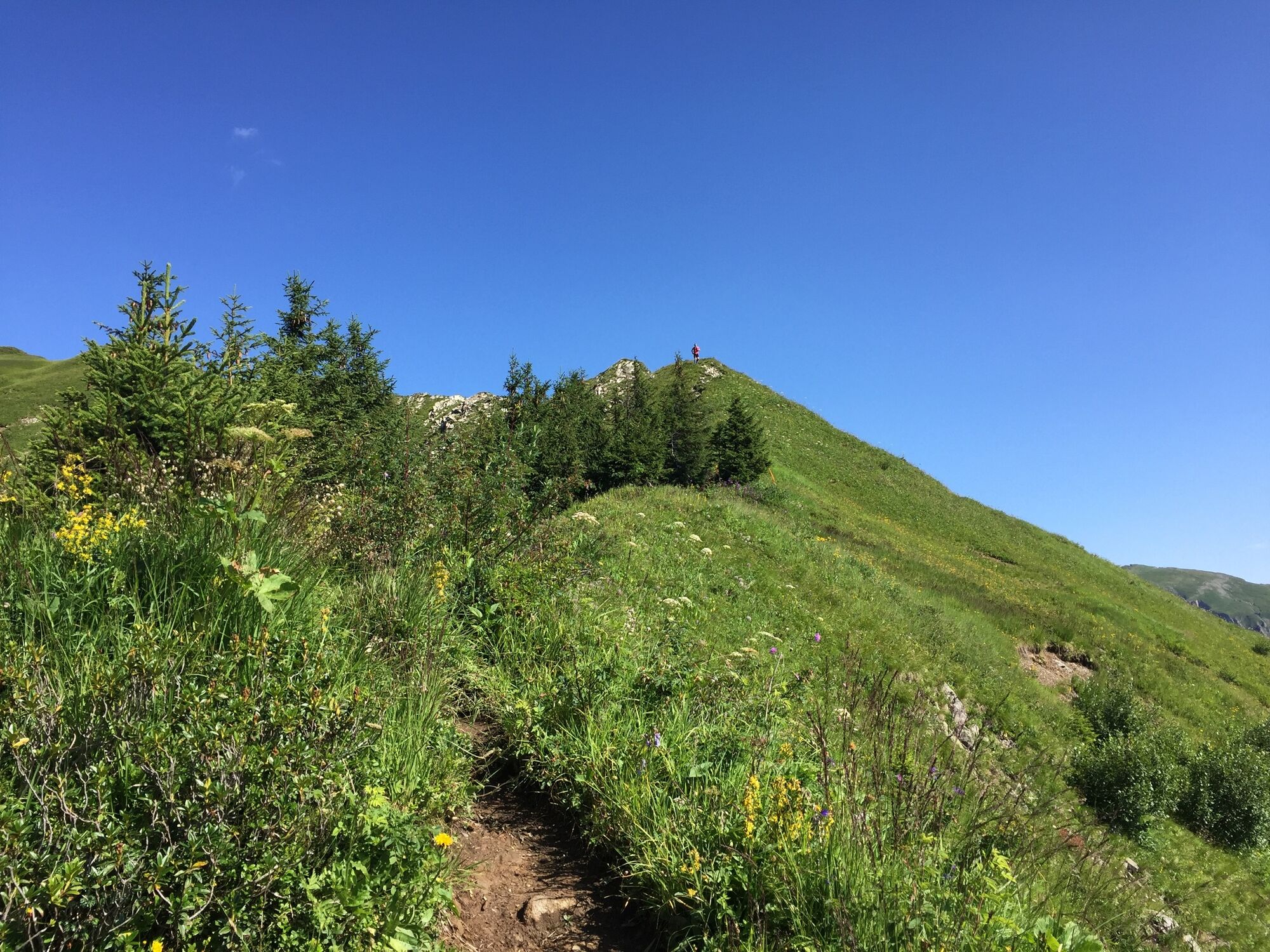
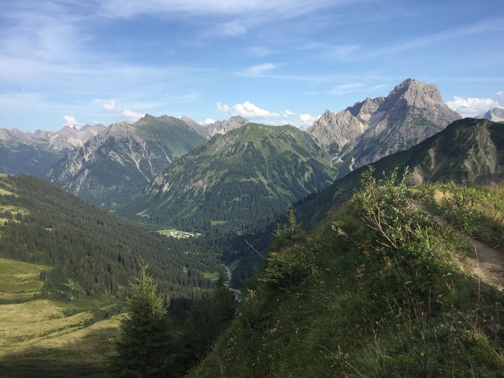
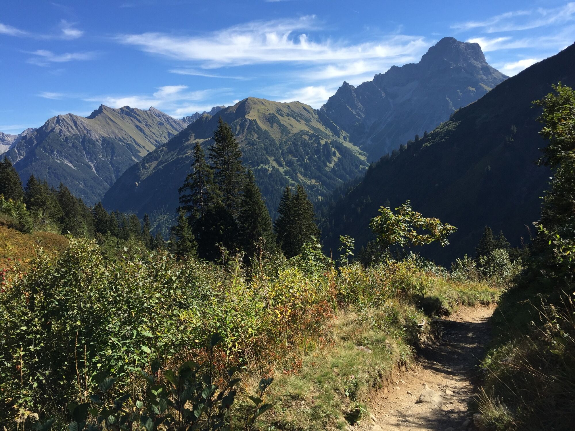
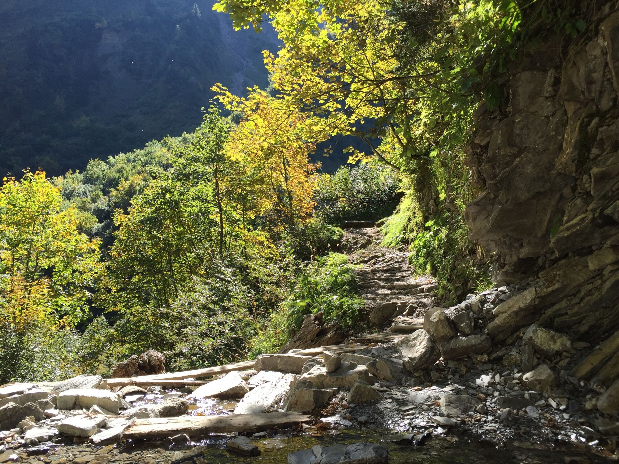
Over the Ochsenhofer Köpfe to the Grünhorn summit

Kirándulás

© Kleinwalsertal Tourismus eGen

© Kleinwalsertal Tourismus eGen

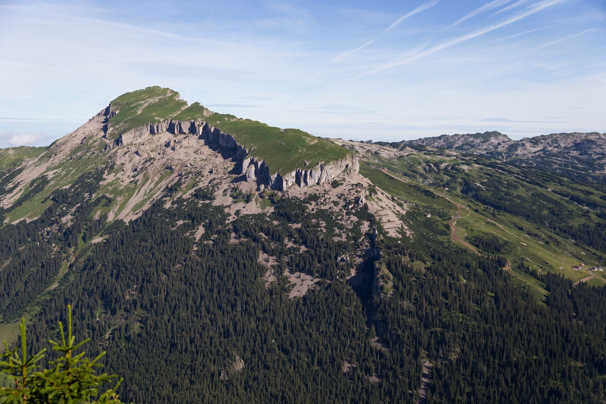
© Kleinwalsertal Tourismus eGen | Fotograf: Oliver Farys

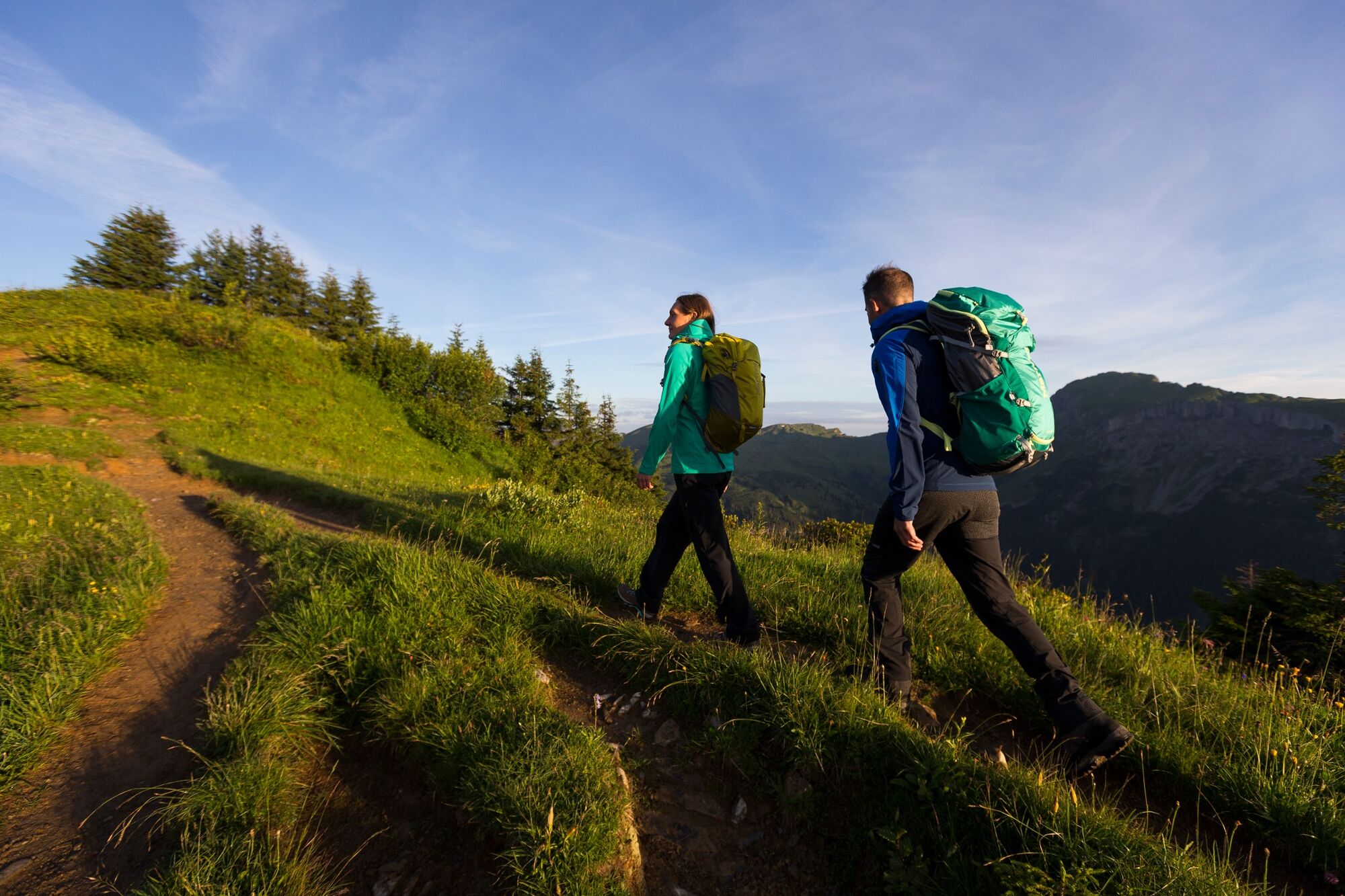
© Kleinwalsertal Tourismus eGen | Fotograf @Oliver Farys

© Kleinwalsertal Tourismus eGen

© Kleinwalsertal Tourismus eGen

© Kleinwalsertal Tourismus eGen

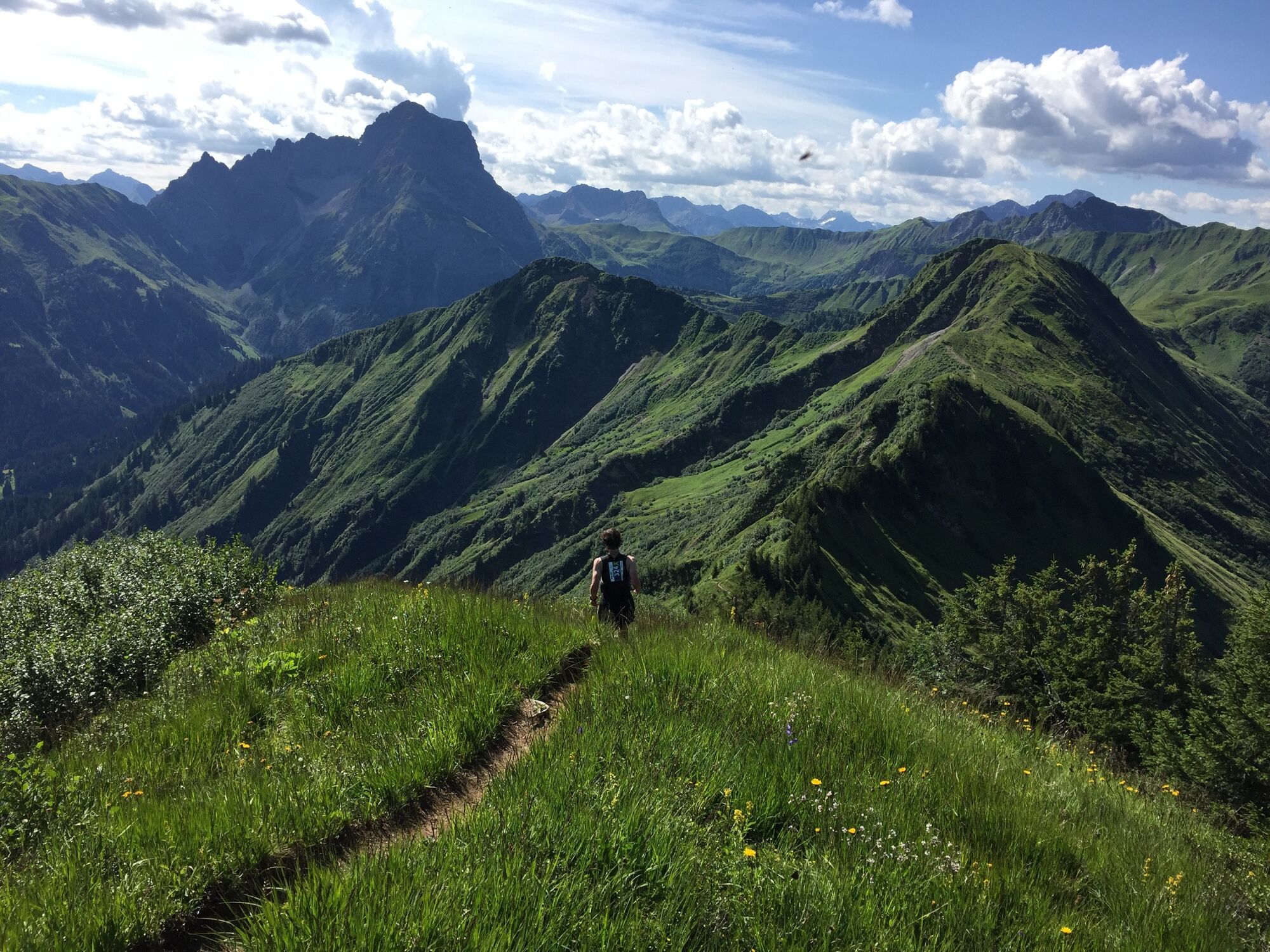
© Kleinwalsertal Tourismus eGen

© Kleinwalsertal - Kleinwalsertal Tourismus eGen

© Kleinwalsertal Tourismus eGen

- Rövid leírás
-
Promising ridge hike from the Walmendingerhorn over the Starzeljoch for sure-footed.
- Nehézség
-
nehéz
- Értékelés
-
- Útvonal
-
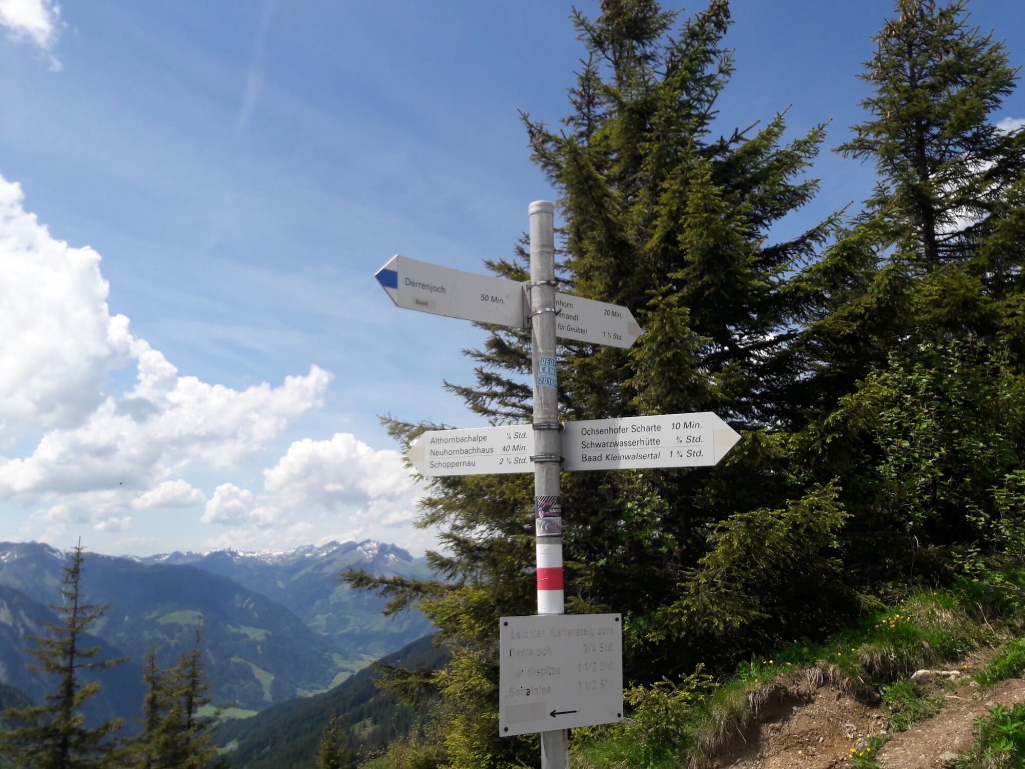
Gipfelrestaurant Walmendingerhorn (1.946 m)0,0 kmMuttelbergkopf (1.989 m)1,9 kmGrünhorn (2.039 m)4,8 kmGaststätte Starzelhaus9,0 kmBaad (1.244 m)9,4 kmAlpenhotel Widderstein9,4 kmRestaurant Kuhstall9,5 km
- Legjobb szezon
-
janfebrmárcáprmájjúnjúlaugszeptoktnovdec
- Legmagasabb pont
- 2.023 m
- Úti cél
-
Mittelberg
- Magassági profil
-


- Szerző
-
A túra Over the Ochsenhofer Köpfe to the Grünhorn summit a outdooractive.com feltéve, hogy.
GPS Downloads


Általános információ
Frissítő megálló
Flora
Ígéretes
További túrák a régiókban


