


- Rövid leírás
-
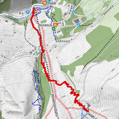
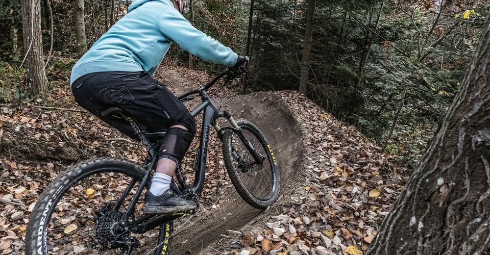
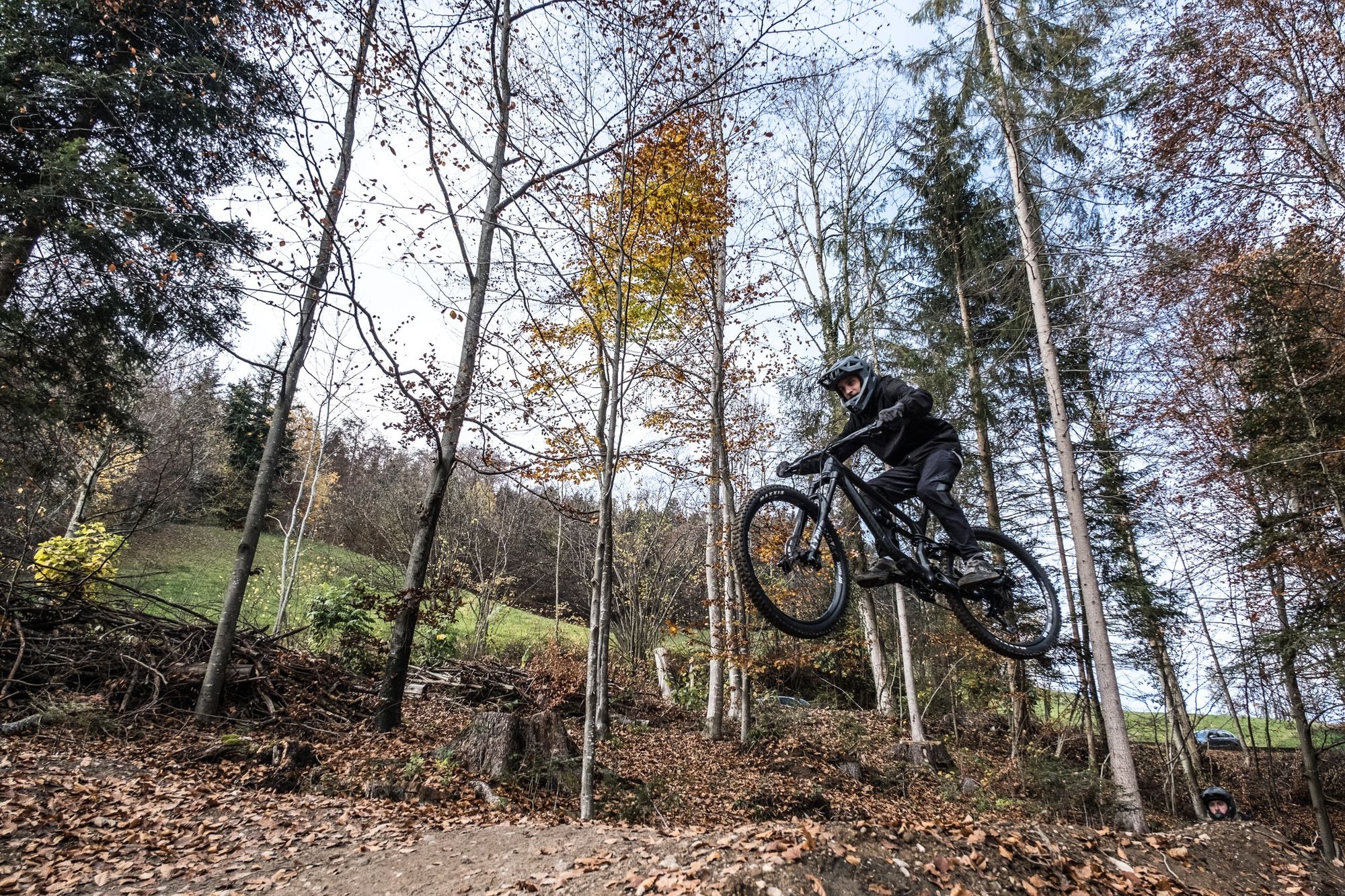
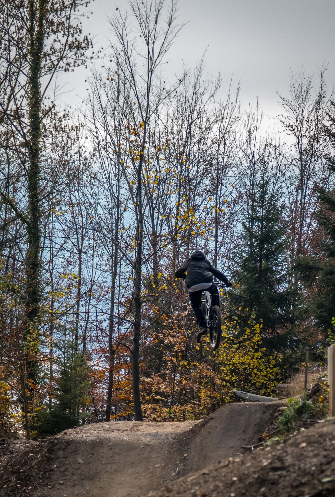
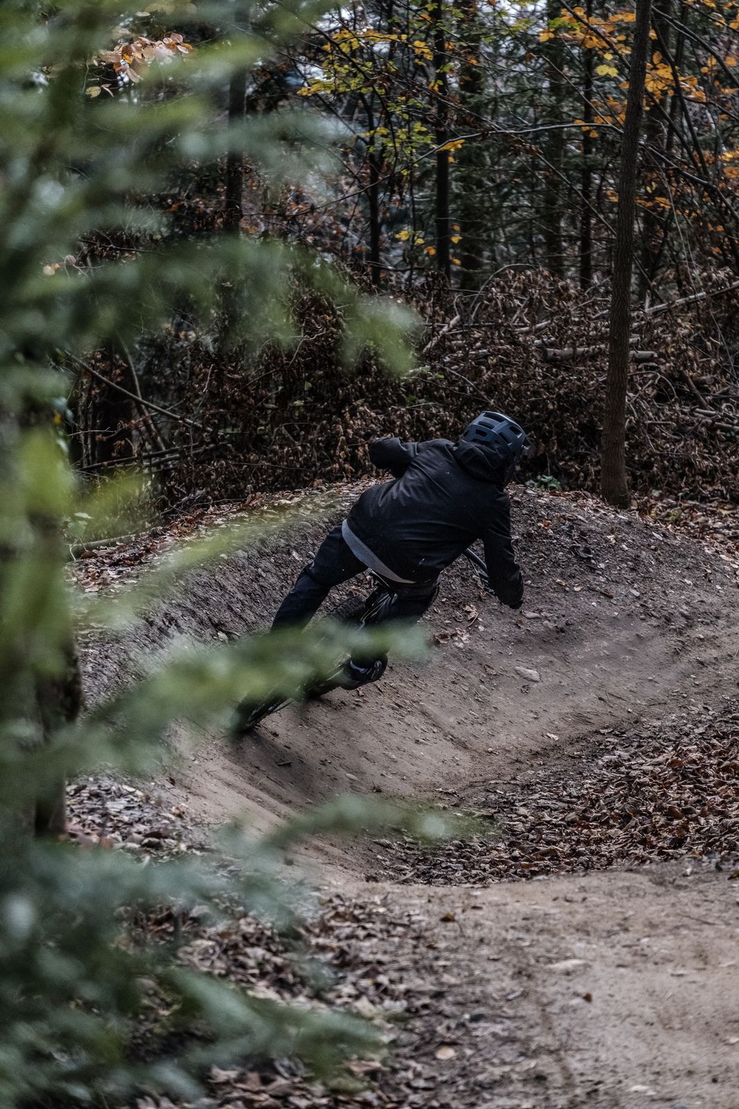
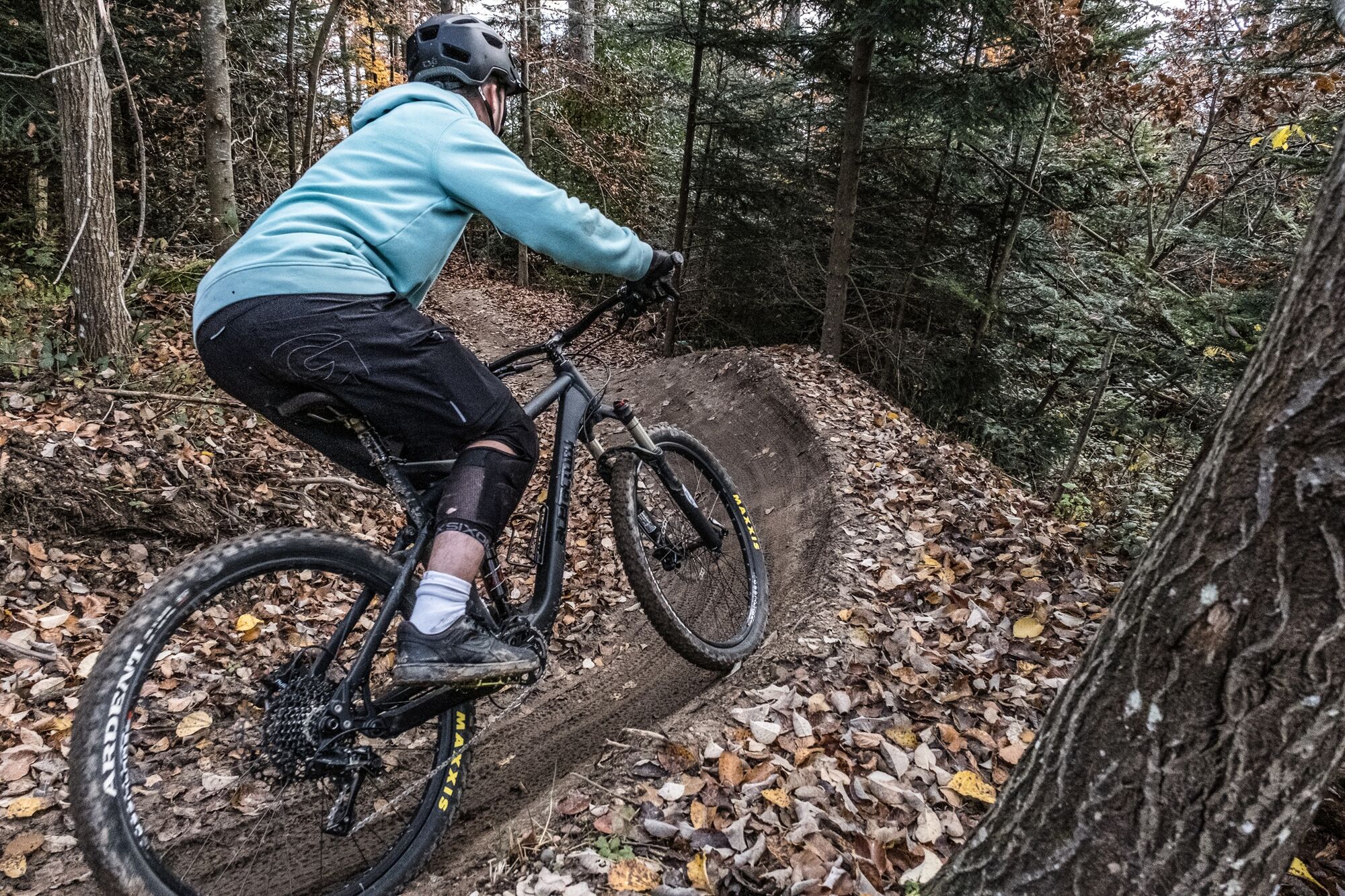
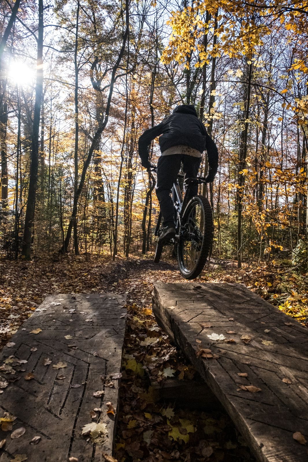
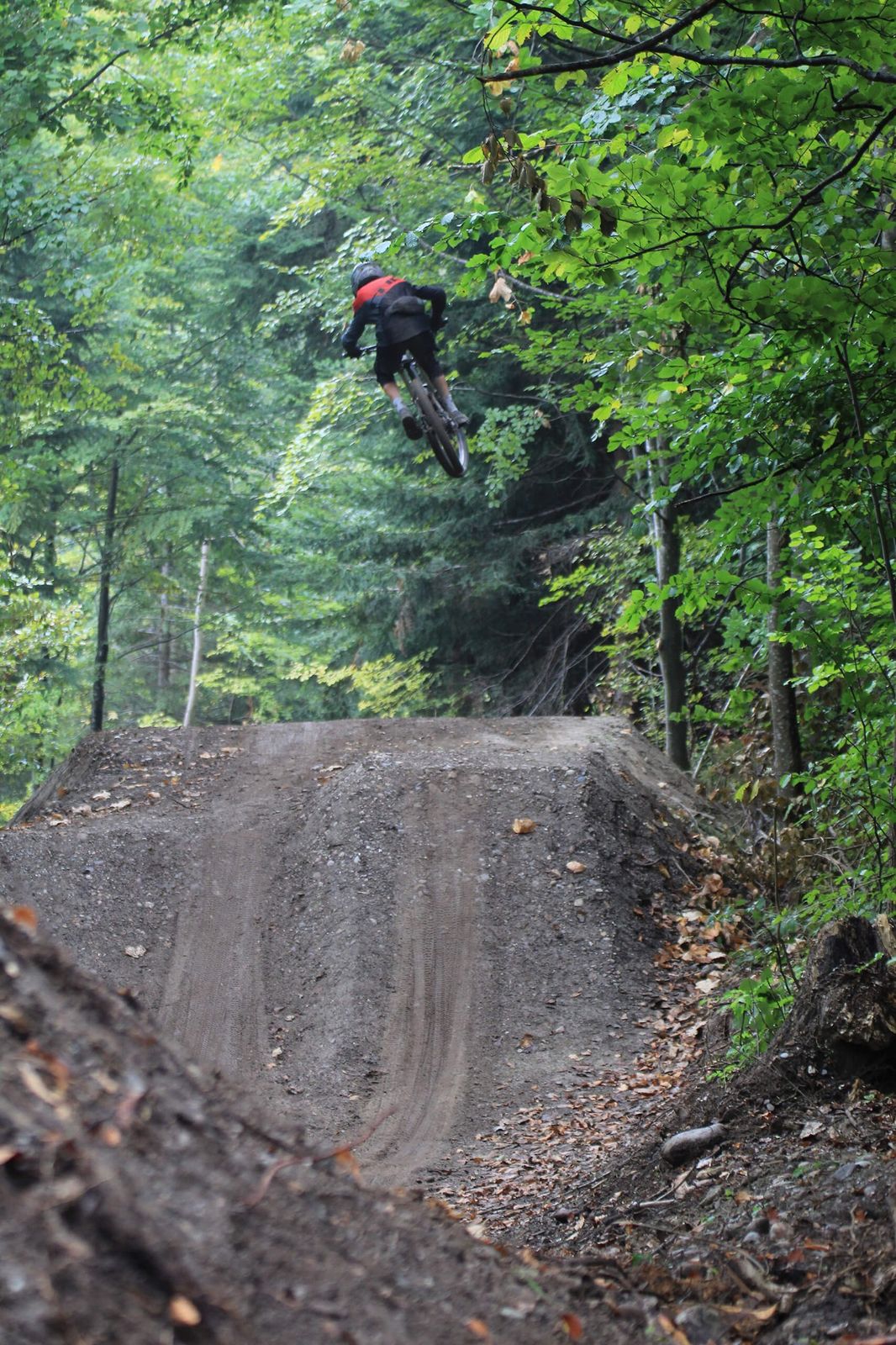
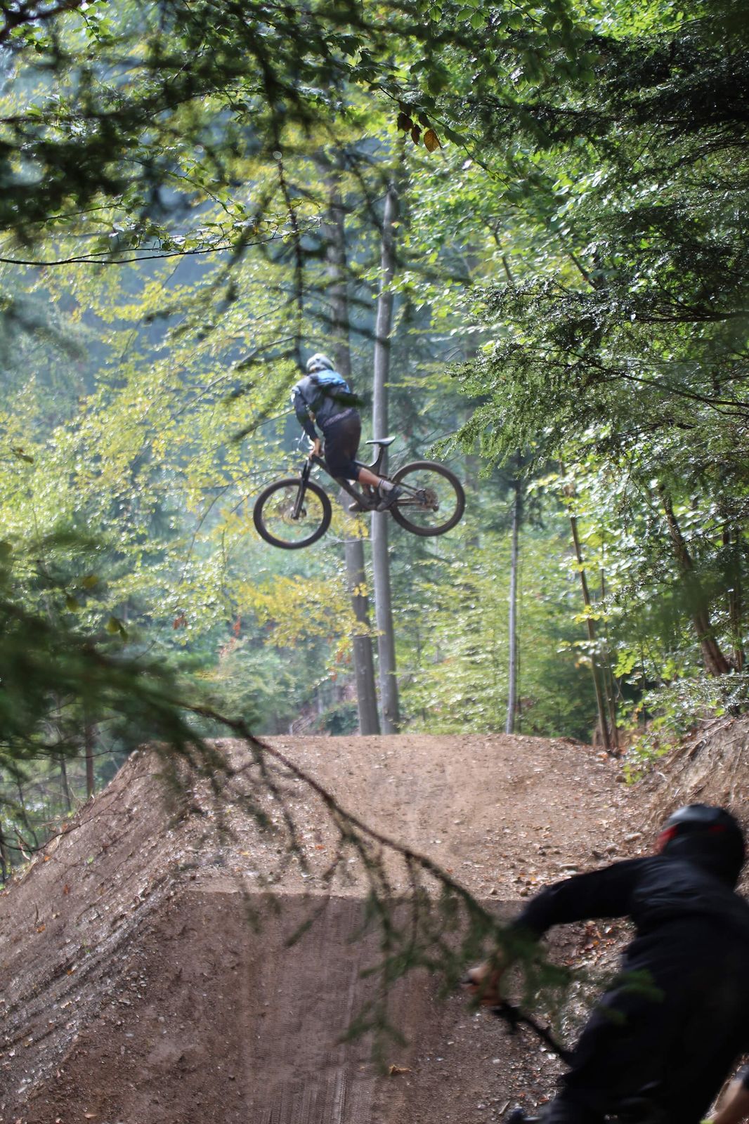
Starting at Goldiwil, the Goldiwheel Flowtrail winds through the woods to Thun. Waves, jumps and steep-walled bends plus sections left in their natural state (with roots protruding from soft forest floors) ensure variety. The highlight of the trail, which is suitable for fit and experienced bikers, is the jumpline, which has tables up to 11 metres long (although all elements can be traversed or ridden over).
- Nehézség
-
közepes
- Értékelés
-
- Útvonal
-
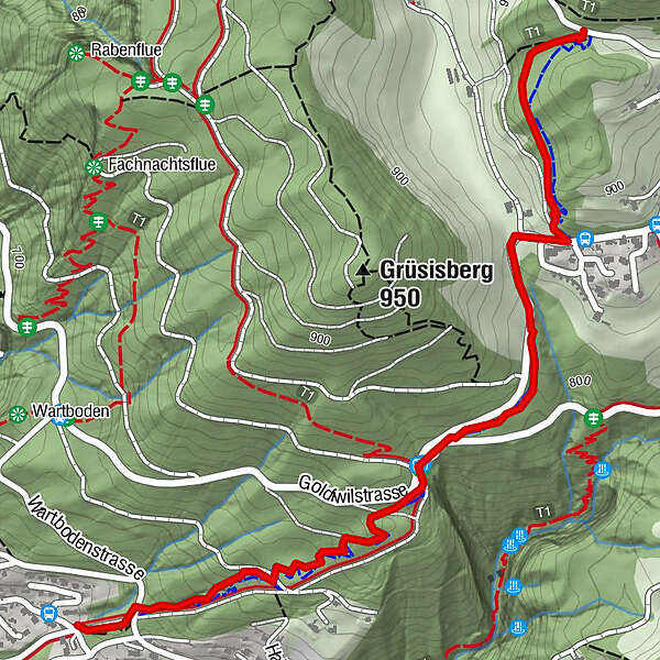
Thun (560 m)2,2 km
- Legjobb szezon
-
janfebrmárcáprmájjúnjúlaugszeptoktnovdec
- Legmagasabb pont
- 916 m
- Úti cél
-
Thun
- Magassági profil
-
 © outdooractive.com


- Szerző
-
A túra Goldiwheel Trail a outdooractive.com feltéve, hogy.
GPS Downloads


Út
Trial
További túrák a régiókban