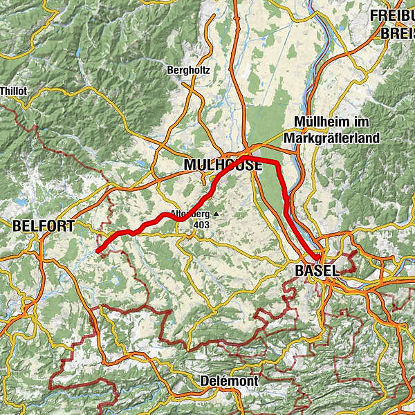
EuroVelo 6 - From the Atlantic ocean to the Black sea - Montreux-Jeune > Huningue

Távolsági kerékpározás

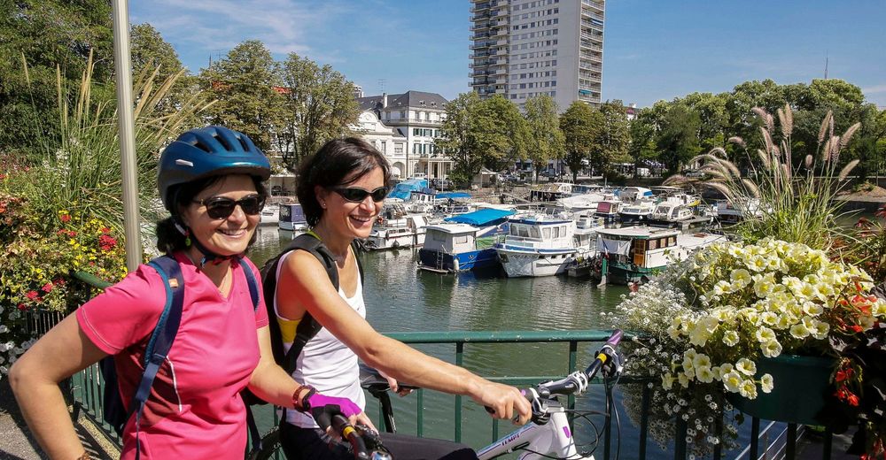
© ADT - Pictural

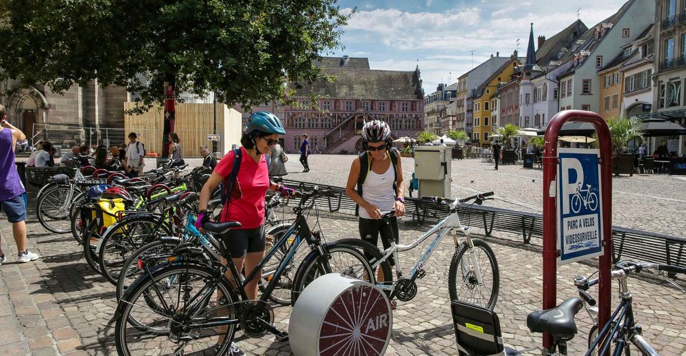
© L'Alsace
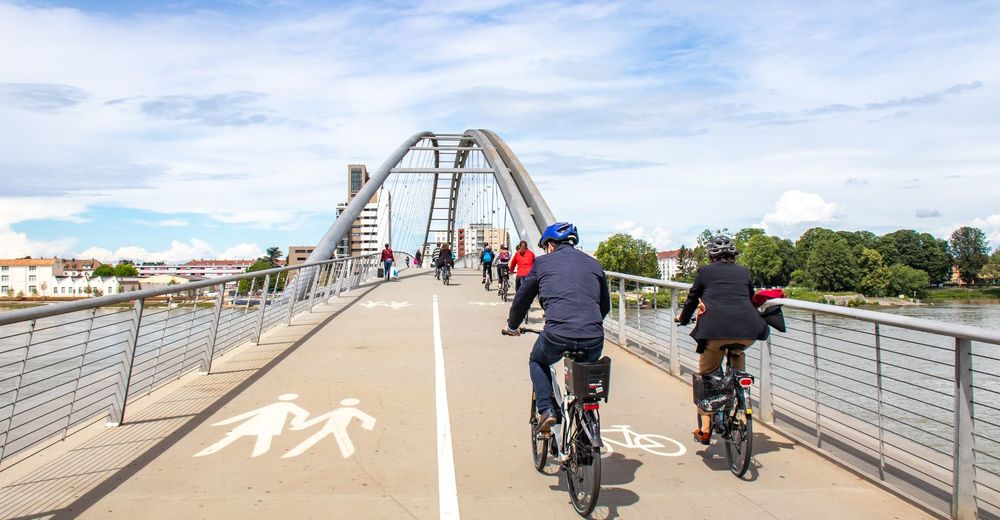
© ADT - Dimitri LETT
© ADT - Dimitri LETT
© ADT - Pictural
© ADT - Pictural

© ADT - Pictural
© ADT - Dimitri LETT

- Rövid leírás
-
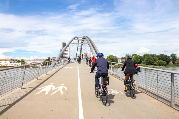
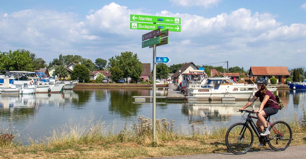
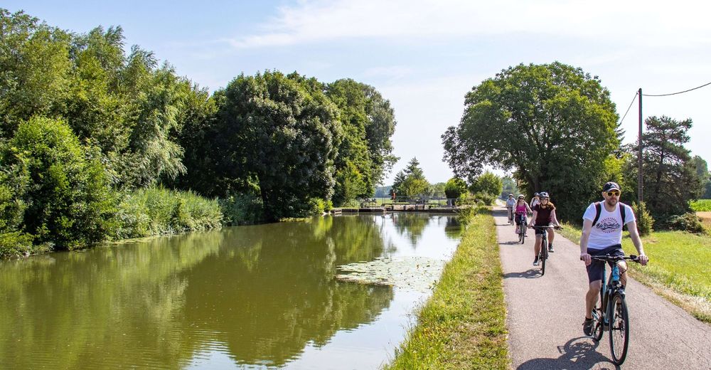
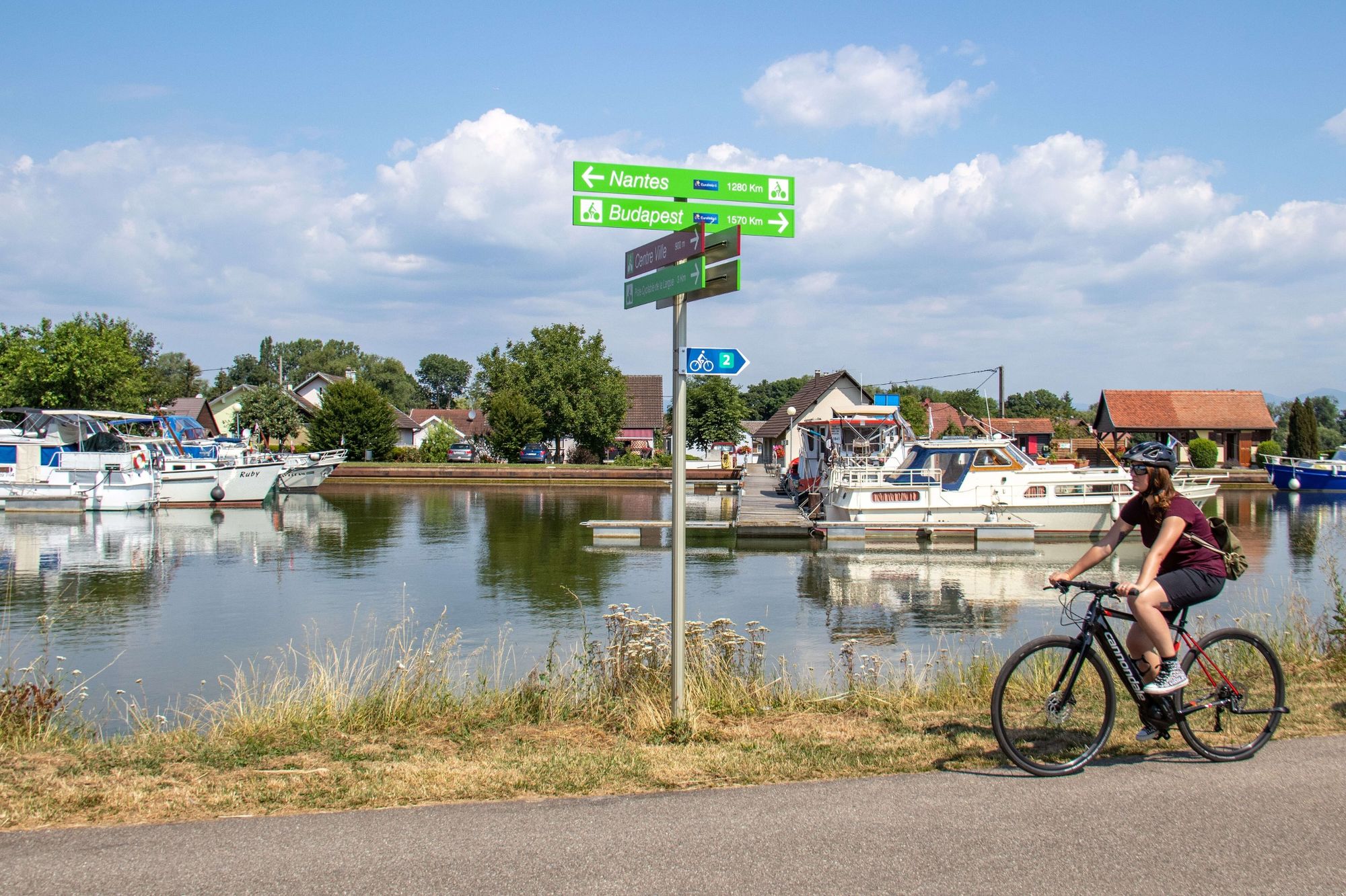
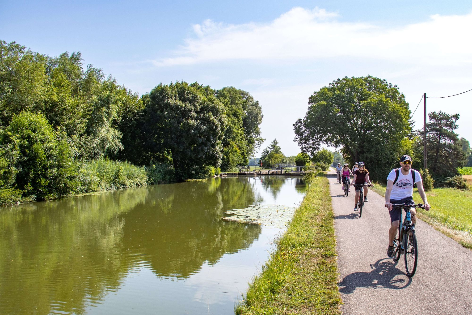
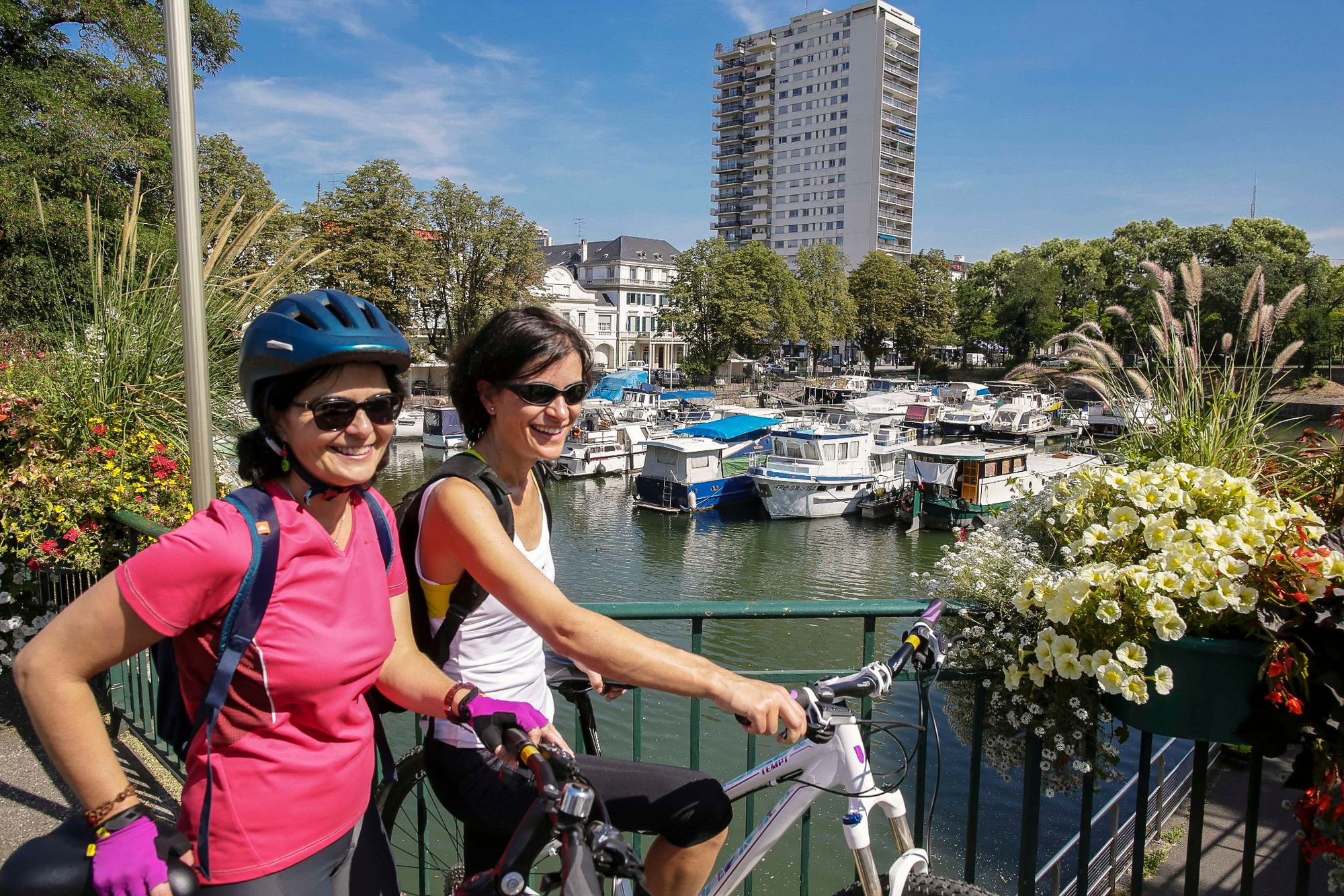
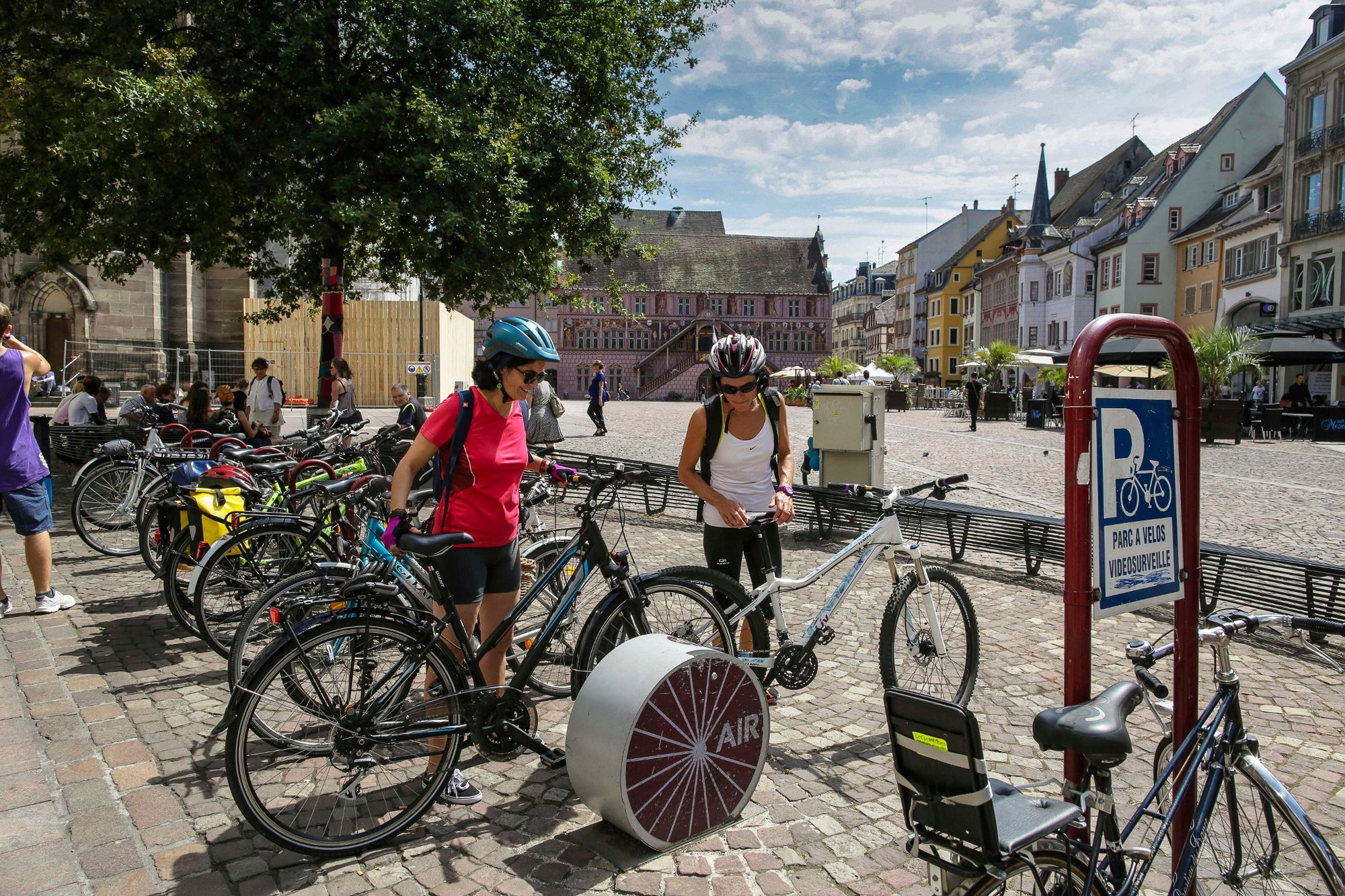
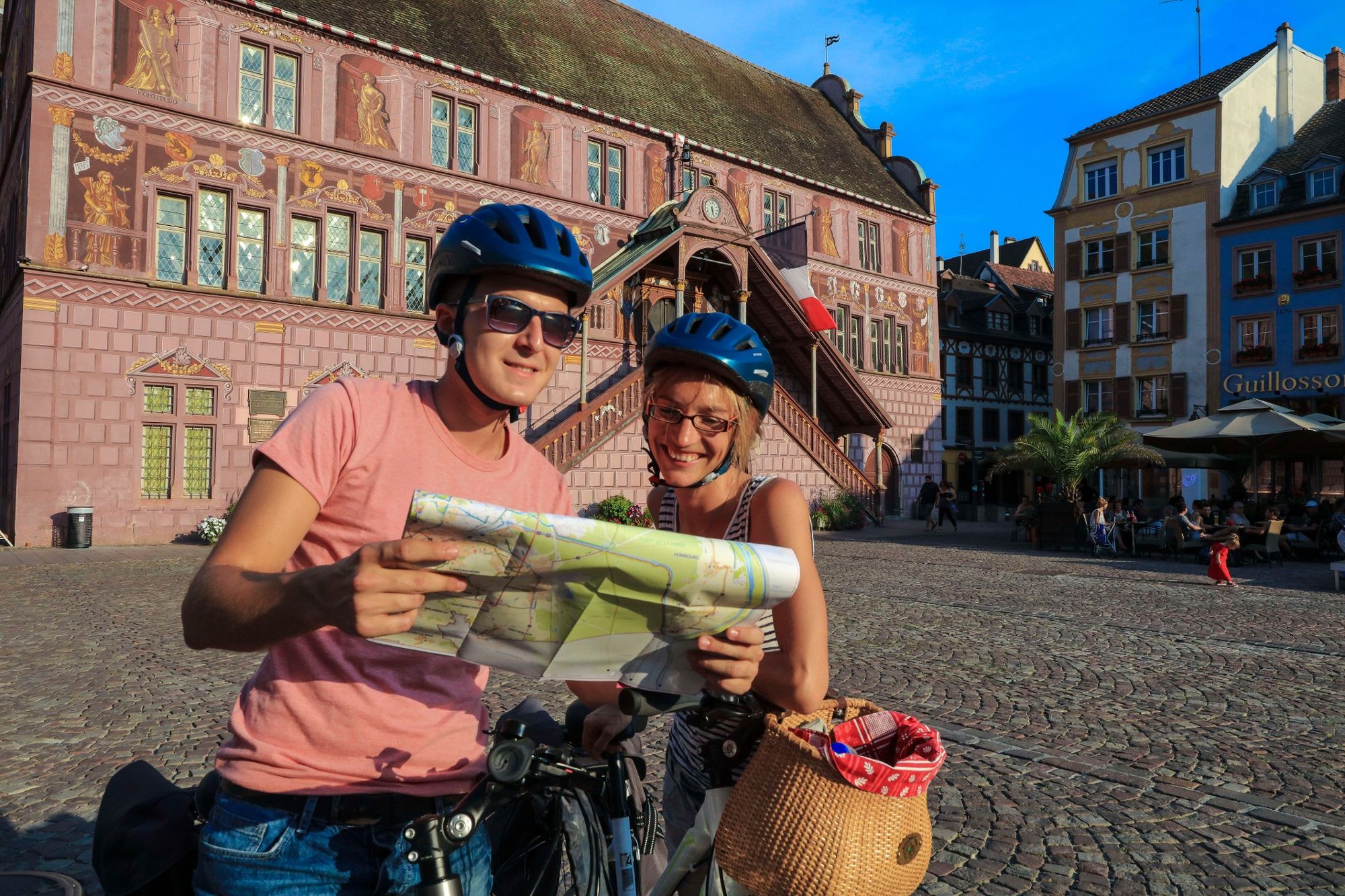
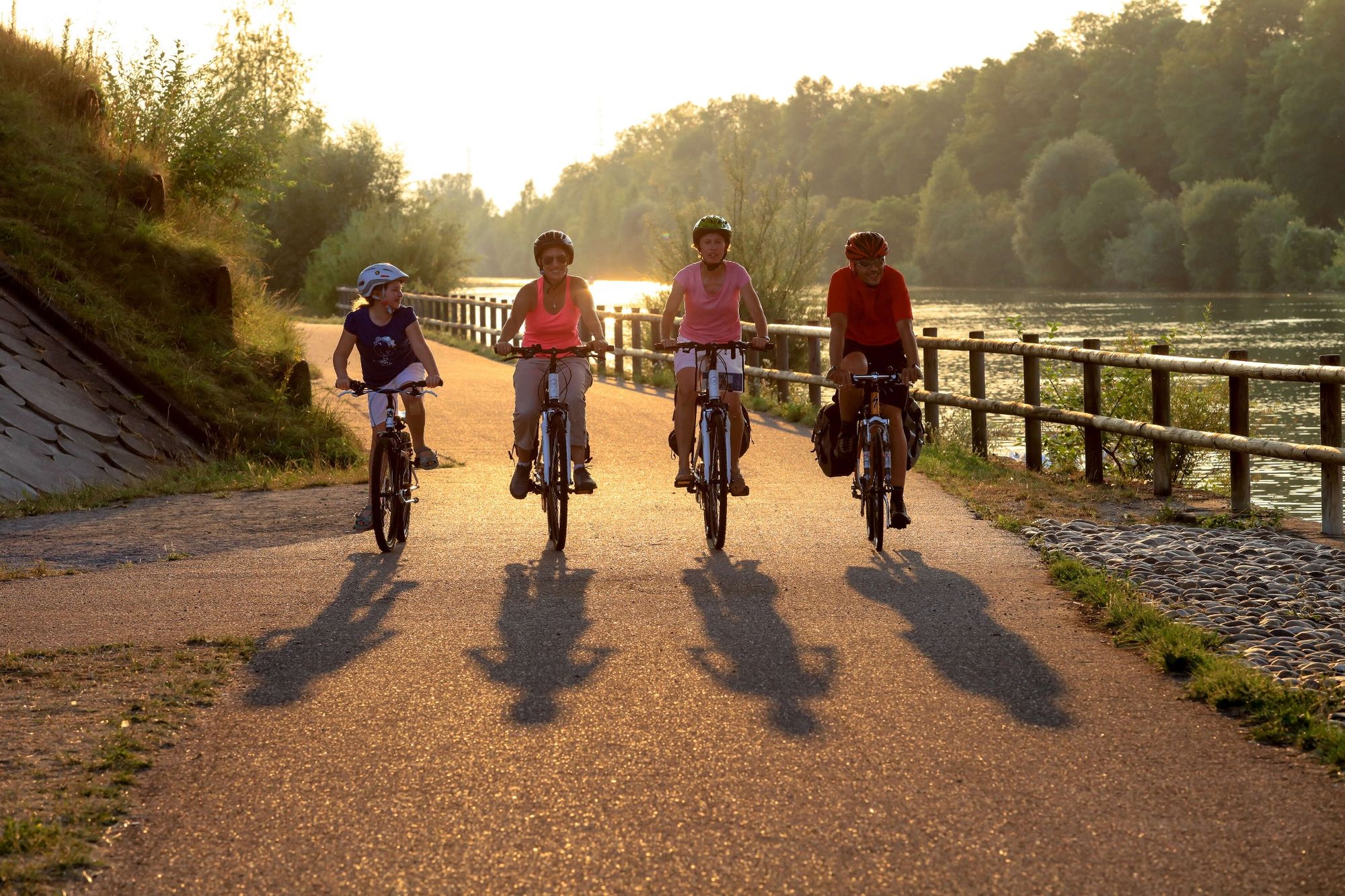
Eurovelo 6 or the "Rivers road" allows to connect France to Romania, it crosses France from Pays de la Loire to Alsace and this route goes from Montreux-Jeune to Huningue in Alsace.
- Nehézség
-
könnyű
- Értékelés
-
- Útvonal
-
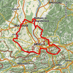
Raides Chênes0,7 kmJungmünsterol2,1 kmEs Îles2,8 kmGottesthal-Luttern4,9 kmGottesthal5,1 kmLa Gasse5,8 kmRetzweiler7,8 kmDammerkirch9,6 kmAux 100 pâtes9,6 kmWolfersdorf10,1 kmHagenbach13,4 kmEglingen15,0 kmLache19,5 kmHeidweiler20,7 kmIllfurth23,1 kmGuinguette23,1 kmNeben dem Kanal23,3 kmIllgasse25,9 kmZillisheim26,2 kmBisgaertle26,9 kmBrunstatt30,2 kmMülhausen32,4 kmRiedisheim33,6 kmSteinlache36,5 kmÎle Napoléon38,0 kmÉglise de l'Immaculée Conception38,2 kmUnten an Der Bruecke50,1 kmGroßkems53,8 kmSnack Camping du Canal54,2 kmNiederer Langhag56,2 kmSpitzer Wildgarten56,8 kmLa Nouvelle Brasserie63,0 kmHüningen66,4 kmBasel (260 m)67,3 kmWil-sur-le-Rhin (279 m)68,0 km
- Legjobb szezon
-
janfebrmárcáprmájjúnjúlaugszeptoktnovdec
- Legmagasabb pont
- 350 m
- Úti cél
-
Huningue
- Magassági profil
-
 © outdooractive.com


-

-
SzerzőA túra EuroVelo 6 - From the Atlantic ocean to the Black sea - Montreux-Jeune > Huningue a outdooractive.com feltéve, hogy.
GPS Downloads


Általános információ
Kulturális/Történelmi
Flora
Ígéretes
További túrák a régiókban