Via Dinarica HR-B-13 Krka National Park


- Rövid leírás
-
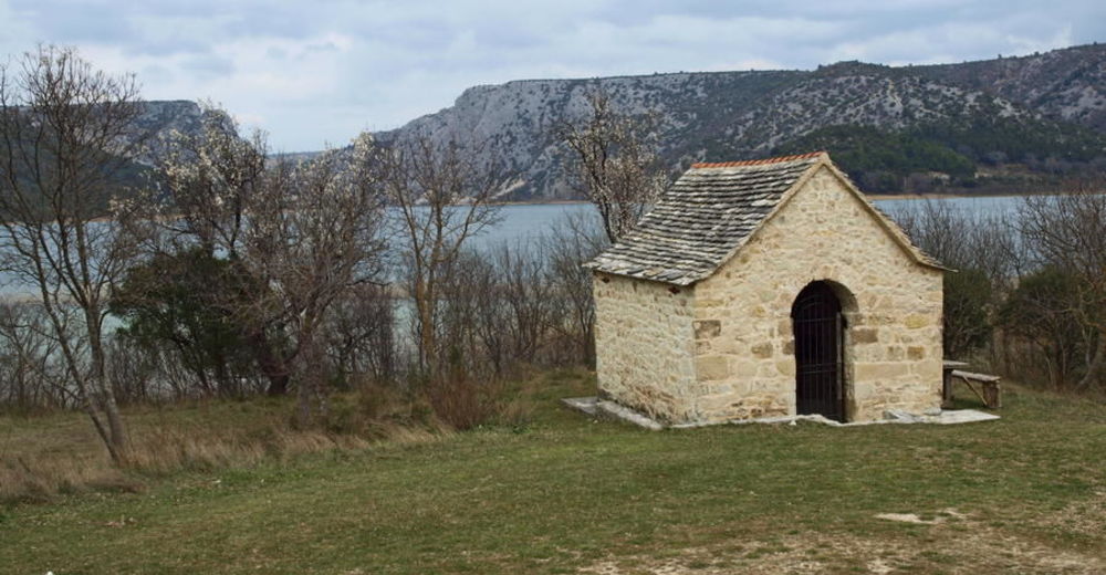
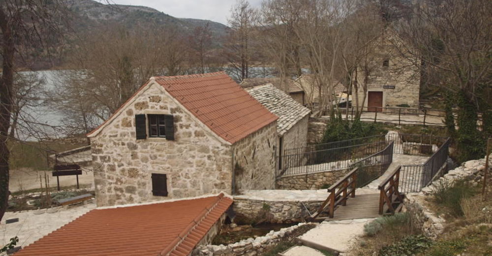
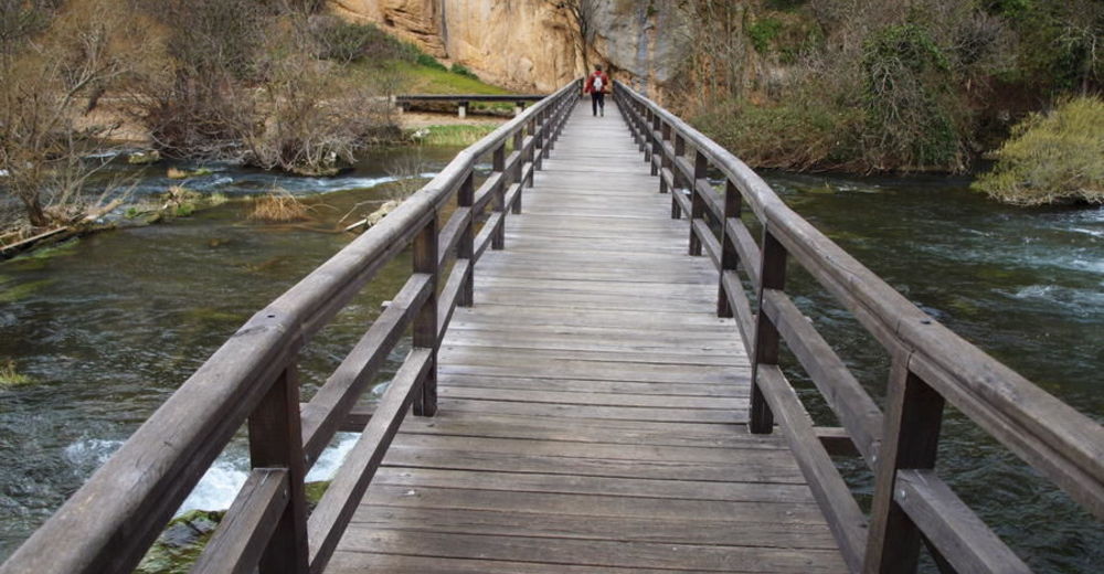
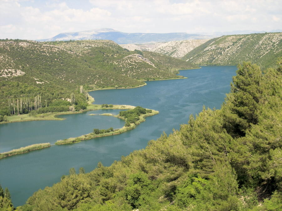
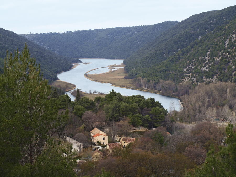
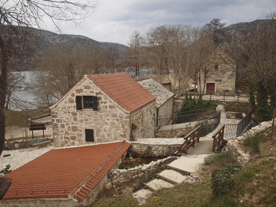
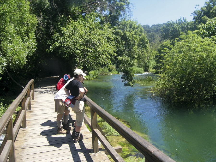
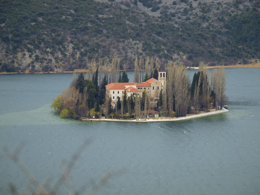
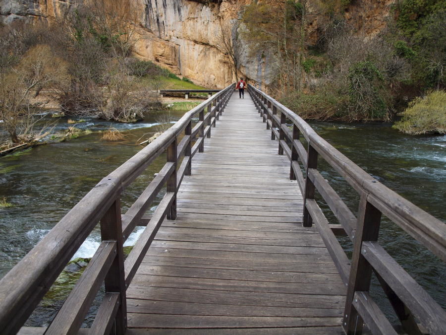
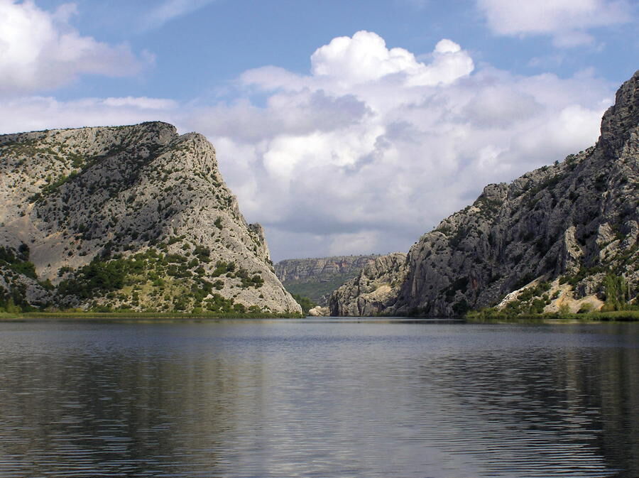
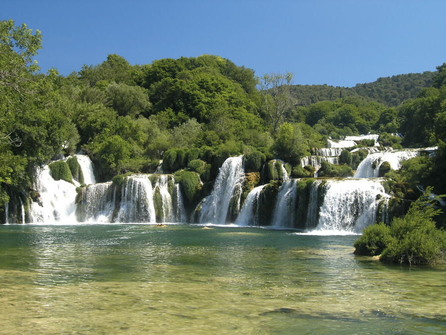
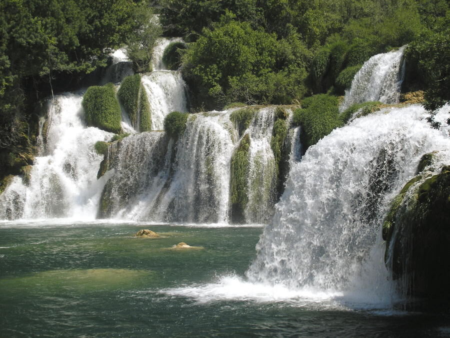
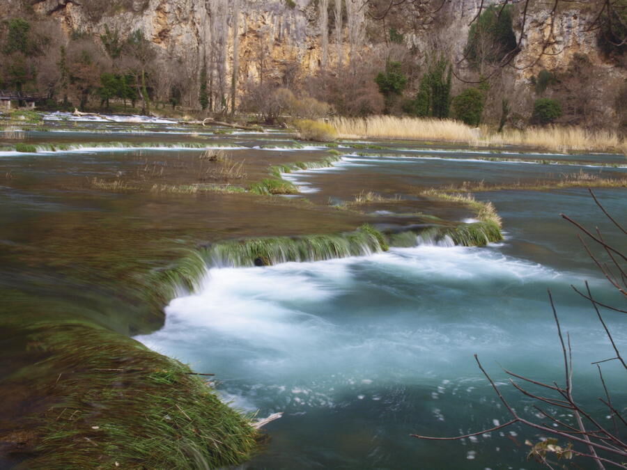
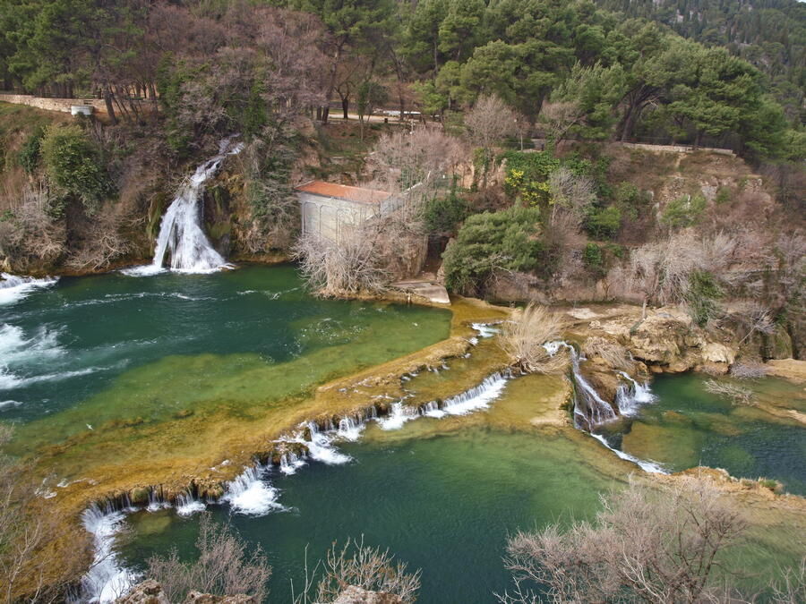
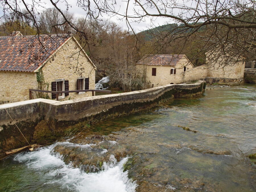
Even though the course of the Krka River is relatively short, the river itself and the area around it abound in numerous natural, cultural and historical attractions. Along almost every kilometer of the river, a curious visitor will be thrilled by unique and special sights – including seven large cascades and numerous small ones; remains of a Roman camp with an amphitheater; a fascinating Catholic monastery with a valuable collection of documents on a miniature islet; an Orthodox Christian monastery of extraordinary historical importance; complexes of old water mills; the oldest hydroelectric plant in Europe... All this, but also much more, is either squeezed together in a very small area of a narrow green canyon steeply cut into the bare and rugged karst landscape, or hidden along the canyon edges.
- Nehézség
-
könnyű
- Értékelés
-
- Útvonal
-
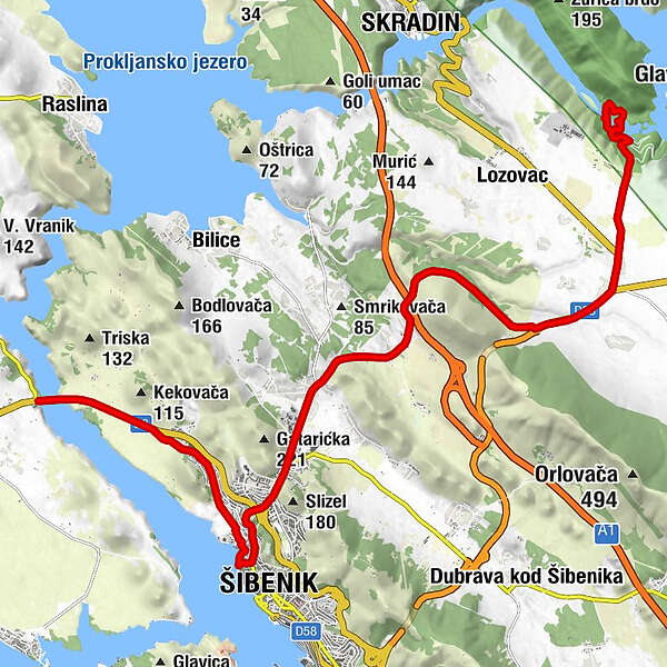
Njivice3,5 kmSv. Elizabeta4,1 kmSebenico4,2 kmCrkva sv. Nediljica4,8 kmCrkva sv. Križa5,1 kmNovo Naselje8,0 kmGatara8,7 kmDulubići10,5 kmJolići10,6 kmSlapovi Krke15,1 kmTromilja15,2 kmBife Ivan15,2 kmGolub15,7 kmpizzeria Uzdravlje16,9 kmStari mlin19,6 kmSkradinski Buk19,8 kmGrancigula20,1 kmKalikuša20,1 km
- Legjobb szezon
-
janfebrmárcáprmájjúnjúlaugszeptoktnovdec
- Legmagasabb pont
- 184 m
- Úti cél
-
Naciolani park Krka
- Magassági profil
-
 © outdooractive.com


-

-
SzerzőA túra Via Dinarica HR-B-13 Krka National Park a outdooractive.com feltéve, hogy.