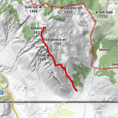
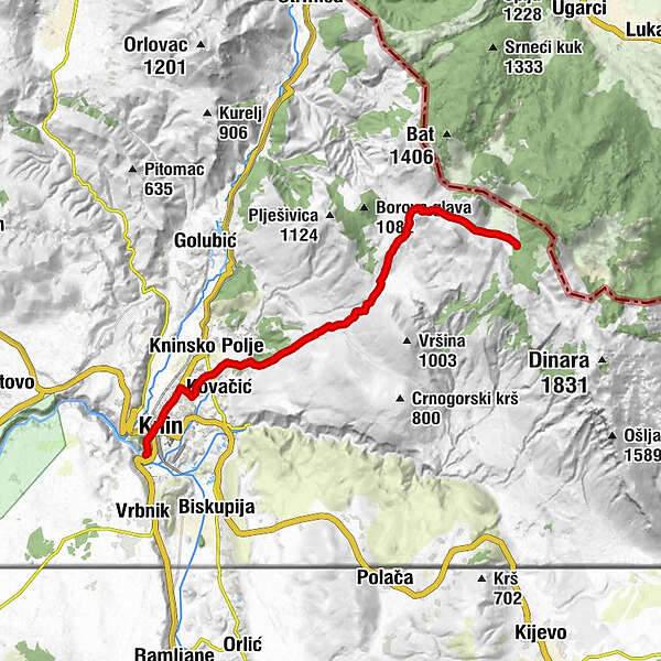
Via Dinarica HR-W-22 From Knin to Brezovac

Kirándulás
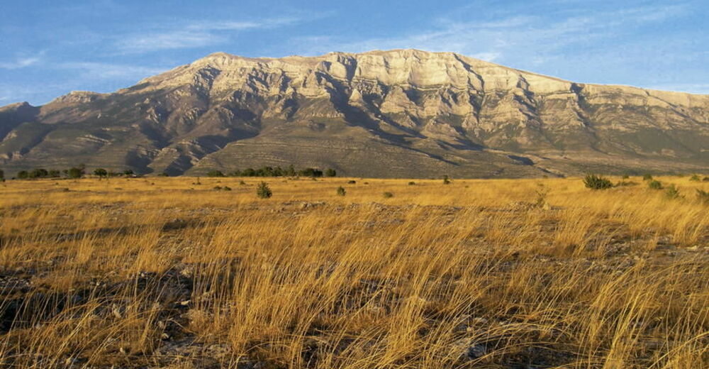
© Terra Dinarica - Alan Čaplar
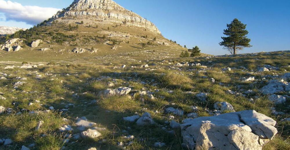
© Terra Dinarica - Alan Čaplar
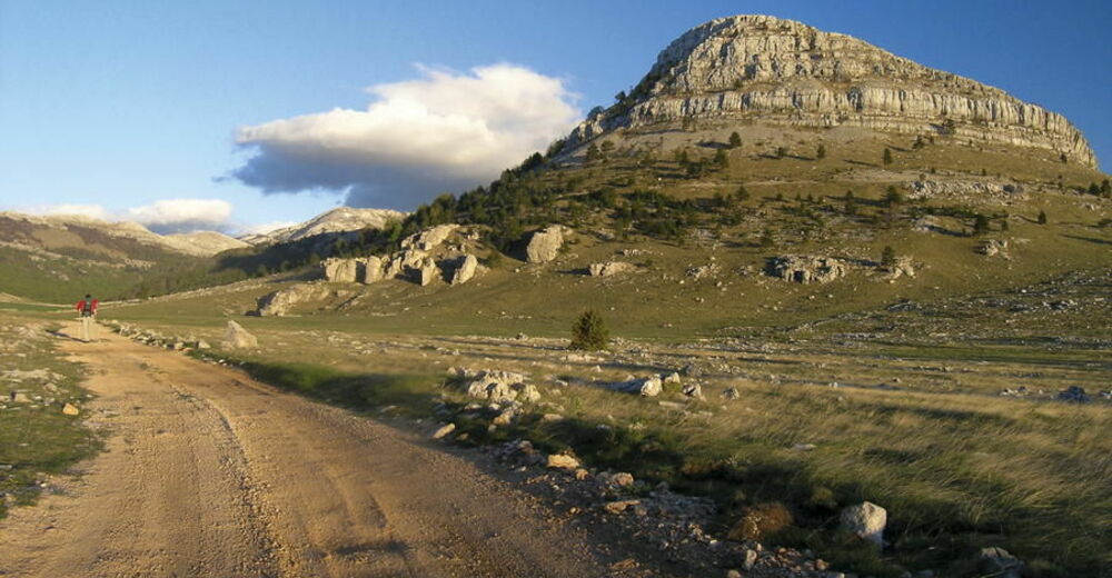
© Terra Dinarica - Alan Čaplar
© Terra Dinarica - Alan Čaplar
© Terra Dinarica - Elma Okić
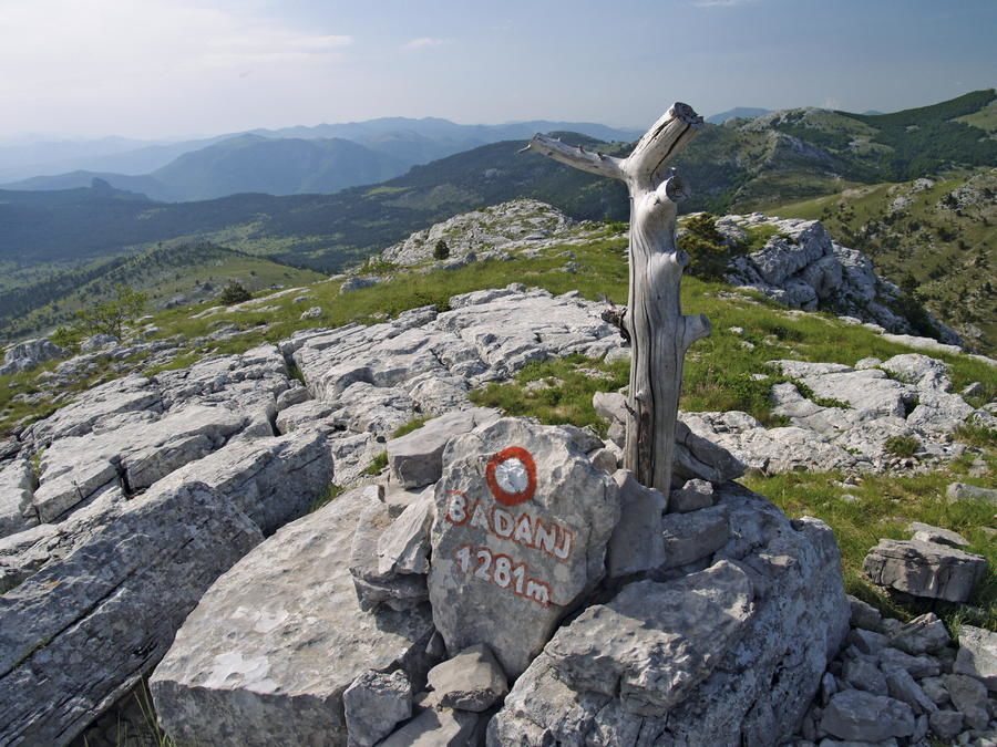
© Terra Dinarica - Alan Čaplar
© Terra Dinarica - Alan Čaplar
© Terra Dinarica - Alan Čaplar
© Terra Dinarica - Alan Čaplar
© Terra Dinarica - Zlatko Trojan

- Rövid leírás
-
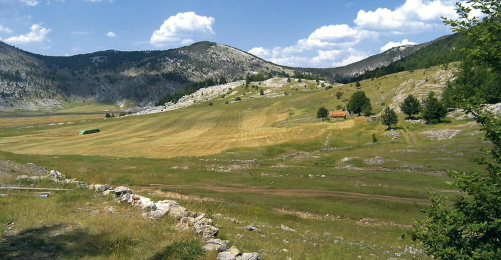
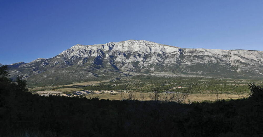
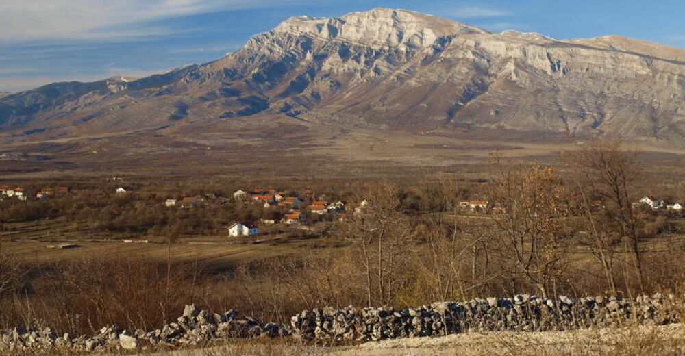
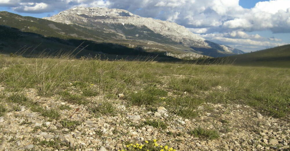
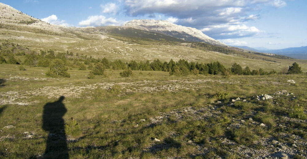
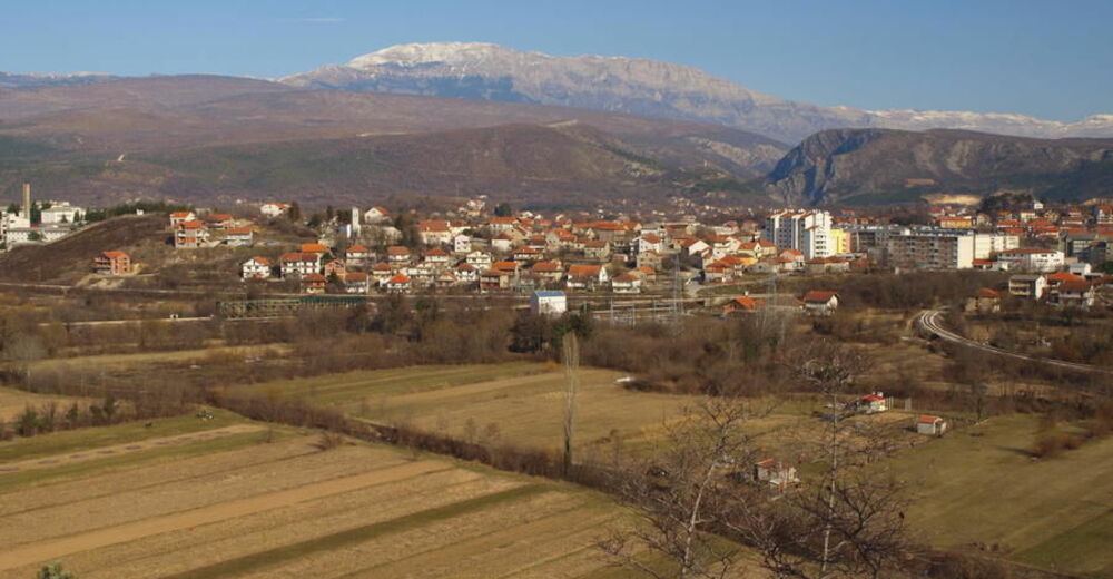
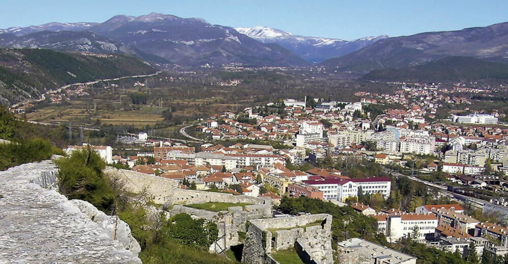
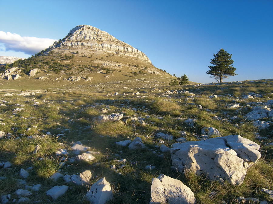
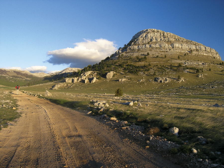
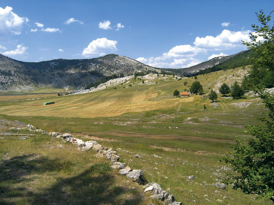
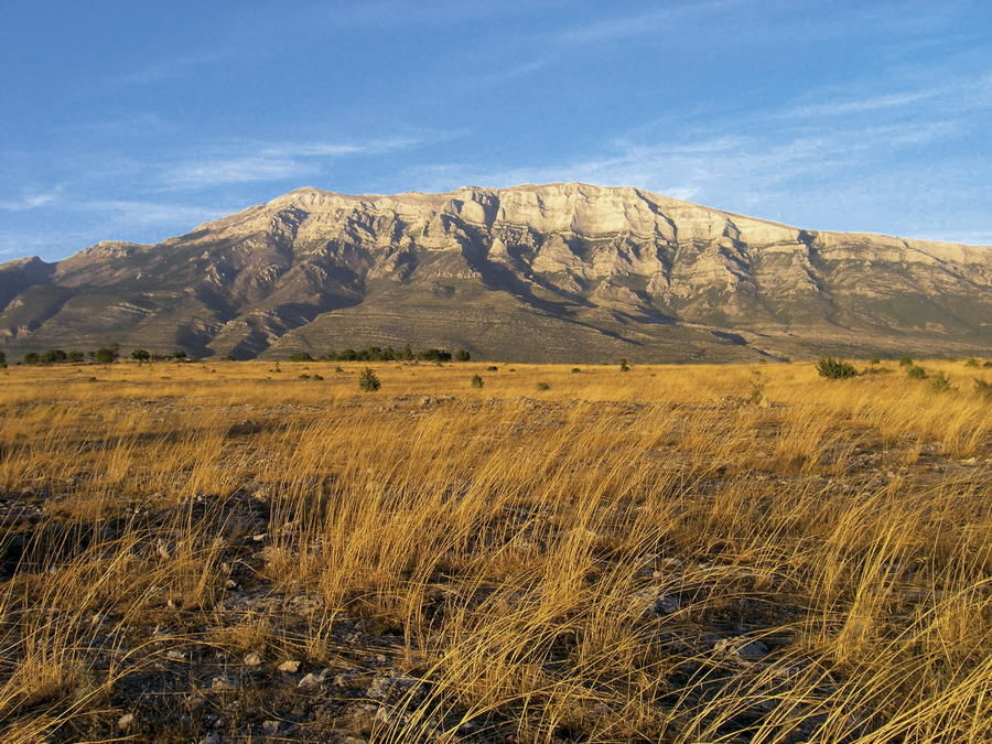
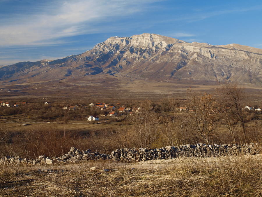
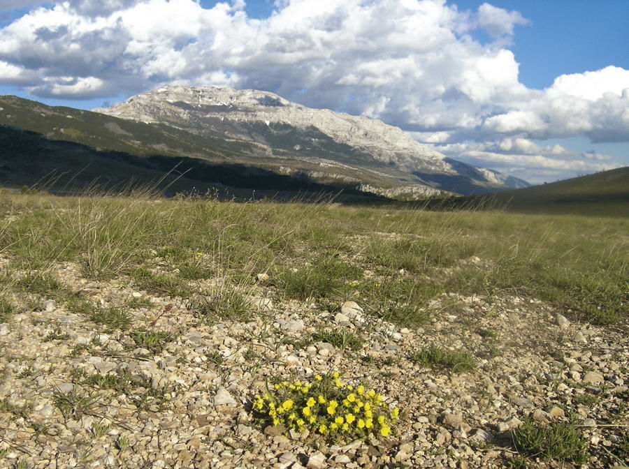
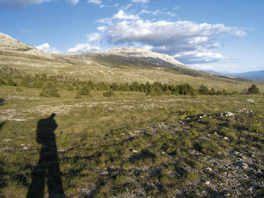
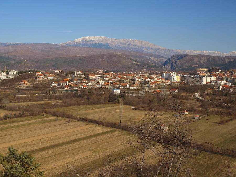
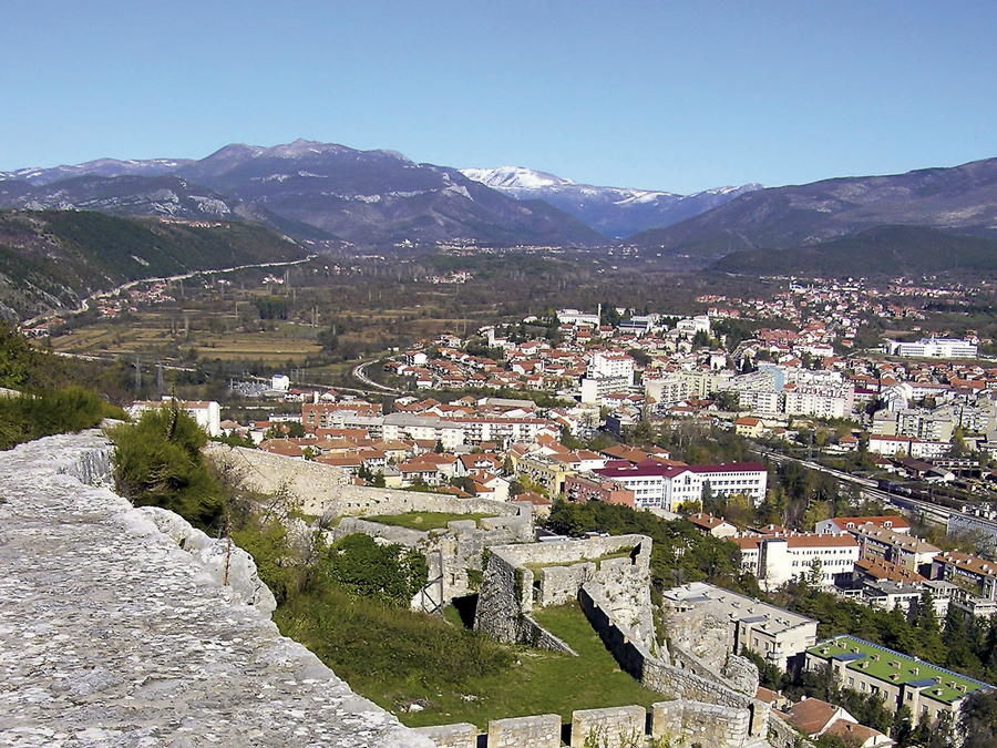
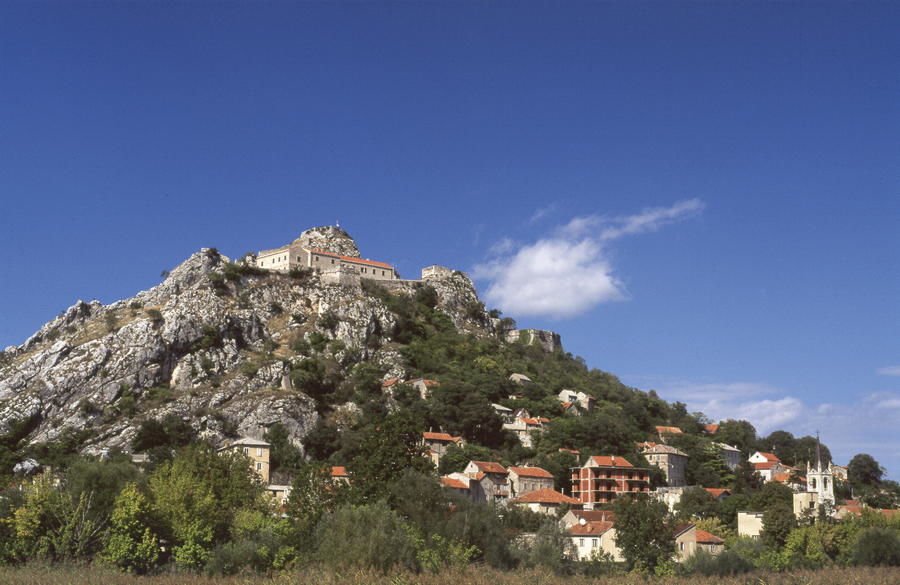
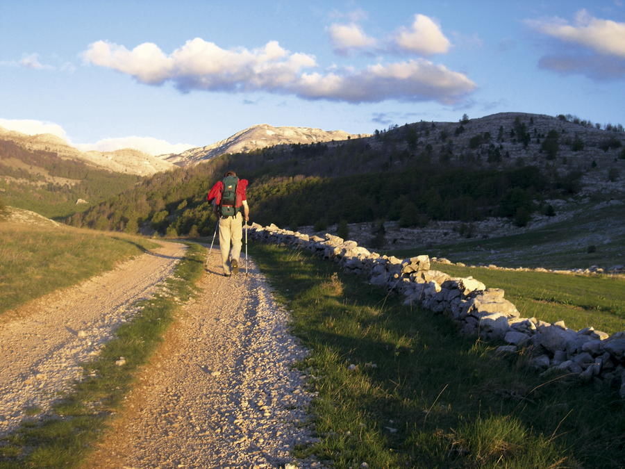
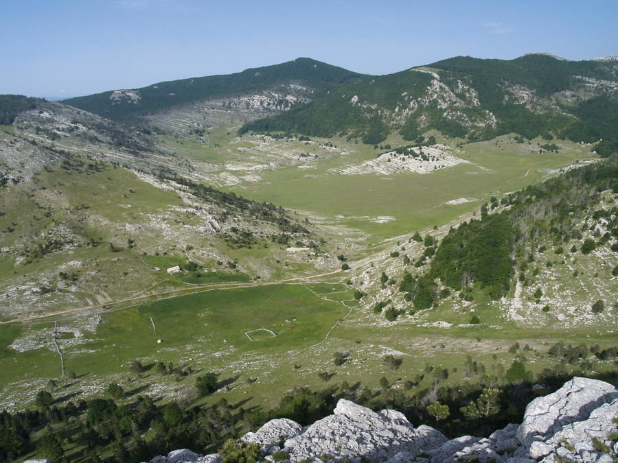
Dinara is the highest mountain in Croatia, and one of the most picturesque mountains in Dalmatia and in the Dalmatian hinterland. Even though it is not particularly high – not even exceeding the 2000-meter mark – it still represents one of the most impressive Croatian mountains with its shape and length. Its impressive massif, 20 kilometers long and almost 10 kilometers wide, rises as a natural boundary between Dalmatia and Bosnia, dividing two different worlds – the Mediterranean and the continental – like a wall of some sort.
- Nehézség
-
közepes
- Értékelés
-
- Útvonal
-
Restoran Tvrđava0,7 kmcrkva svete Barbare0,8 kmTenin1,8 kmLa Rossa2,1 kmGuge5,3 kmMarkov grob12,1 kmBrezovac18,7 km
- Legjobb szezon
-
janfebrmárcáprmájjúnjúlaugszeptoktnovdec
- Legmagasabb pont
- 1.074 m
- Úti cél
-
Brezovac
- Magassági profil
-
 © outdooractive.com

-

-
SzerzőA túra Via Dinarica HR-W-22 From Knin to Brezovac a outdooractive.com feltéve, hogy.