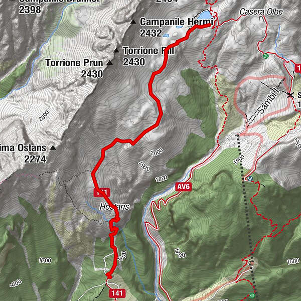
26 OLBE LAKES from the monte Ferro refuge - Sappada


© © Piller Hoffer Manuel

© © Piller Hoffer Manuel

© © Piller Hoffer Manuel - © Piller Hoffer Manuel

© © Piller Hoffer Manuel

© © Piller Hoffer Manuel - © Piller Hoffer Manuel

© © Piller Hoffer Manuel - © Piller Hoffer Manuel

© © Piller Hoffer Manuel

© © Piller Hoffer Manuel

© © Piller Hoffer Manuel

© © Piller Hoffer Manuel - © Piller Hoffer Manuel

- Rövid leírás
-
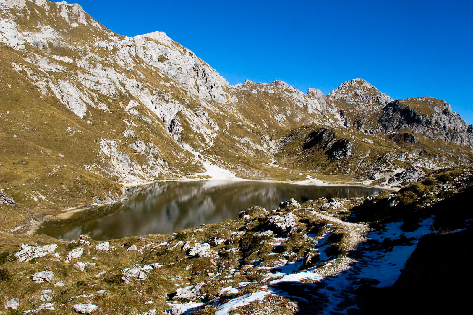
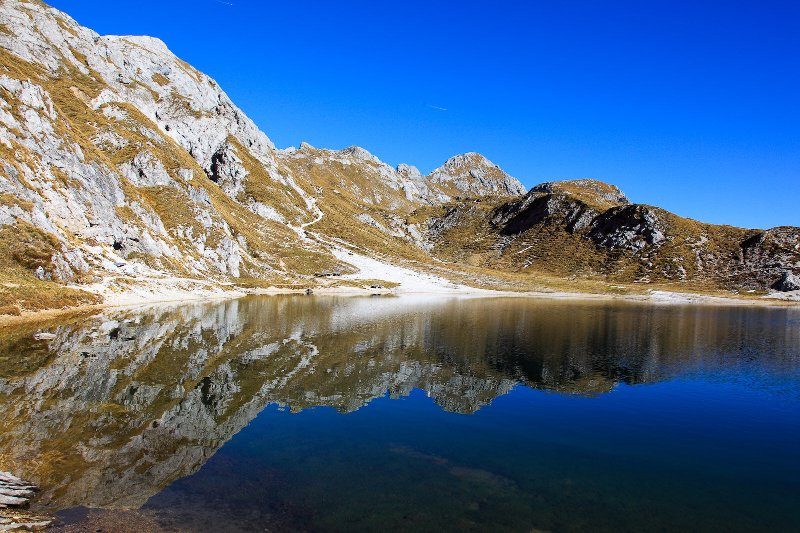
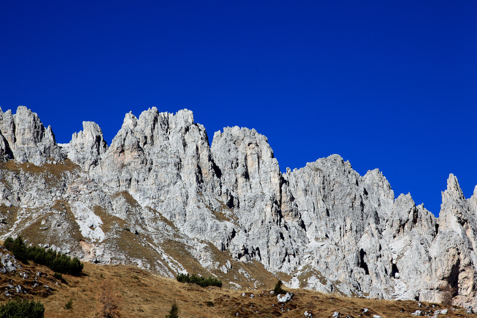
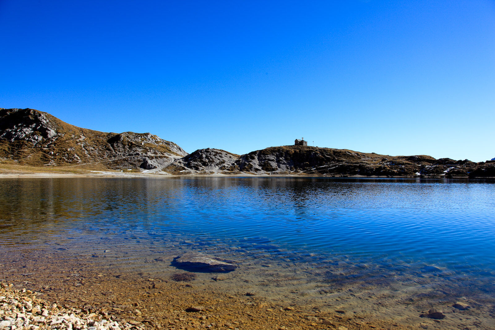
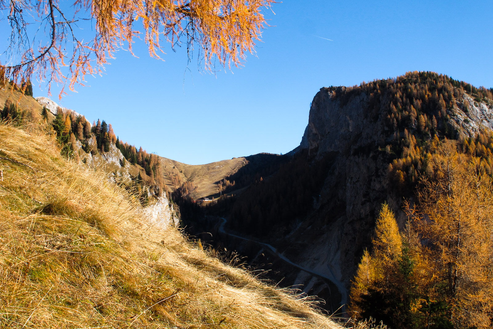
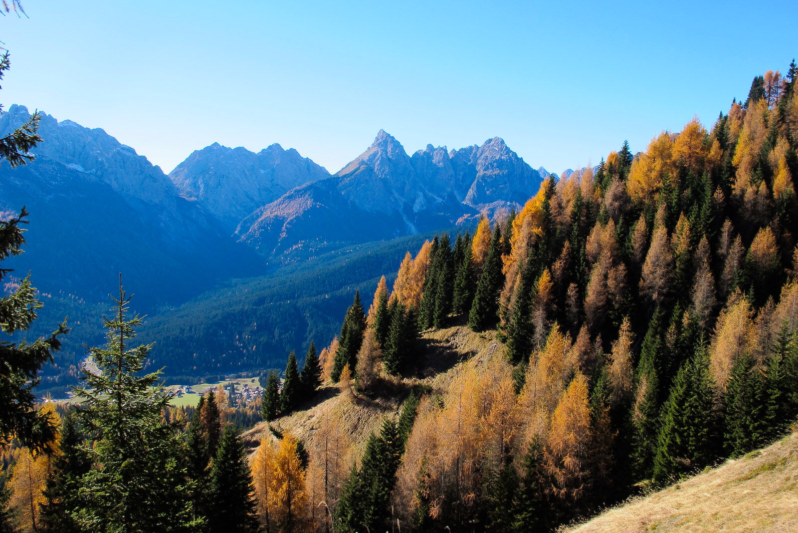
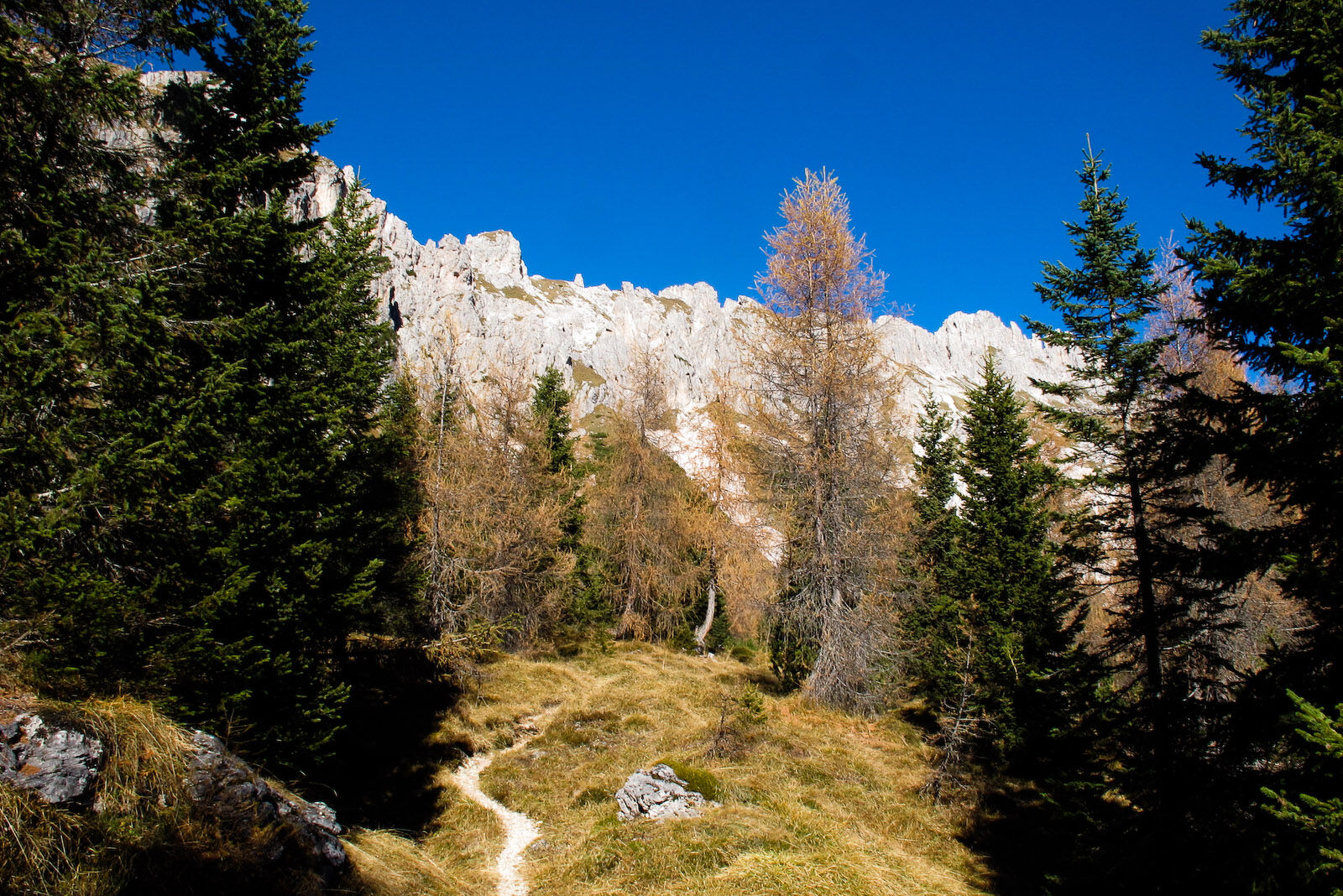
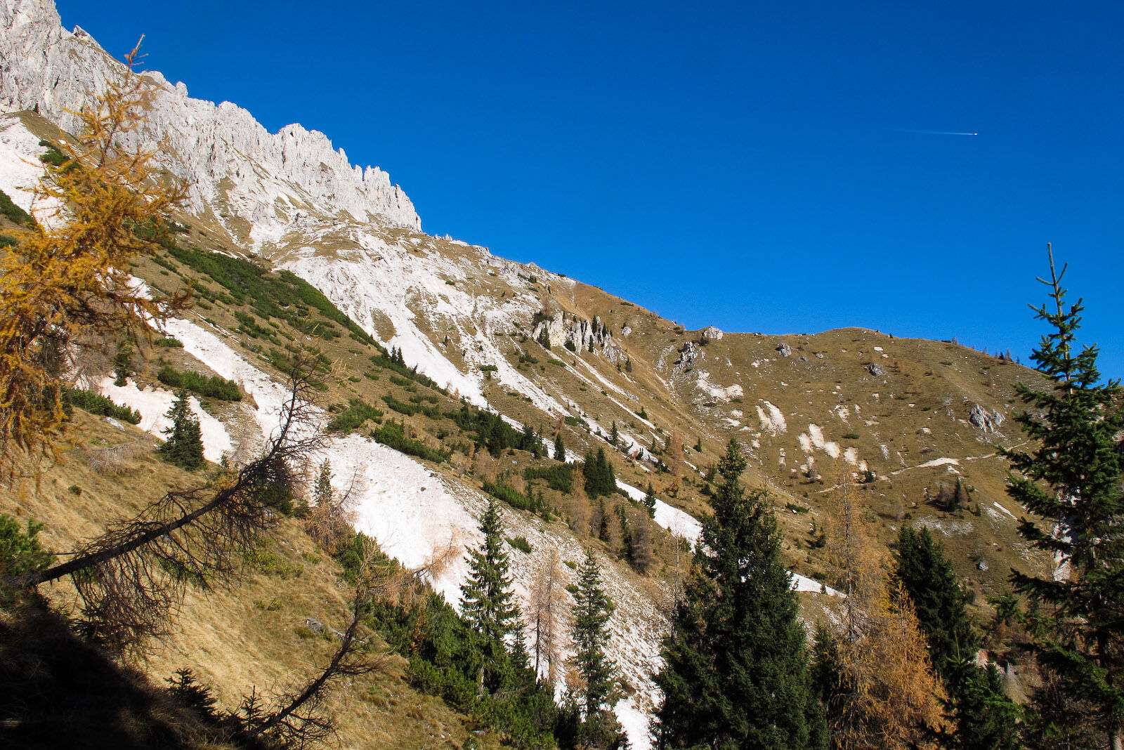
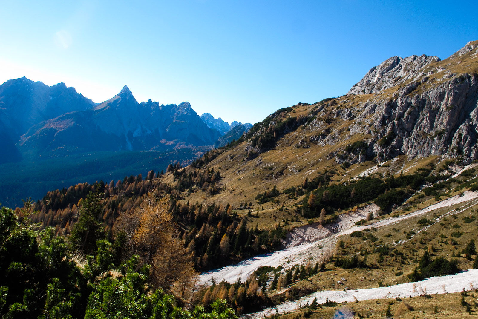
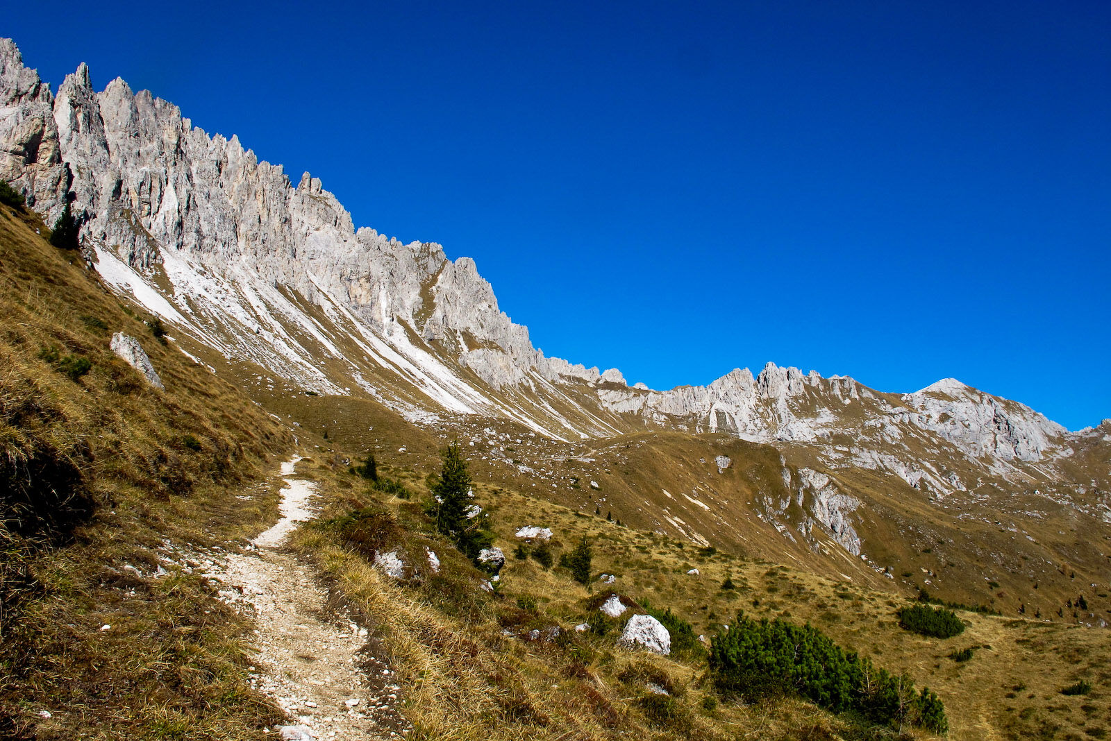
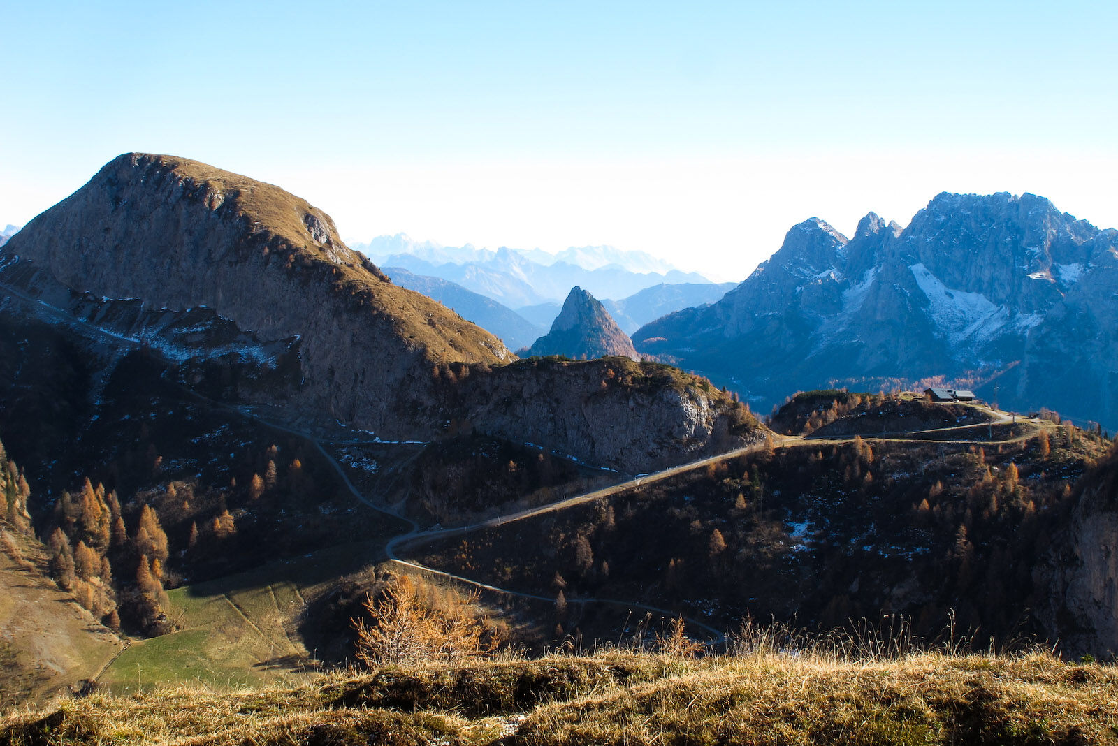
The lakes are located on the broad Olbe plateau consisting of small hillocks, large hollows and grassy terraces, under the serrated ridge of monte Righile stretching out towards monte Ferro. Their waters cover the bottom of ancient basins dating back to the last Ice Age. Of the three, the most westerly is a kind of pond, the central one is small and not very visible. The most interesting is certainly the most easterly, fairly broad and very deep, with the white pinnacles of Righile reflected in its very green waters.
- Nehézség
-
közepes
- Értékelés
-
- Útvonal
-
Hostans0,8 km
- Legjobb szezon
-
janfebrmárcáprmájjúnjúlaugszeptoktnovdec
- Legmagasabb pont
- 2.159 m
- Úti cél
-
Laghi d'Olbe
- Magassági profil
-
 © outdooractive.com

-

-
SzerzőA túra 26 OLBE LAKES from the monte Ferro refuge - Sappada a outdooractive.com feltéve, hogy.
GPS Downloads


További túrák a régiókban
-
Val Comelico - Sappada
462
-
Forni Avoltri
112