© Piller Hoffer Manuel - © Piller Hoffer Manuel

© Friuli Venezia Giulia - @Piller Hoffer Manuel

© Friuli Venezia Giulia - Giovanni Borella

© Piller Hoffer Manuel - © Piller Hoffer Manuel

© Piller Hoffer Manuel - © Piller Hoffer Manuel

© Friuli Venezia Giulia - @Piller Hoffer Manuel

© Friuli Venezia Giulia - Giovanni Borella

© Friuli Venezia Giulia - Giovanni Borella

© Friuli Venezia Giulia - Giovanni Borella


- Rövid leírás
-
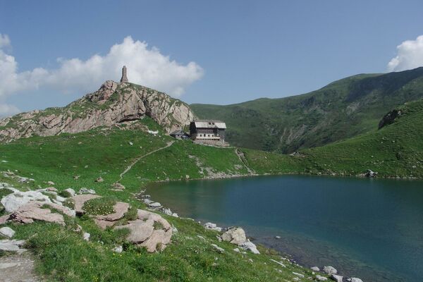
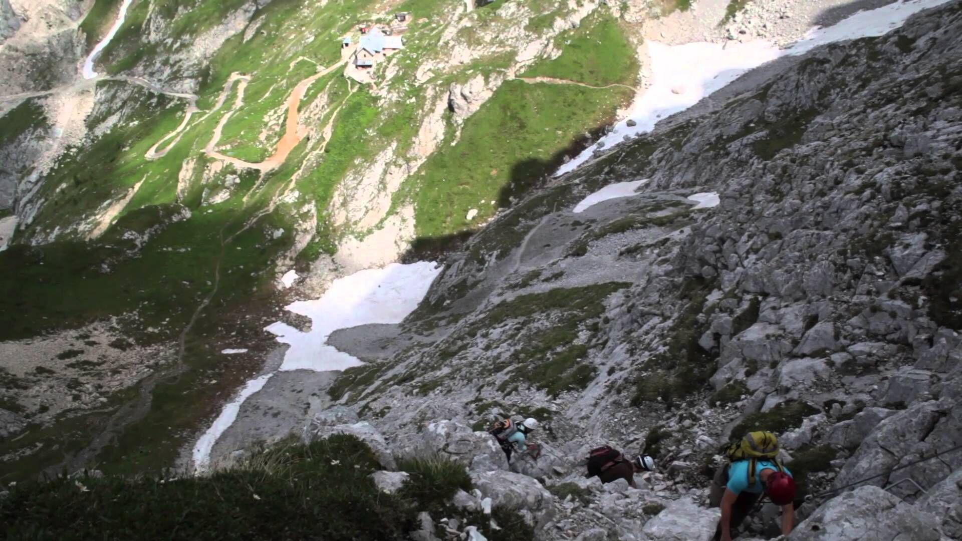
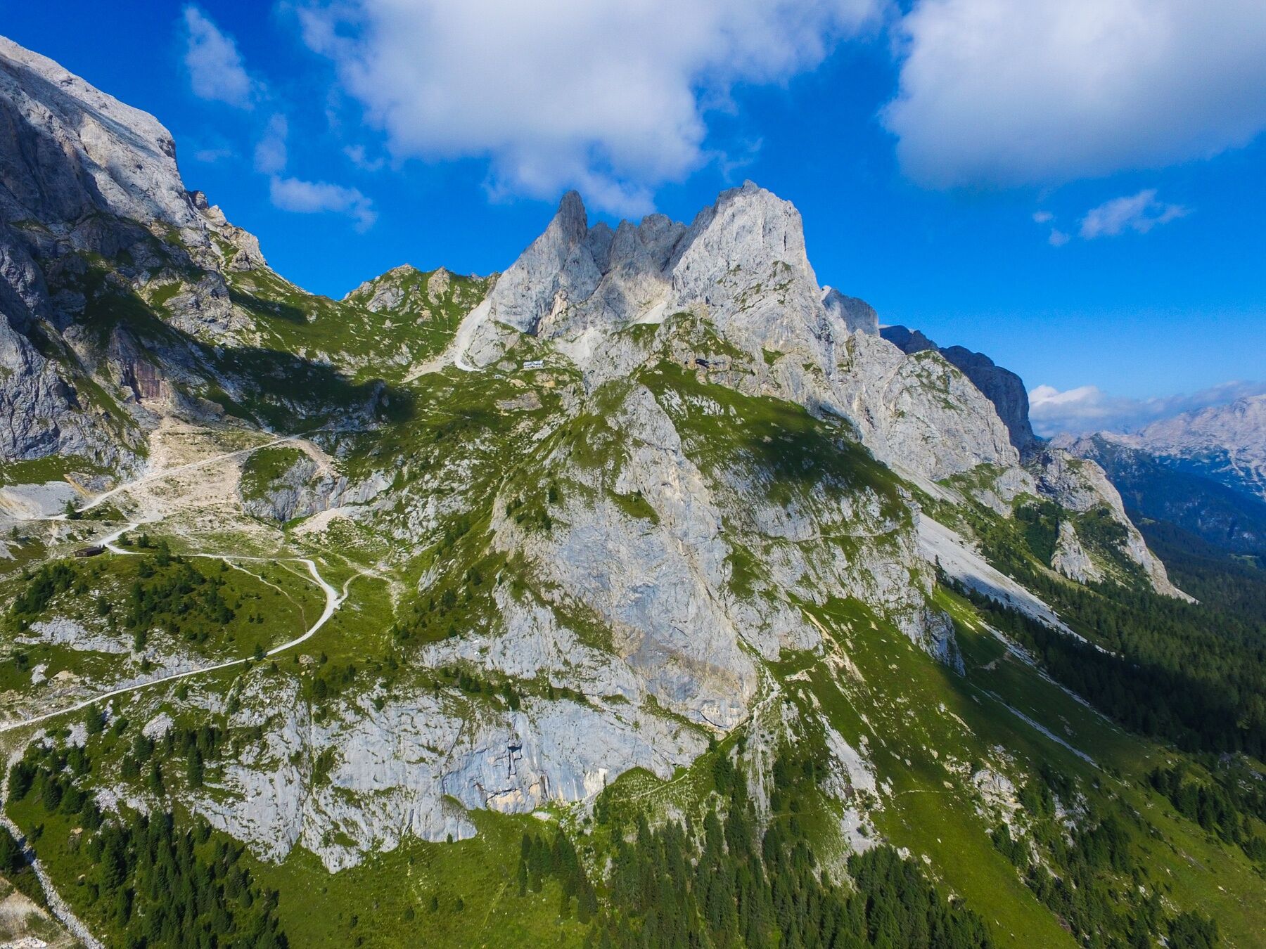
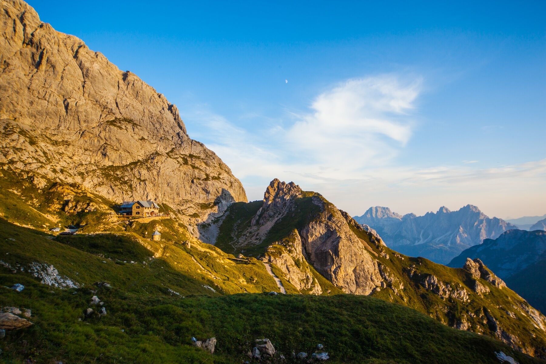
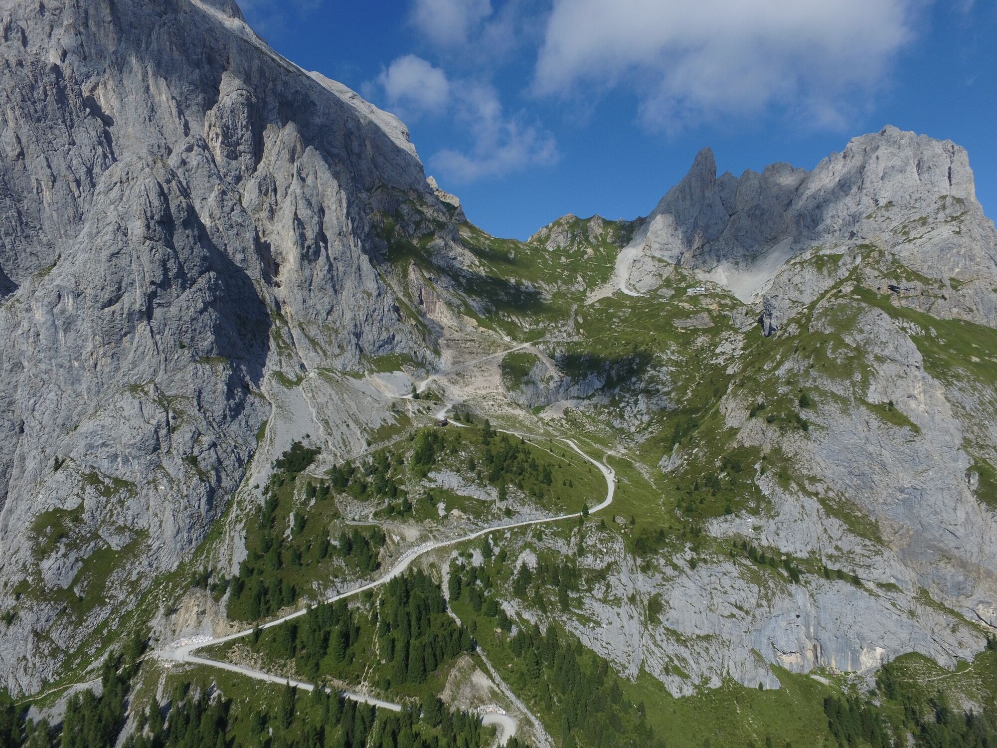
This building, owned by C.A.I. of Sappada, is dedicated to the memory of a heroic patriot from Sappada, Pier Fortunato Calvi. It is the highest shelter in the region and is located in a fantastic position: to the east it is enclosed by the splendid amphitheatres of the Chiadenis and the Pic, to the north by the impressive mass of the Peralba, and in the other direction it overlooks, like an eagle’s nest, the rocky coast running from Lastoni to the distant Rinaldo group.
- Nehézség
-
könnyű
- Értékelés
-
- Útvonal
-
Rifugio Pier Fortunato Calvi2,0 km
- Legjobb szezon
-
janfebrmárcáprmájjúnjúlaugszeptoktnovdec
- Legmagasabb pont
- 2.130 m
- Úti cél
-
Rifugio Calvi
- Magassági profil
-
 © outdooractive.com


-

-
SzerzőA túra 24 RIFUGIO CALVI - Sappada a outdooractive.com feltéve, hogy.
GPS Downloads


Általános információ
Frissítő megálló
Bennfentes tipp
Ígéretes
További túrák a régiókban