© TD Bohinjska Bela
© TD Bohinjska Bela
© TD Bohinjska Bela
© TD Bohinjska Bela
© TD Bohinjska Bela


- Rövid leírás
-
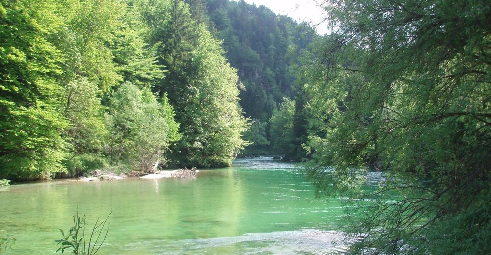
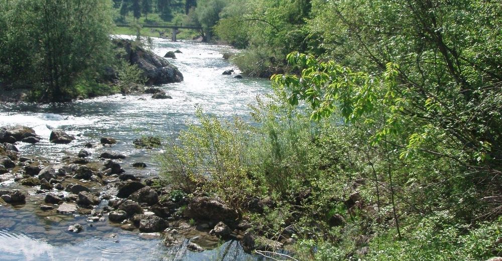
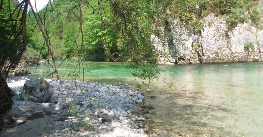
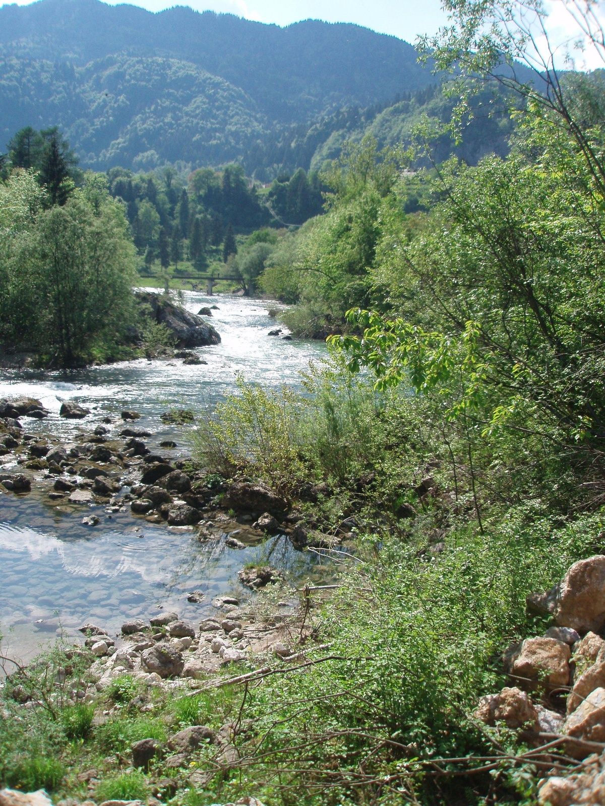
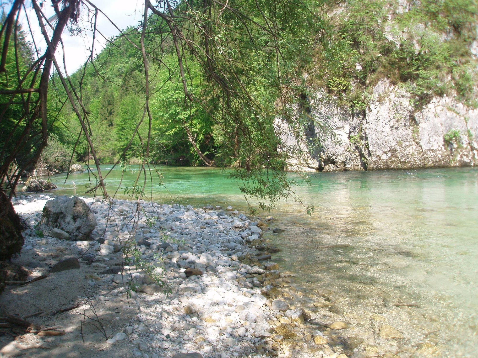
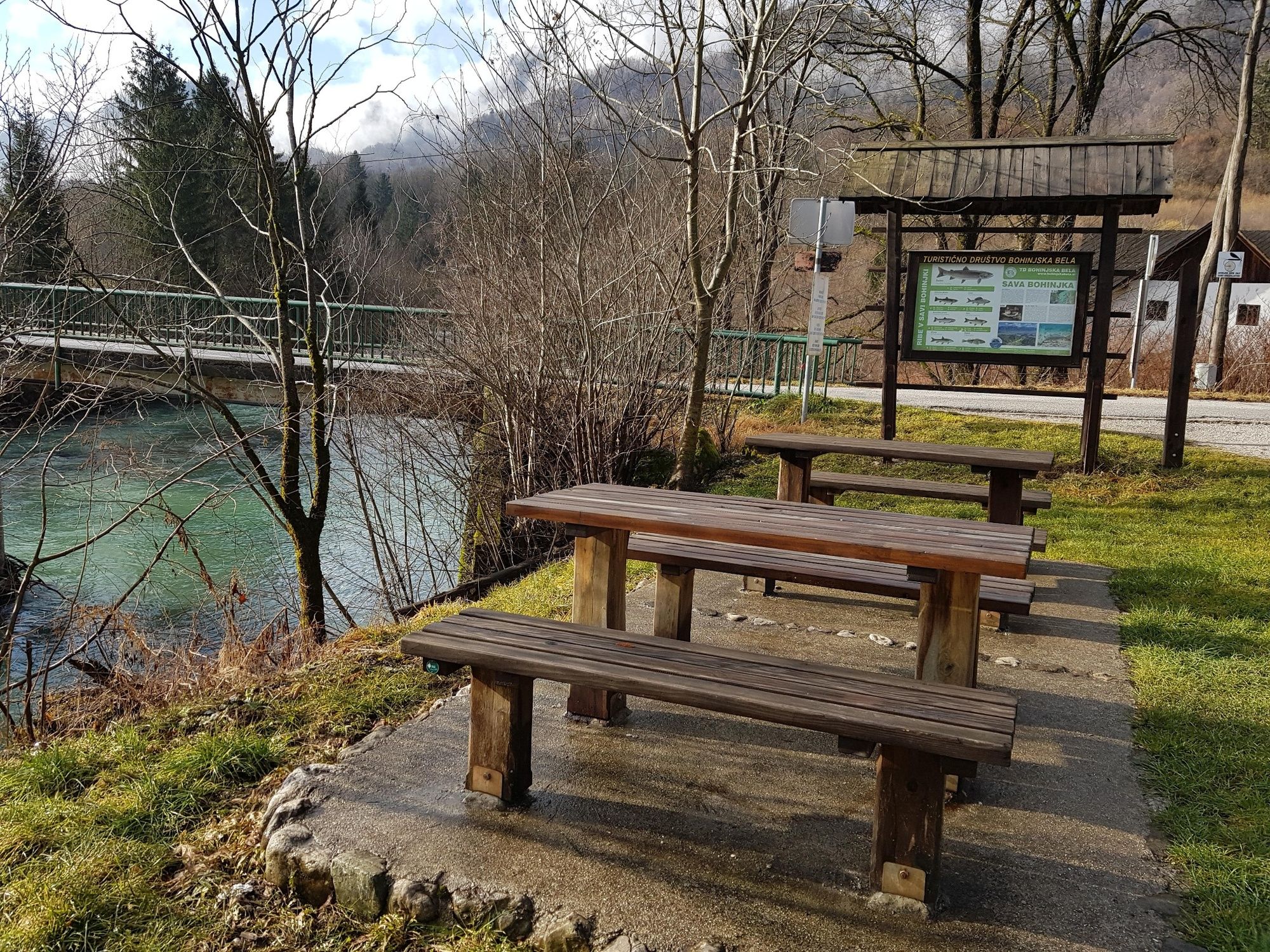
This is an easy walking path and combines two different aspects of the trail. The first part follows the Roja brook, and the second part follows the stream of the Sava Bohinjka River across the meadows in unspoiled nature.
- Nehézség
-
könnyű
- Értékelés
-
- Útvonal
-
Bohinjska Bela3,1 km
- Legjobb szezon
-
janfebrmárcáprmájjúnjúlaugszeptoktnovdec
- Legmagasabb pont
- 483 m
- Úti cél
-
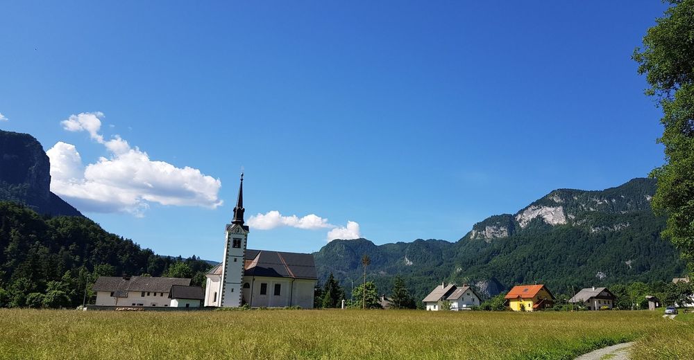
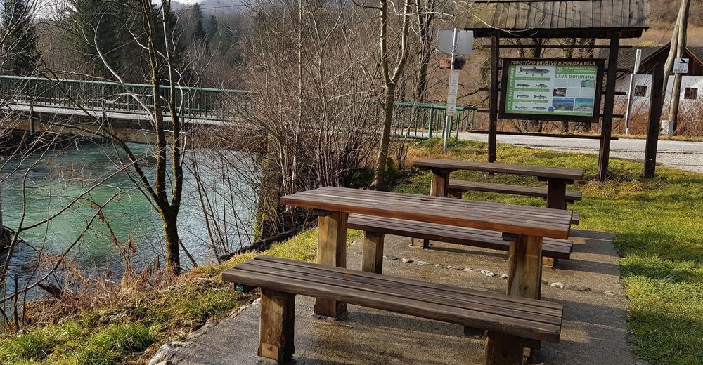
Heart of the village of Bohinjska Bela (488m).
- Magassági profil
-
 © outdooractive.com


- Szerző
-
A túra Podroje – along the Sava River a outdooractive.com feltéve, hogy.
GPS Downloads


Általános információ
Gyógyító éghajlat
Flora
Fauna
Ígéretes
További túrák a régiókban
-
Wörthersee - Rosental
1949
-
Gorenjska
141
-
Bled
209