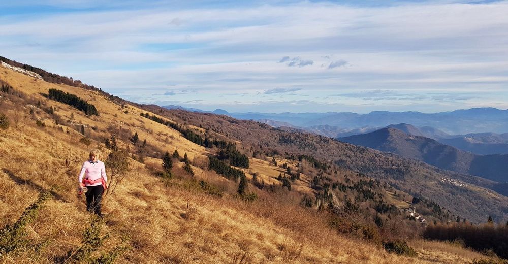
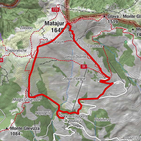
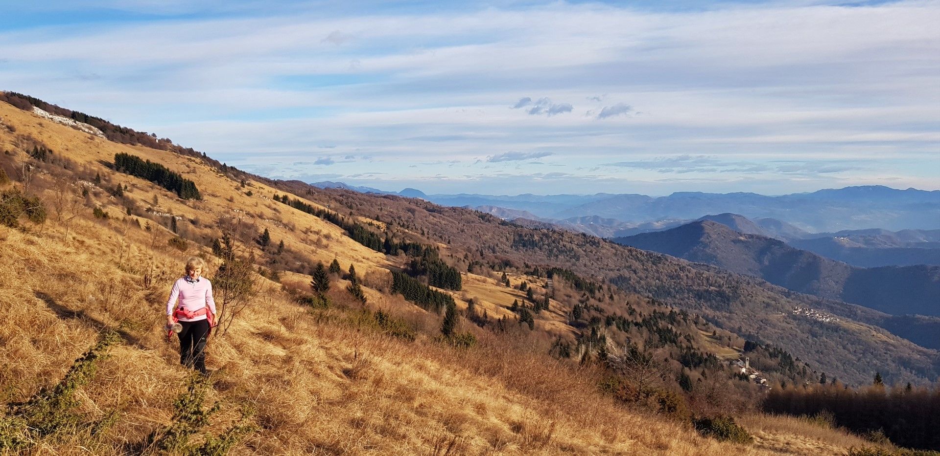
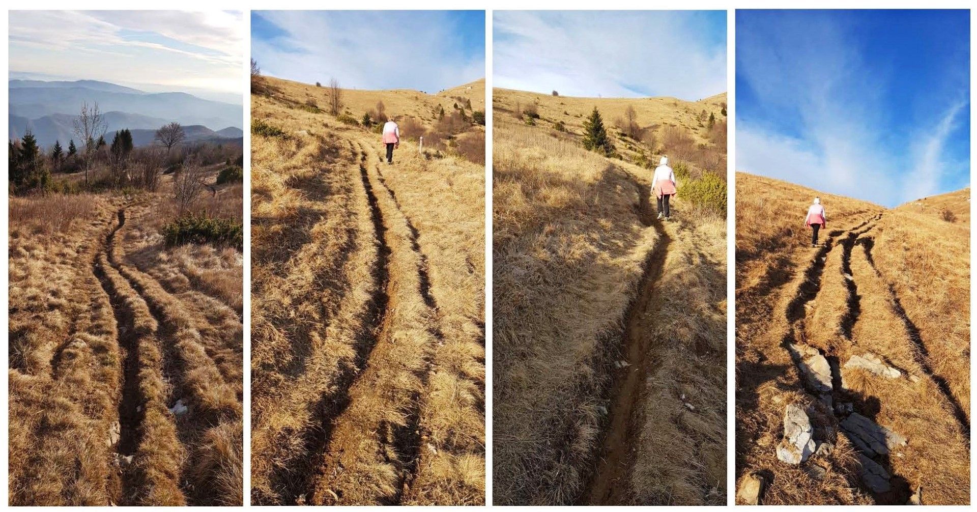
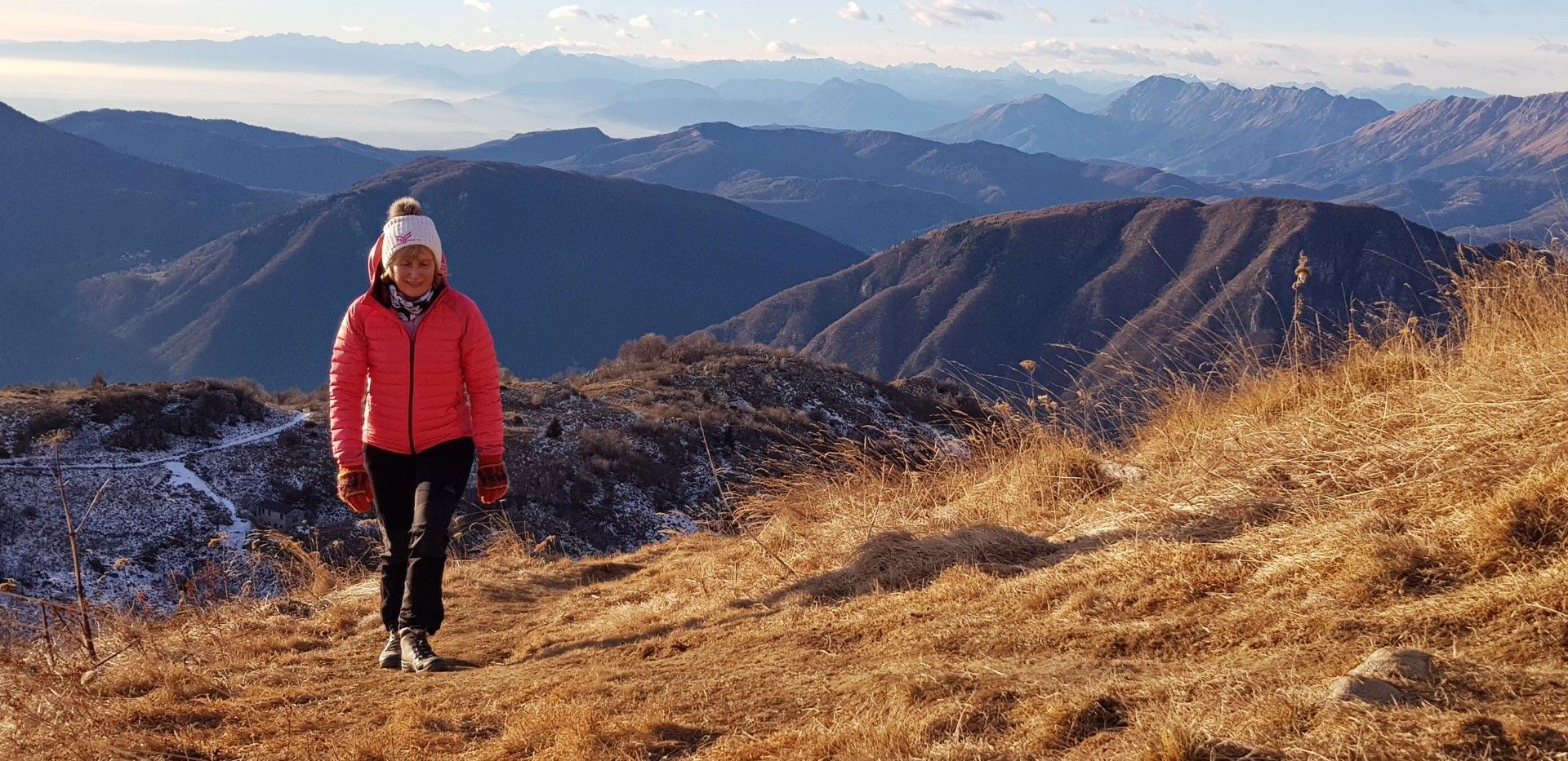
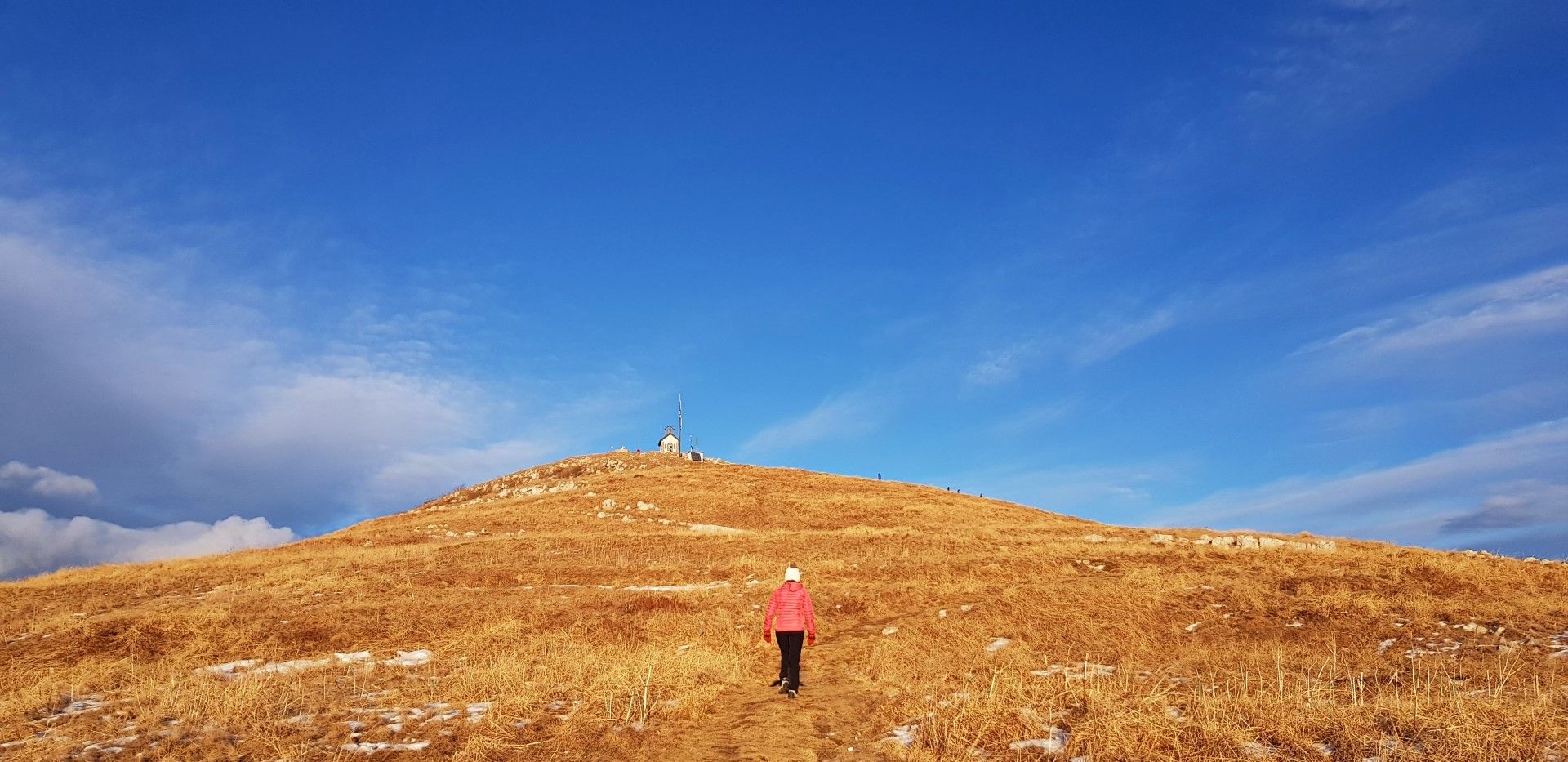
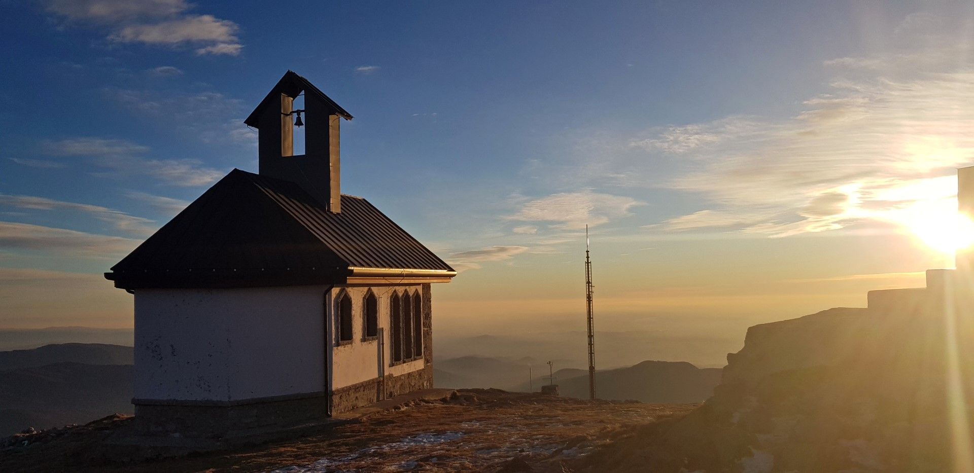
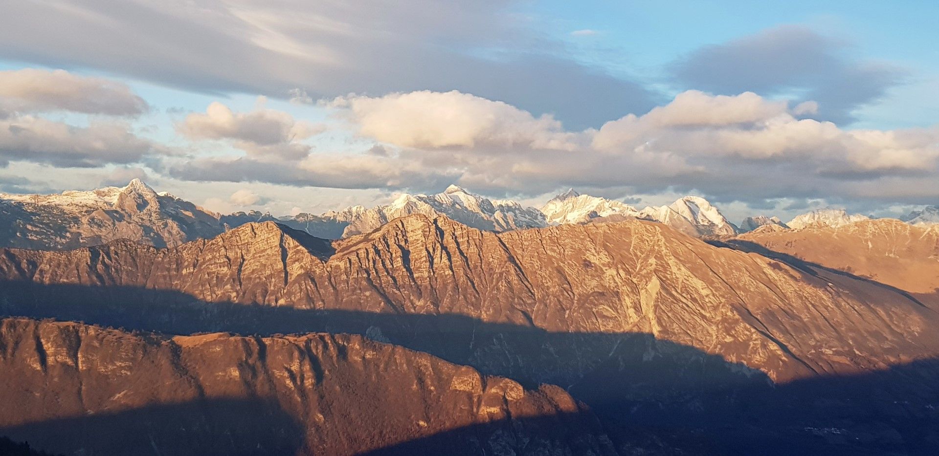
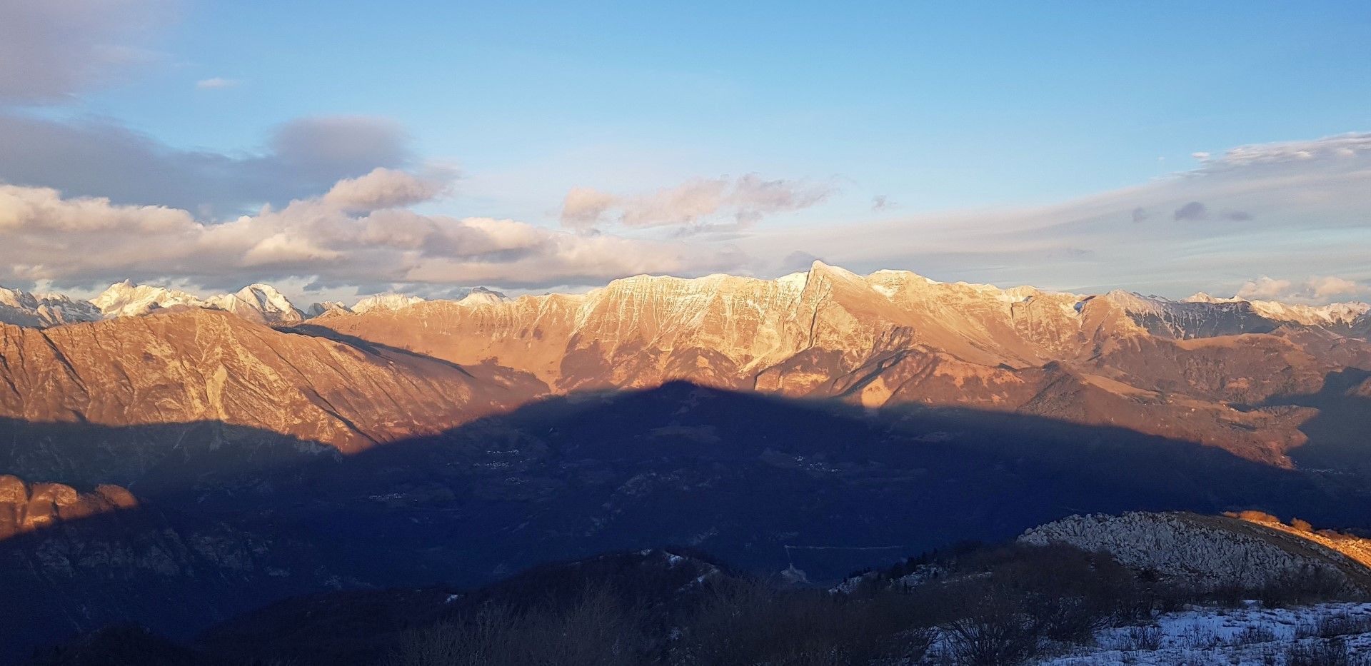
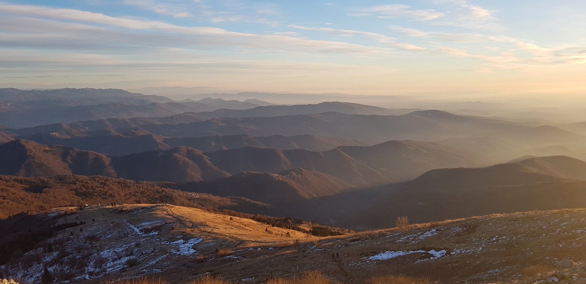
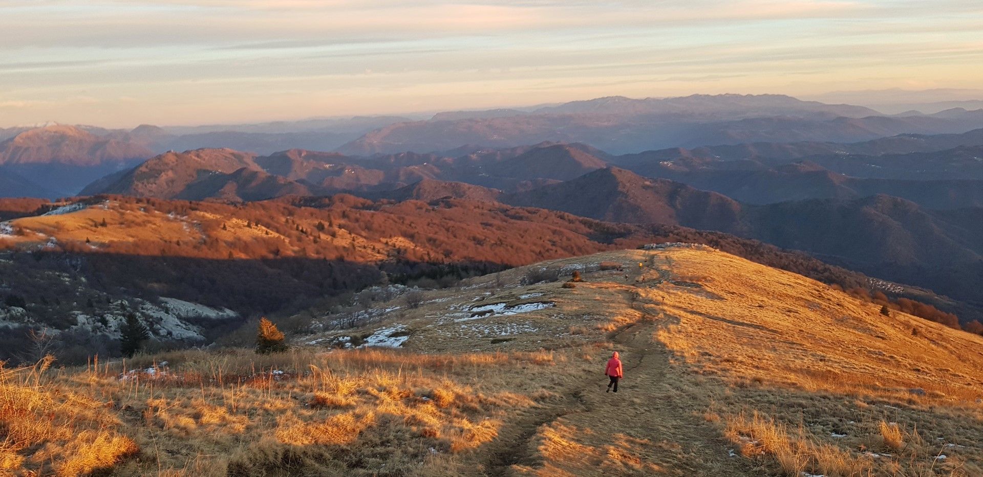
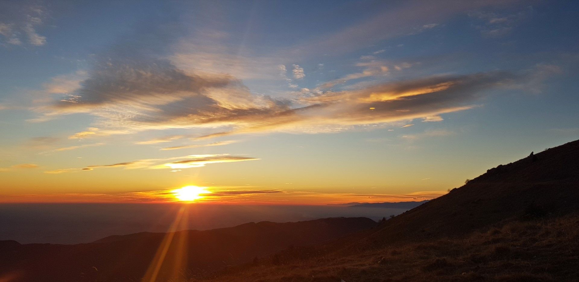
Mt. Matajur (1642 m), a pleasant ascent from the Italian side of the mountain

Kirándulás
© Turizem Dolina Soce - Janko Humar

© Turizem Dolina Soce - Janko Humar

© Turizem Dolina Soce - Janko Humar

© Turizem Dolina Soce - Janko Humar

© Turizem Dolina Soce - Janko Humar

© Turizem Dolina Soce - Janko Humar

© Turizem Dolina Soce - Janko Humar

© Turizem Dolina Soce - Janko Humar

© Turizem Dolina Soce - Janko Humar

© Turizem Dolina Soce - Janko Humar

- Rövid leírás
-
The ascent to Mt. Matajur from the village with the same name (Matajur (Montemaggiore)) located at the Italian side of the mountain is the most comfortable circular tour leading to the top of this exceptional subalpine sightseeing hill.
- Nehézség
-
közepes
- Értékelés
-
- Útvonal
-
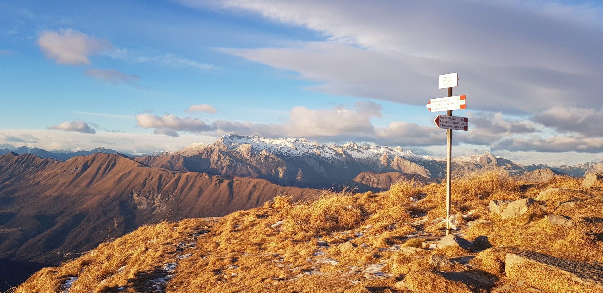
Dom na Matajure2,2 kmMatajur (1.645 m)2,7 km
- Legjobb szezon
-
janfebrmárcáprmájjúnjúlaugszeptoktnovdec
- Legmagasabb pont
- 1.624 m
- Úti cél
-
Village of Matajur/Montemaggiore
- Magassági profil
-
 © outdooractive.com

-

-
SzerzőA túra Mt. Matajur (1642 m), a pleasant ascent from the Italian side of the mountain a outdooractive.com feltéve, hogy.
GPS Downloads


Általános információ
Ígéretes
További túrák a régiókban
-
Cividale / Natisone-Täler
192
-
Kobarid
117