© Tourismus Zentrale Saarland, Marcus Gloger

© Tourismus Zentrale Saarland, Marcus Gloger

© Entdeckungen auf dem Kirkeler Felsenpfad

© Tourismus Zentrale Saarland, Marcus Gloger

© Tourismus Zentrale Saarland, Frank Polotzek

© Tourismus Zentrale Saarland, Frank Polotzek

© Tourismus Zentrale Saarland, Klaus-Peter Kappest

© Saarpfalz-Touristik, Eike Dubois

© Saarpfalz-Touristik, Eike Dubois

© © Saarpfalz-Touristik, PhormatWerbeagentur EikeDubois

- Rövid leírás
-
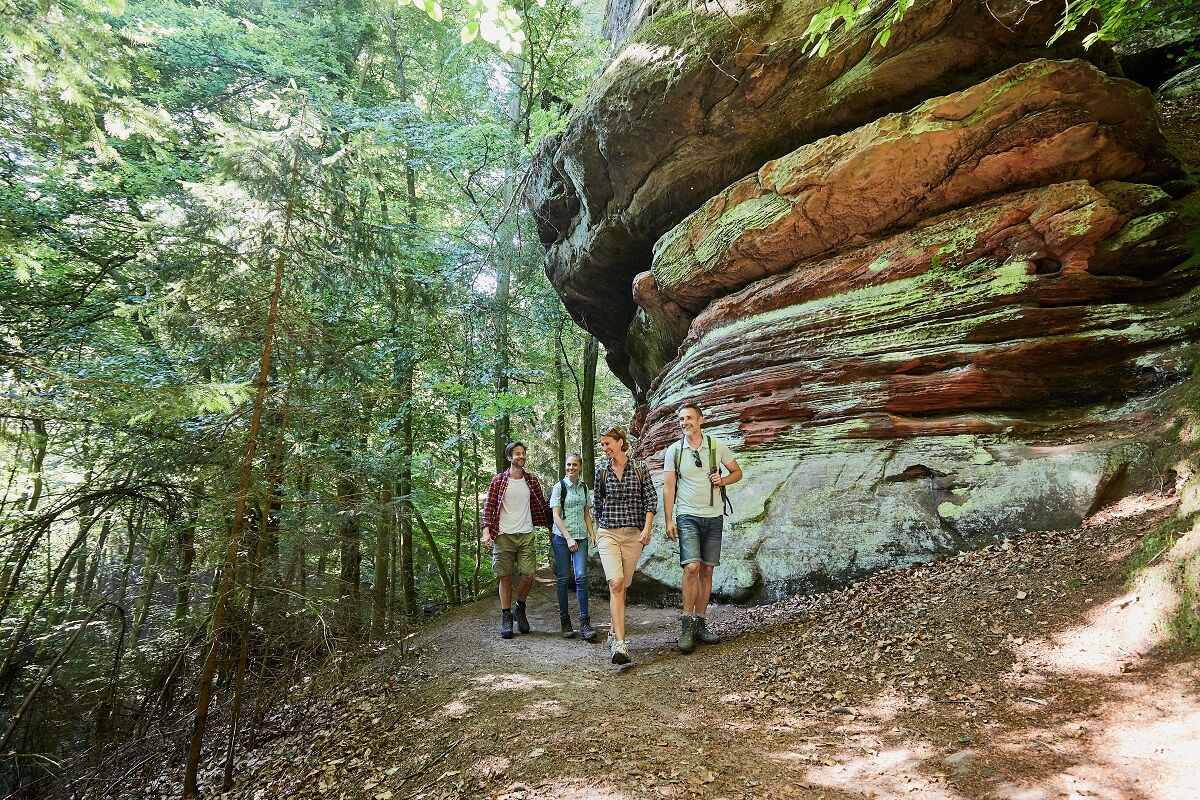
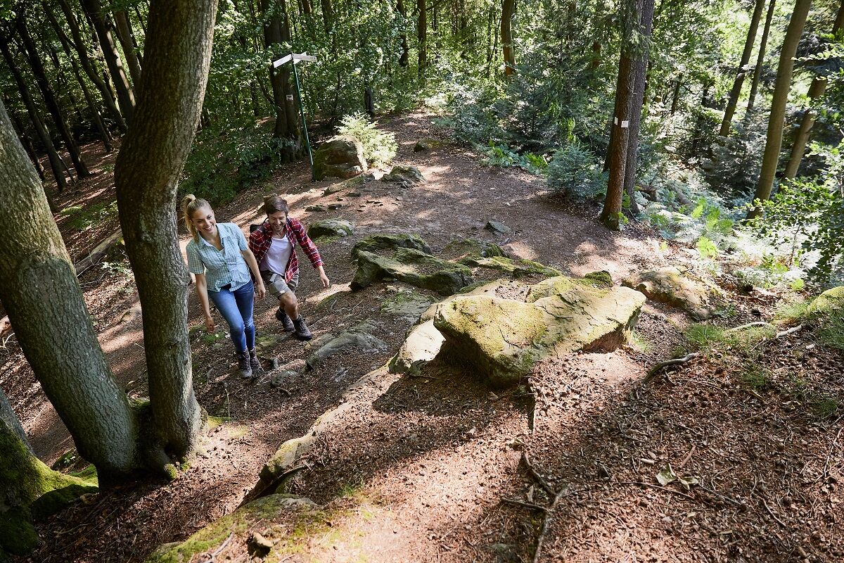
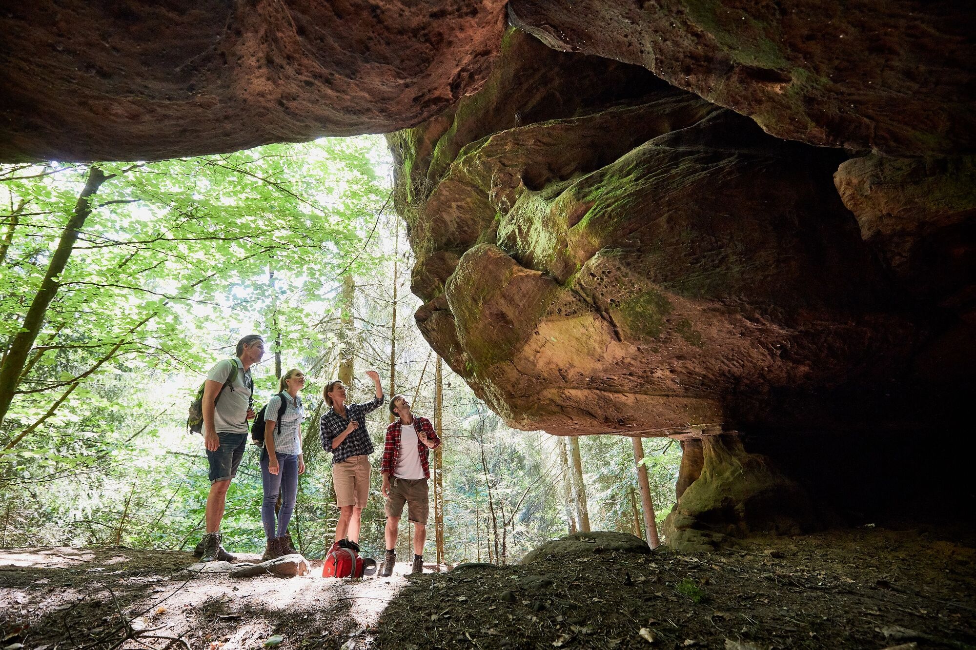
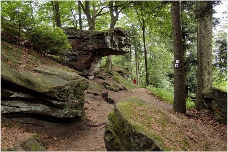
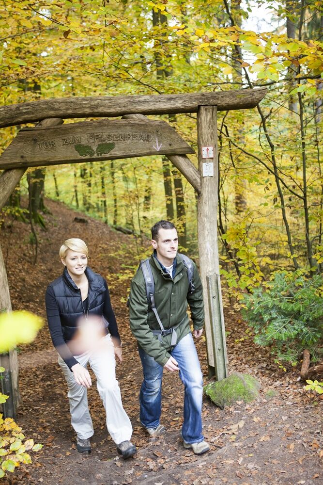
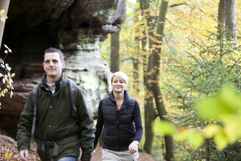
This trail will take you through one of the Saarland’s biggest woodlands. Kilometer after kilometer of meandering paths invite you on a spectacular hike in the forest. There will be banks of mottled sandstone on the way as well as caves. You’ll also see the mysterious Frauenbrunnen well that has been used as a ceremonial site since Celtic times.
- Nehézség
-
közepes
- Értékelés
-
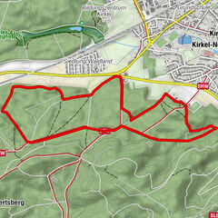
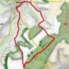
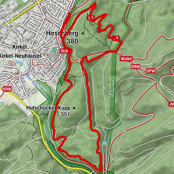
- Útvonal
-
Kirkel (240 m)0,4 kmKirkel (240 m)8,0 km
- Legjobb szezon
-
janfebrmárcáprmájjúnjúlaugszeptoktnovdec
- Legmagasabb pont
- 352 m
- Úti cél
-
Wanderparkplatz am Naturfreundehaus; Limbacher Weg, 66459 Kirkel-Neuhäusel
- Magassági profil
-
 © outdooractive.com


- Szerző
-
A túra `Kirkeler Tafeltour´ a outdooractive.com feltéve, hogy.
GPS Downloads


Általános információ
Frissítő megálló
Kulturális/Történelmi
További túrák a régiókban