© Chur - Die Alpenstadt - Michael Christ
© Chur - Die Alpenstadt - Kevin Sutter
© Chur - Die Alpenstadt - Karin Bächer

© Chur - Die Alpenstadt - Michael Christ
© Markus Bühler - Michael Christ

© Chur - Die Alpenstadt - Michael Christ
© Chur - Die Alpenstadt - Michael Christ
© Chur - Die Alpenstadt - Kevin's Fotografie

- Rövid leírás
-
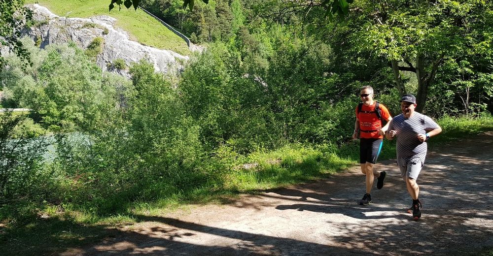
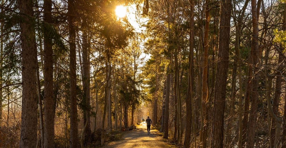
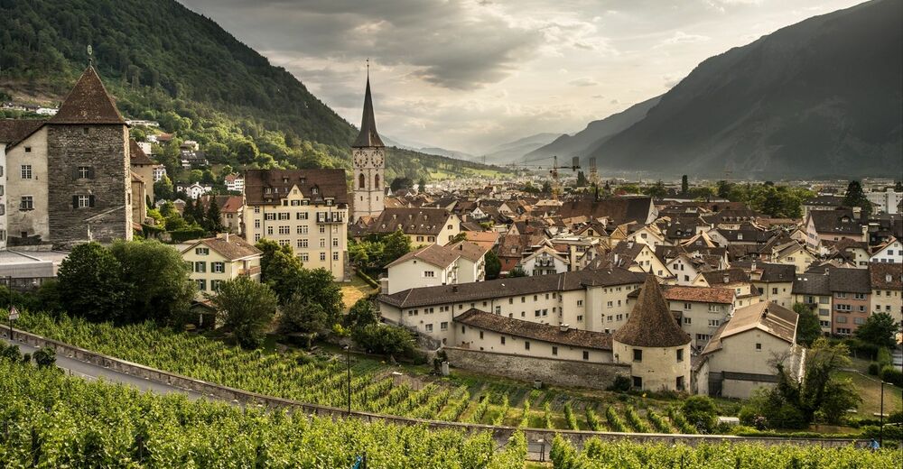
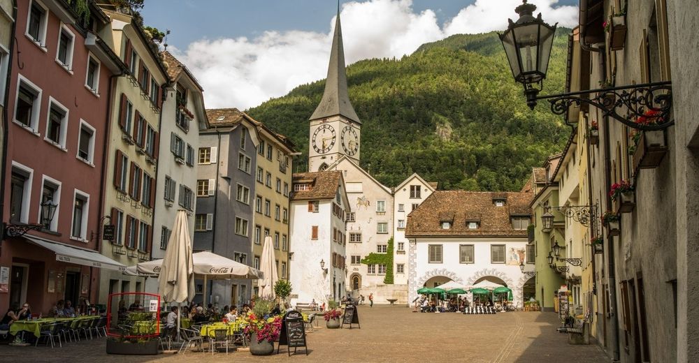
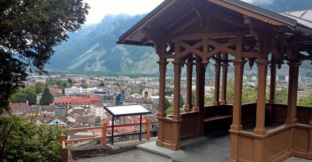
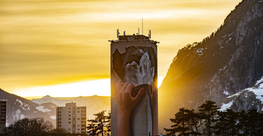
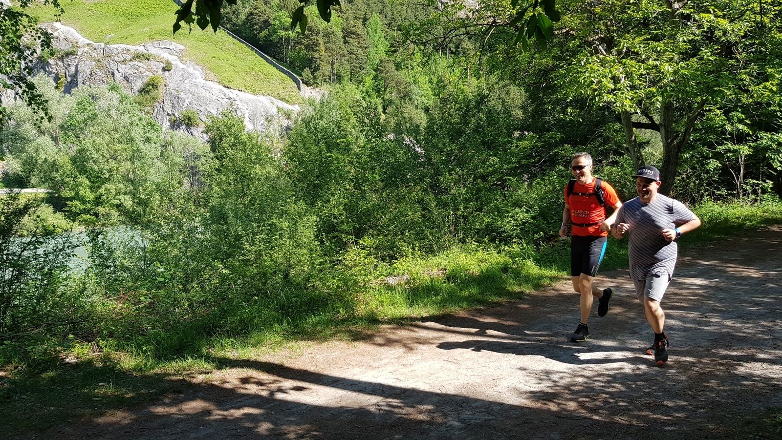
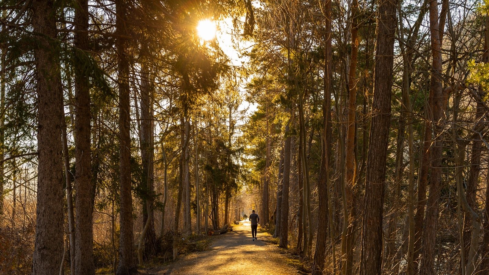
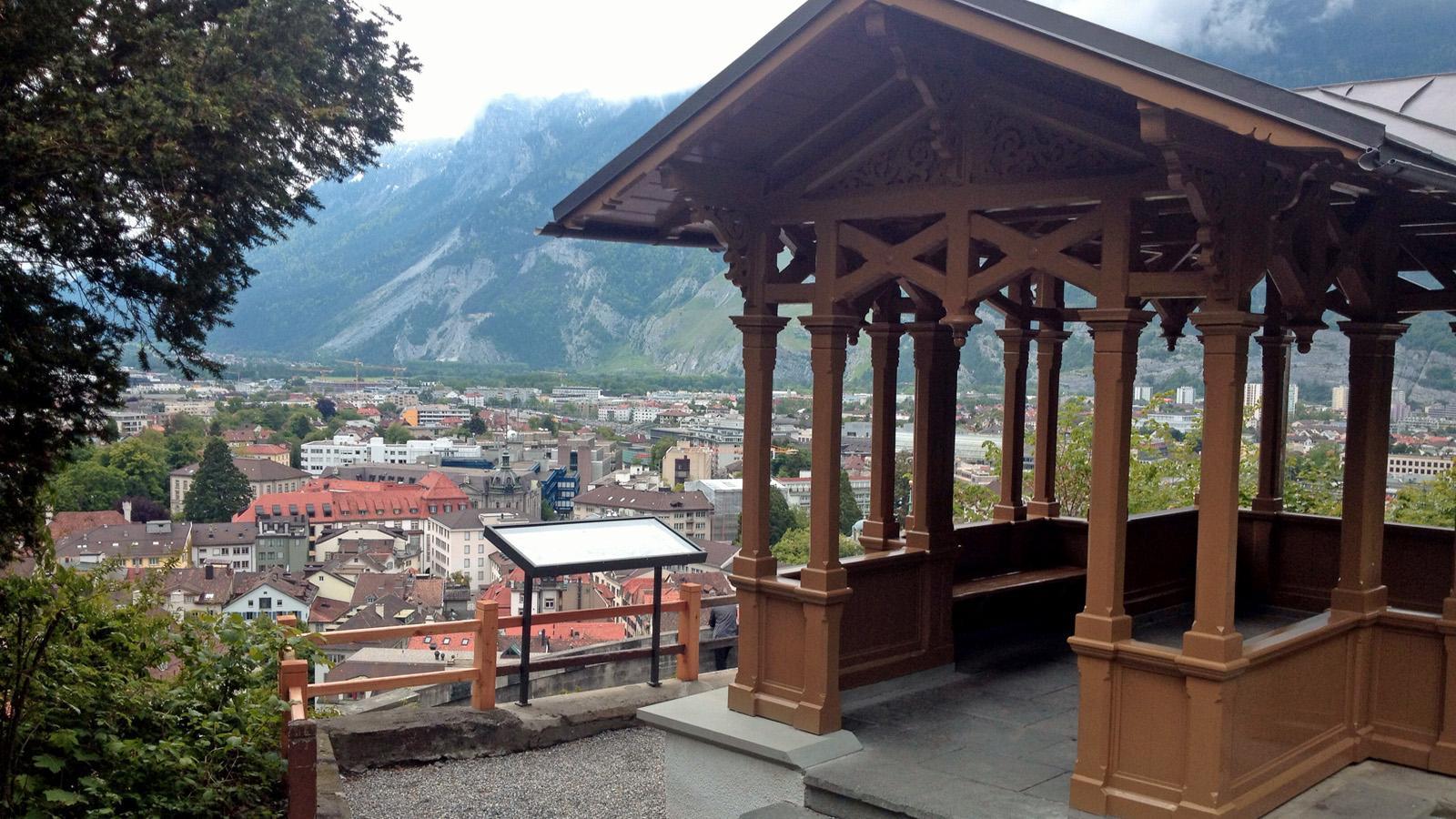
Extensive jogging tour around the Alpine City of Chur along beautiful forest paths and the banks of the Rhine, with a detour through the old town.
- Nehézség
-
nehéz
- Értékelés
-
- Útvonal
-
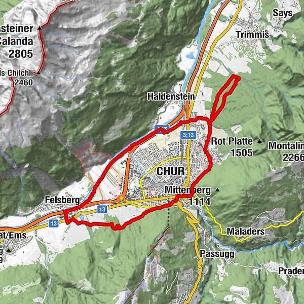
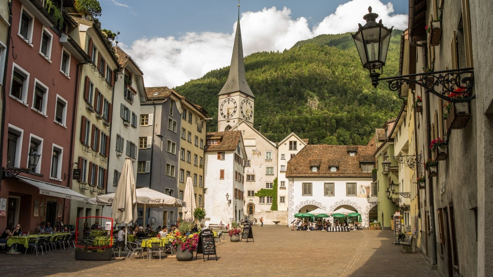
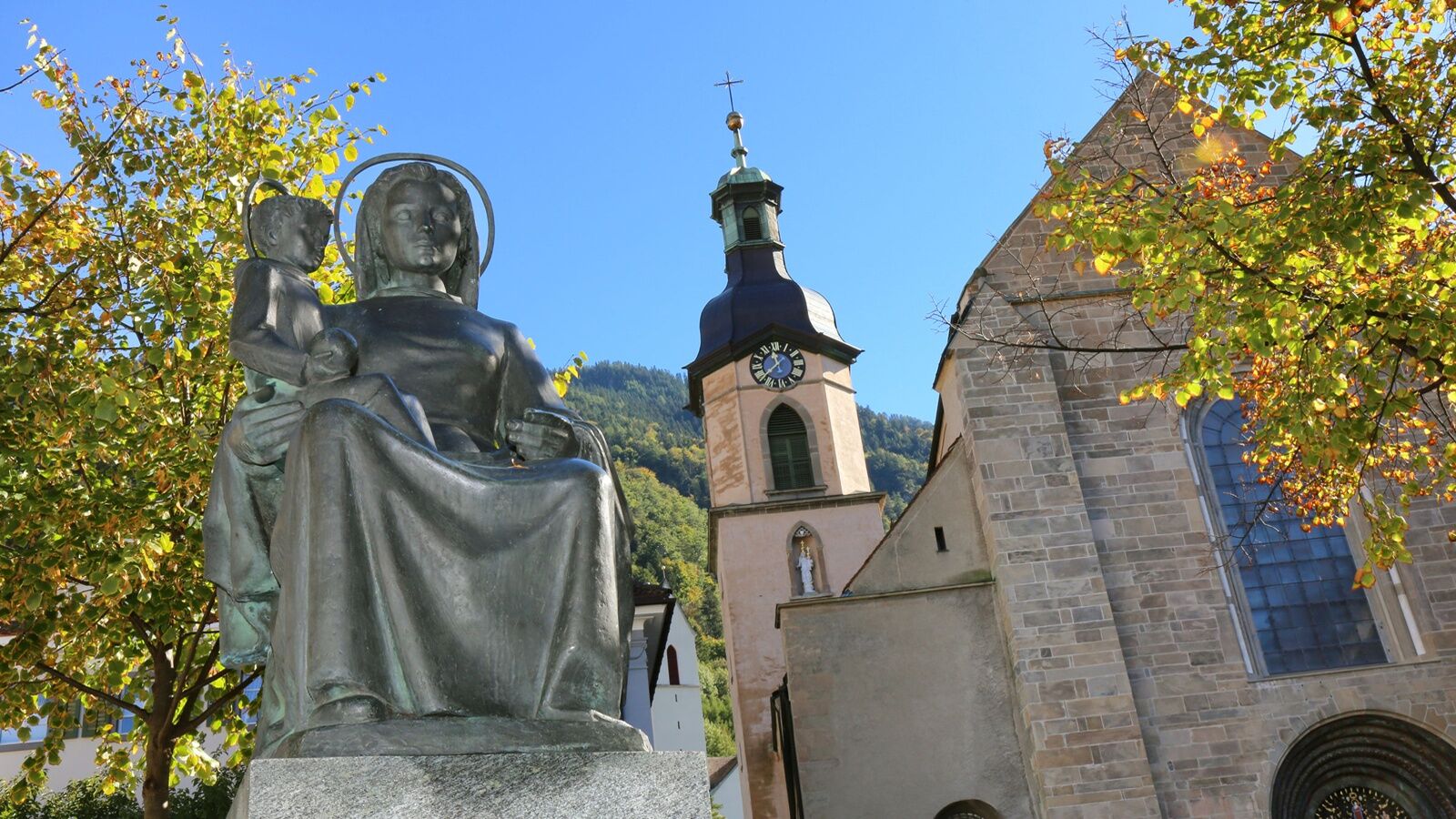
Chur (593 m)0,0 kmMartinskirche0,3 kmMasans8,4 kmFelsberg (572 m)14,2 kmKornquader18,5 kmRosenhhügel19,2 kmFriedenskirche19,4 km
- Legjobb szezon
-
janfebrmárcáprmájjúnjúlaugszeptoktnovdec
- Legmagasabb pont
- 735 m
- Úti cél
-
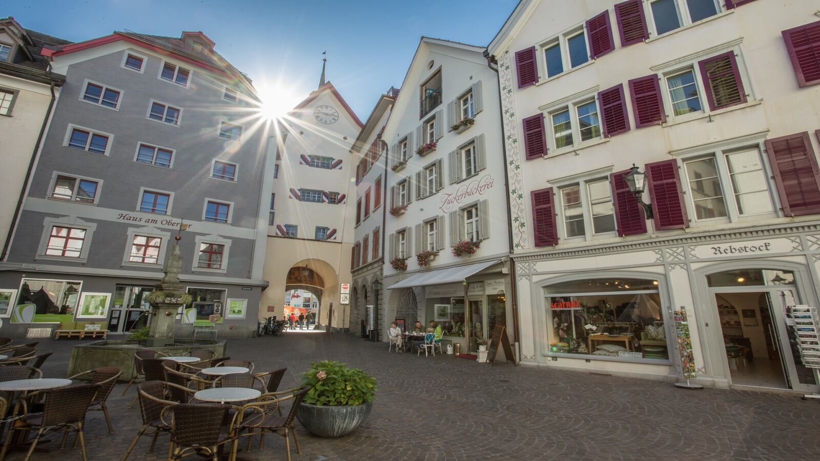
Obertor, Chur
- Magassági profil
-
 © outdooractive.com

-

-
SzerzőA túra Alpine City Trail a outdooractive.com feltéve, hogy.
GPS Downloads


Általános információ
Frissítő megálló
Kulturális/Történelmi
Ígéretes
További túrák a régiókban
-
Heidiland
49
-
Chur und Rheintal
12
-
Chur
4