
- Rövid leírás
-
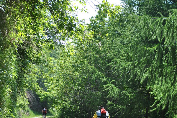
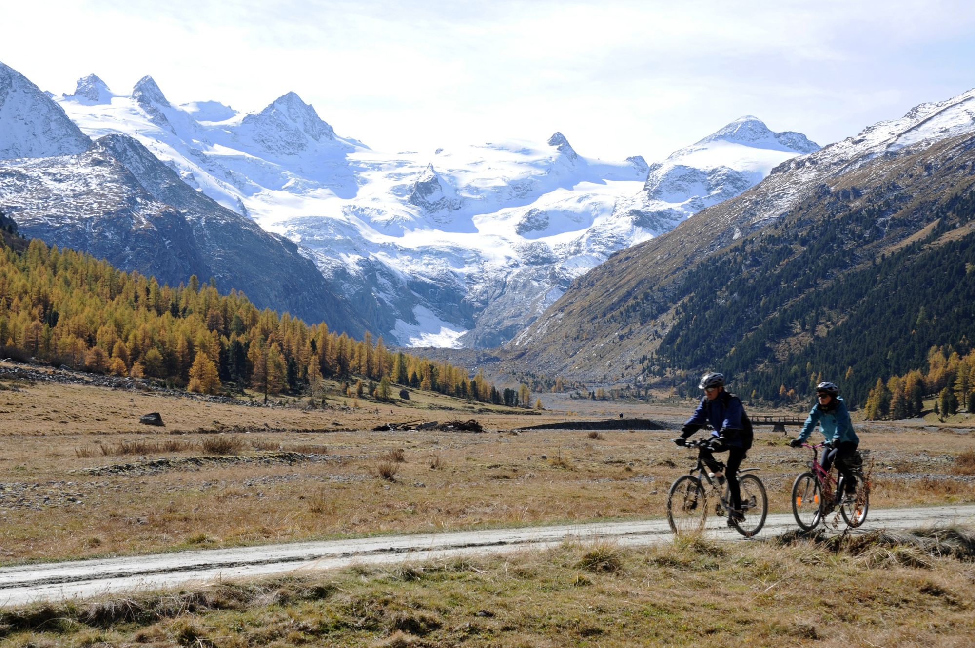
Not only is the Val Roseg regarded as one of the most beautiful side valleys in the Engadin, it is also easily accessible - either on foot or by mountain bike.
- Nehézség
-
könnyű
- Értékelés
-
- Útvonal
-
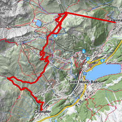
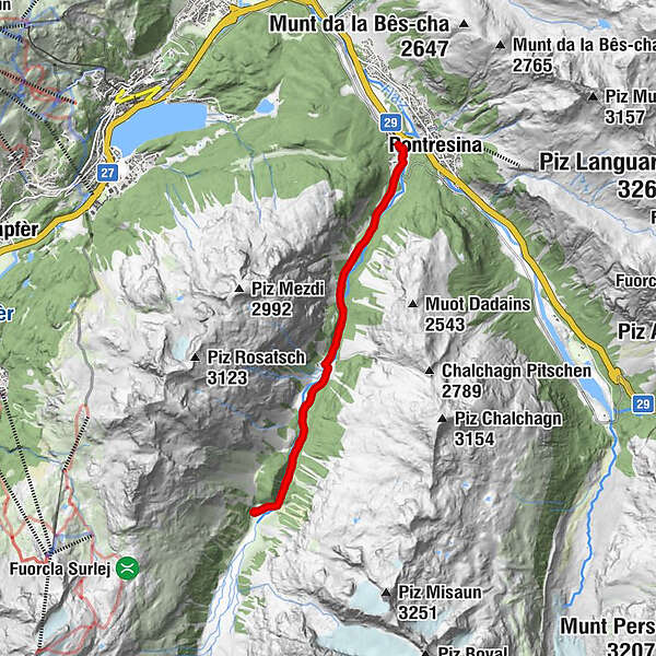
Pontresina (1.774 m)0,0 kmHotel Restaurant Roseg Gletscher6,8 kmPontresina (1.774 m)13,8 km
- Legjobb szezon
-
janfebrmárcáprmájjúnjúlaugszeptoktnovdec
- Legmagasabb pont
- 2.001 m
- Úti cél
-
Pontresina, railway station
- Magassági profil
-
 © outdooractive.com


- Szerző
-
A túra Pontresina - Val Roseg - Pontresina a outdooractive.com feltéve, hogy.
GPS Downloads


Általános információ
Frissítő megálló
Ígéretes
További túrák a régiókban
-
Veltlin / Valtellina
204
-
Engadin St. Moritz
171
-
Pontresina
85