Cycling from Saint-Germain-en-Laye to Versailles

Biciklizés

© Unbekannt - OTI Saint Germain Boucles de Seine

© Unbekannt - OTI Saint Germain Boucles de Seine

© Unbekannt - OTI Saint Germain Boucles de Seine

© Unbekannt - OTI Saint Germain Boucles de Seine

© Unbekannt - OTI Saint Germain Boucles de Seine

© Unbekannt - OTI Saint Germain Boucles de Seine

© Unbekannt - OTI Saint Germain Boucles de Seine

© Unbekannt - OTI Saint Germain Boucles de Seine

© Unbekannt - OTI Saint Germain Boucles de Seine

© Unbekannt - OTI Saint Germain Boucles de Seine
- Rövid leírás
-
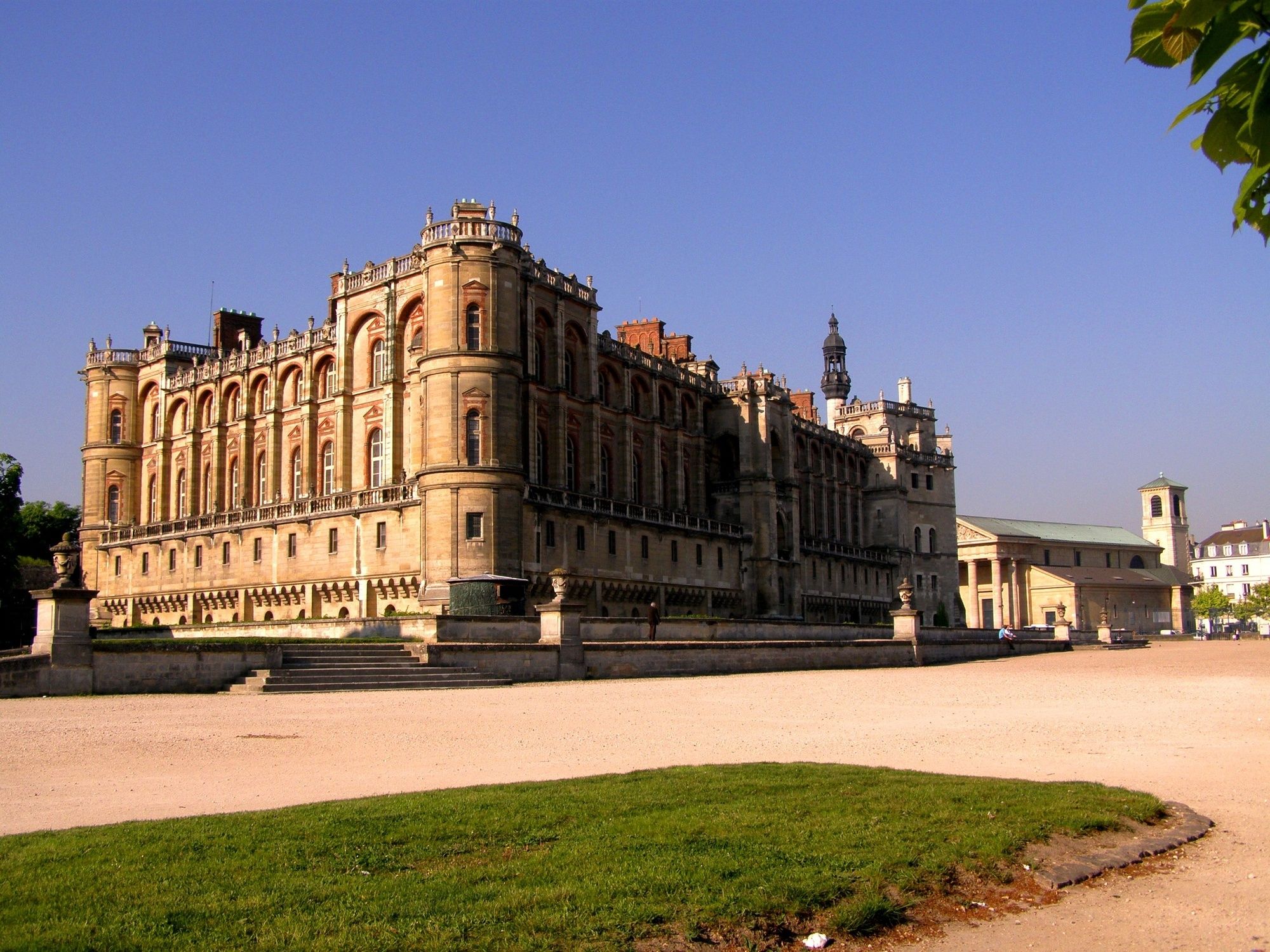
Travel back in time, kilometre by kilometre, with the story of Louis XIV, from birth to death.
- Nehézség
-
közepes
- Értékelés
-
- Útvonal
-
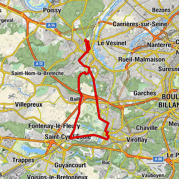
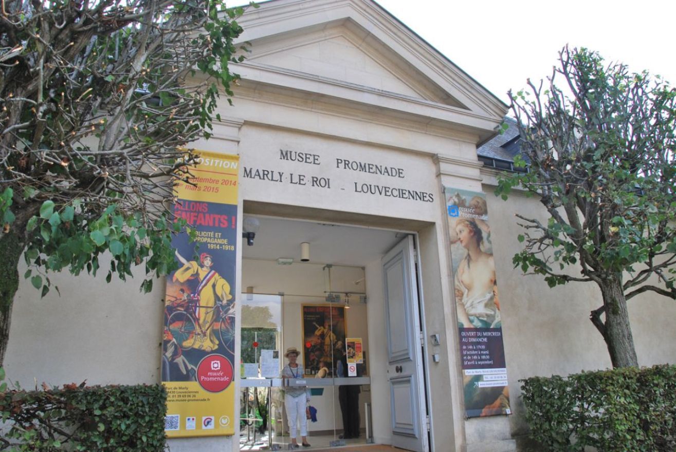
Saint-Germain-en-Laye0,1 kmÉglise Saint-Germain0,2 kmChapelle Palatine0,6 kmLe Pecq0,8 kmChapelle Saint-Erembert1,0 kmRueil-Malmaison5,1 kmMarly-le-Roi5,4 kmÉglise Saint-Vigor6,3 kmÉtoile du Compas8,1 kmPorte de Maintesson9,7 kmLe Pavillon de Bailly9,9 kmBailly10,1 kmLe Chesnay-Rocquencourt10,8 kmAllée Royale12,5 kmSaint-Cyr-l'École14,5 kmSaint-Louis18,0 kmVersalles19,0 kmVersailles Château Rive Gauche19,0 kmTemple de Versailles19,8 kmNotre-Dame19,9 kmÉglise Adventiste du Septième Jour20,4 kmTemple de l’Église de Jésus-Christ des Saints des derniers jours22,2 kmLe Chesnay-Rocquencourt23,7 kmLe Samurai24,7 kmRocquencourt24,7 kmRueil-Malmaison25,6 kmLe 7826,3 kmMarly-le-Roi28,2 kmLe Pecq33,0 kmÉglise Saint-Germain33,3 kmSaint-Germain-en-Laye33,3 km
- Legjobb szezon
-
janfebrmárcáprmájjúnjúlaugszeptoktnovdec
- Legmagasabb pont
- 187 m
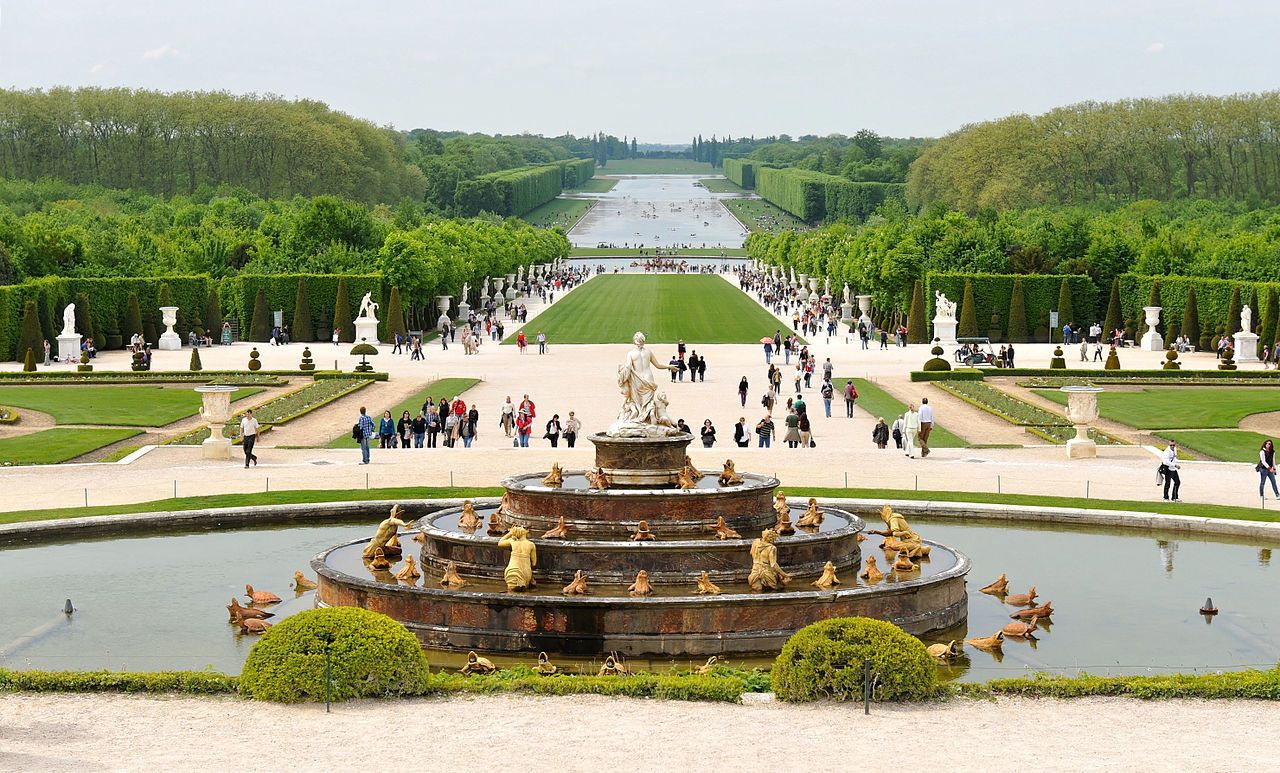
- Úti cél
-
Saint-Germain’s Place du Château outside the gates of the national domain.
- Magassági profil
-
 © outdooractive.com


- Szerző
-
A túra Cycling from Saint-Germain-en-Laye to Versailles a outdooractive.com feltéve, hogy.
GPS Downloads


Általános információ
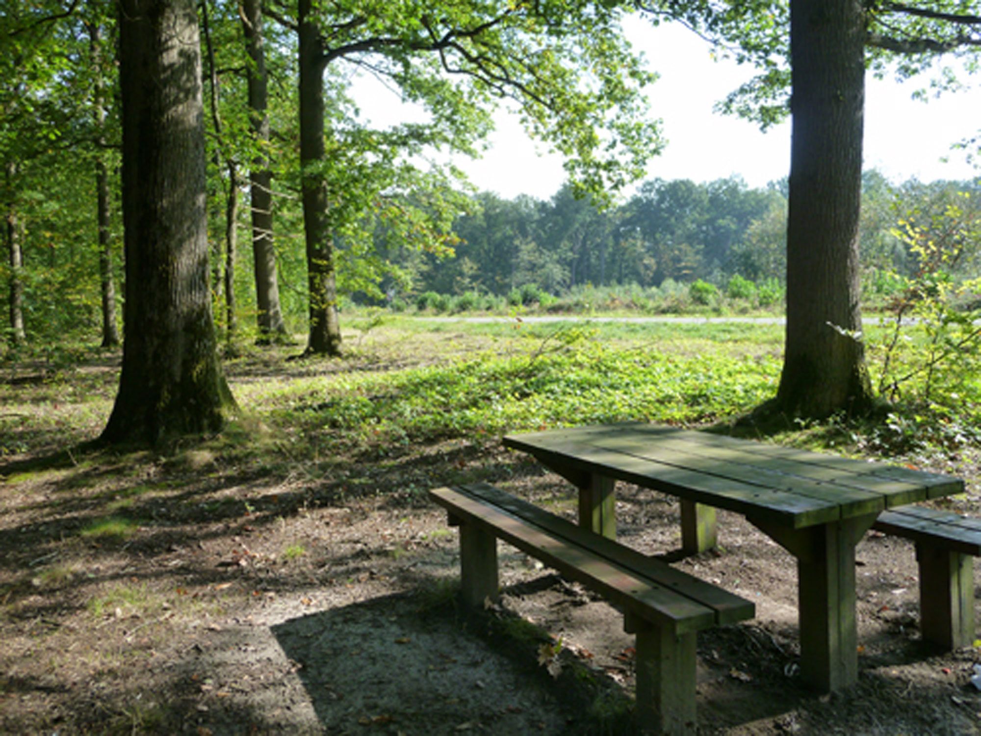
Frissítő megálló
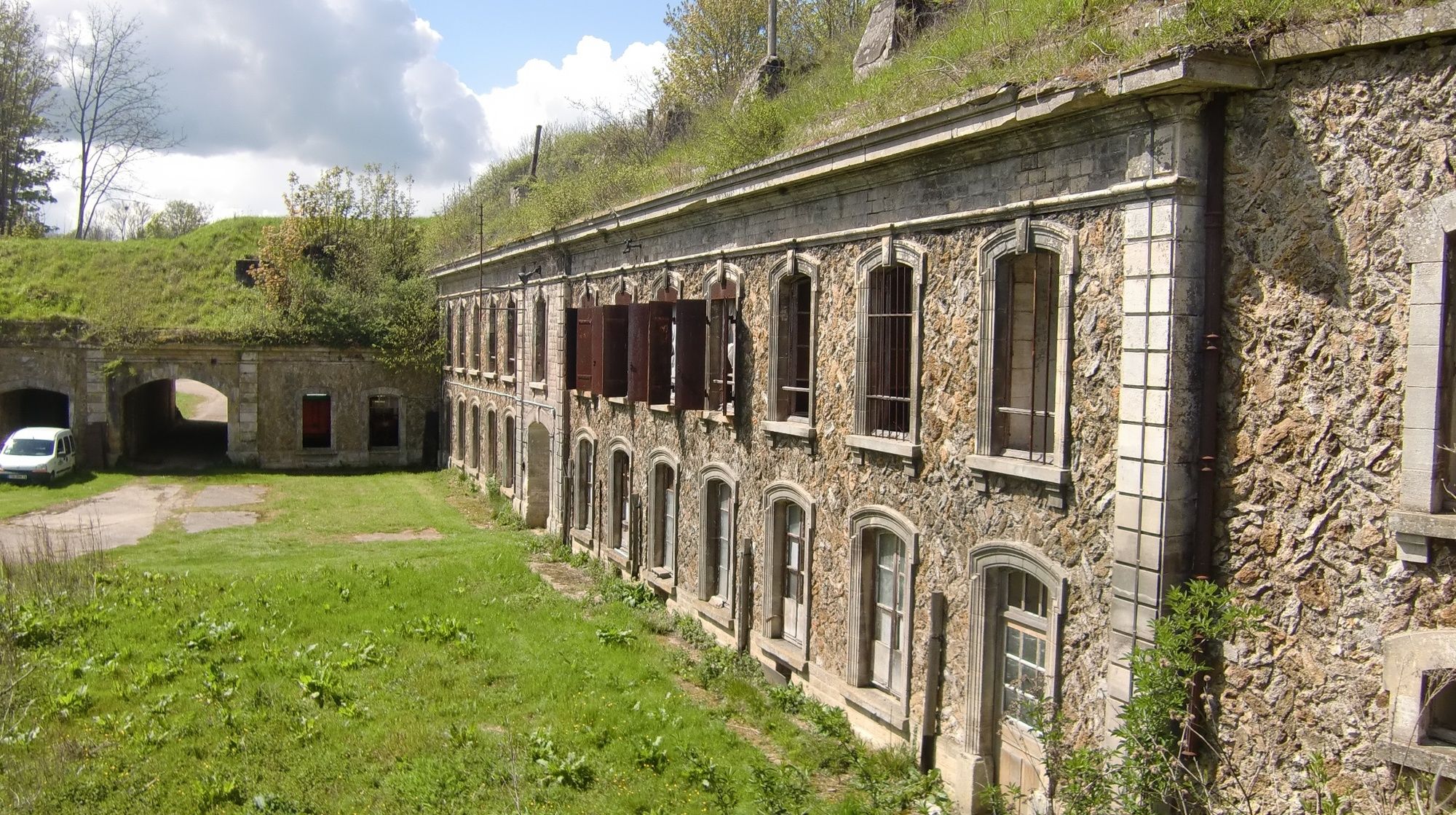
Kulturális/Történelmi
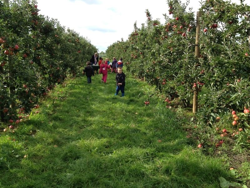
Ígéretes
További túrák a régiókban
-
Val d'oise
37
-
Paris
29