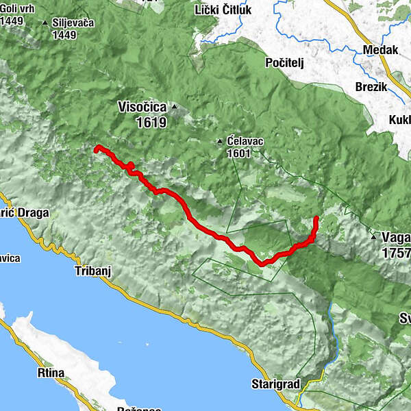
Via Dinarica HR-W-16 Southern Velebit (III) – route to Struge

Kirándulás

© Terra Dinarica - Alan Čaplar

© Terra Dinarica - Alan Čaplar

© Terra Dinarica - Alan Čaplar

© Terra Dinarica - Alan Čaplar

© Terra Dinarica - Alan Čaplar

© Terra Dinarica - Dean Jurčić

© Terra Dinarica - Alan Čaplar

© Terra Dinarica - Alan Čaplar

© Terra Dinarica - Alan Čaplar

© Terra Dinarica - Alan Čaplar

- Rövid leírás
-
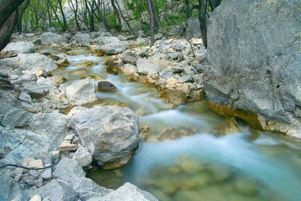
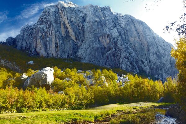
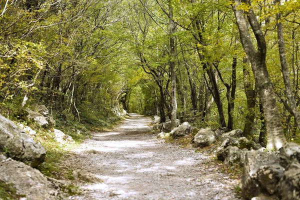
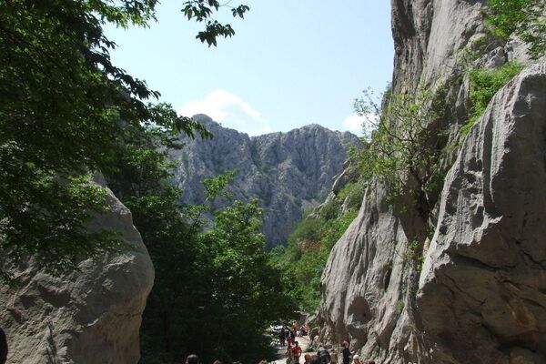
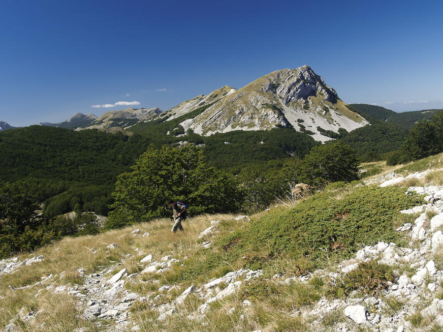
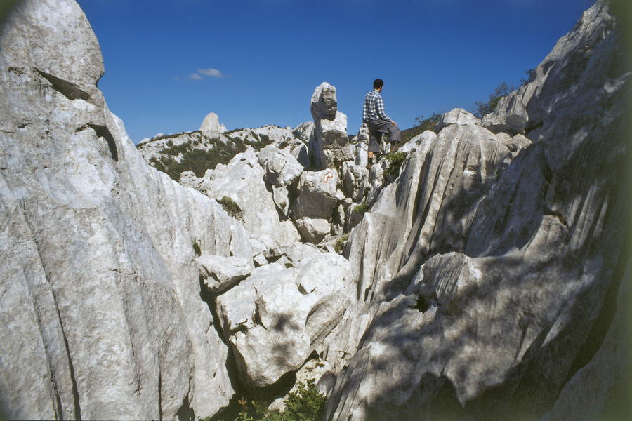
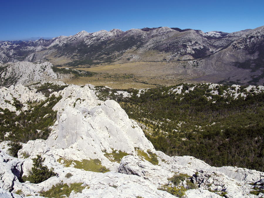
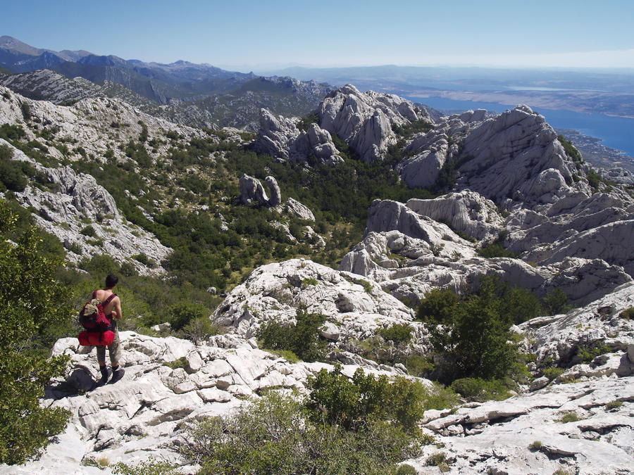
The area between Visočica and the peaks above Paklenica is not characterized by high peaks, and the key hiking destinations are oriented to the coastal side of the mountain. This is karst terrain, with an interesting series of several spacious karst valleys with virgin forests and large fields where the locals kept their livestock during the summer period until the second half of the 20th century.
- Nehézség
-
közepes
- Értékelés
-
- Útvonal
-
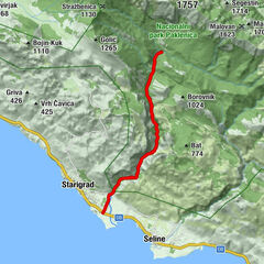
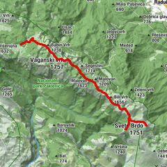
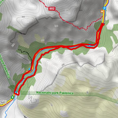
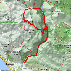
Stap0,0 kmStapina (1.125 m)1,0 kmKamena galerija3,0 kmRačabuša6,0 kmAdžići10,0 kmJovići10,6 kmGornji Marasovići12,1 kmVelika Gospa12,4 kmJama Golubinka13,4 kmStražbenica15,3 kmZanzibar15,8 kmPloče16,8 kmPlaninarsko sklonište Struge17,9 km
- Legjobb szezon
-
janfebrmárcáprmájjúnjúlaugszeptoktnovdec
- Legmagasabb pont
- 1.408 m
- Úti cél
-
Mountain hut Struge
- Magassági profil
-
 © outdooractive.com


-

-
SzerzőA túra Via Dinarica HR-W-16 Southern Velebit (III) – route to Struge a outdooractive.com feltéve, hogy.
GPS Downloads


További túrák a régiókban