© NLW Tourismus Marketing GmbH - Tourismusinfo Nassfeld-Pressegger See


- Rövid leírás
-
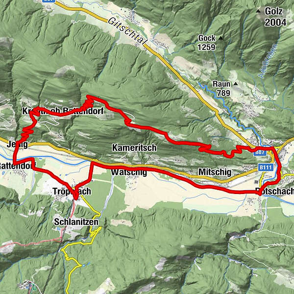
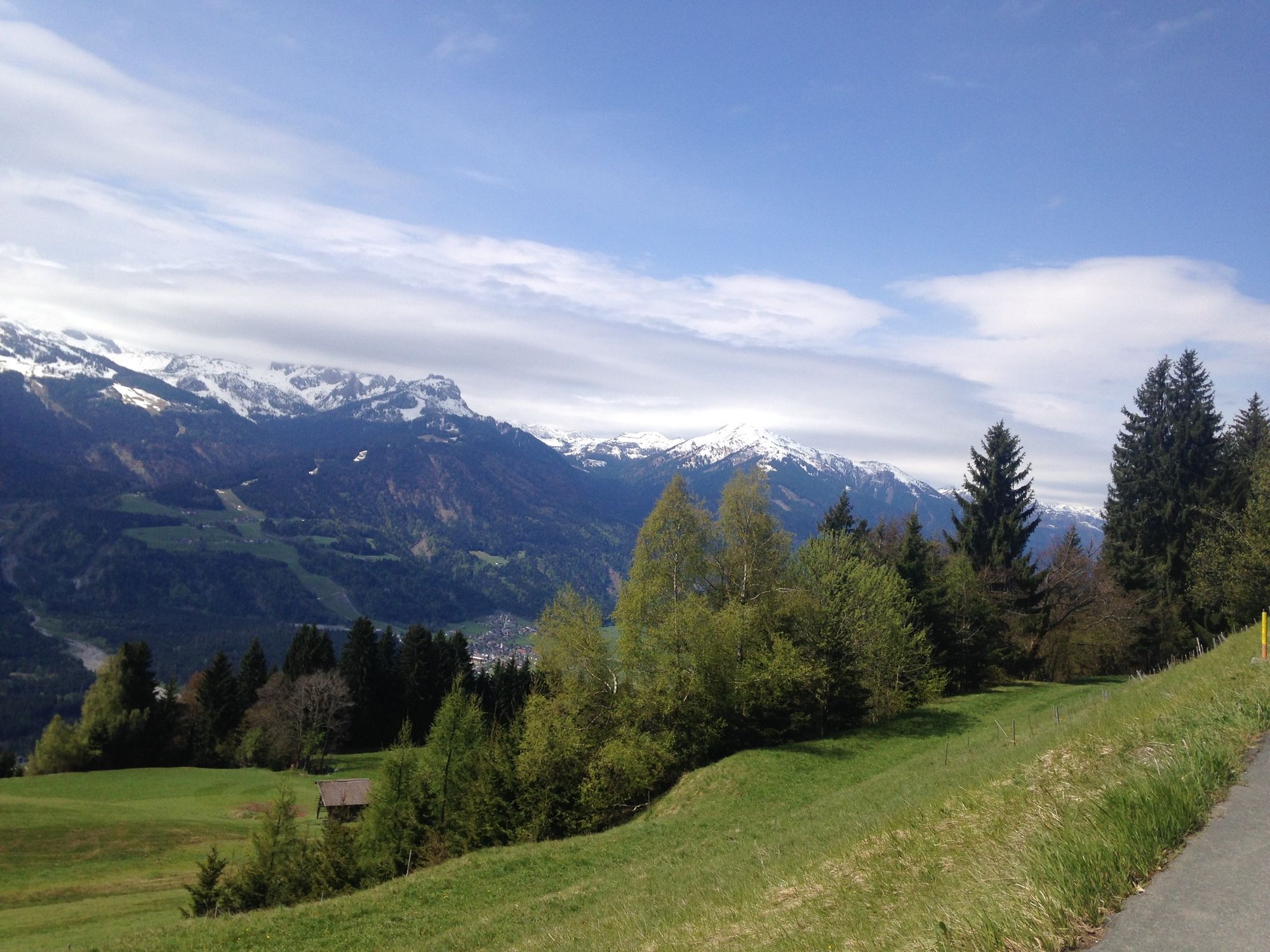
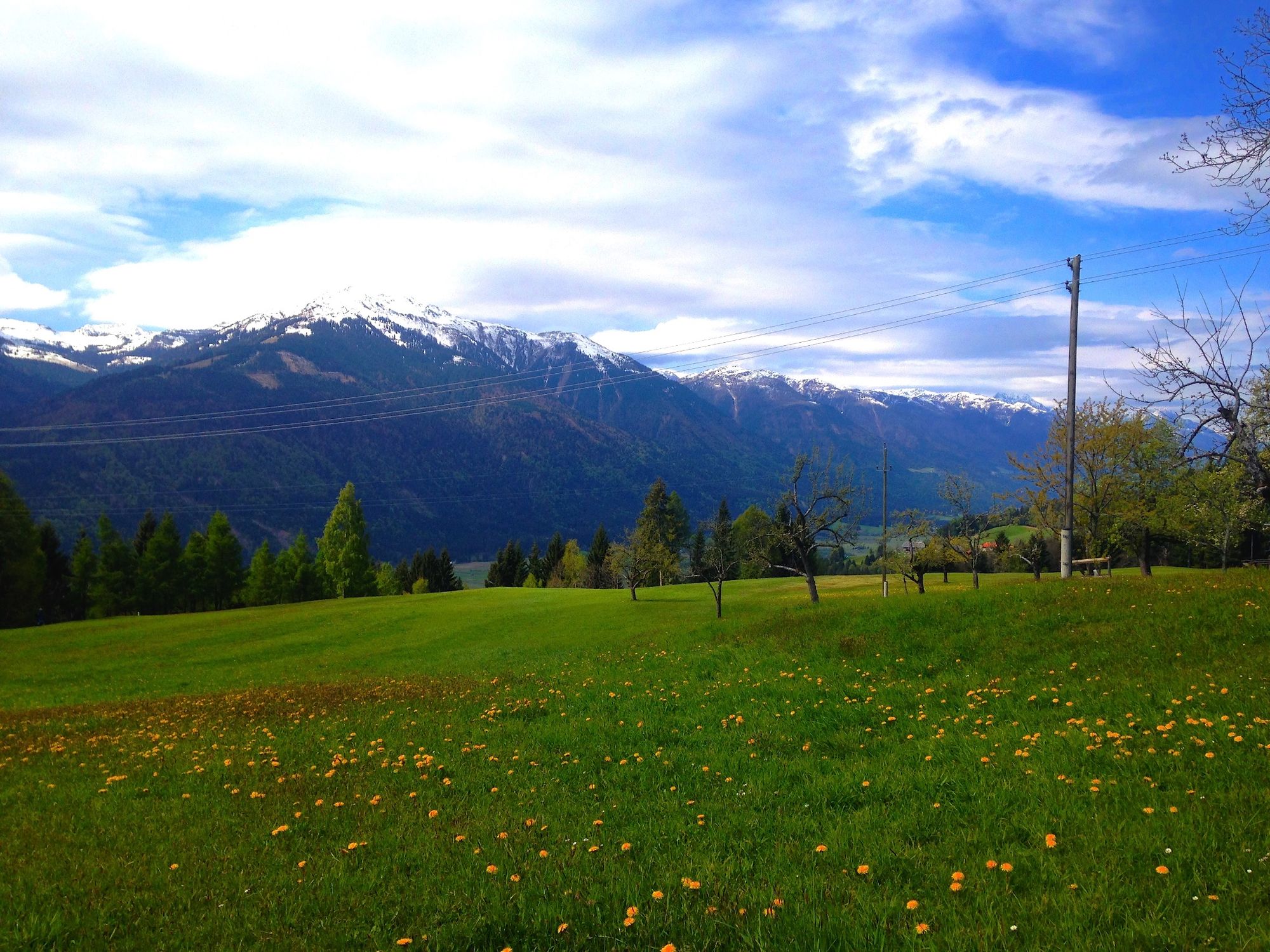
The Guggenberg is a wonderfully pleasant mountain to the west of Hermagor. The route leads along asphalt roads, gravel roads and short passages along a forest road.
It is known for its magnificent views far over the Gailtal and reveals a unique panorama of the Carnic Alps. Especially the trail down to Jenig offers a lot of riding fun for everyone, because the route is easy to ride and all you need for safe riding is a solid riding technique.
The tour is also suitable for e-bikes.
Bike rental directly at the starting point!
The tour is signposted HP1.
- Nehézség
-
közepes
- Értékelés
-
- Útvonal
-
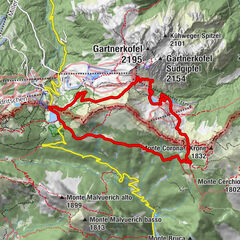
Tröpolach0,3 kmWatschig2,9 kmPostran3,9 kmMitschig6,0 kmPodlanig6,5 kmMöderndorf7,8 kmGail-Wirt7,9 kmKühwegboden8,3 kmMarienkapelle10,0 kmSant'Ermagora10,2 kmPfarrkirche10,2 kmBerggasthof Mösslacher15,7 kmGuggenberg15,8 kmKreuth ob Rattendorf22,7 kmJenig27,2 kmRattendorf27,8 kmTröpolach30,5 kmPfarrkirche Tröpolach30,5 kmZum Alois30,8 km
- Legjobb szezon
-
janfebrmárcáprmájjúnjúlaugszeptoktnovdec
- Legmagasabb pont
- 1.235 m
- Úti cél
-
Guggenberg - Hermagor
- Magassági profil
-


- Szerző
-
A túra Guggenberg a outdooractive.com feltéve, hogy.
GPS Downloads


Általános információ
Frissítő megálló
Ígéretes
További túrák a régiókban