


Obergail - Obergailer Alm - Enderberghütte


through forest, meadows, and woods past several excursion destinations in the excursion village Obergail
Attention: Please check the current trail and weather situation before every tour!
Starting point...
through forest, meadows, and woods past several excursion destinations in the excursion village Obergail
Attention: Please check the current trail and weather situation before every tour!
Starting point Liesing via the village of Obergail, or at the road fork in Obergail (orientation board with directional signs) turn left towards Obergailer Alm. Recommended parking for cars at the end of the village before the start of the forest at the Mühlenstüberl. From there a longer flat section into the Obergailertal to the junction "Steineckenalm-Mittagskofel", there turn right or continue straight (start of the ascent). After a few hundred meters two hairpin bends, between them a barrier for vehicles. At the second hairpin, a right turn to "forest hiking trail" (see description under "forest hiking trail" below). Now continue towards Obergailertal past a rock grotto with a Madonna statue and a few hundred meters further a left turn to the "healing waterfall". After two more hairpin bends at the beginning of Obergailer Alm (cattle gate) there is a wayside cross and a meaningful inscription carved in rock. After approx. 500 m you reach the first alpine hut with cattle stable and the former customs hut. Continue on the track, where at a small creek on the right are signs for the junction towards Gemskofel, Schönjöchl (Raudenscharte), or Raudenspitze, Edigon. Here, however, continue along the alpine path, over a small creek and then through a cattle gate to the next right-hand bend. There are signs here, to the left to the small mountain lake (Obergailer See) with ascent to Mittagskofel and right to the "Enderberghütte" as the destination of the hike. Signs at the hut show the ascent to Raudenscharte, Raudenspitze, and Edigon summit with via ferrata "Steinwand" and right to the shortcut back to Obergail. The control stamp is located at the destination point "Enderberghütte".

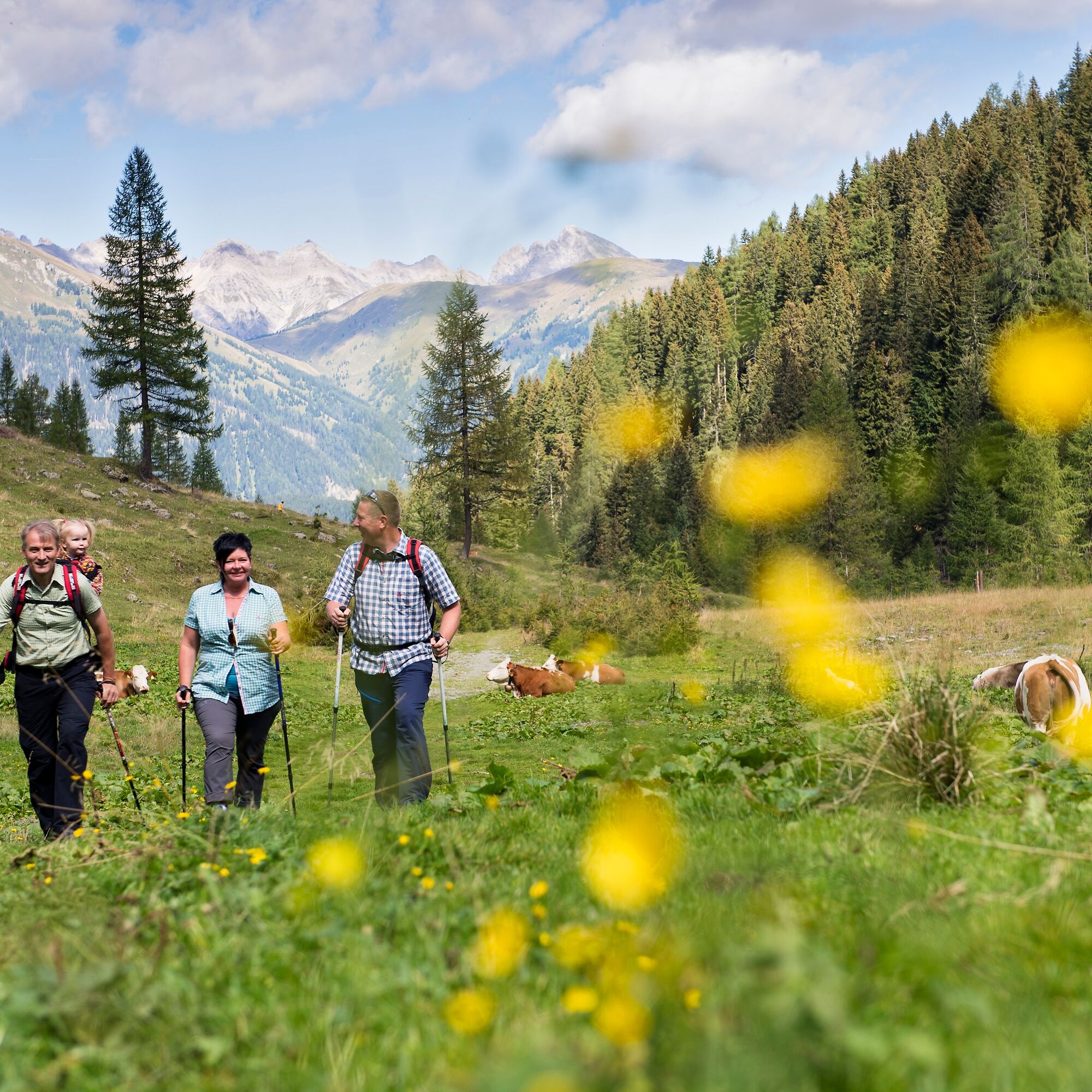

Starting point Liesing via the village of Obergail, or at the road fork in Obergail (orientation board with directional signs) turn left towards Obergailer Alm. Recommended parking for cars at the end of the village before the start of the forest at the Mühlenstüberl. From there a longer flat section into the Obergailertal to the junction "Steineckenalm-Mittagskofel", there turn right or continue straight (start of the ascent). After a few hundred meters two hairpin bends, between them a barrier for vehicles. At the second hairpin, a right turn to "forest hiking trail" (see description under "forest hiking trail" below). Now continue towards Obergailertal past a rock grotto with a Madonna statue and a few hundred meters further a left turn to the "healing waterfall". After two more hairpin bends at the beginning of Obergailer Alm (cattle gate) there is a wayside cross and a meaningful inscription carved in rock. After approx. 500 m you reach the first alpine hut with cattle stable and the former customs hut. Continue on the track, where at a small creek on the right are signs for the junction towards Gemskofel, Schönjöchl (Raudenscharte), or Raudenspitze, Edigon. Here, however, continue along the alpine path, over a small creek and then through a cattle gate to the next right-hand bend. There are signs here, to the left to the small mountain lake (Obergailer See) with ascent to Mittagskofel and right to the "Enderberghütte" as the destination of the hike. Signs at the hut show the ascent to Raudenscharte, Raudenspitze, and Edigon summit with via ferrata "Steinwand" and right to the shortcut back to Obergail. The control stamp is located at the destination point "Enderberghütte".
good footwear, drinking fluid, weatherproof clothing
Sure-footedness is required
Check the current trail situation or possible trail closures before the tour.
to Obergail near Liesing in the Lesachtal, postal code 9653
Approach from the west: by car to Sillian (Tassenbach), then on to the Lesachtal to St. Lorenzen - continue to the Obergail junction - then 2 km to Obergail. Approach from the east: by car to Kötschach-Mauthen, then on to the Lesachtal to St. Lorenzen - continue to the Obergail junction - then 2 km to Obergail.
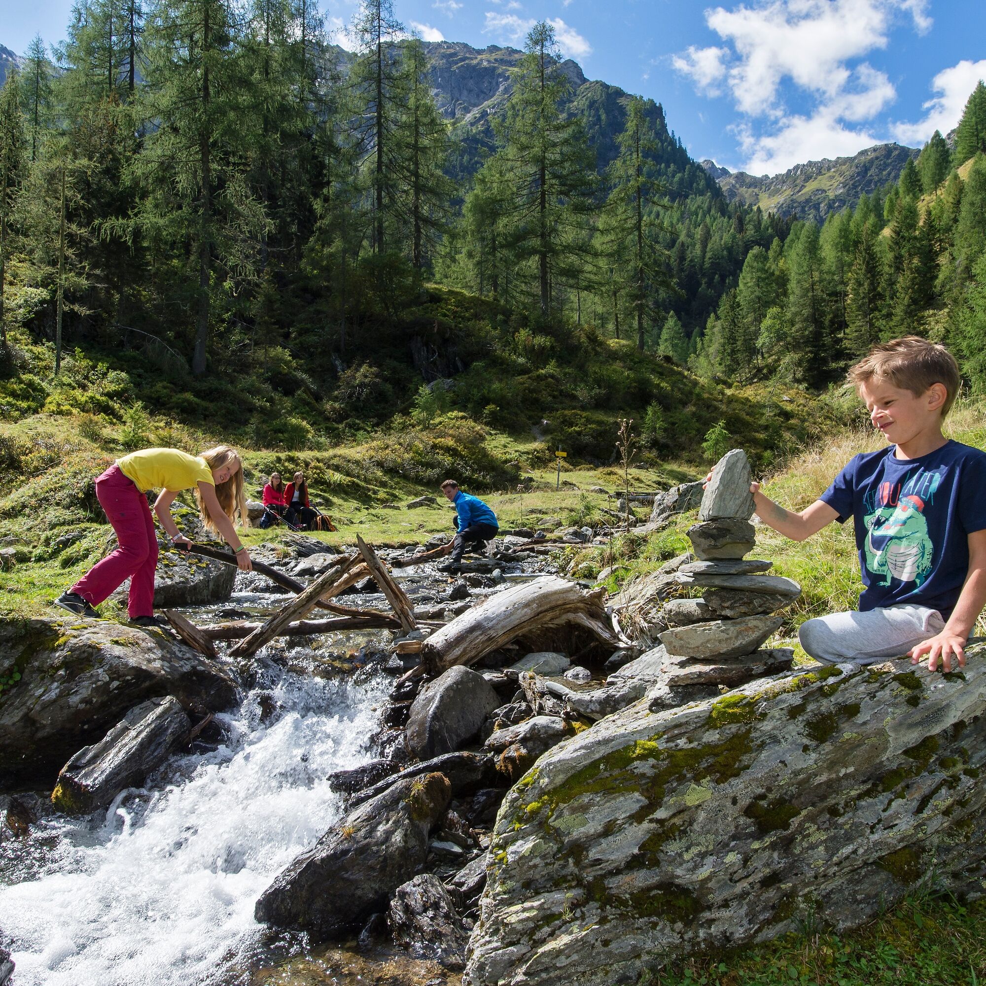
in the Obergailertal in the area of the bee educational trail
The excursion village Obergail offers many leisure opportunities and further beautiful hiking routes
Dining options in Obergail (3 inns/restaurants) 1 snack station (20 min from the path) Herb garden Obergailer See with floating moraine table Lesachtal bee educational trail Fairy tale camp Madonna statue Healing waterfall
Népszerű túrák a környéken
-
4,8
Lienzer Dolomiten-Lasertörl
közepesKirándulás 13,2 km -
3,9
Karlsbader Hütte - Lienzer Dolomiten
Kirándulás 8 km -
4,3
Mountainbiketour von der Hubertuskapelle zum Wolayersee
nehézMountainbike 9,06 km -
4,9
Karnischer Hauptkamm - Hohe Warte 2.780m - Hike and Bike
nehézKirándulás 19,5 km -
4,2
Pirknerklamm
közepesVia ferrata 1,99 km -
3,7
Cellon-Stollen und Senza Confini auf den Cellon und Steinberger Weg zum Abstieg
közepesVia ferrata 7,09 km -
4,5
Karnischer Höhenweg – Etappe 4: Hochweißsteinhaus – Wolayersee Hütte
nehézhosszú távú sétaútvonal 15,9 km -
3,6
RW_N61 Kleiner Pal (1,867 m)
közepesKirándulás 6,95 km -
3,9
Summit hike to the Hochstadel
közepesKirándulás 7,83 km -
2,6
Lienzer Dolomiten: Karlsbader Hütte und Laserzwand
könnyűKirándulás 5,91 km
Túrázás & nyomkövetés


Ne maradjon le az ajánlatokról és az inspirációról a következő nyaralásához!
Az Ön e-mail címe hozzá lett adva a levelezőlistához.