© Visit Éislek

- Rövid leírás
-
From the leisurely afternoon round to the challenging hiking tour, everything is included in the Local Hiking Trails.
- Nehézség
-
könnyű
- Értékelés
-
- Útvonal
-
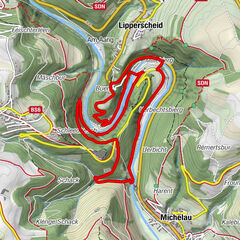
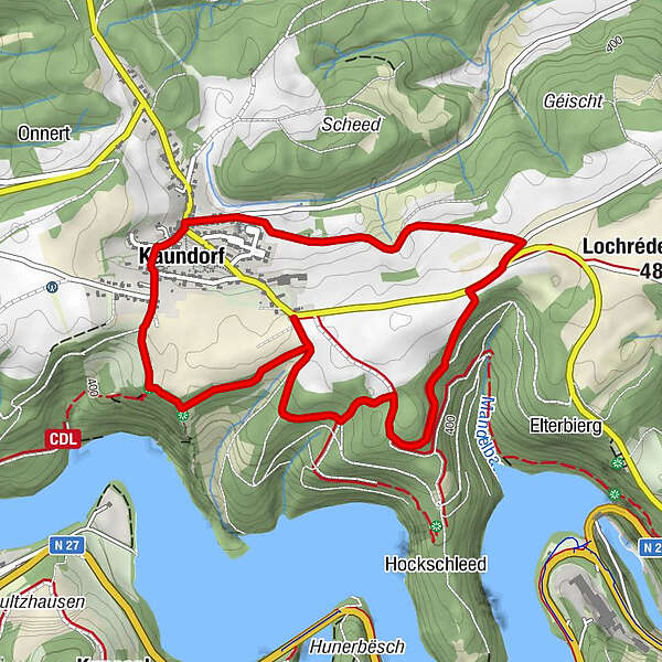
Saint-Hubert1,4 kmKaundorf1,4 km
- Legjobb szezon
-
janfebrmárcáprmájjúnjúlaugszeptoktnovdec
- Legmagasabb pont
- 463 m
- Úti cél
-
Kaundorf
- Magassági profil
-
 © outdooractive.com

- Szerző
-
A túra Local hiking trail LH 2 - Kaundorf a outdooractive.com feltéve, hogy.
GPS Downloads


Általános információ
Ígéretes
További túrák a régiókban
-
Guttland
412
-
Esch-Sauer / Esch-sur-Sûre
163