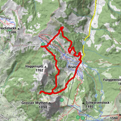
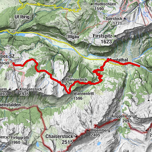
Stage: Muotathal - Wannentritt - Stoos | Schwyz valley & summit tour

Kirándulás
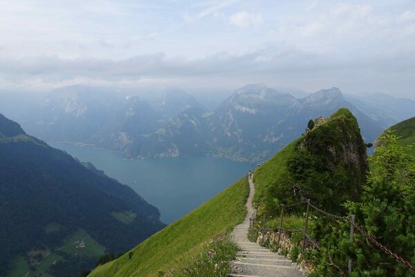
© Schwyz Tourismus

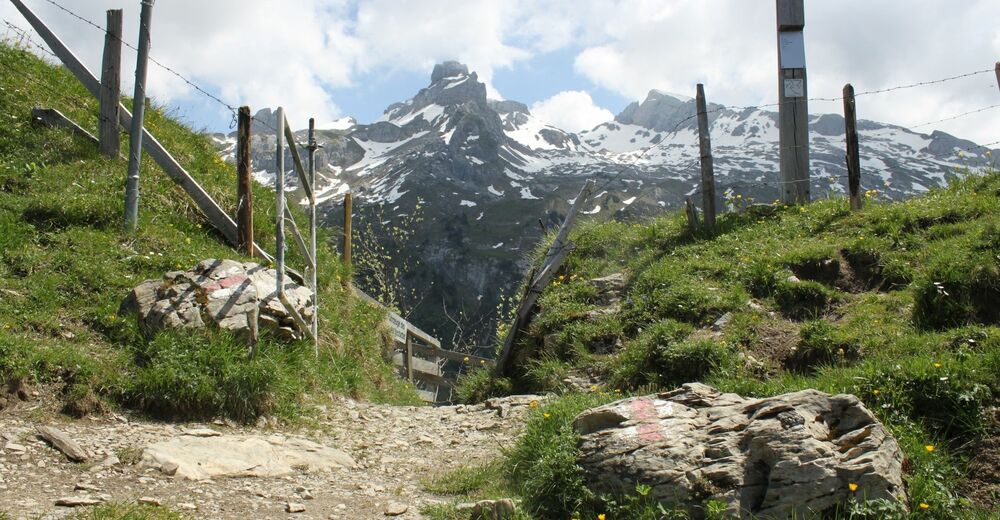
© Schwyz Tourismus

© erlebniswelt muotathal

- Rövid leírás
-
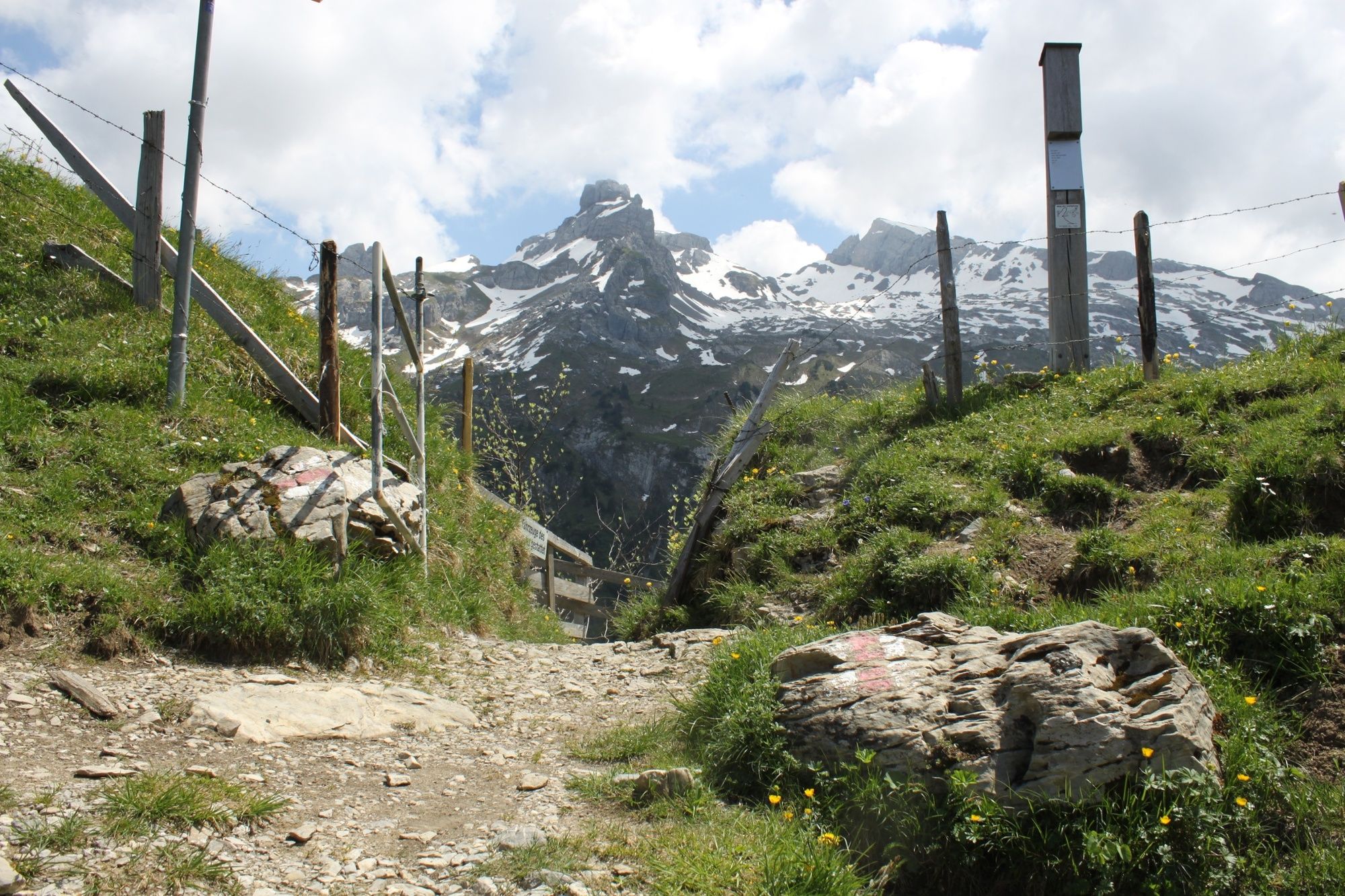
This section leads you along safe paths through the unspoilt natural scenery of the Muota Valley to the small Wannentritt vantage point with a magnificent view of the Chaiserstock mountain range. Passing numerous alpine farms and pastures, you reach the small mountain village of Stoos.
- Nehézség
-
nehéz
- Értékelés
-
- Útvonal
-
Muotathal1,7 kmHöch Weidli7,3 kmWannentritt (1.596 m)9,5 km
- Legjobb szezon
-
janfebrmárcáprmájjúnjúlaugszeptoktnovdec
- Legmagasabb pont
- 1.613 m
- Úti cél
-
Stoos
- Magassági profil
-
 © outdooractive.com


- Szerző
-
A túra Stage: Muotathal - Wannentritt - Stoos | Schwyz valley & summit tour a outdooractive.com feltéve, hogy.
GPS Downloads


Általános információ
Frissítő megálló
Ígéretes
További túrák a régiókban
-
Schwyz
1748
-
Mythenregion
899
-
Illgau
294