© Ferienregion Andermatt - Andermatt-Urserntal Tourismus GmbH

© Ferienregion Andermatt - Fränzi Stalder

© Ferienregion Andermatt - Andermatt-Urserntal Tourismus GmbH

© Ferienregion Andermatt - Andermatt-Urserntal Tourismus GmbH


- Rövid leírás
-
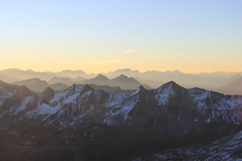
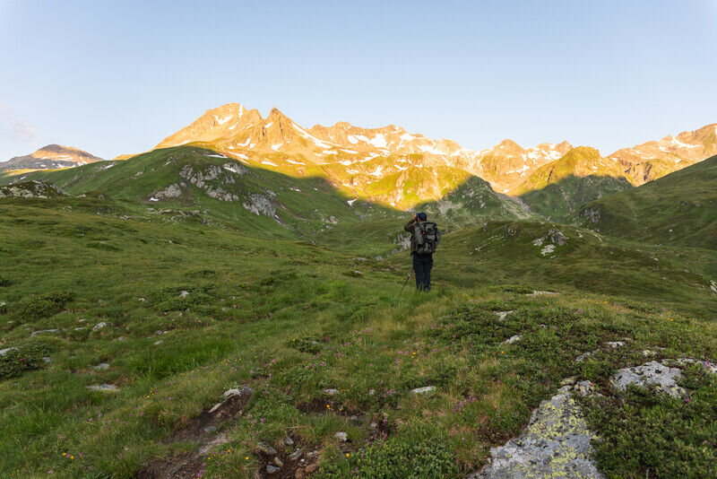
Every winter, thousands of freeriders make their way through the Unteralp valley to Andermatt along a host of different routes. In summer, there are a lot less people on the move here who are using the marked route that passes through Gafallen.
- Nehézség
-
nehéz
- Értékelés
-
- Útvonal
-
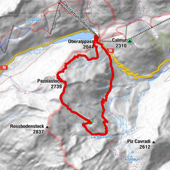
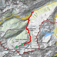
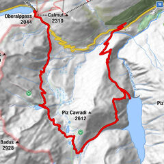
Vermigel Hütte0,0 kmGafallenstafel (2.334 m)2,2 kmGemsstock (2.961 m)5,3 kmGafallenstafel (2.334 m)8,5 kmVermigel Hütte10,8 km
- Legjobb szezon
-
janfebrmárcáprmájjúnjúlaugszeptoktnovdec
- Legmagasabb pont
- 2.905 m
- Úti cél
-
Gemsstock
- Magassági profil
-
 © outdooractive.com


- Szerző
-
A túra Vermigelhütte-Gemsstock a outdooractive.com feltéve, hogy.
GPS Downloads


Általános információ
Ígéretes