Túra-adatok
9,16km
1.499
- 2.274m
1.032hm
320hm
04:00h
- Rövid leírás
-
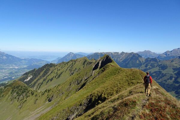
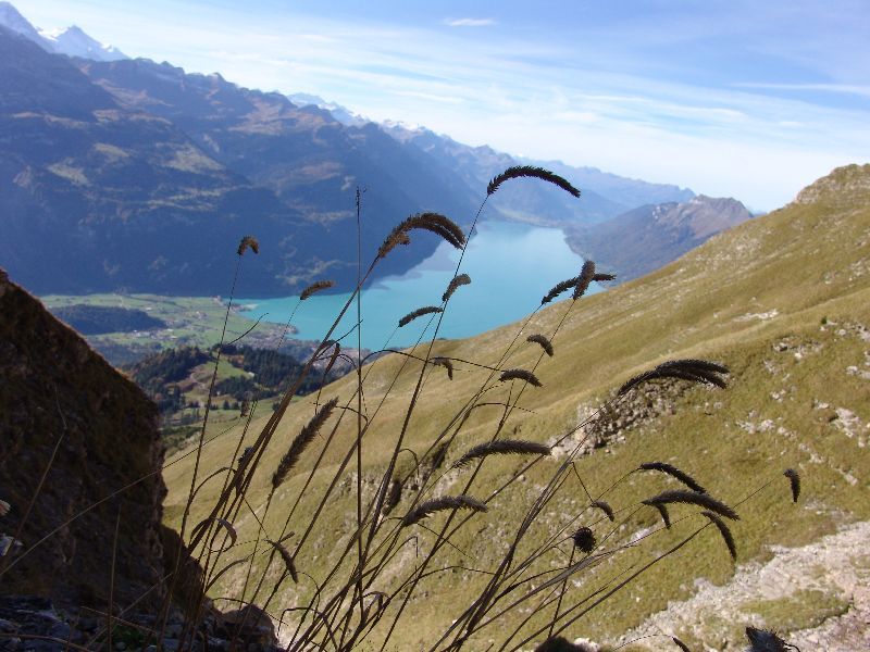
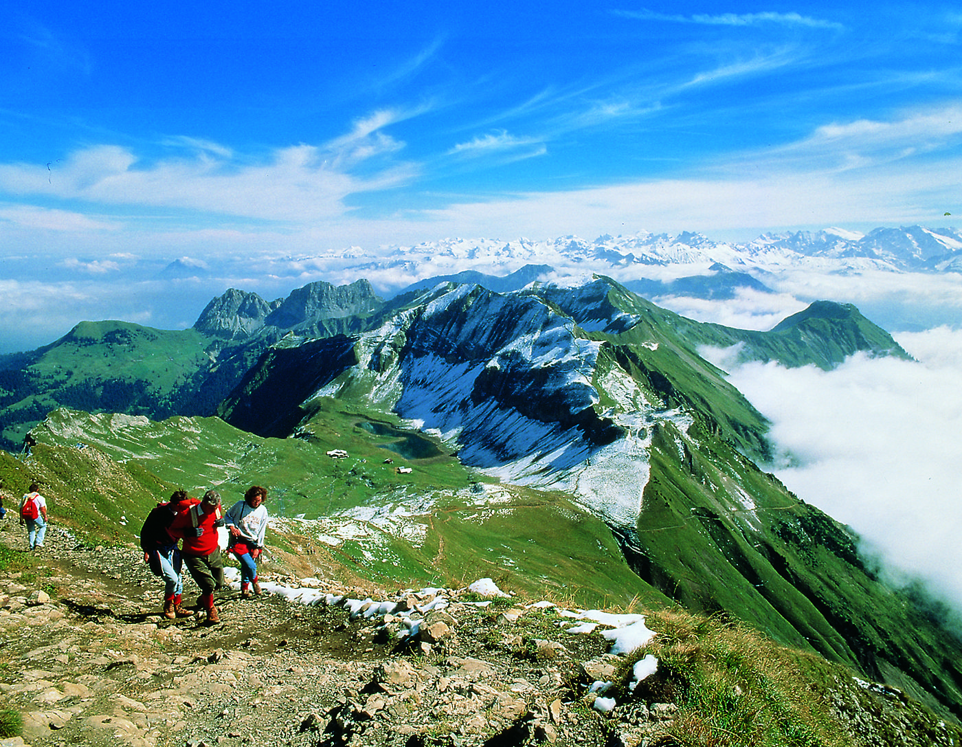
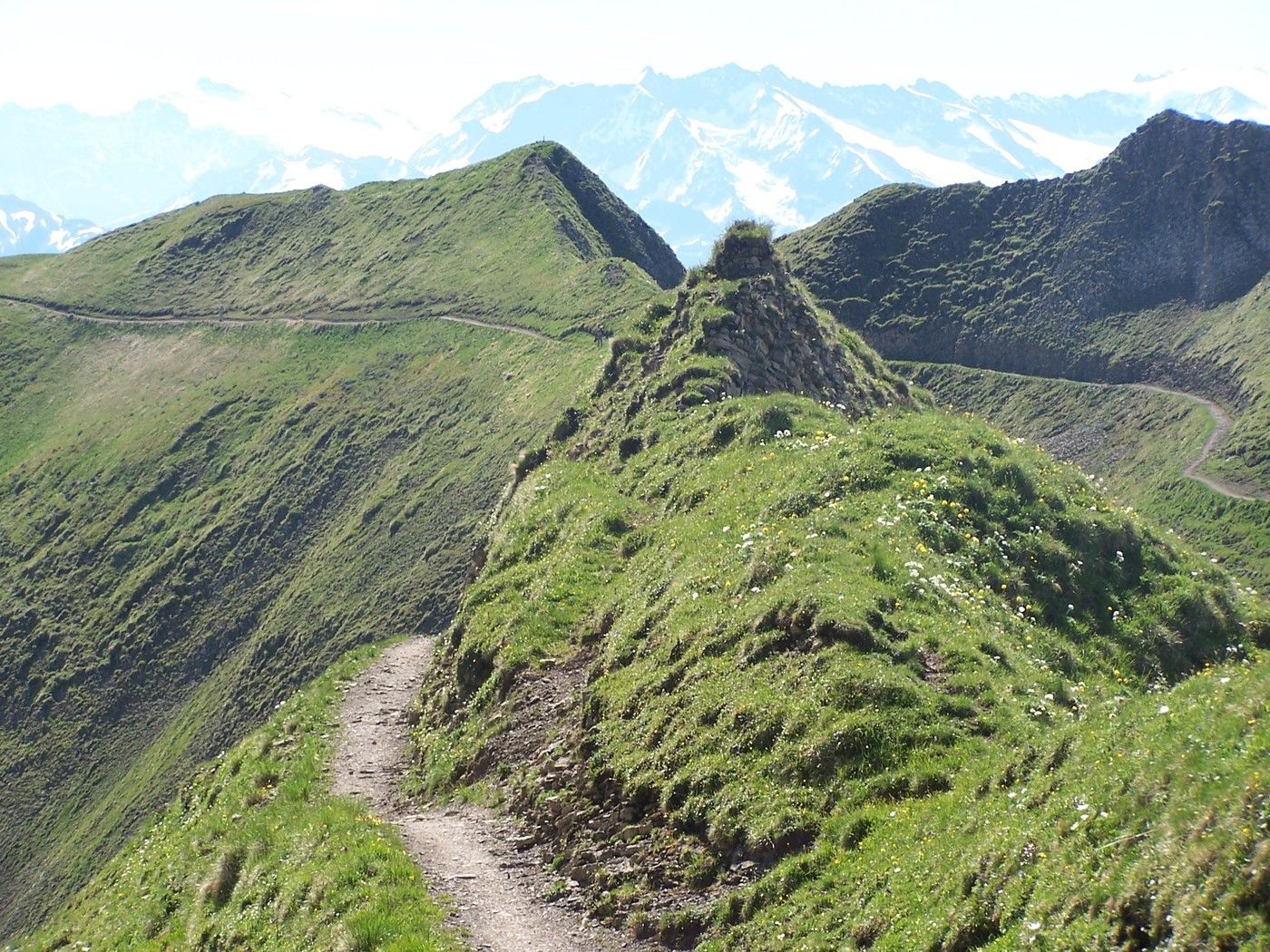
Gratwanderung am Brienzer Rothorn.
- Nehézség
-
közepes
- Értékelés
-
- Kiindulópont
-
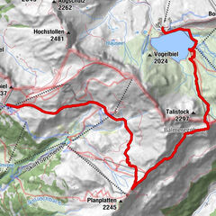
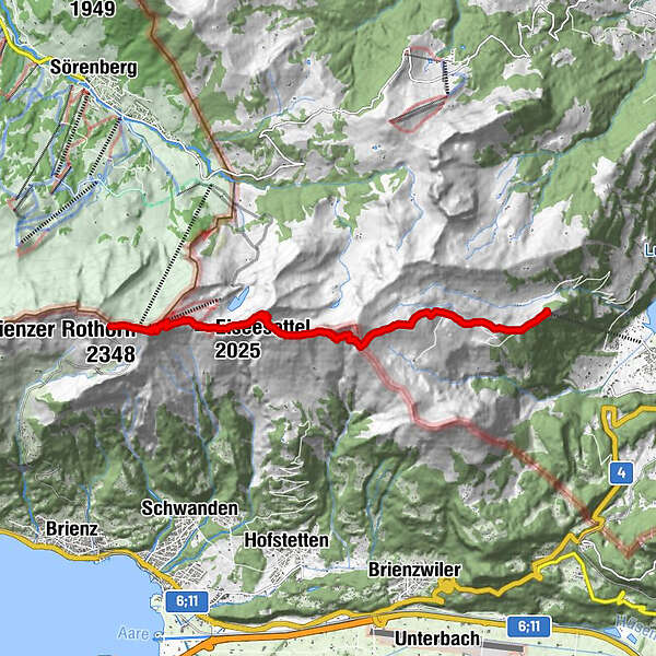
Turren
- Útvonal
-
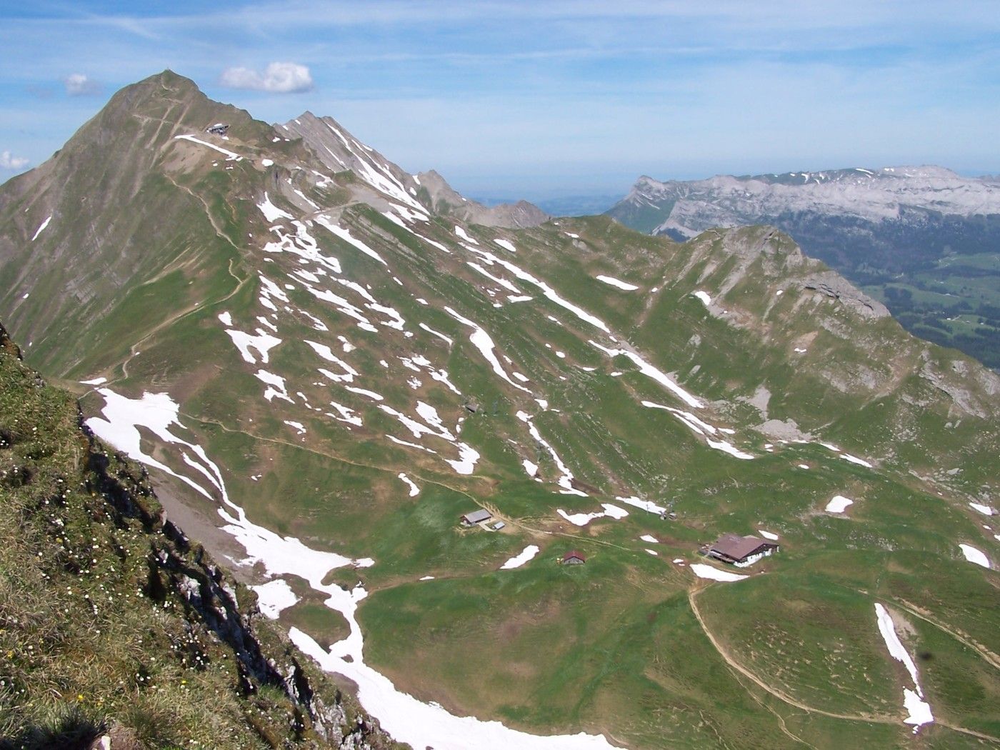
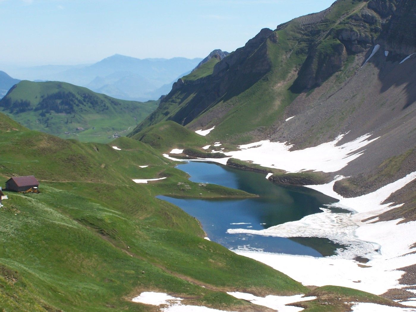
Restaurant Turren0,1 kmFinsterbüel (1.688 m)0,7 kmBreitenfeld1,7 kmBrienzer Rothorn8,0 kmBrienzer Rothorn (2.348 m)8,3 kmGipfel Restaurant Rothorn8,7 kmRothorn8,8 kmBrienzer Rothorn8,9 km
- Legjobb szezon
-
janfebrmárcáprmájjúnjúlaugszeptoktnovdec
- Legmagasabb pont
- Brienzer Rothorn (2.274 m)
- Pihenés/Visszavonulás
-
Berggasthäuser Schönbüel und Berggasthäuser auf dem Brienzer Rothorn
GPS Downloads


A nyomvonal állapota
Aszfalt
Salak
Mező
Erdő
Szikla
Kitett
További túrák a régiókban
-
Obwalden
2014
-
Brienzersee
1054
-
Brienzwiler
302