© Unbekannt - Christian Handl

© Wienerwald Tourismus GmbH / Andreas Hofer

© Unbekannt - Wienerwald Tourismus

© Unbekannt - Wienerwald Tourismus
- Rövid leírás
-
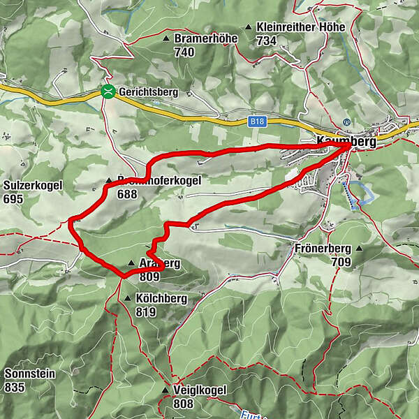
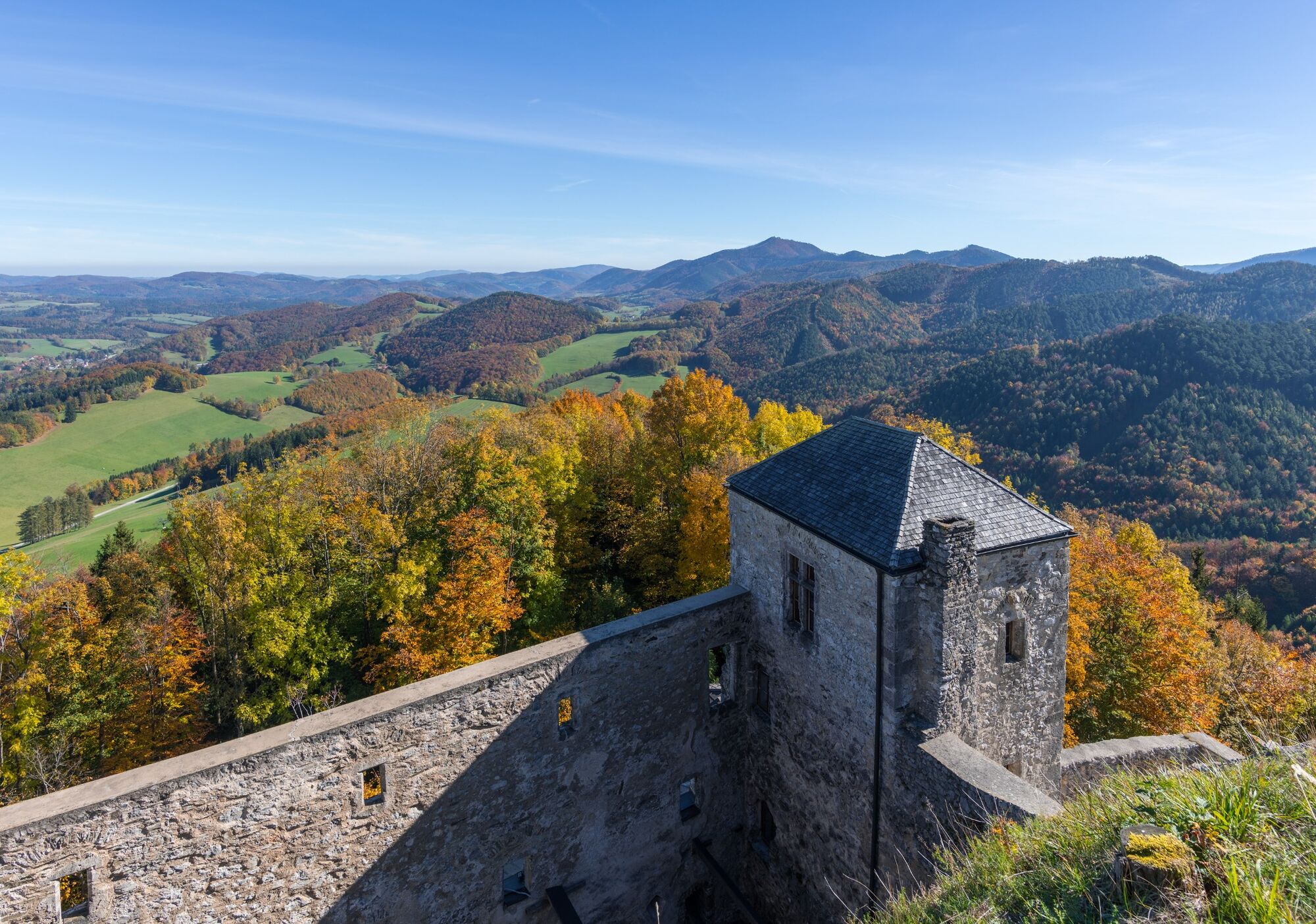
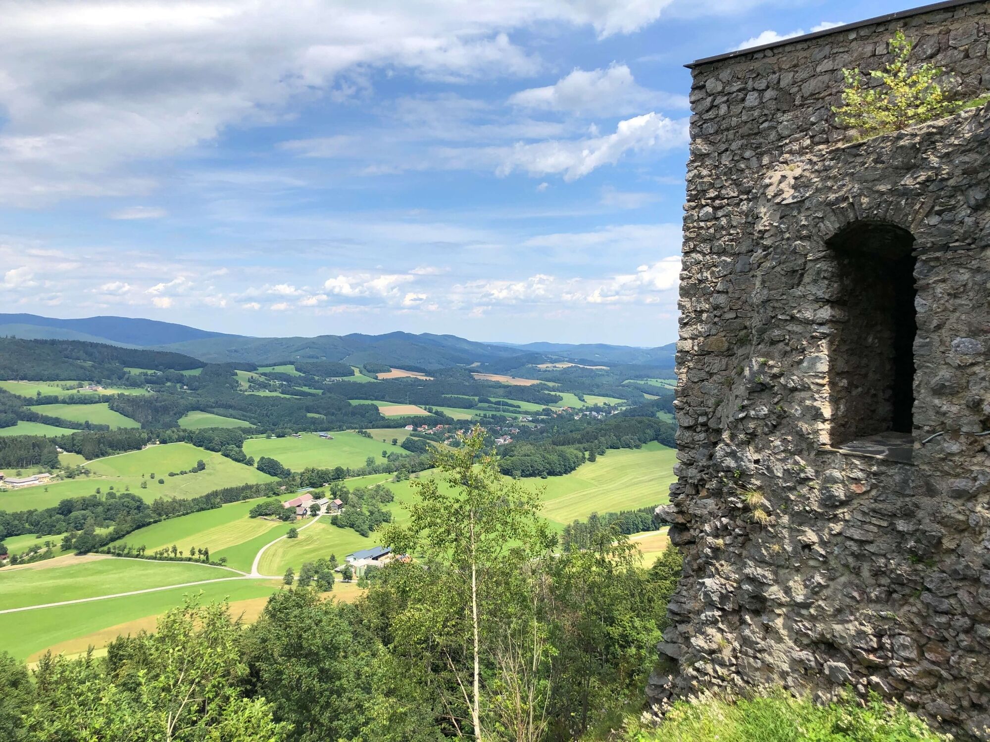
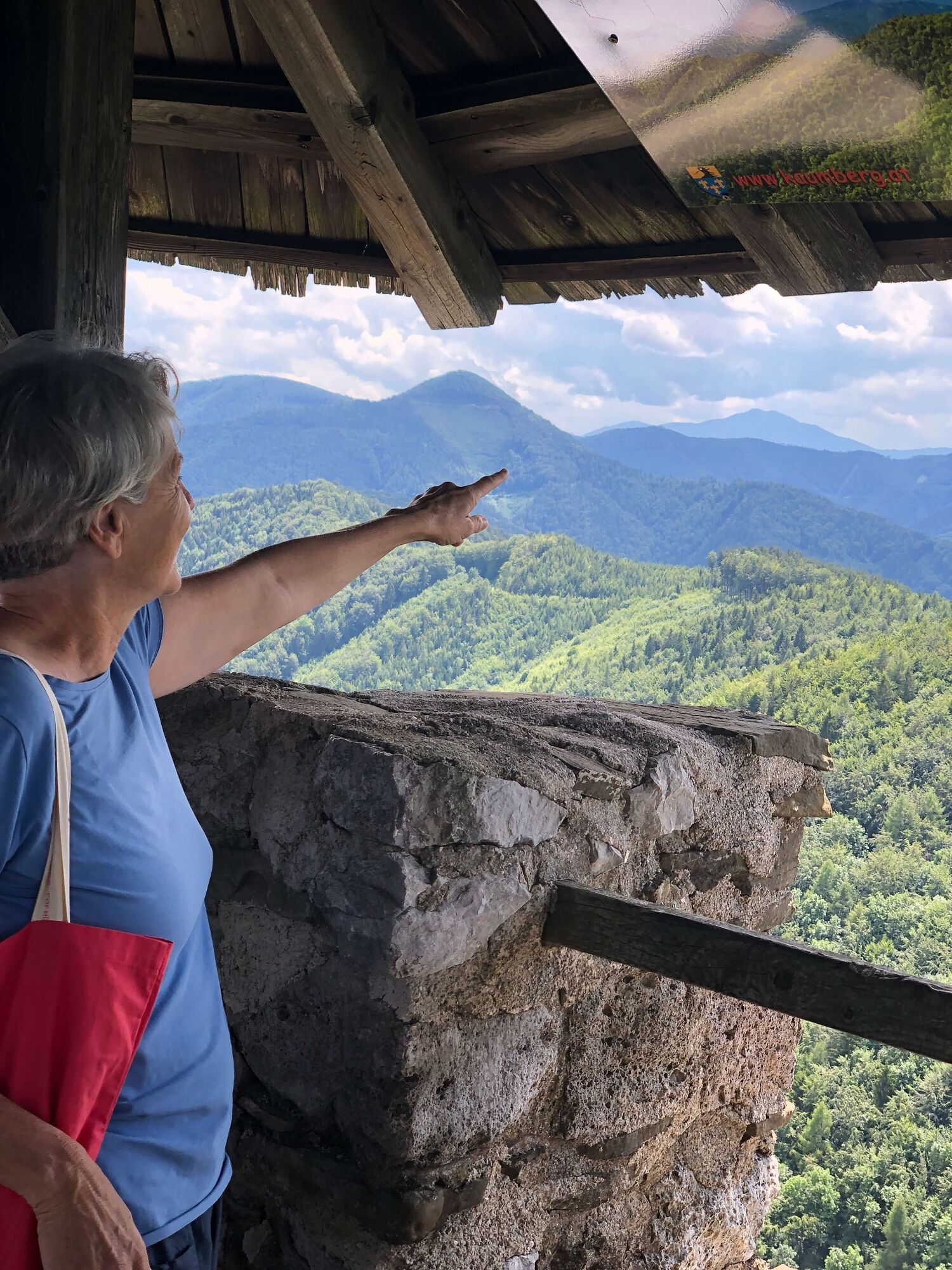
Kaumberg is the westernmost district in Triestingtal. It is situated just before the Gerichtsberg, which marks the border between Triestingtal and Gölsental. The difference between the rolling hills of the Vienna Woods and the foothills of the Alps is already clearly visible. Short hikes through the hilly landscapes to the north and east of the town of Kaumberg are possible.
- Nehézség
-
könnyű
- Értékelés
-
- Útvonal
-
Zum schwarzen BärenKaumberg0,0 kmKirchenwirt0,0 kmBurgstüberl Araburg3,3 kmBrennhoferkogel (688 m)5,5 kmKaumberg8,5 kmKirchenwirt8,6 kmZum schwarzen Bären8,6 km
- Legjobb szezon
-
janfebrmárcáprmájjúnjúlaugszeptoktnovdec
- Legmagasabb pont
- 780 m
- Úti cél
-
Kaumberg, Marktplatz
- Magassági profil
-


- Szerző
-
A túra Circular route to Araburg a outdooractive.com feltéve, hogy.
GPS Downloads


Általános információ
Frissítő megálló
Kulturális/Történelmi
Ígéretes
További túrák a régiókban
-
Wienerwald
4208
-
Elsbeere-Wienerwald
1216
-
Kaumberg
466