© WGD Donau Oberösterreich Tourismus GmbH/Kranzmayr
© WGD Donau Oberösterreich Tourismus GmbH/Andreas Kranzmayr - Andreas Kranzmayr
© WGD Donau Oberösterreich Tourismus GmbH

© WGD Donau Oberösterreich Tourismus GmbH
© WGD Donau Oberösterreich Tourismus GmbH/Andreas Kranzmayr - Andreas Kranzmayr
© WGD Donau Oberösterreich Tourismus GmbH
© WGD Donau Oberösterreich Tourismus GmbH

© WGD Donau Oberösterreich Tourismus GmbH

- Rövid leírás
-
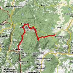
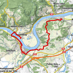
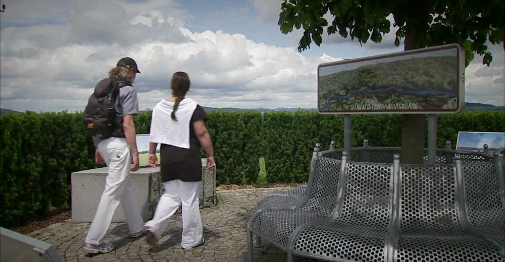
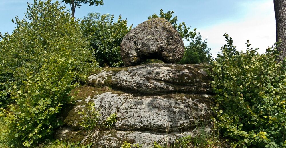
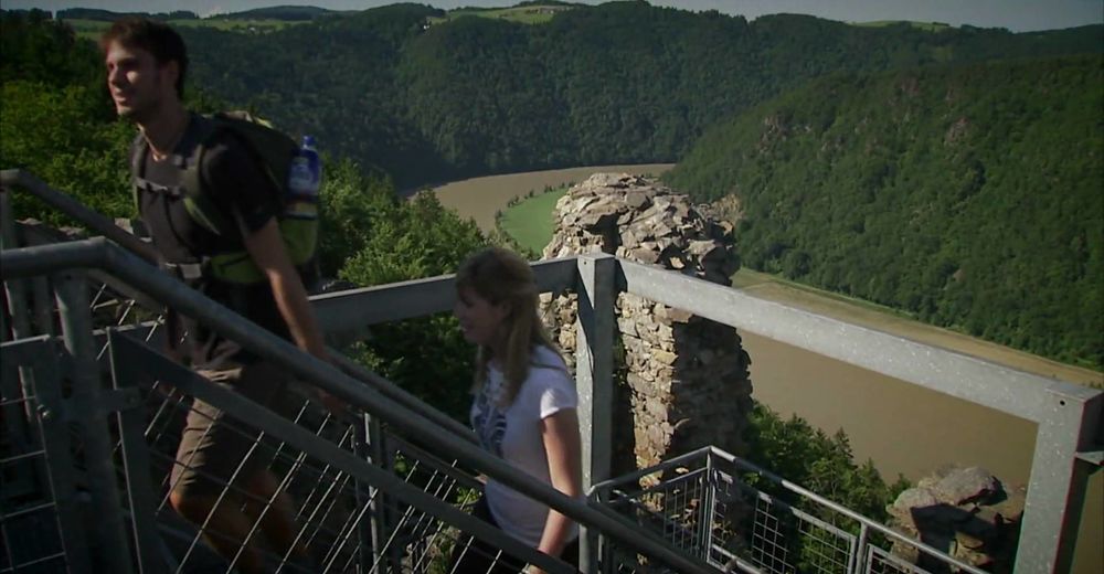
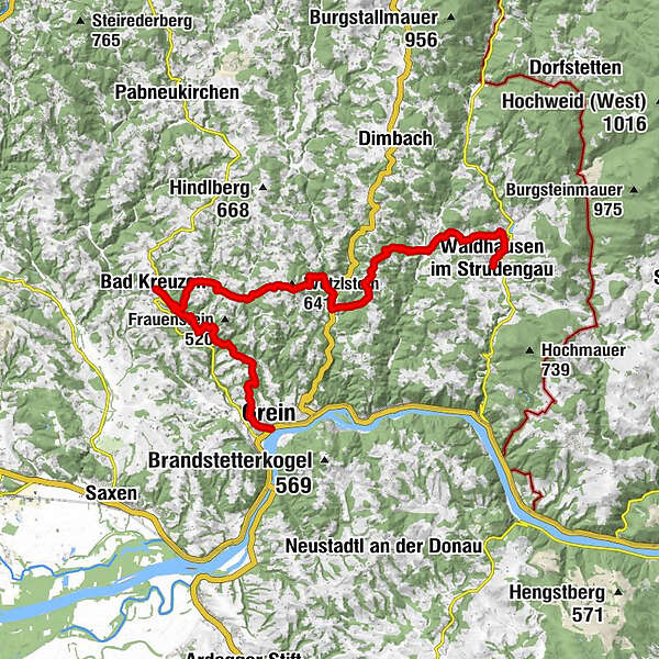
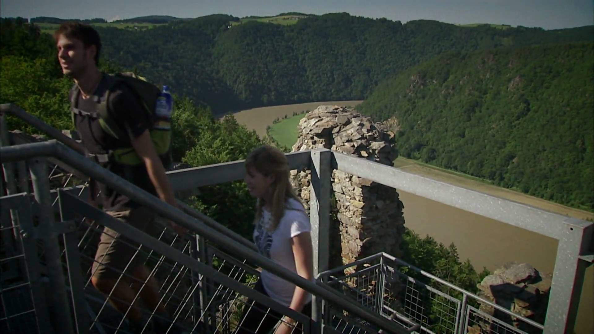
The Donausteig-simply fabulous! Summit assault onto the Wetzlstein - one of the seven donausteig-summits! We hike on this panoramic stage through the hills of the Aist-Naarn-Kuppenlande (region): from Waldhausen over the Wetzlstein to bad Kreuzen and along the Danube down to Grein. We discover the magnificent monastery of Waldhausen as an end and a beginning, divine masonry, the second largest castle in Upper Austria, the healing waters of the Wolfsschlucht (canyon)...
- Nehézség
-
nehéz
- Értékelés
-
- Útvonal
-
Pizzeria im Markt Cafe0,0 kmPfarrkirche Hl. Johannes der Täufer0,1 kmWaldhausen im Strudengau0,1 kmGasthaus Reutner1,3 kmLangenbach4,2 kmAumühle GH Schöller9,2 kmBad Kreuzen17,5 kmKirchenwirt17,5 kmNeuaigen19,0 kmSpeck Alm21,0 kmHahnwirt22,9 kmLehen23,1 kmGrein25,6 kmStadtpfarrkirche25,6 km
- Legjobb szezon
-
janfebrmárcáprmájjúnjúlaugszeptoktnovdec
- Legmagasabb pont
- 615 m
- Úti cél
-
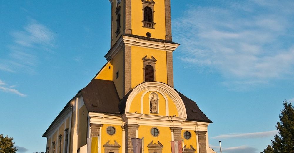
Grein – the Donausteig-starting point"Grein" is at the Donaulände (park) in a green area between the main road and the parking lots in the direction of the city (Opposite to the Cafe Schinagl with the ferry dock of the opposite tourism Oberösterreich Touristik- the only House directly on the Donaulände!)
- Magassági profil
-


- Szerző
-
A túra Waldhausen – Grein Stage a outdooractive.com feltéve, hogy.
GPS Downloads


Általános információ
Frissítő megálló
Kulturális/Történelmi
Bennfentes tipp
Ígéretes
További túrák a régiókban
-
Mostviertel
2454
-
Strudengau
799
-
Grein an der Donau
176