© Erwin Haiden

© Stefan Mayerhofer

© Erwin Haiden

© OÖ Tourismus, Moritz Ablinger - Moritz Ablinger

- Rövid leírás
-
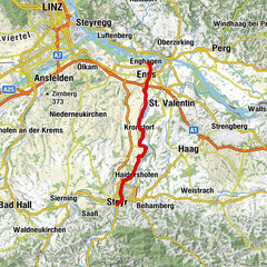
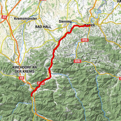
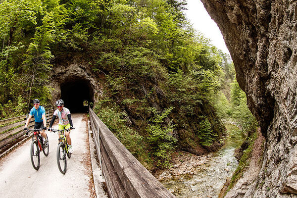
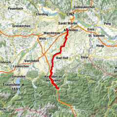
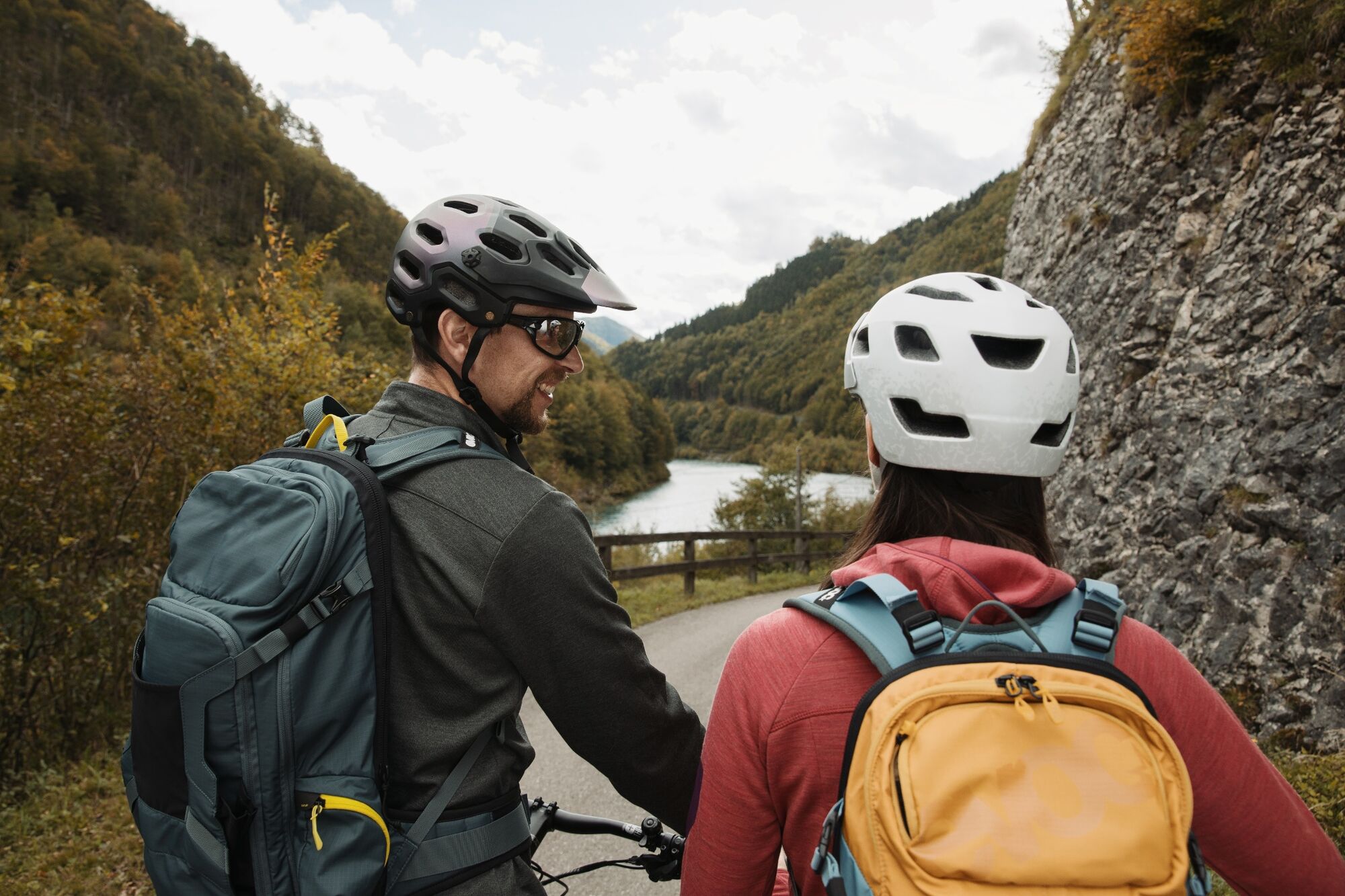
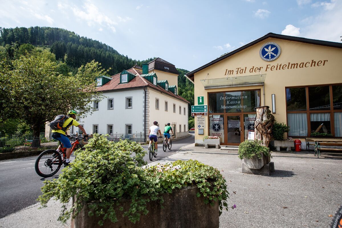
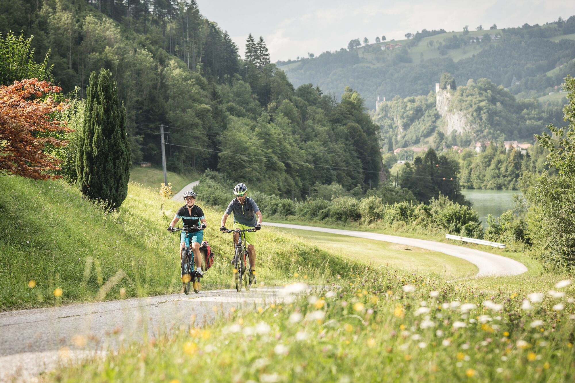
E-bike pleasure tour in 7 daily stages with approx. 460 km and approx. 5,000 m ascentThe route is well marked, mostly on state cycle paths along rivers and waterways from the Steyrtal via the Kremstal and the Almtal to Gmunden, on at the transition to the Alpine foothills to Bad Hall, via Wolfern and Steyr into the Ennstal and over the Reichraminger Hintergebirge to the Pyhrn-Priel region and back to Steyr.
- Nehézség
-
közepes
- Értékelés
-
- Útvonal
-
Bad HallPfarrkirche Bad HallLukaskirche0,3 kmFurtmühle2,0 kmJausenstation Eisenhuber3,3 kmGroßmengersdorf4,5 kmWeinheuriger Blumenhof4,7 kmMengersdorf5,5 kmHilbern7,4 kmHilbern8,9 kmDroißendorf11,3 kmOberbrunnern13,5 kmRath15,6 kmNiederbrunnern17,7 kmOberwolfern20,0 kmGasthaus Faderl21,4 kmTaiwan21,9 kmWolfern21,9 kmPfarrkirche Wolfern21,9 kmThanners Gasthaus Holzer25,5 kmGleink26,3 kmPostcafé26,5 kmDornach27,4 kmStadtgut Steyr27,9 kmSchindlalm29,1 kmResthof29,6 kmOrt31,3 kmEnnsdorf32,6 kmZwischenbrücken32,9 kmInnere Stadt33,3 kmSteyr (310 m)33,3 kmNeuschönau34,1 kmPyrach34,7 kmKraxental34,7 kmStiftskirche Garsten36,5 kmPizzaria La Fontana37,0 kmGarsten37,0 kmWirt am Platzl37,0 kmGarstnerfeld37,9 kmSand39,7 kmLahrndorf41,7 kmWirtshaus zur Gerti45,0 kmFaller Wasserfall45,5 kmTernberg48,5 kmTrattenbach50,8 kmLosenstein57,0 kmGasthaus Aglas62,9 kmReichraming63,0 kmPfarrkirche Reichraming63,1 kmHeinzl68,1 km
- Legjobb szezon
-
janfebrmárcáprmájjúnjúlaugszeptoktnovdec
- Legmagasabb pont
- 466 m
- Úti cél
-
Großraming
- Magassági profil
-


- Szerző
-
A túra Traunviertel Tour - Stage 4 a outdooractive.com feltéve, hogy.
GPS Downloads


További túrák a régiókban
-
Traunviertel
134
-
Tourismusregion Bad Hall
83
-
Garsten
30