© Mühlviertler Hochland
- Rövid leírás
-
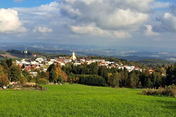
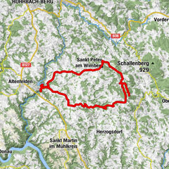
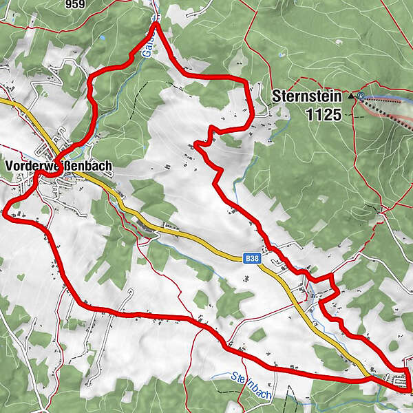
Route: City tour Bad Leonfelden - Ortschlag - Bernhardschlag - Stumpten - Vorderweißenbach - Kohlbach - Gaisschlag - Eberhardschlag - Amesschlag - Amesberg - City tour Bad Leonfelden
- Nehézség
-
közepes
- Értékelés
-
- Útvonal
-
Ortschlag1,4 kmBernhardschlag3,2 kmSchmankerlwirt6,7 kmVorderweißenbach6,8 kmBräugasthof Mascher6,9 kmKirche Vorderweißenbach6,9 kmGaisschlag10,1 kmEberhardschlag12,5 kmAmesschlag14,4 kmAmesberg15,9 km
- Legjobb szezon
-
janfebrmárcáprmájjúnjúlaugszeptoktnovdec
- Legmagasabb pont
- 942 m
- Magassági profil
-


- Szerző
-
A túra S5 Vorderweißenbacher Round a outdooractive.com feltéve, hogy.
GPS Downloads


További túrák a régiókban
-
Mühlviertel
215
-
Mühlviertler Hochland
122
-
Vorderweißenbach
53