© TV Nationalpark Region Steyrtal

© TVB Steyrtal

© TVB Steyrtal

- Rövid leírás
-
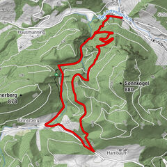
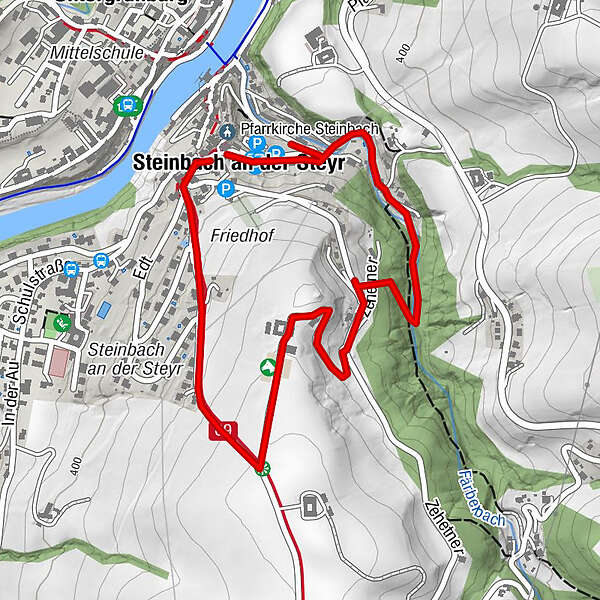
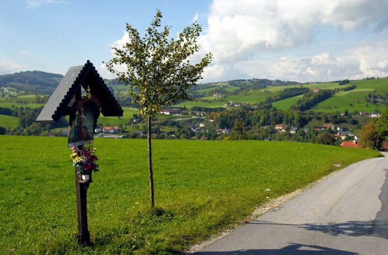
Panoramic tour from the town square to the upper terrace of the Steyr valley past five wayside crosses and via the Färbertal valley back to the starting point
- Nehézség
-
könnyű
- Értékelés
-
- Útvonal
-
Untergrünburg0,0 kmPfarrkirche Steinbach2,5 kmSteinbach an der Steyr2,6 kmKirchenwirt Czerny2,7 km
- Legjobb szezon
-
janfebrmárcáprmájjúnjúlaugszeptoktnovdec
- Legmagasabb pont
- 461 m
- Úti cél
-
Steinbach an der Steyr/center of the village
- Magassági profil
-

- Szerző
-
A túra Panorama trail Steinbach an der Steyr a outdooractive.com feltéve, hogy.
GPS Downloads


Általános információ
Frissítő megálló
Ígéretes
További túrák a régiókban
-
Traunviertel
1962
-
Tourismusregion Bad Hall
777
-
Steinbach an der Steyr
358