Circuit VTT : Autour de la frontière de 1258 - MONTNER/ESTAGEL

Mountainbike
© Perpignan Méditerranée Tourisme - ©Maurice Séguié

© Perpignan Méditerranée Tourisme - ©Lionel Moogin - Agly Verdouble

© Perpignan Méditerranée Tourisme - ©Lionel MOOGIN - Agly-Verdouble

© Perpignan Méditerranée Tourisme - ©MGC - Agly-Verdouble

© Perpignan Méditerranée Tourisme - ©MGC- Agly-Verdouble

© Perpignan Méditerranée Tourisme - ©Agly Verdouble

© Perpignan Méditerranée Tourisme - ©Lionel Moogin - Agly Verdouble

© Perpignan Méditerranée Tourisme - ©Guy François Banyuls
- Rövid leírás
-
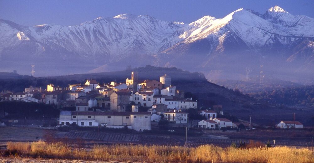
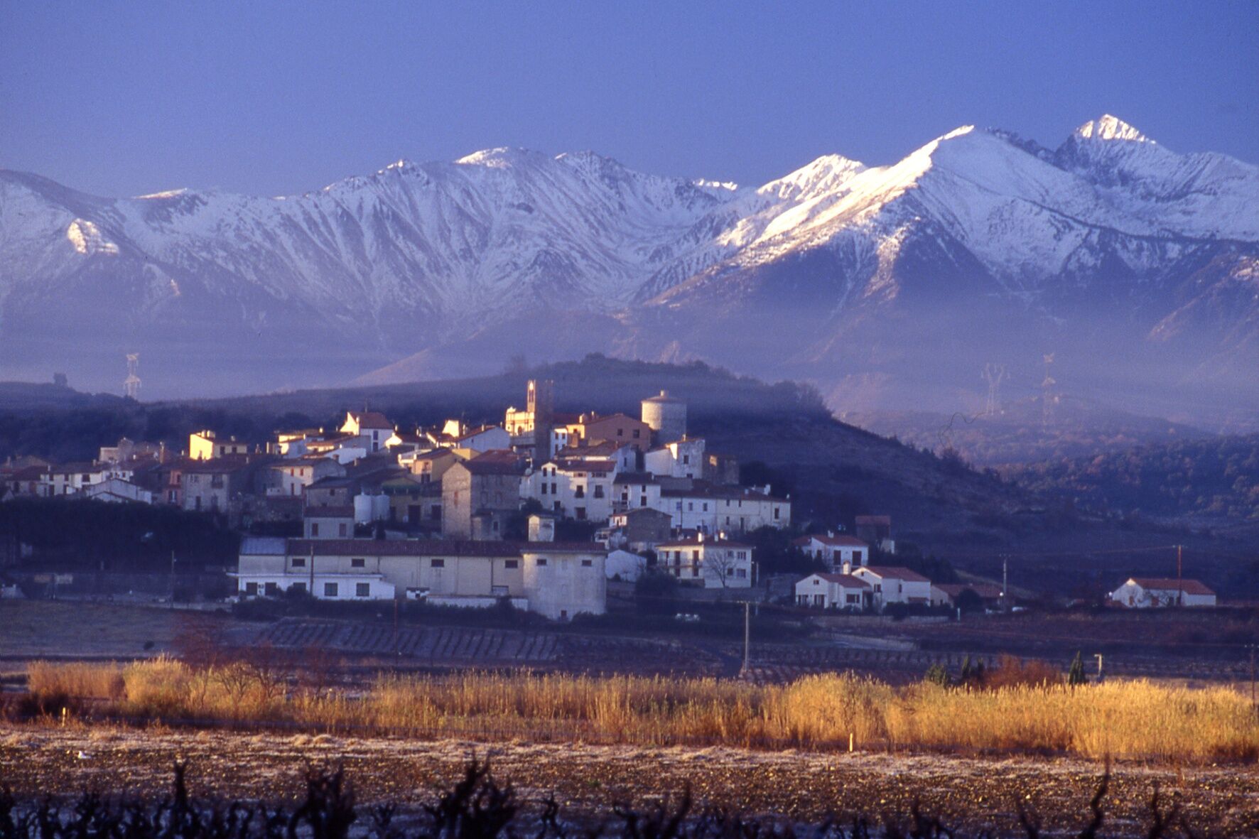
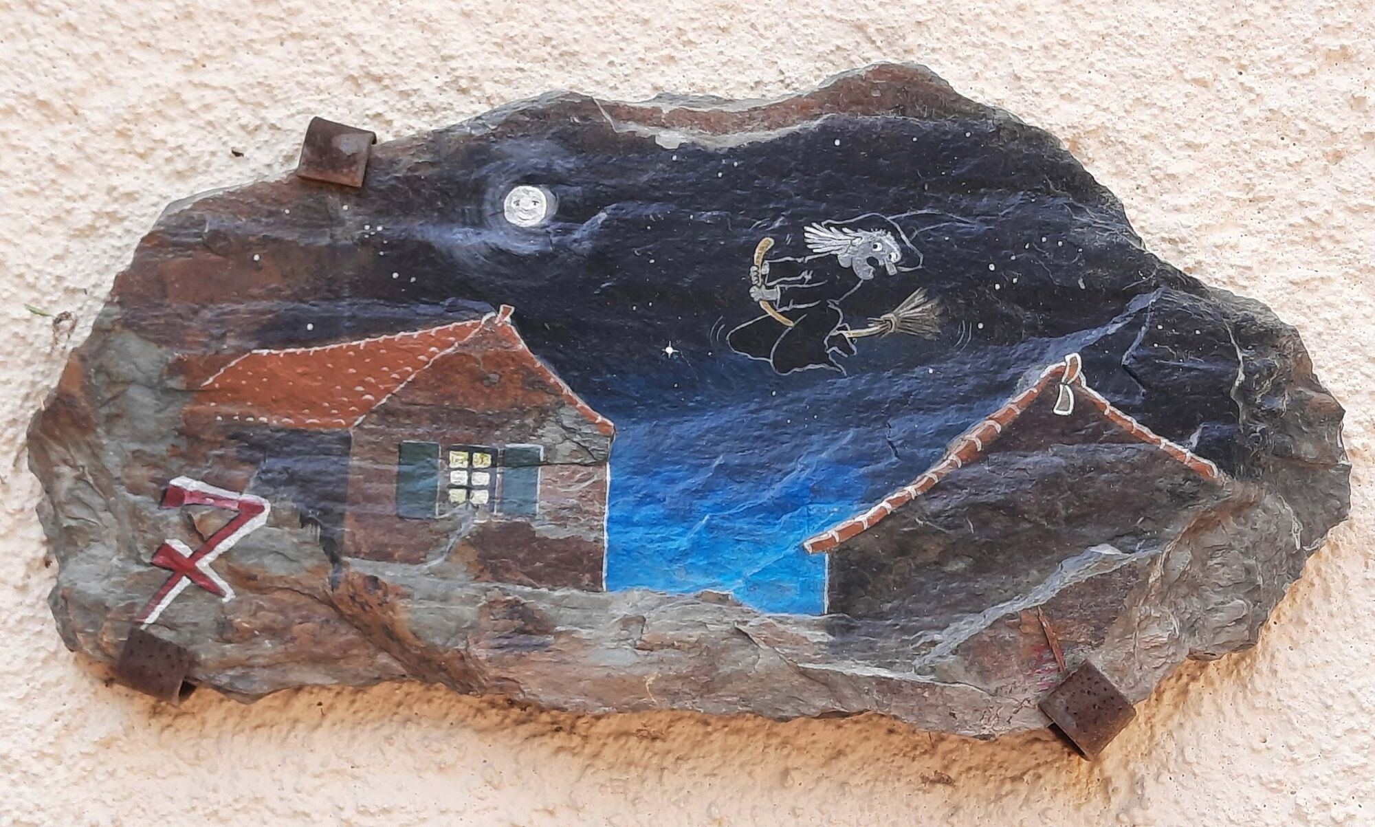
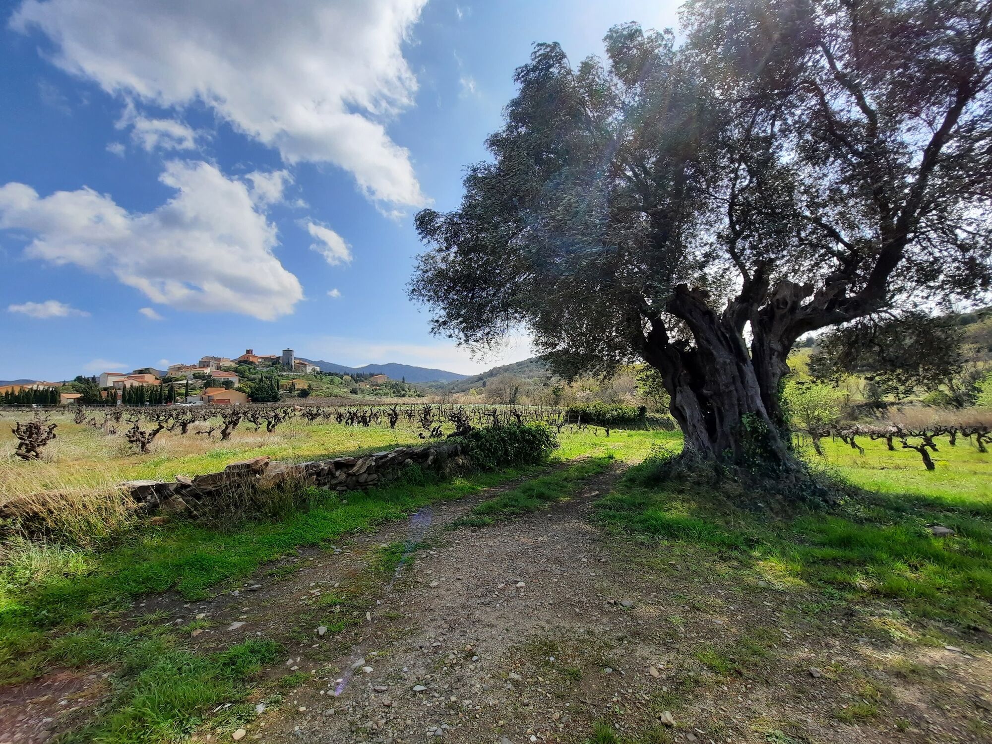
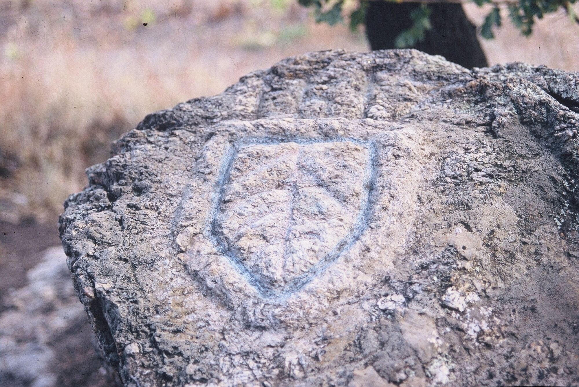
What border do we mean here ? It is the border which dates back to a long and rich time in history, before November 7, 1659, the date of the famous Treaty of the Pyrenees. The northwestern part of the current department used to belong to the kingdom of France; the southeastern part to the Kingdom of Spain. The treaty drew a fateful line which cut the Montner / Latour-de-France / Estagel triangle through the middle. In fact, some markers still survive, under the groves or at near low walls. This trail offers varied landscape of hills taking you through small tracks and pathways.
- Nehézség
-
közepes
- Értékelés
-
- Útvonal
-
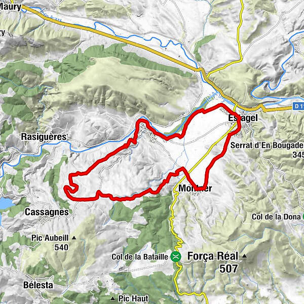
Montner0,0 kmCuxous5,0 kmChapelle Saint-Martin8,3 kmÉglise Notre-Dame-de-l'Assomption11,7 kmLatour-de-France11,8 kmEstagel16,8 kmMontner20,5 kmAuberge du Cellier20,5 km
- Legjobb szezon
-
janfebrmárcáprmájjúnjúlaugszeptoktnovdec
- Legmagasabb pont
- 327 m
- Magassági profil
-
 © outdooractive.com


-

-
SzerzőA túra Circuit VTT : Autour de la frontière de 1258 - MONTNER/ESTAGEL a outdooractive.com feltéve, hogy.
GPS Downloads


Általános információ
Frissítő megálló
Kulturális/Történelmi
Bennfentes tipp
Flora
Ígéretes
További túrák a régiókban