

© Kurzschuss - St.Gallen-Bodensee Tourismus

© Damian Imhof - St.Gallen-Bodensee Tourismus

© Kurzschuss - St.Gallen-Bodensee Tourismus

© Kurzschuss - St.Gallen-Bodensee Tourismus

© Mattias Nutt Photography - St.Gallen-Bodensee Tourismus
- Rövid leírás
-
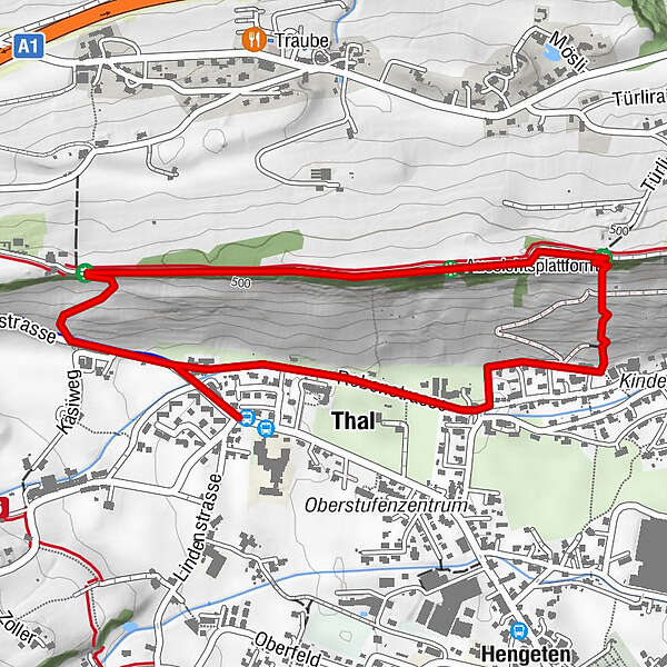
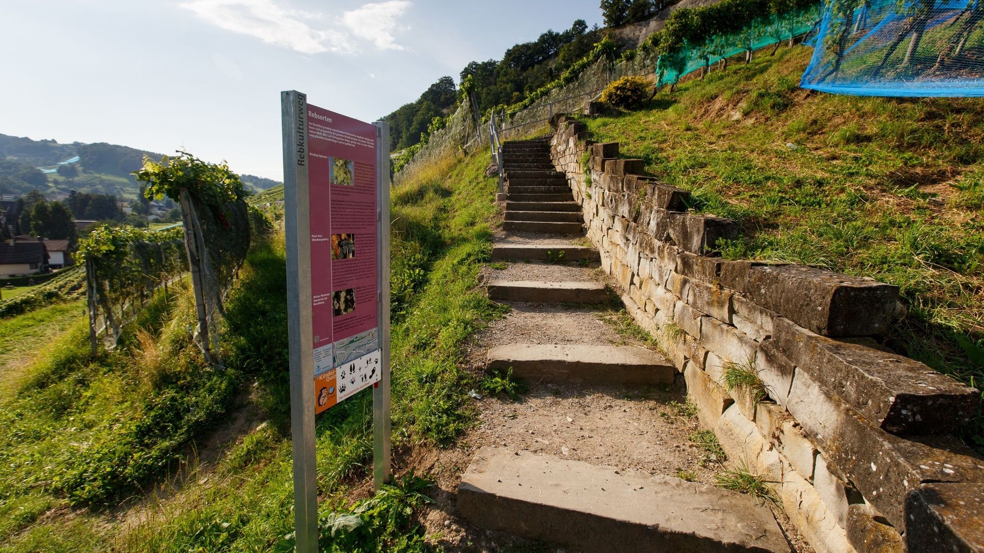
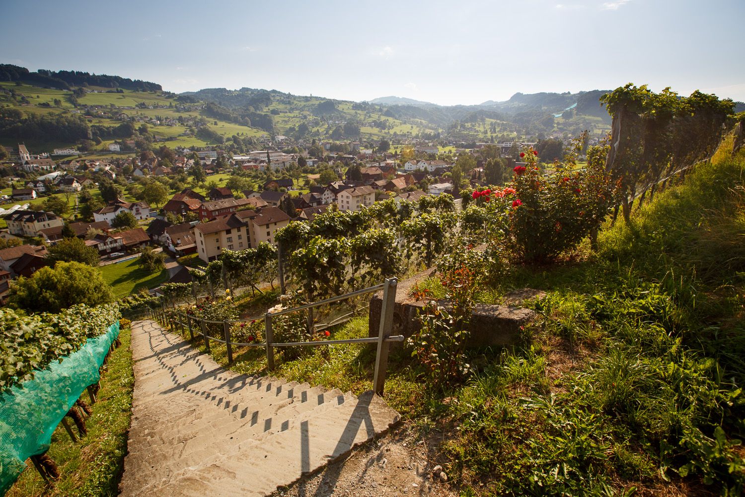
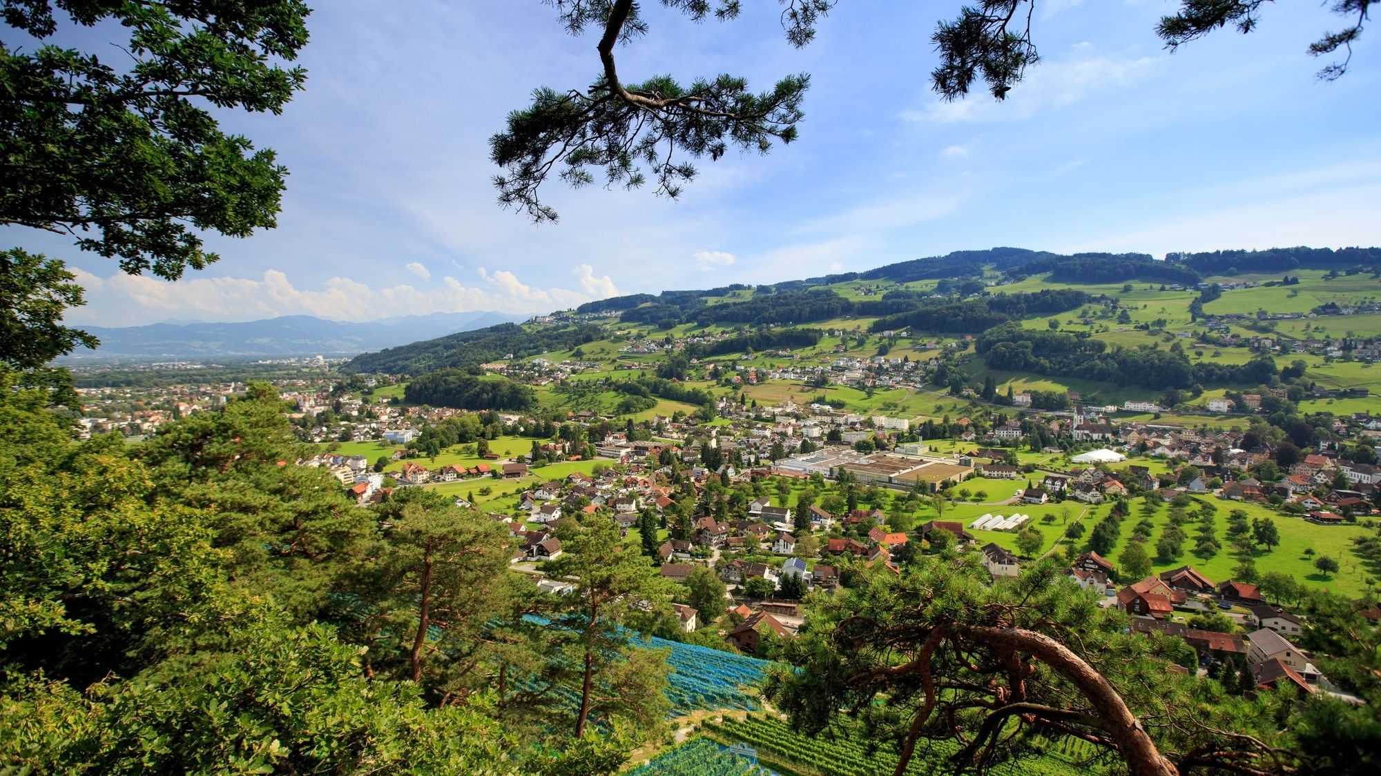
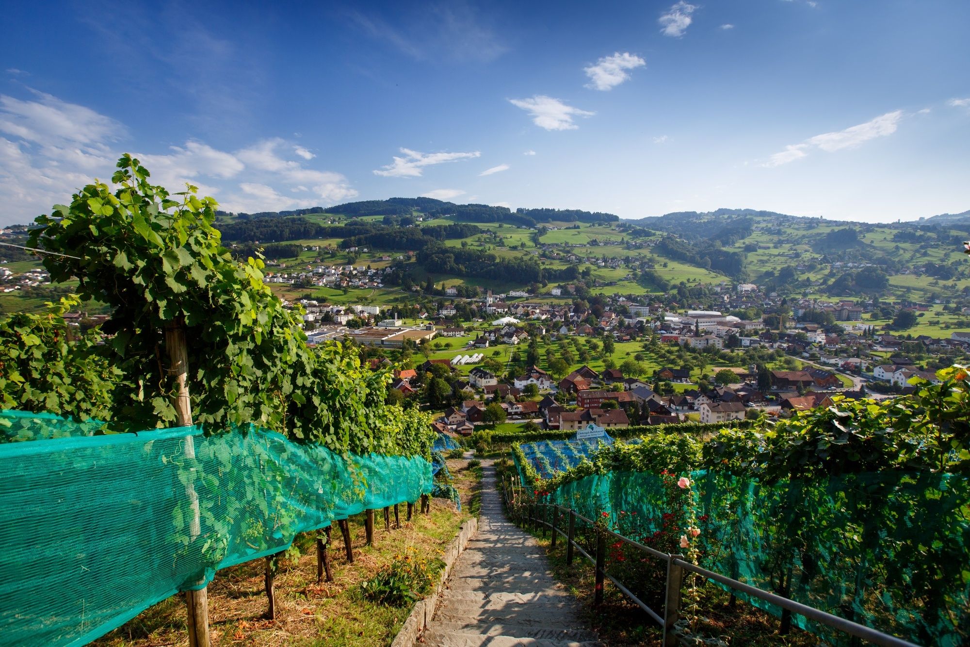
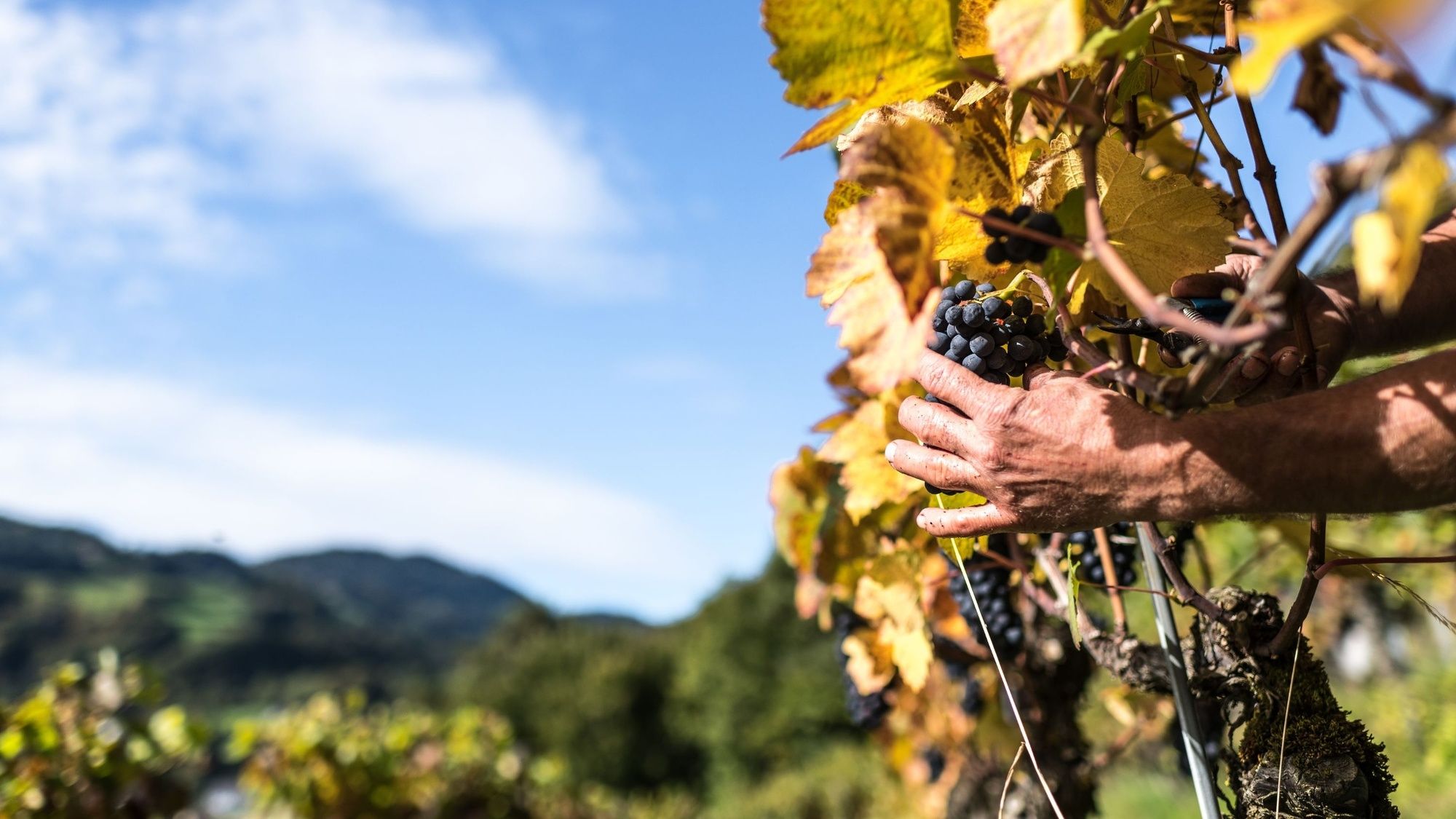
The beautiful tour through the Thal vineyards provides all sorts of interesting facts and information about the Buechberg wine culture and offers an unforgettable view of the Rhine Valley.
- Nehézség
-
könnyű
- Értékelés
-
- Útvonal
-
Aussichtsplattform1,2 kmThal (415 m)2,5 km
- Legjobb szezon
-
janfebrmárcáprmájjúnjúlaugszeptoktnovdec
- Legmagasabb pont
- 521 m
- Úti cél
-
Thal, Bushaltestelle Linde
- Magassági profil
-
 © outdooractive.com
- Szerző
-
A túra Thal wine-growing trail a outdooractive.com feltéve, hogy.
GPS Downloads


Általános információ
Frissítő megálló
Ígéretes
További túrák a régiókban
-
St. Gallen - Bodensee
2067
-
St. Gallen und Umgebung
726
-
Lutzenberg
168


