Trail Running (Bognanco - Alpe Foppiano - Domodossola )

Trailrunning

© Brig Simplon Tourismus AG - Lena Imstepf

© Brig Simplon Tourismus AG - Lena Imstepf

© Brig Simplon Tourismus AG - Lena Imstepf


- Rövid leírás
-
Der Stockalperweg (ViaStockalper), ein vor mehr als 300 Jahren von Kaspar Stockalper ausgebauter Saumweg, ist seit einigen Jahren als Kulturwanderung wieder zu neuem Leben erwacht. Er eignet sich auch fürs Trail Running.
- Nehézség
-
közepes
- Értékelés
-
- Útvonal
-
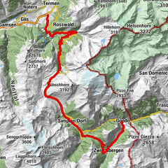
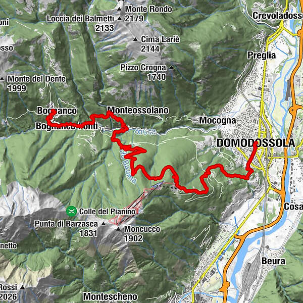
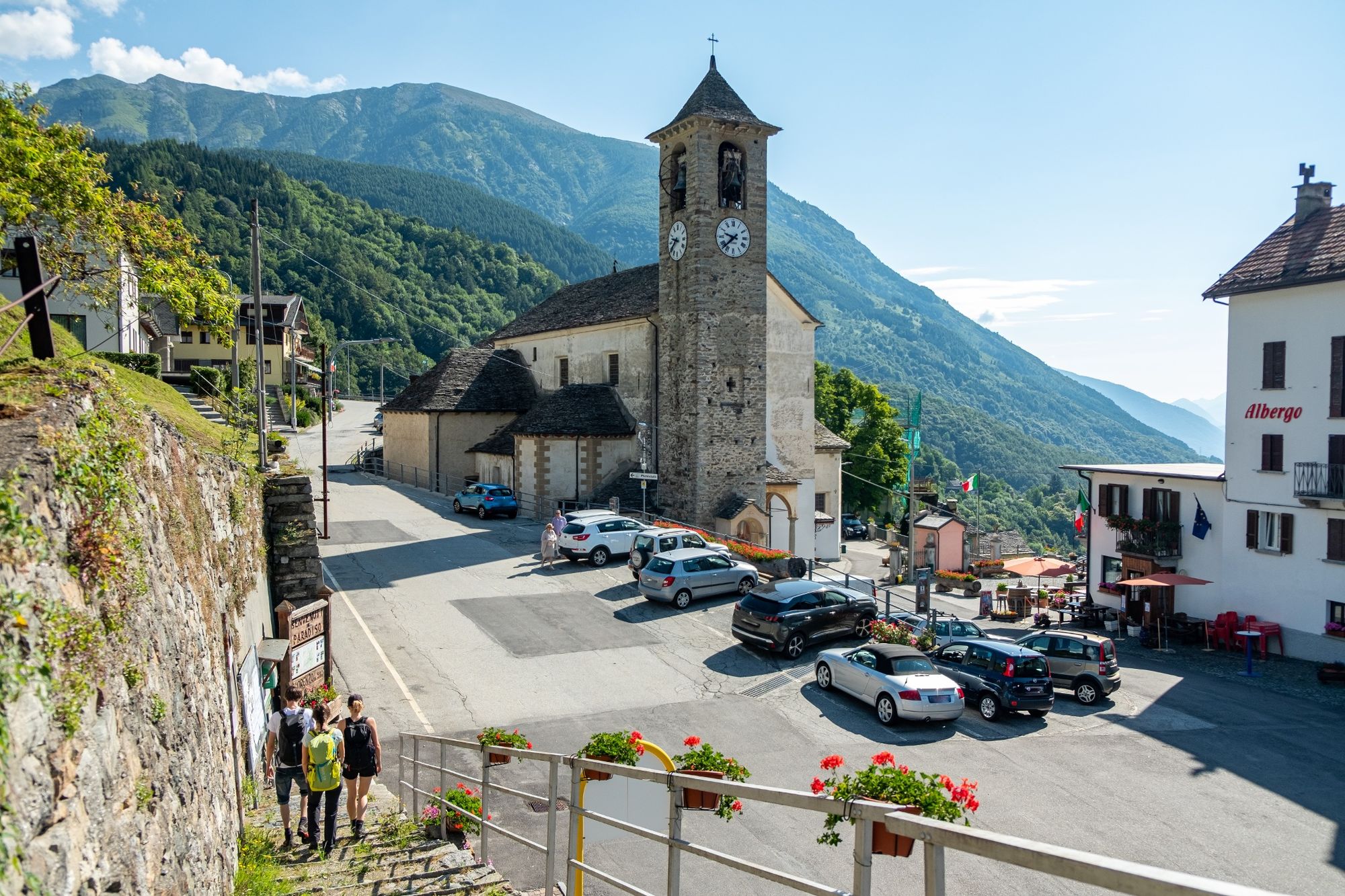
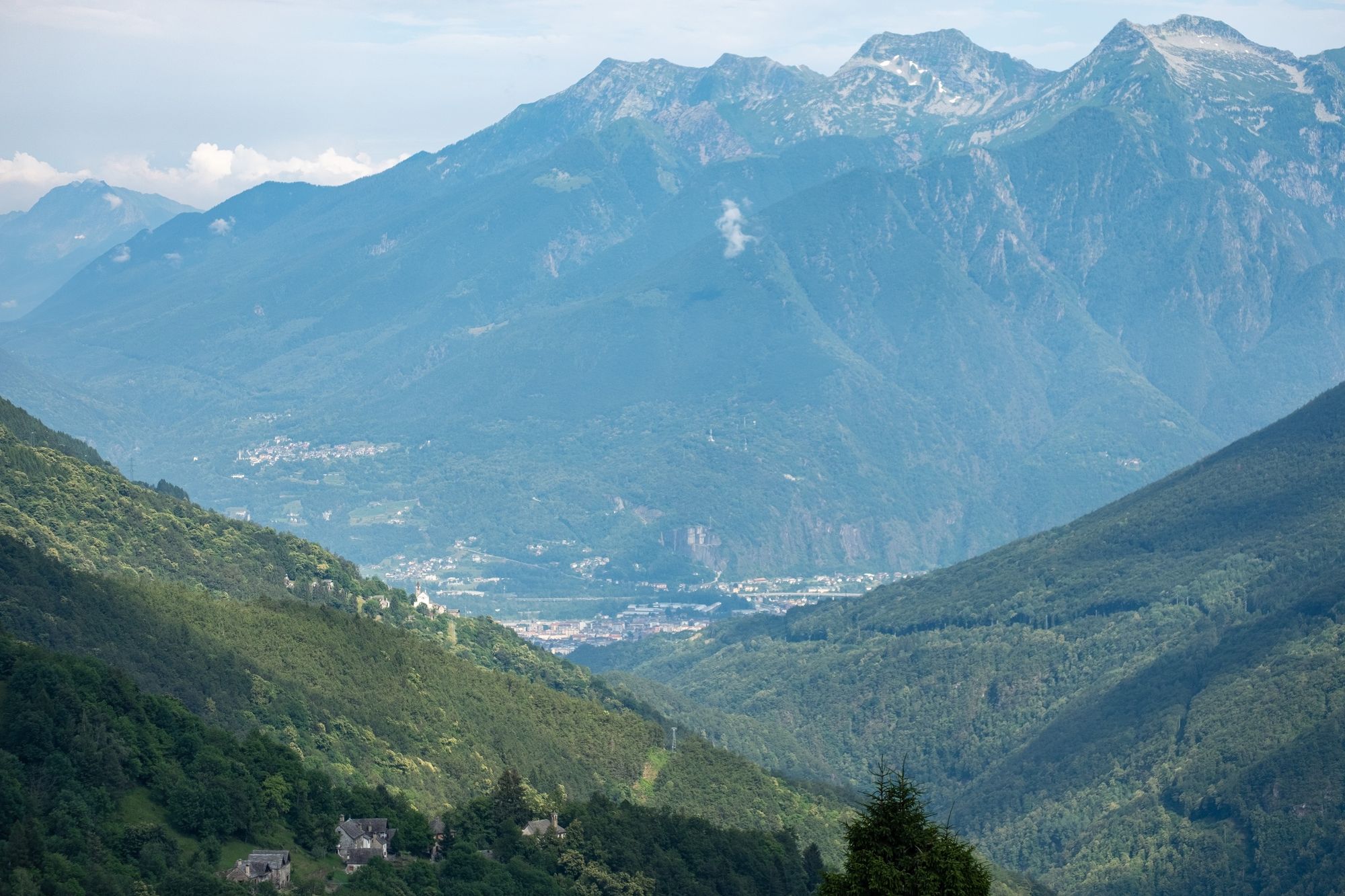
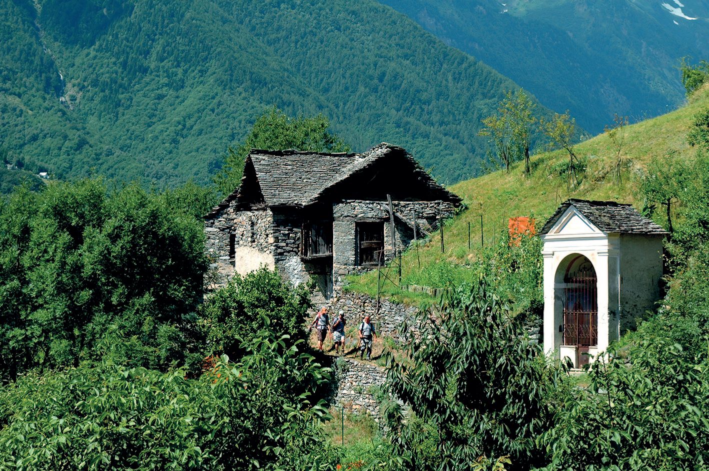
Graniga (1.113 m)Bacinasco0,1 kmSan Lorenzo (980 m)0,1 kmBognanco0,2 kmCamisanca (890 m)0,6 kmOratorio di Santa Chiara1,1 kmOratorio della Beata Vergine Annunciata1,6 kmBognanco Fonti (669 m)1,6 kmMonsignore (724 m)3,3 kmCios3,5 kmOratorio di San Rocco del Dagliano4,1 kmPianezza (484 m)5,0 kmCascata Variola5,7 kmChiesa di San Marco5,8 kmSan Marco5,8 kmBei (741 m)6,9 kmAlpe Selvagaggia.8,2 kmCascina Ve (996 m)9,4 kmOratorio di San Bernardo12,5 kmLa Roccia12,9 kmVallesone (665 m)15,4 kmCroppo15,9 kmQuana16,6 kmPremone16,6 kmCruppi16,6 kmChapel X - Jesus is stripped of his garments and offered wine to drink, mingled withgall17,3 kmChapel VIII -Jesus consoles the pious women17,4 kmChapel XI - The Crucifixion17,4 kmChapel IX- The Third Fall17,4 kmChapel VII - The Second Fall17,4 kmChapel VI - The Veronica17,5 kmChapel V - The Cyrenean17,7 kmChapel IV - Jesus meets his mother17,9 kmChapel II- Imposition of the Cross18,0 kmChapel III - The First Fall18,0 kmChapel I - Jesus before Pilate18,1 kmMadonna della Neve18,5 kmDomodossola18,8 kmChiesa di San Giuseppe delle Monache18,9 km
- Legjobb szezon
-
janfebrmárcáprmájjúnjúlaugszeptoktnovdec
- Legmagasabb pont
- 1.182 m
- Úti cél
-
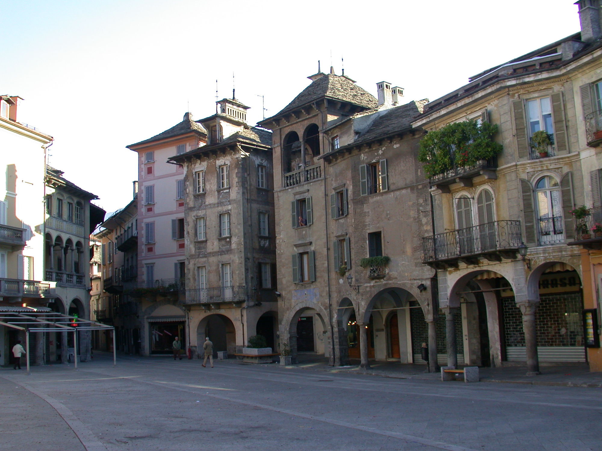
Domodossola
- Magassági profil
-
 © outdooractive.com
- Szerző
-
A túra Trail Running (Bognanco - Alpe Foppiano - Domodossola ) a outdooractive.com feltéve, hogy.
GPS Downloads


További túrák a régiókban