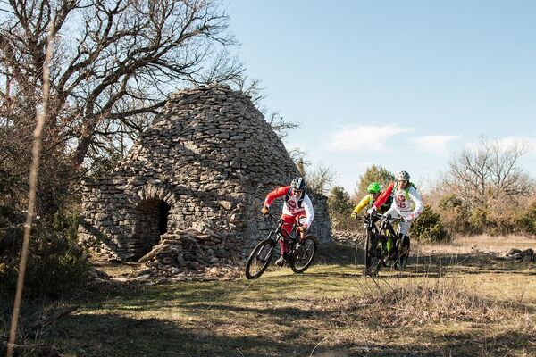
© © Maison du Parc du Luberon

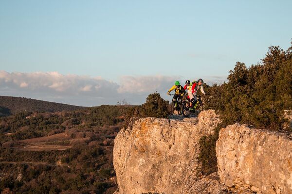
© © Maison du Parc du Luberon

© © Maison du Parc du Luberon


- Rövid leírás
-
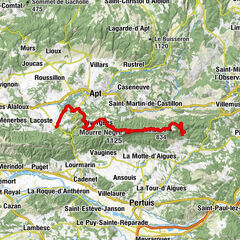
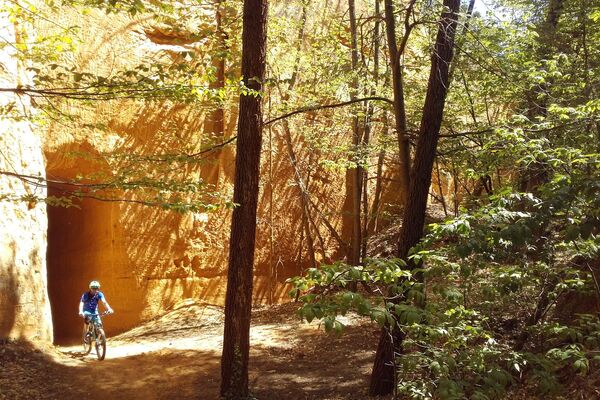
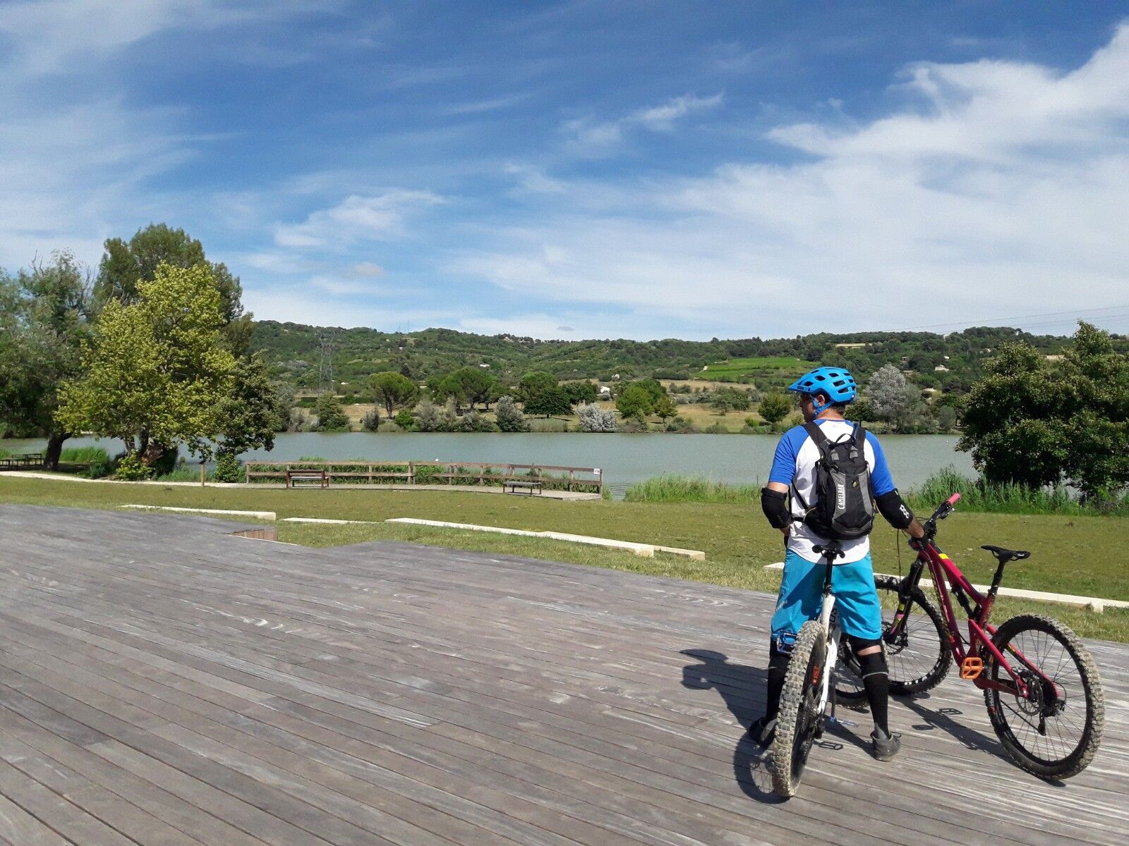
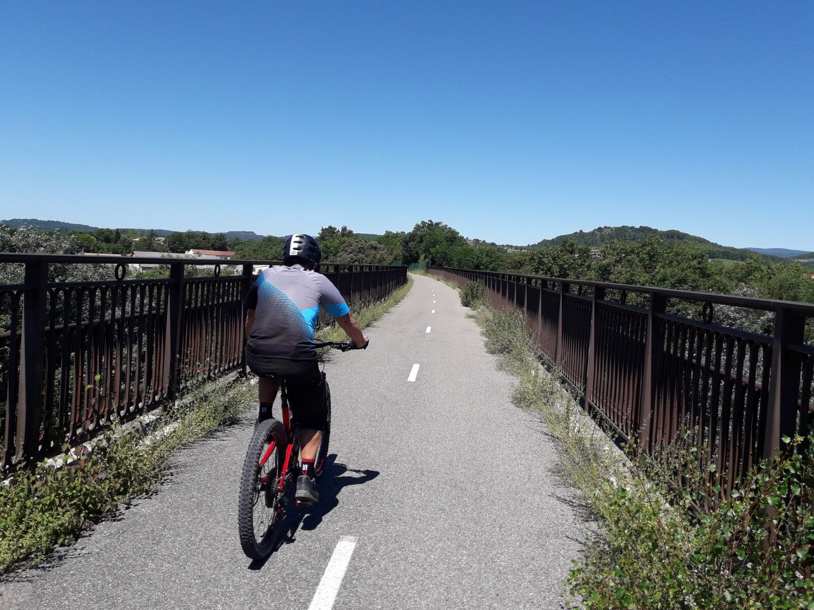
Itinerary linking the town of Apt and the village of Gargas, or vice versa (signposted in both directions), via the Plan d'Eau de La Riaille and the Calavon cycle route (EV8).
- Nehézség
-
könnyű
- Értékelés
-
- Útvonal
-
AptRestaurant le pied dans l'eau1,6 kmLa Paillote1,8 kmGargas4,3 km
- Legjobb szezon
-
janfebrmárcáprmájjúnjúlaugszeptoktnovdec
- Legmagasabb pont
- 281 m
- Úti cél
-
Office de tourisme (Apt) ou devant La Poste (Gargas)
- Magassági profil
-
 © outdooractive.com

- Szerző
-
A túra MTB no.63 - Apt_Gargas connection a outdooractive.com feltéve, hogy.
GPS Downloads


További túrák a régiókban
-
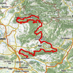
Vaucluse
99
-
Pays d'Apt-Luberon
69