© Verein Südliche Weinstrasse Annweiler am Trifels e.V. - Christina Abele Verein Südliche Weinstrasse Annweiler am Trifels e.V.


© Verein SÜW Annweiler am Trifels, Axel Brachat - Axel Brachat

© Verein SÜW Annweiler am Trifels, Axel Brachat - Axel Brachat

- Rövid leírás
-
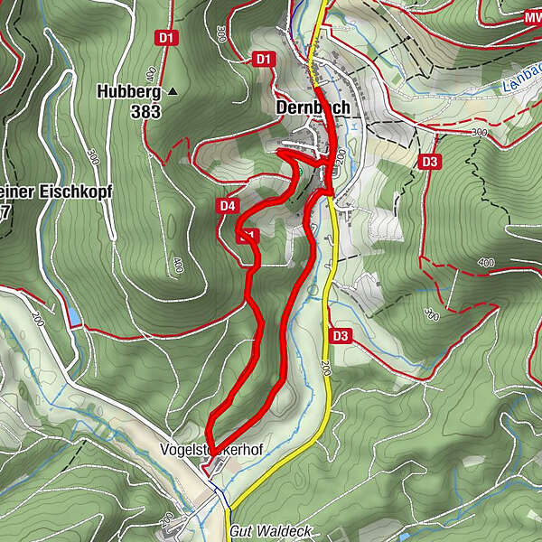
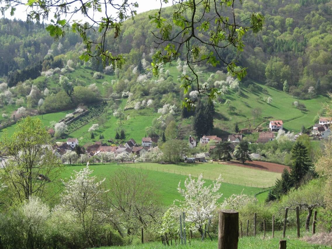
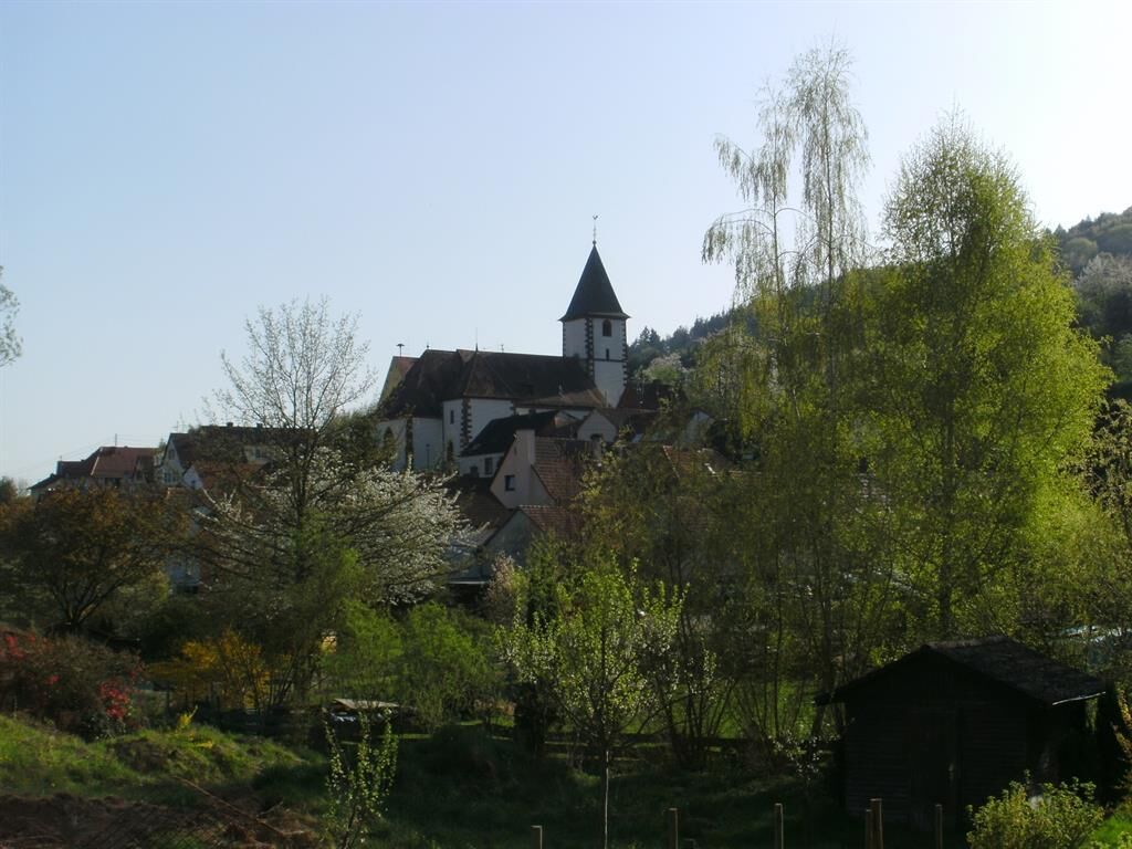
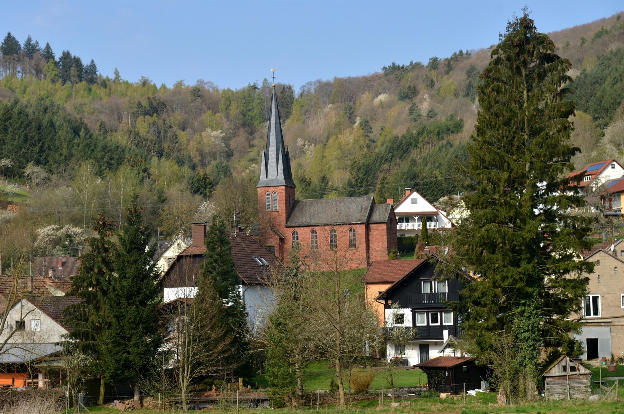
The circular hiking trail through the Dernbach Valley makes it possible to experience the core zone in the Pfälzerald-Nordvogesen Biosphere Reserve.
- Nehézség
-
közepes
- Értékelés
-
- Útvonal
-
Katholische Kirche Dernbach0,1 kmDernbach0,1 kmProtestantische Gustav-Adolf-Kirche Dernbach0,1 kmZum Belzenikel0,2 kmVogelstockerhof2,2 kmProtestantische Gustav-Adolf-Kirche Dernbach3,9 kmZum Belzenikel4,0 kmDernbach4,1 kmKatholische Kirche Dernbach4,1 km
- Legjobb szezon
-
janfebrmárcáprmájjúnjúlaugszeptoktnovdec
- Legmagasabb pont
- 259 m
- Úti cél
-
At the car park in the centre of 76857 Dernbach
- Magassági profil
-
 © outdooractive.com
-

-
SzerzőA túra Dernbach - D4 Dernbachtalweg a outdooractive.com feltéve, hogy.
GPS Downloads


További túrák a régiókban
-
Pfalz
1512
-
Trifelsland
1061
-
Landau in der Pfalz
391