


Glemmtal cycle route


The Glemmtal cycle route is part of the extensive network of cycle paths in the Salzburg region and thus offers a direct connection to the Tauern cycle path. Starting from Maishofen, you cycle from the...
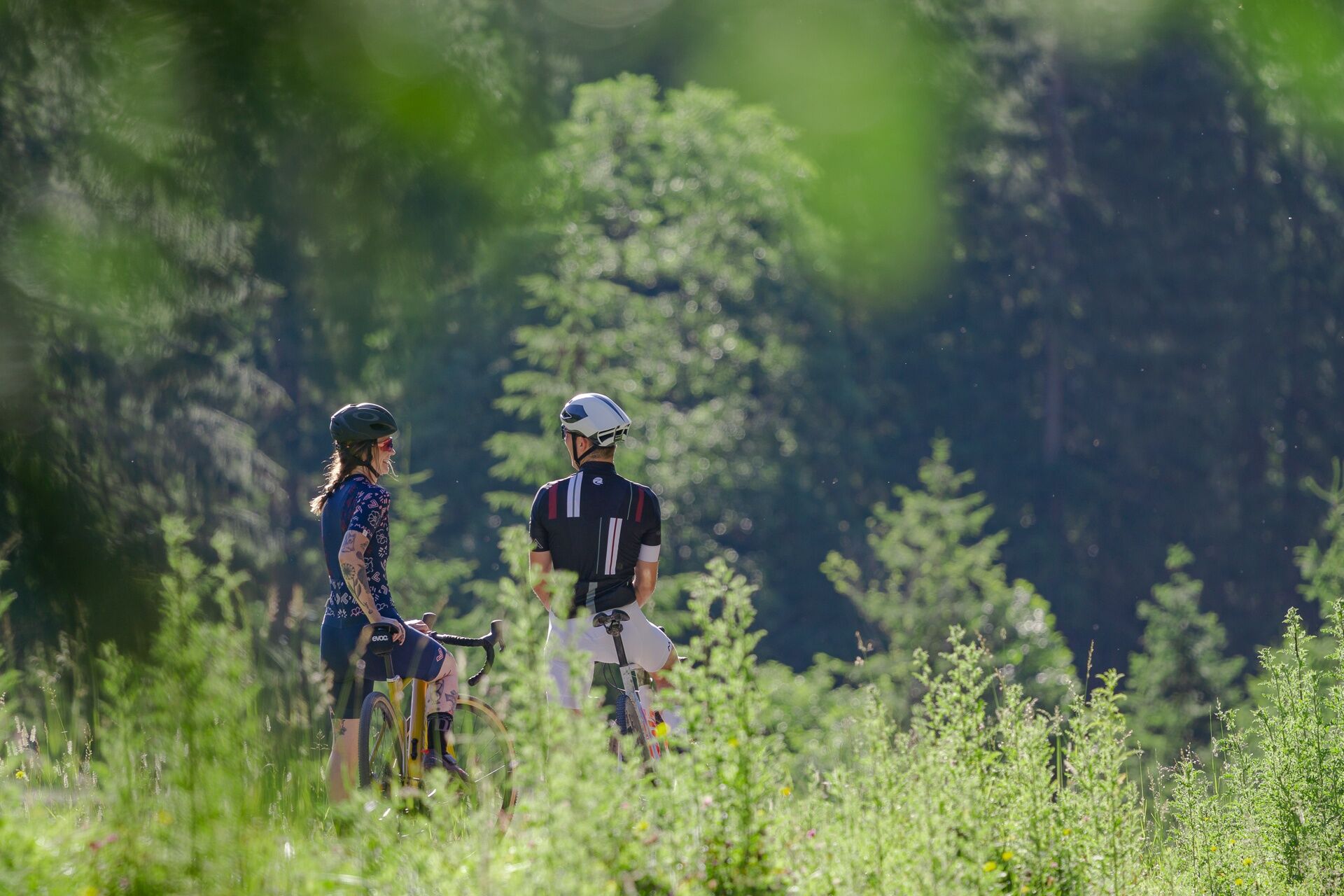
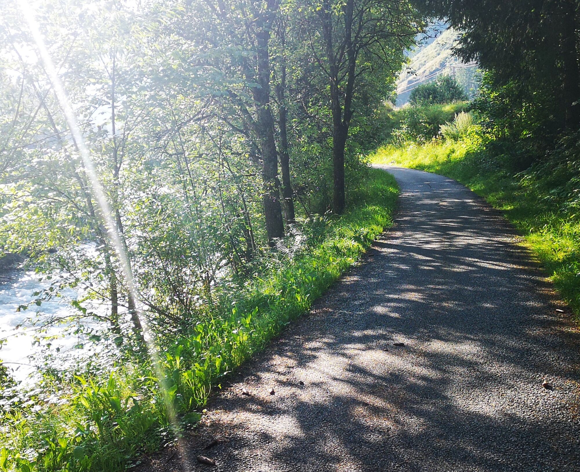
The Glemmtal cycle route is part of the extensive network of cycle paths in the Salzburg region and thus offers a direct connection to the Tauern cycle path. Starting from Maishofen, you cycle from the church in the centre of Maishofen towards Kirchham and take the official turn-off there to Saalbach.
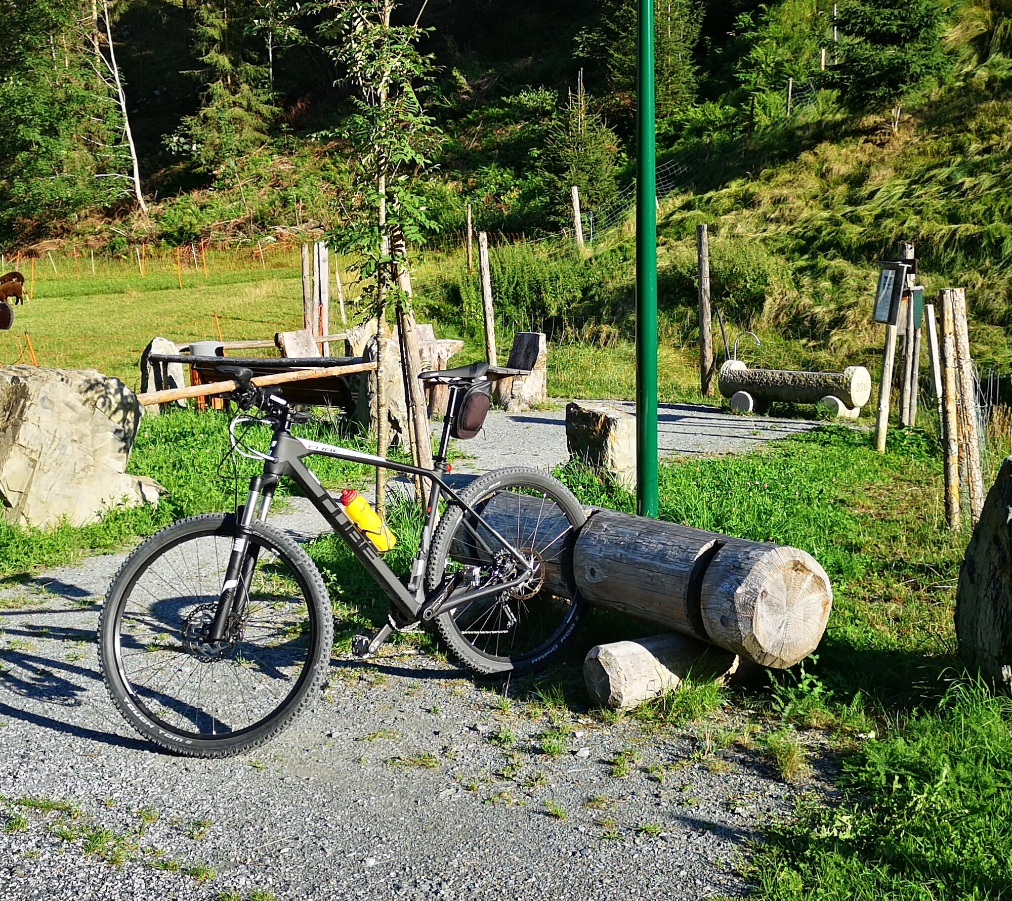
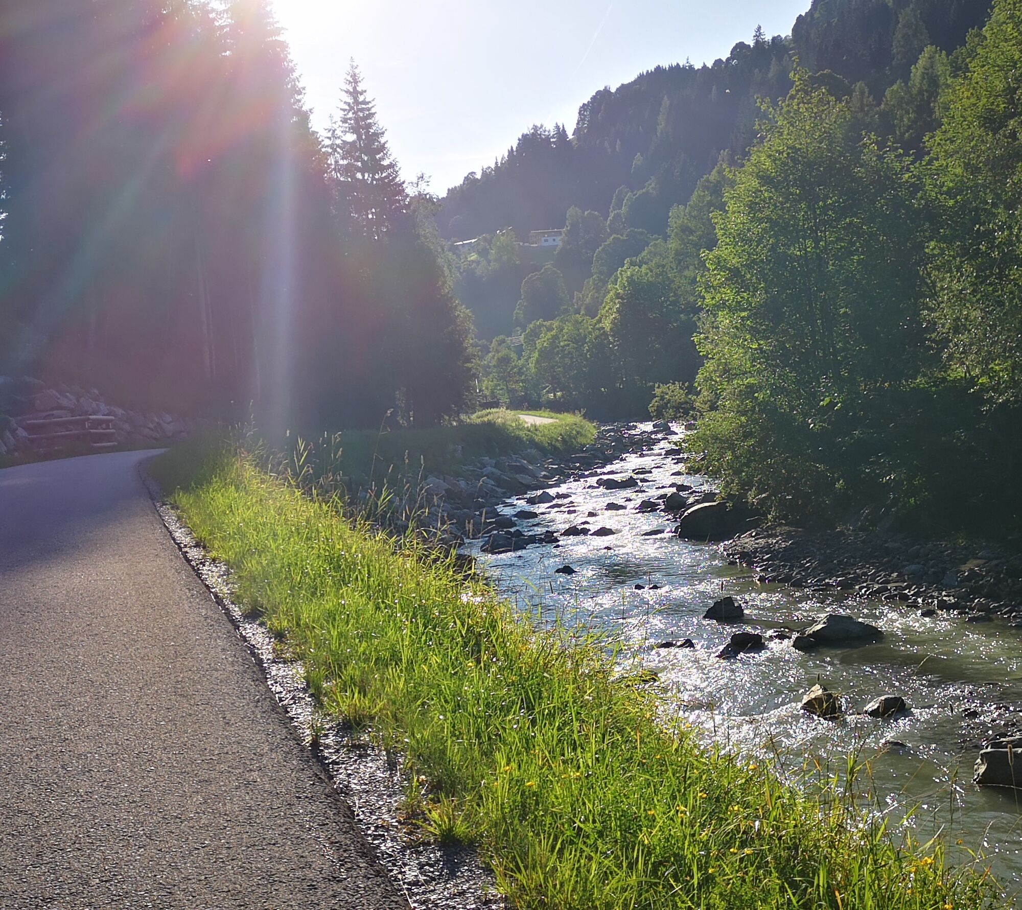
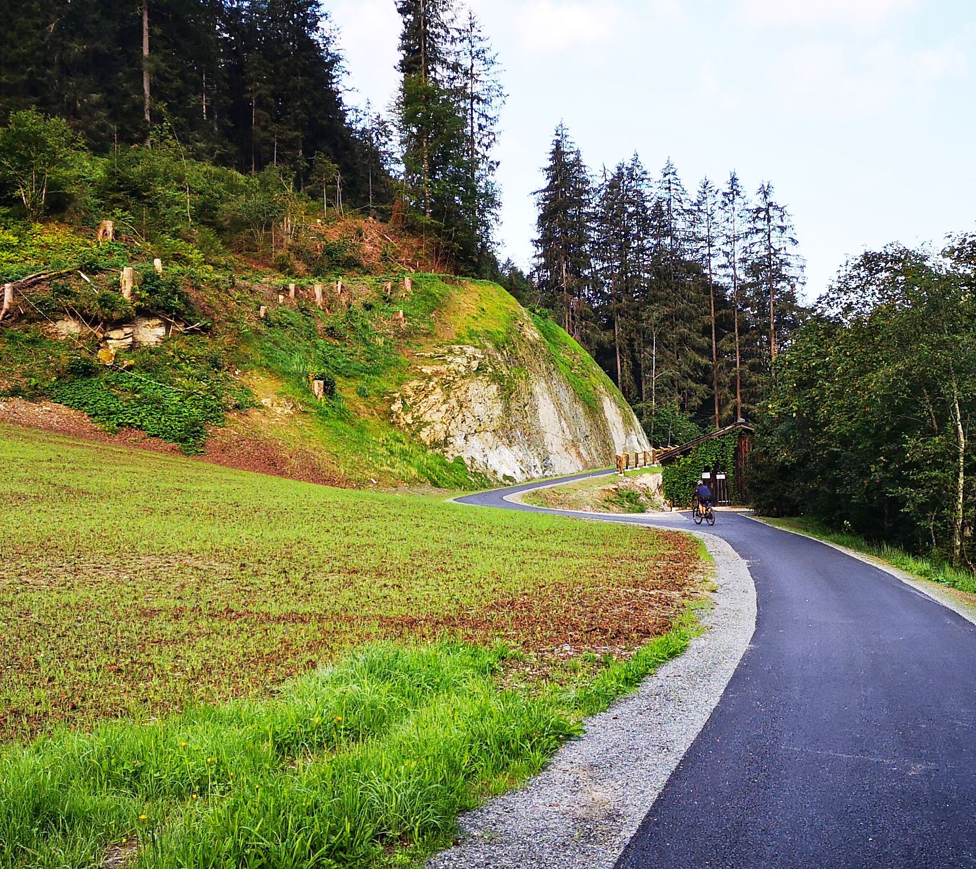
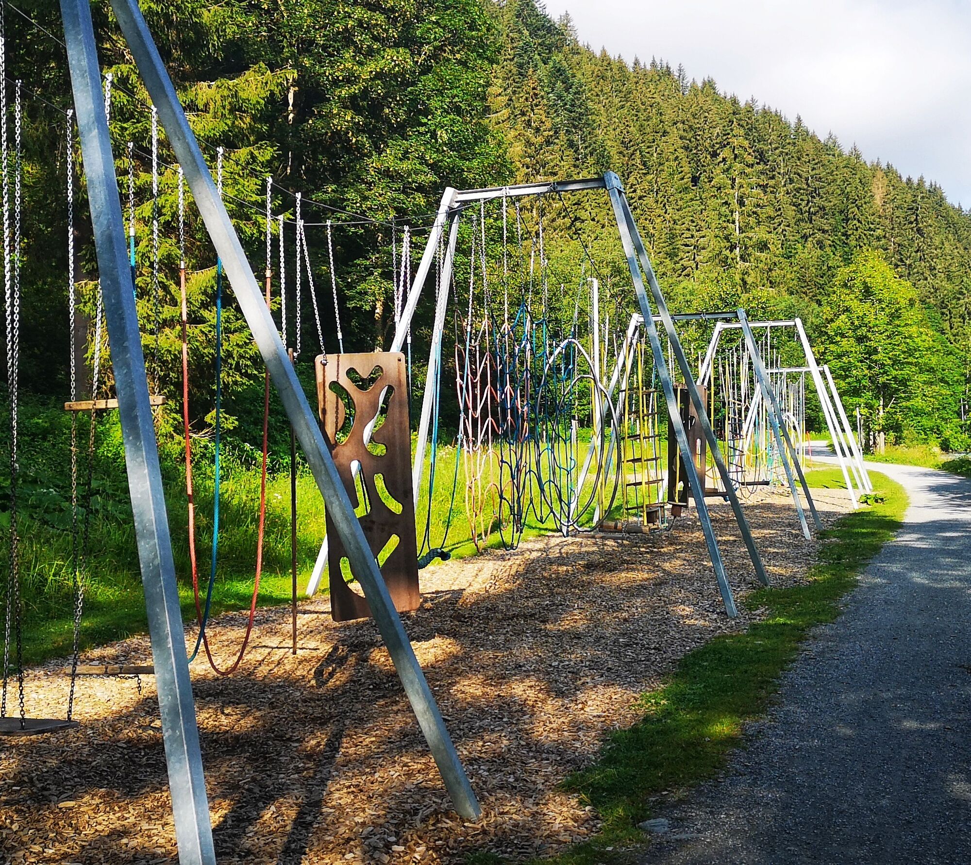
Following the signs, after a short time you will be on the newest section of the cycle path, which was completed in 2020. This long-awaited paved connection to the rest of the cycle path leads to Viehhofen and continues along the promenade to Saalbach. You continue on the official cycle path to Hinterglemm. Here you pass through the town centre of Hinterglemm to the height of Forellenhof / Pfefferweg, then follow the signs to the valley head on a gravel path. Upon reaching the picturesque valley head, a final ascent to the managed Lindlingalm is recommended, marking the end of this cycle route. The same route is recommended for the return journey.

Igen
A stop-off at the numerous inns.
A túra webkamerái
-
Schmittenhöhe
-
Schattberg - West
-
Asitz Gipfel
-
Berghotel Seidl-Alm
-
Schattberg Westgipfel
-
Hinterglemm Dorf
-
Kohlmais Tal
-
Hinterglemm Tal
-
Sonnkogel
-
Schmittenhöhe
-
Mitterberg bei Thumersbach
-
Zell am See / Hotel Berner
-
Asitz Bergstation
-
Schmittenhöhe
-
Schmittenhöhe
-
Hinterglemm - Saalbach
-
Großer Asitz / Gipfelkreuz
-
Thumersbach
-
Zwölferkogel
-
Saalbach - Alpinresort Sport & Spa
-
Zwölferkogel
-
Maishofen Sausteige
-
Maishofen - Schloss Kammer
-
Saalbach-Hinterglemm - Kohlmais
-
Leogang - Grosser Asitz
-
Maishofen Dorfplatz
-
zellamseeXpress
-
Martenhof
-
Saalbach-Hinterglemm - Reiterkogel
-
Wohlfühlhotel-Johanneshof
-
Eberharthof - Saalbach-Hinterglemm
Népszerű túrák a környéken
-
4,7
Tristkogel
nehézKirándulás 15,6 km -
4,5
Birnbachloch Leogang, Österreich
közepesKirándulás 5,18 km -
4,1
Passauer Hütte
nehézKirándulás 4,14 km -
4,5
Sigmund Thun Klamm
könnyűKirándulás 3,10 km -
4,4
Birnbachloch
közepesKirándulás 6,40 km -
5,0
Leoganger SOUTH
nehézVia ferrata 4,08 km -
4,8
Sigmund Thun Klamm, Klammsee, Bürgkogel
könnyűKirándulás 4,56 km -
4,2
Spielbergalmen
közepesKirándulás 10 km -
5,0
Manlitzkogel
nehézKirándulás 13,4 km -
4,5
Lettlkaser
közepesKirándulás 4,40 km
Túrázás & nyomkövetés


Ne maradjon le az ajánlatokról és az inspirációról a következő nyaralásához!
Az Ön e-mail címe hozzá lett adva a levelezőlistához.