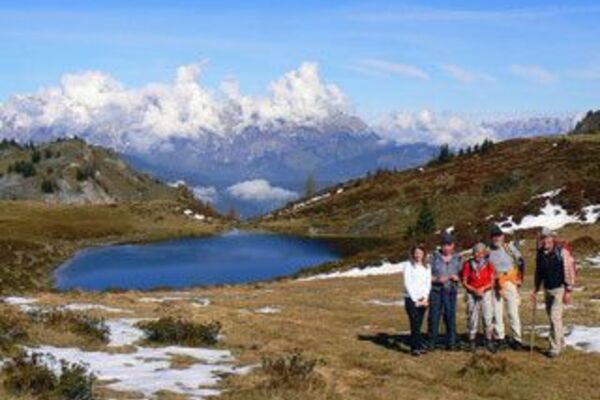
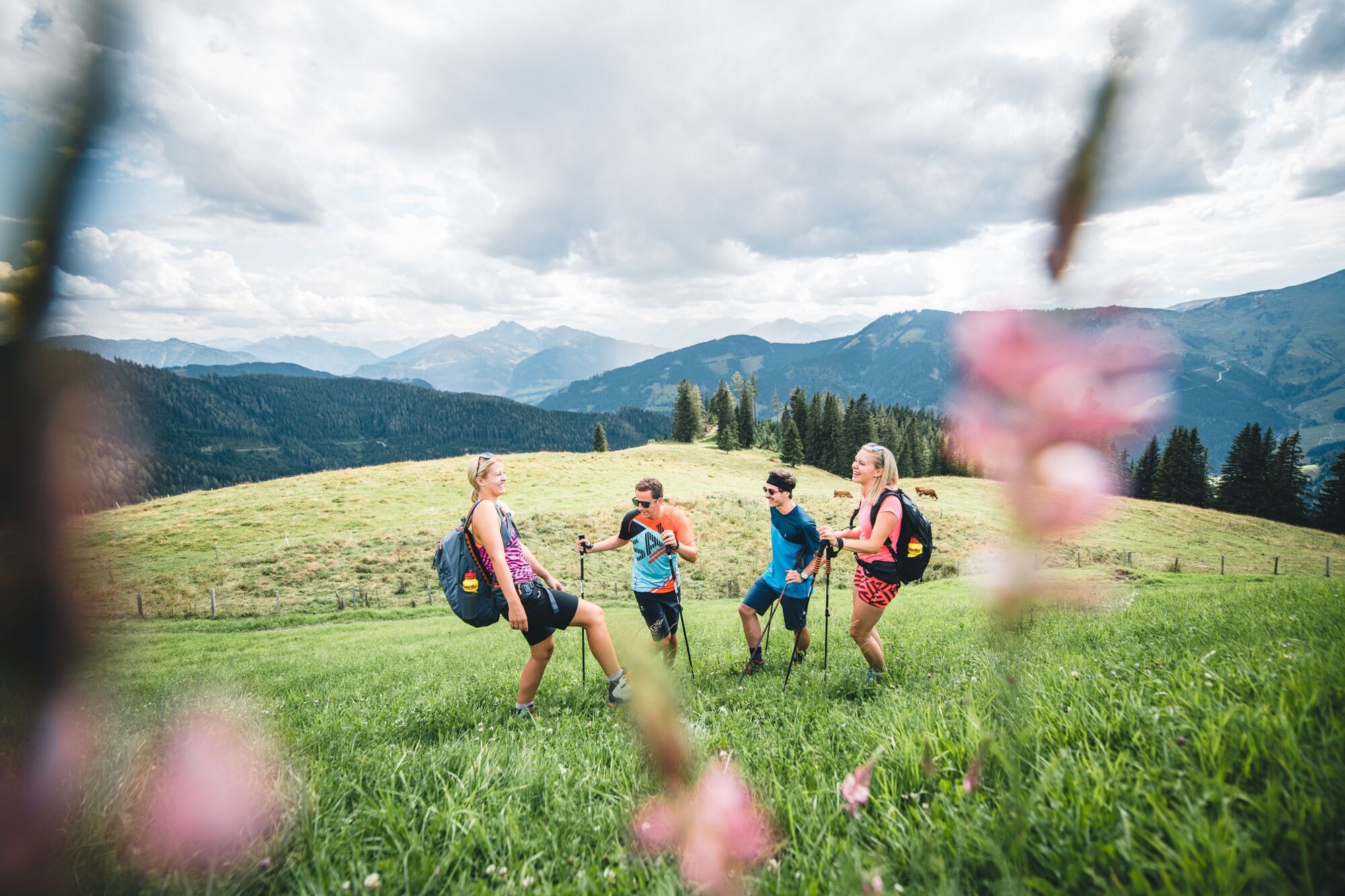
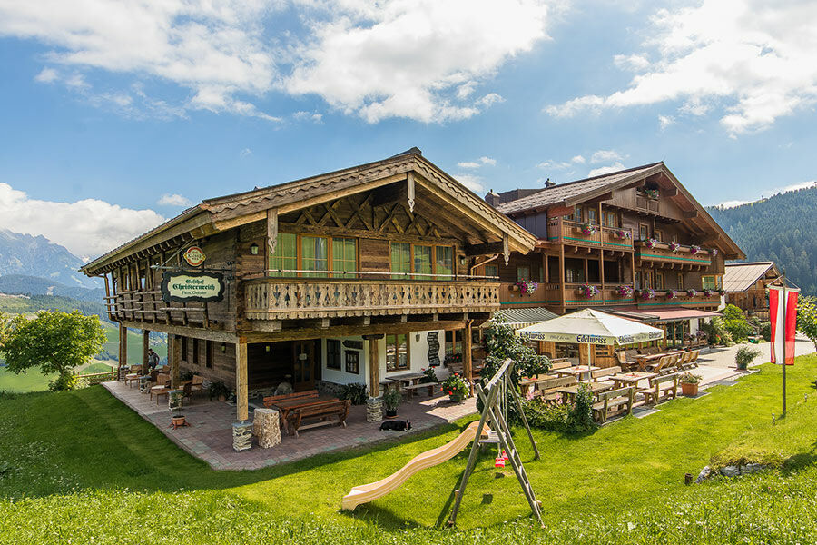
Hike via the Berggasthof Christernreith to the Wastlalm

Kirándulás


- Rövid leírás
-
This beautiful hike leads from Unterberg via the mountain inn Christernreith and on via the Thoraualm to the Wastlalm.
- Nehézség
-
közepes
- Értékelés
-
- Útvonal
-
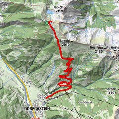
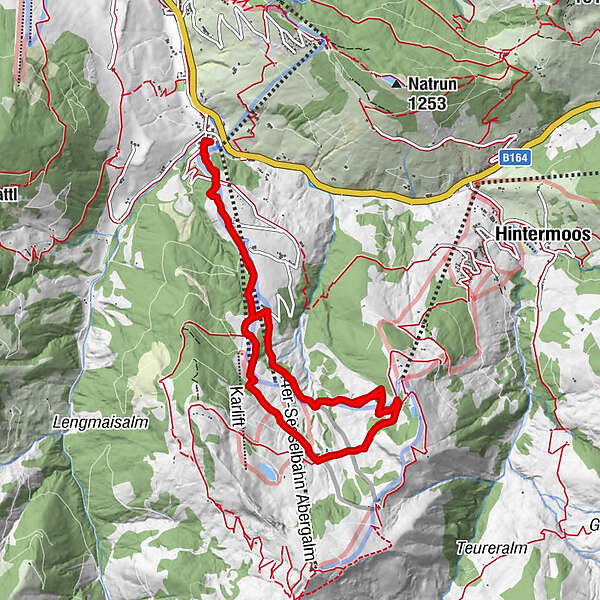
Schönanger1,1 kmSchönanger2,4 kmAbergalm3,5 kmKröllalm4,8 kmAbergalm5,9 kmChristernreith6,6 kmSchönanger7,5 kmChristernreith10,6 kmAbergalm11,3 kmKröllalm12,4 km
- Legjobb szezon
-
janfebrmárcáprmájjúnjúlaugszeptoktnovdec
- Legmagasabb pont
- 1.457 m
- Úti cél
-
Unterberg - Aberg Ski Centre
- Magassági profil
-


- Szerző
-
A túra Hike via the Berggasthof Christernreith to the Wastlalm a outdooractive.com feltéve, hogy.
GPS Downloads


Általános információ
Frissítő megálló
Ígéretes