

© Piesendorf Niedernsill - Tourismusverband Piesendorf Niedernsill
© Tourismusverband Piesendorf Niedernsill - Ferienregion Nationalpark Hohe Tauern - Tourismusverband Piesendorf Niedernsill
- Rövid leírás
-
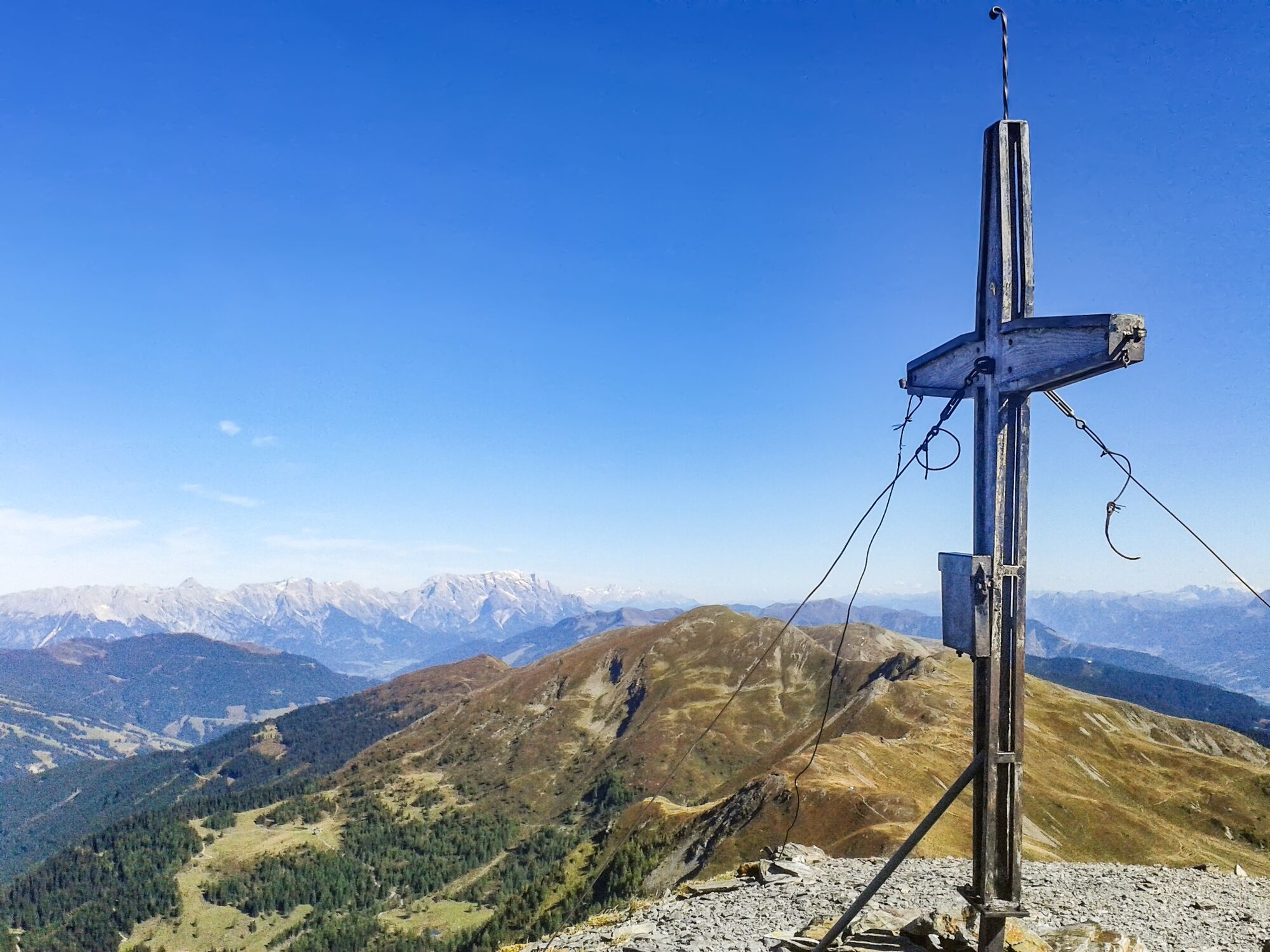
A top-class summit experience: the trail is lined with numerous botanical and faunistic highlights with unique views of many 3000-metre peaks in the Hohe Tauern.
- Nehézség
-
közepes
- Értékelés
-
- Útvonal
-
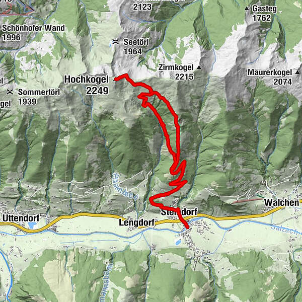
NiedernsillSteindorf0,5 kmGaisbichl2,4 kmHochkogel (2.249 m)12,0 kmKlinglertörl (2.059 m)12,5 kmHochsonnberg Hütte14,2 kmGaisbichl20,5 kmSteindorf22,3 kmNiedernsill22,8 km
- Legjobb szezon
-
janfebrmárcáprmájjúnjúlaugszeptoktnovdec
- Legmagasabb pont
- 2.213 m
- Úti cél
-
Hiking info point Niedernsill
- Magassági profil
-

-

-
SzerzőA túra Niedernsill: Hochkogel a outdooractive.com feltéve, hogy.
GPS Downloads


Általános információ
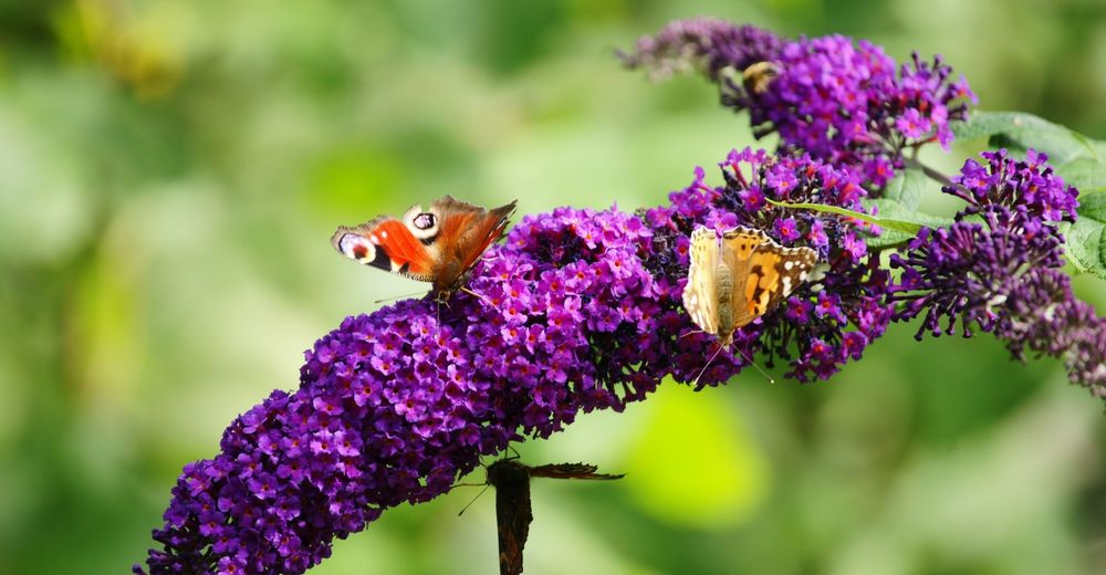
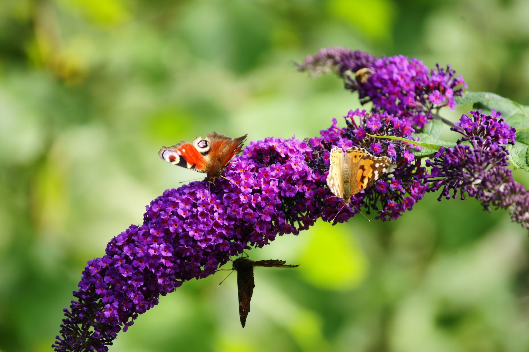
Flora
Fauna
Ígéretes
További túrák a régiókban


