© Erlebnisregion Schladming-Dachstein - Roland Gutwenger

© Erlebnisregion Schladming-Dachstein - Roland Gutwenger

© Erlebnisregion Schladming-Dachstein - Roland Gutwenger

© Erlebnisregion Schladming-Dachstein - Roland Gutwenger

© Erlebnisregion Schladming-Dachstein - Roland Gutwenger

© Erlebnisregion Schladming-Dachstein - Roland Gutwenger

© Erlebnisregion Schladming-Dachstein - Roland Gutwenger

© Erlebnisregion Schladming-Dachstein - Roland Gutwenger

© Erlebnisregion Schladming-Dachstein - Roland Gutwenger

© Erlebnisregion Schladming-Dachstein - Roland Gutwenger
- Rövid leírás
-
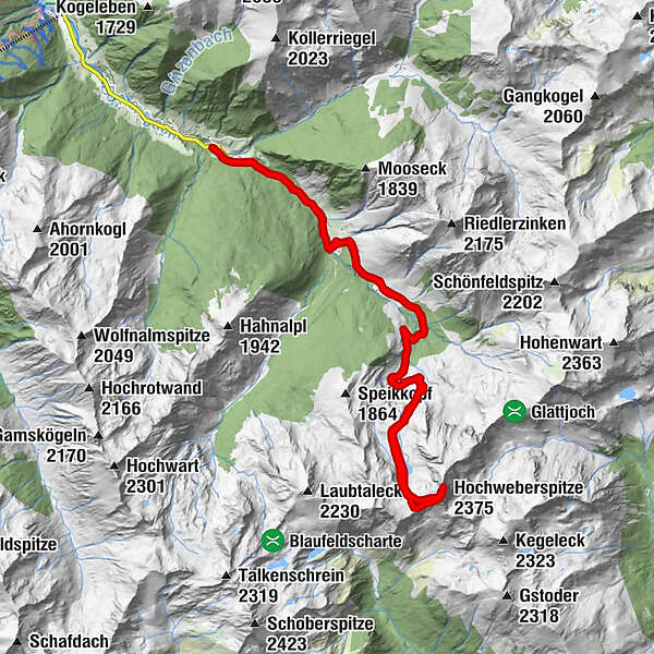
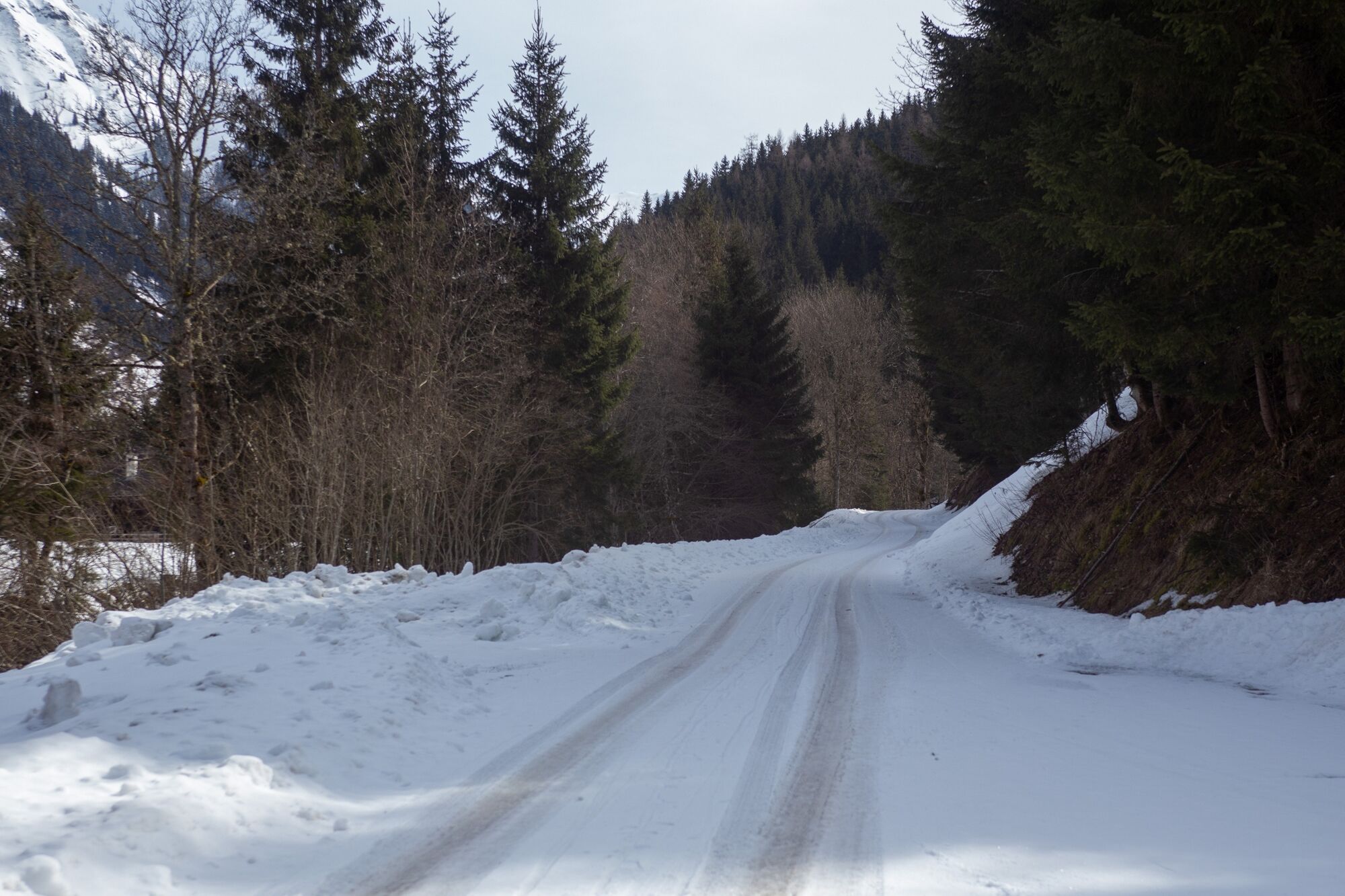
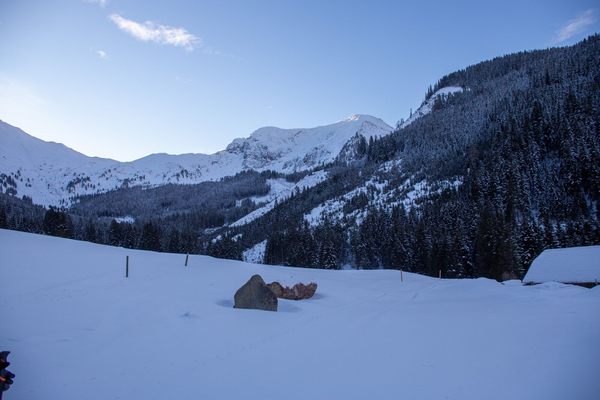
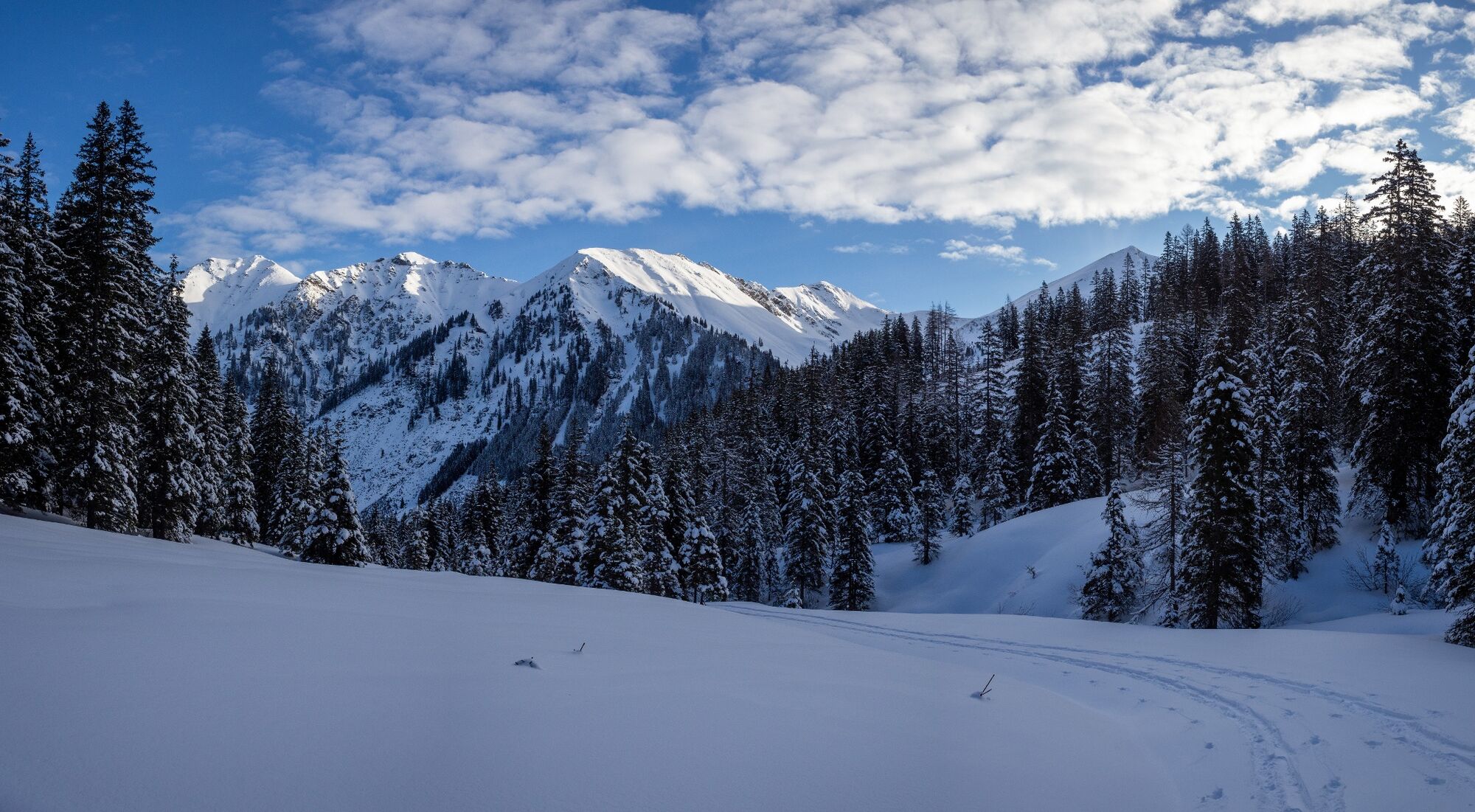
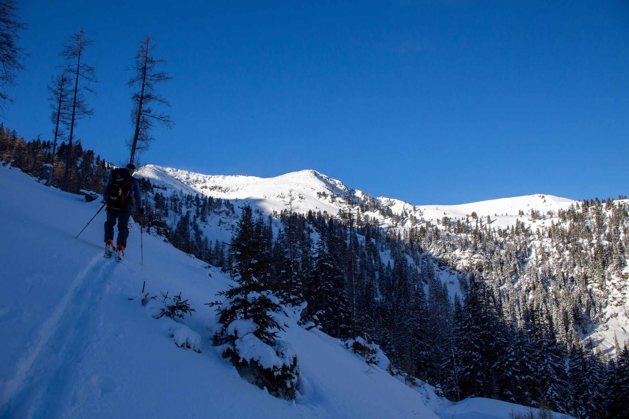
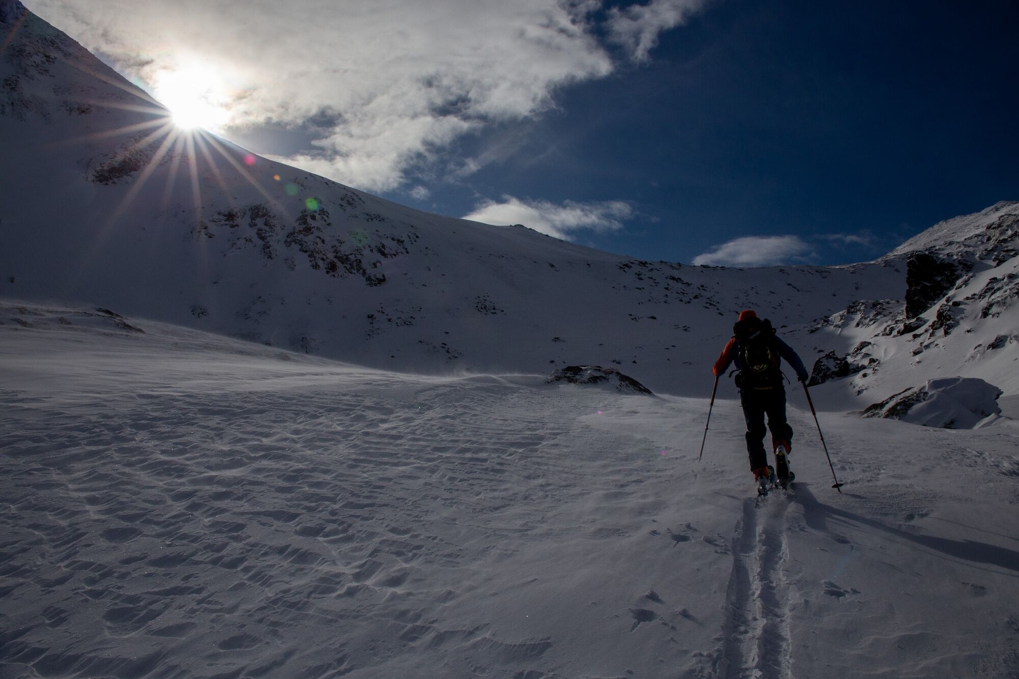
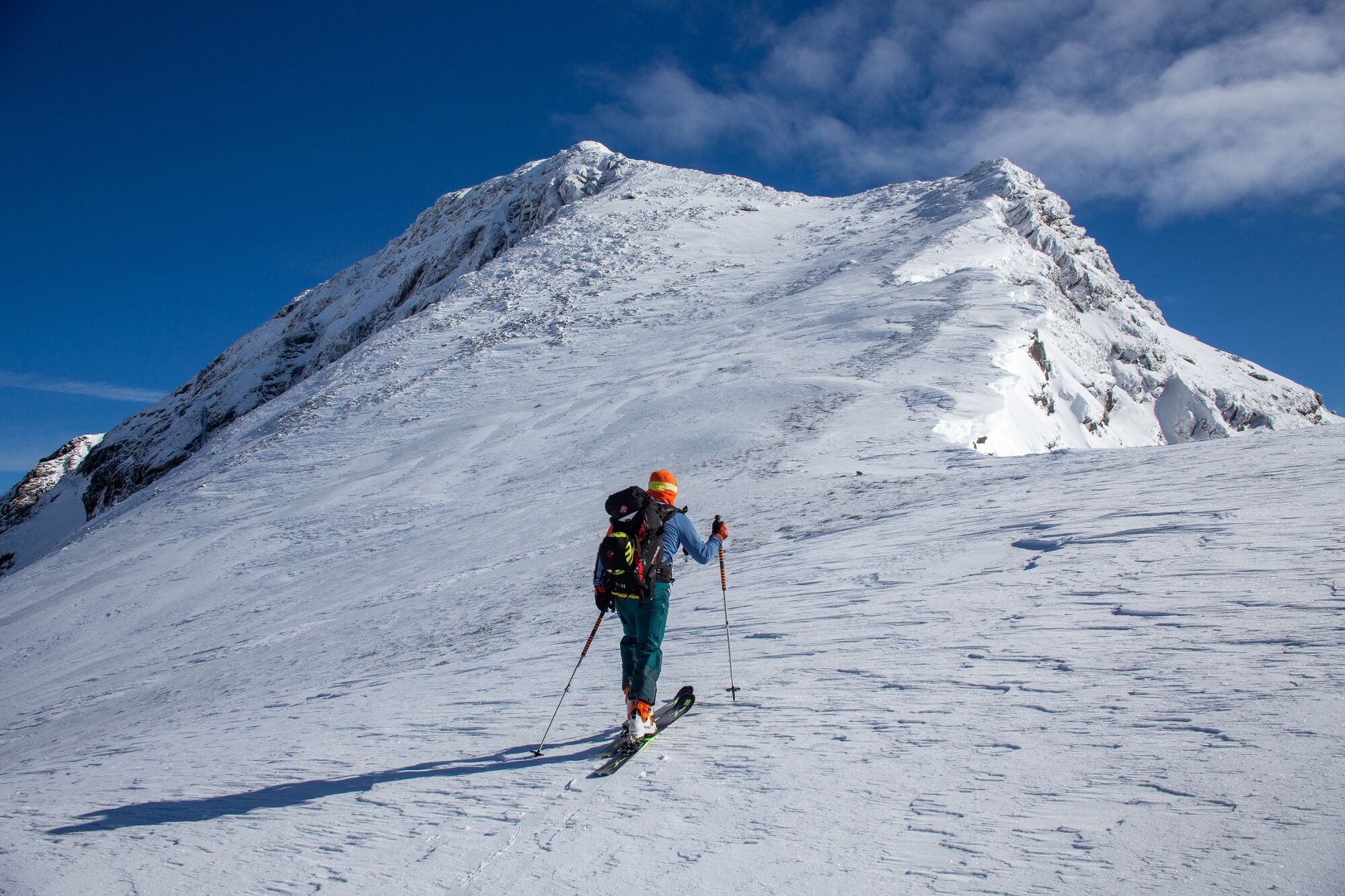
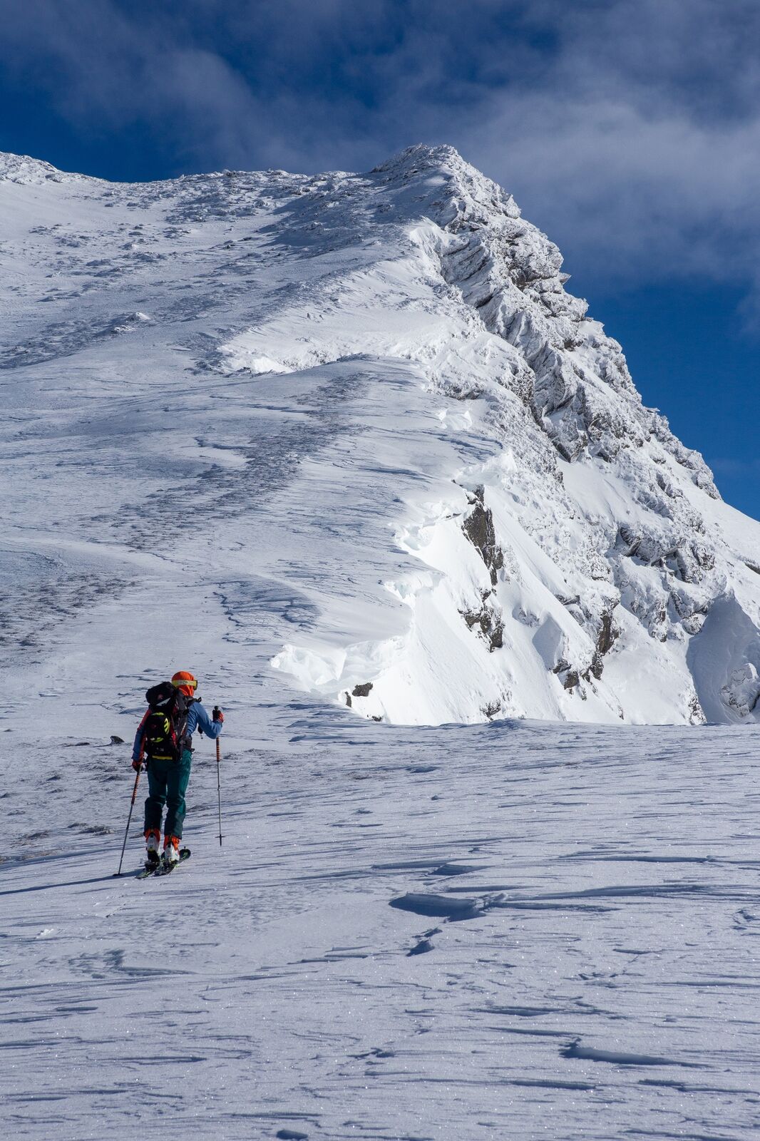
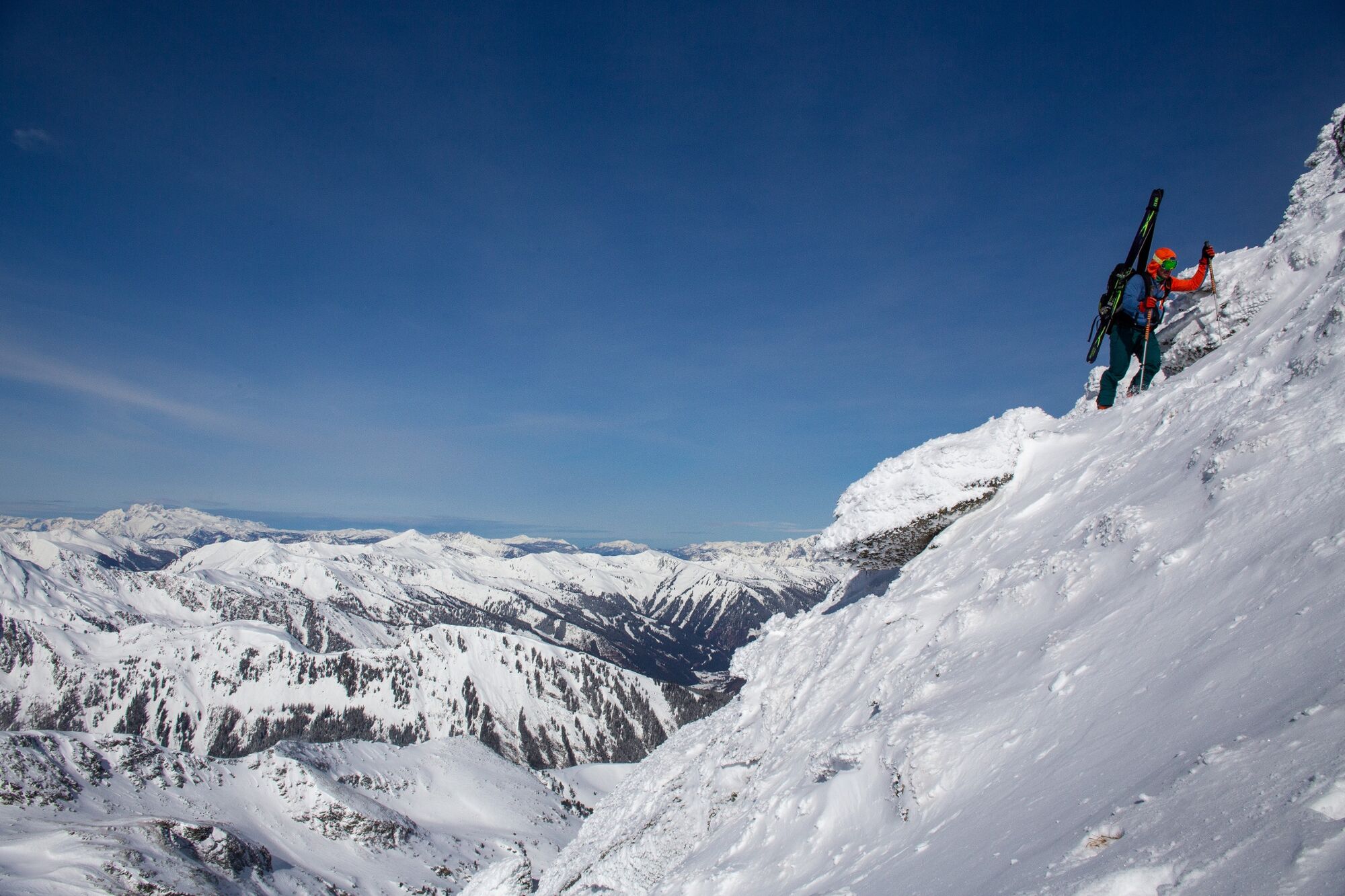
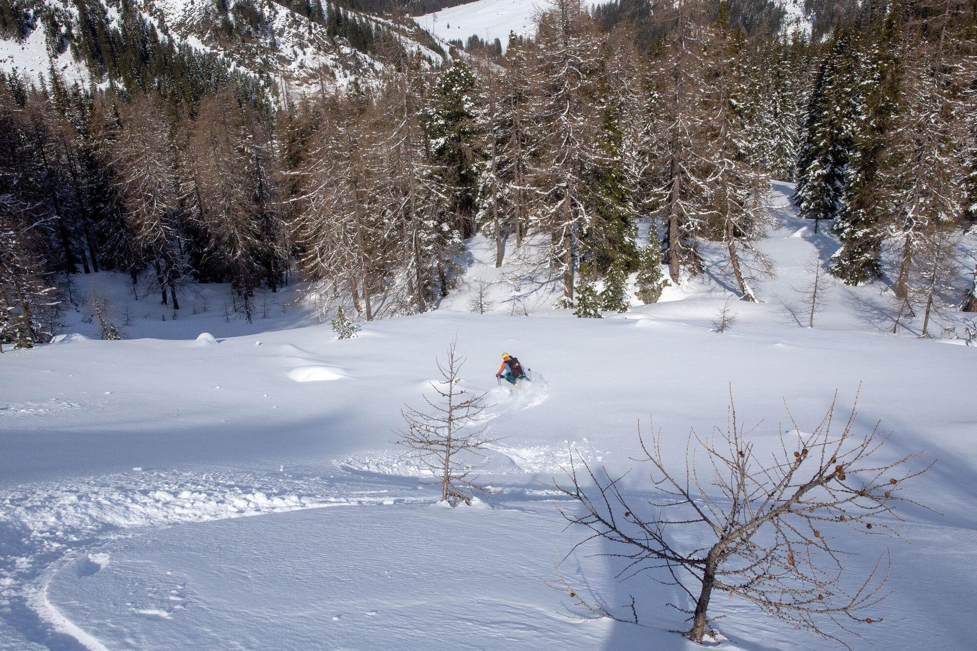
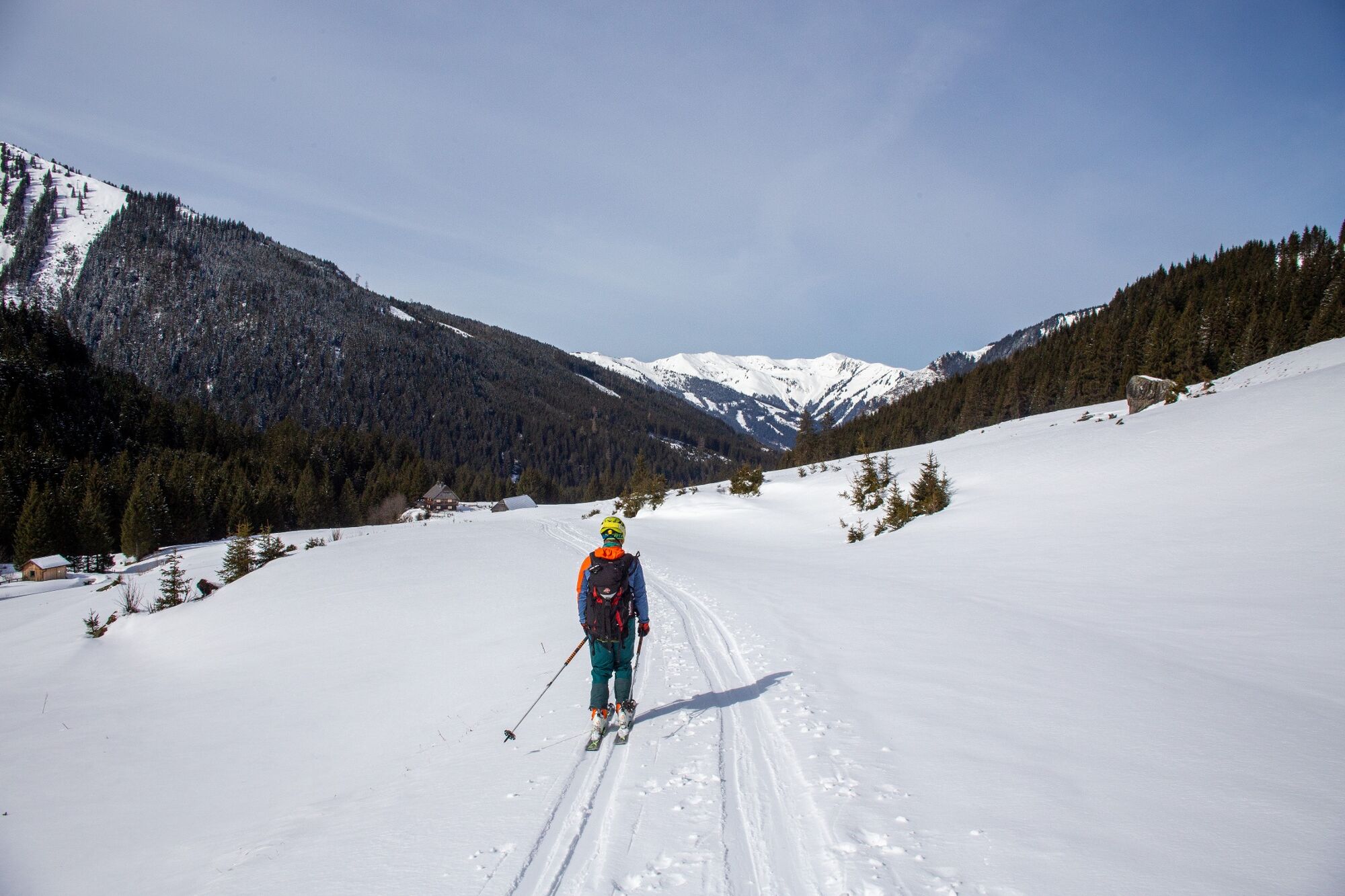
A long approach, 350 meters of altitude on the first five kilometers and technically as well as conditionally crisp. But at the summit it's clear what you've done it for: this amazing view over the Wölzer Tauern.
- Nehézség
-
nehéz
- Értékelés
-
- Útvonal
-
Höll6,6 kmHochweberspitze (2.375 m)10,9 kmHöll14,3 km
- Legjobb szezon
-
augszeptoktnovdecjanfebrmárcáprmájjúnjúl
- Legmagasabb pont
- 2.345 m
- Úti cél
-
Barrier Riedleralm
- Exposition
- Magassági profil
-

-

-
SzerzőA túra Hochweberspitze a outdooractive.com feltéve, hogy.
GPS Downloads


Általános információ
Ígéretes
További túrák a régiókban