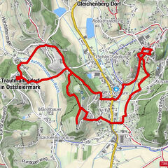
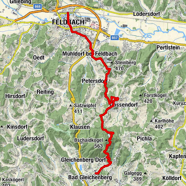
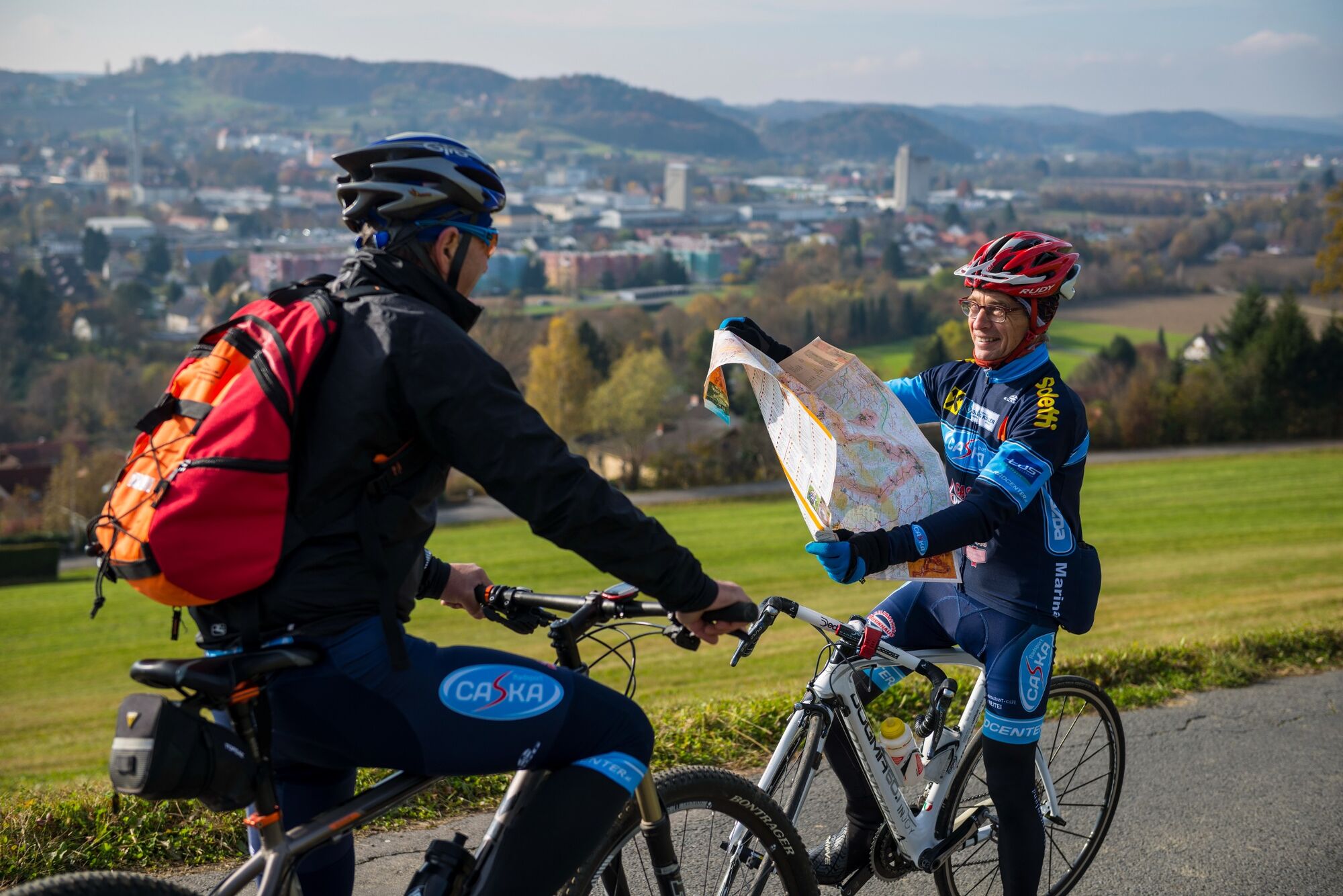
Backbone (Rückgrat) / Feldbach-Bad Gleichenberg

Tanösvény

© Erlebnisregion Thermen- & Vulkanland - Conterfei

© Erlebnisregion Thermen- & Vulkanland - Bernhard Bergmann

© Erlebnisregion Thermen- & Vulkanland - Christine Neuhold

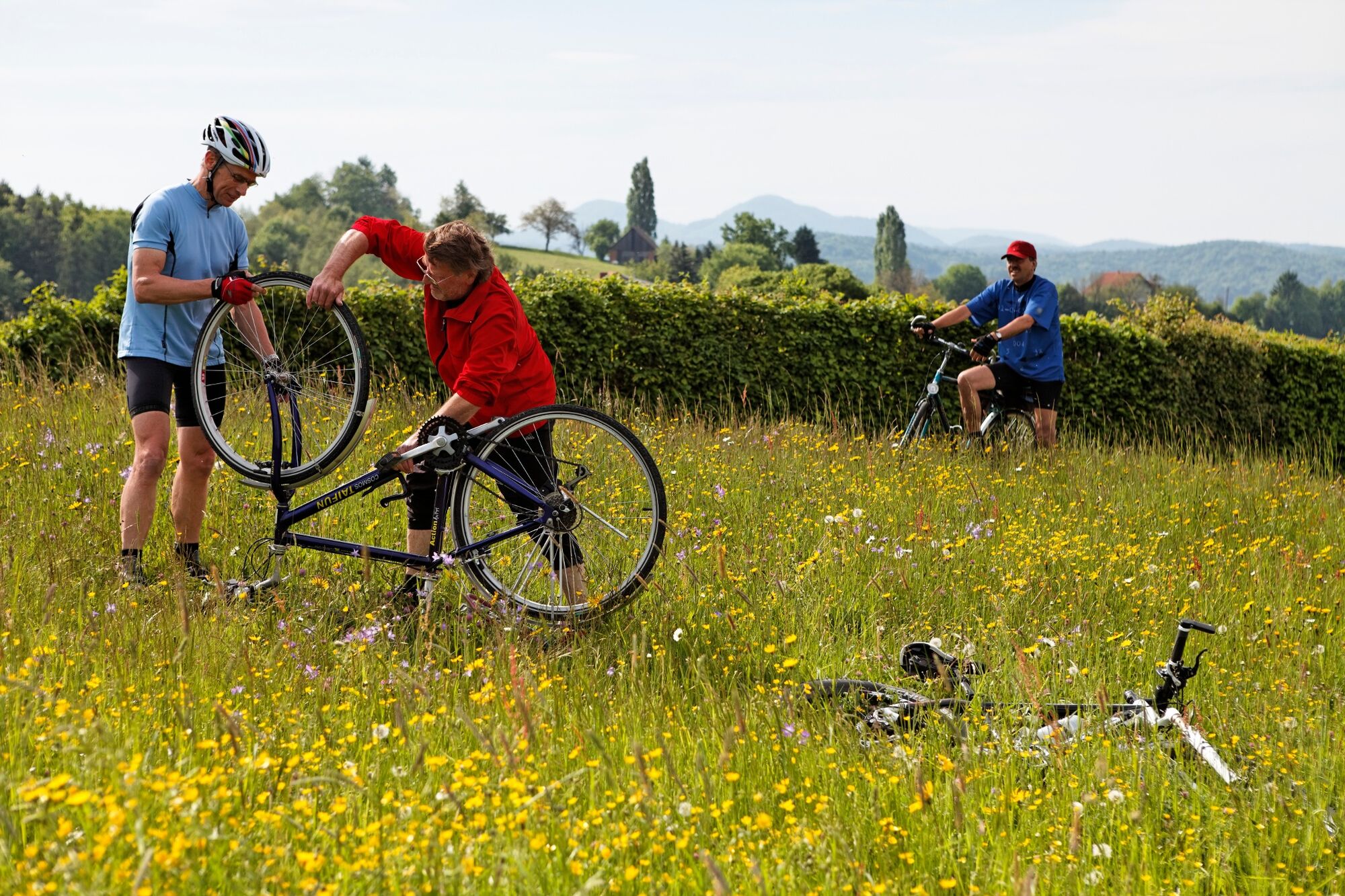
© Erlebnisregion Thermen- & Vulkanland - Roman Schmidt

© TV Thermen- & Vulkanland - Bernhard Bergmann

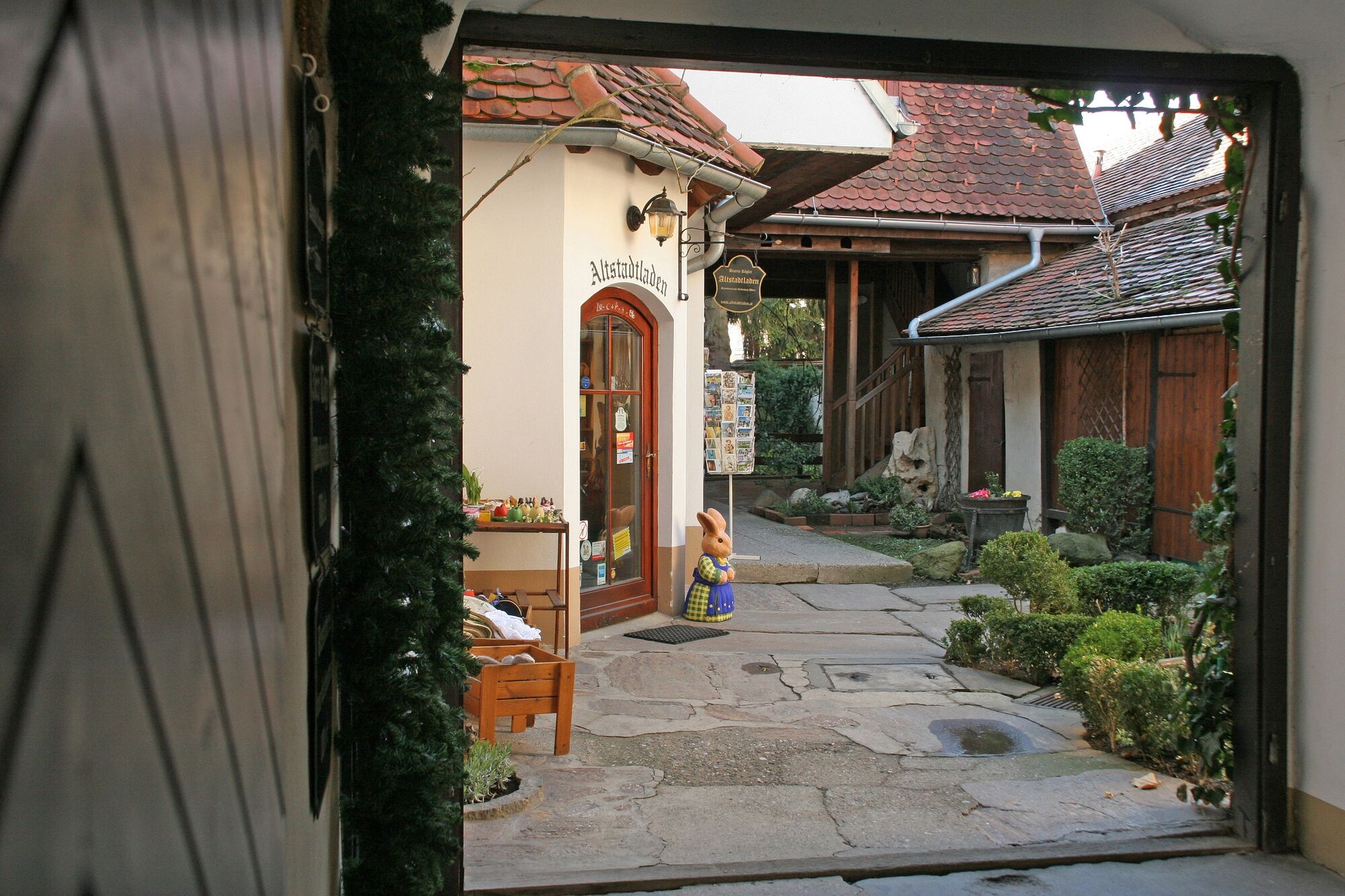
© Erlebnisregion Thermen- & Vulkanland - Altstadtladen

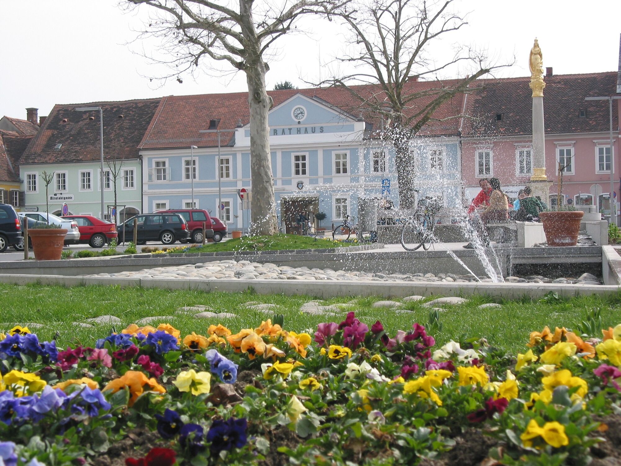
© Feldbach | Thermen- & Vulkanland Steiermark - Christine Neuhold

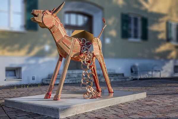
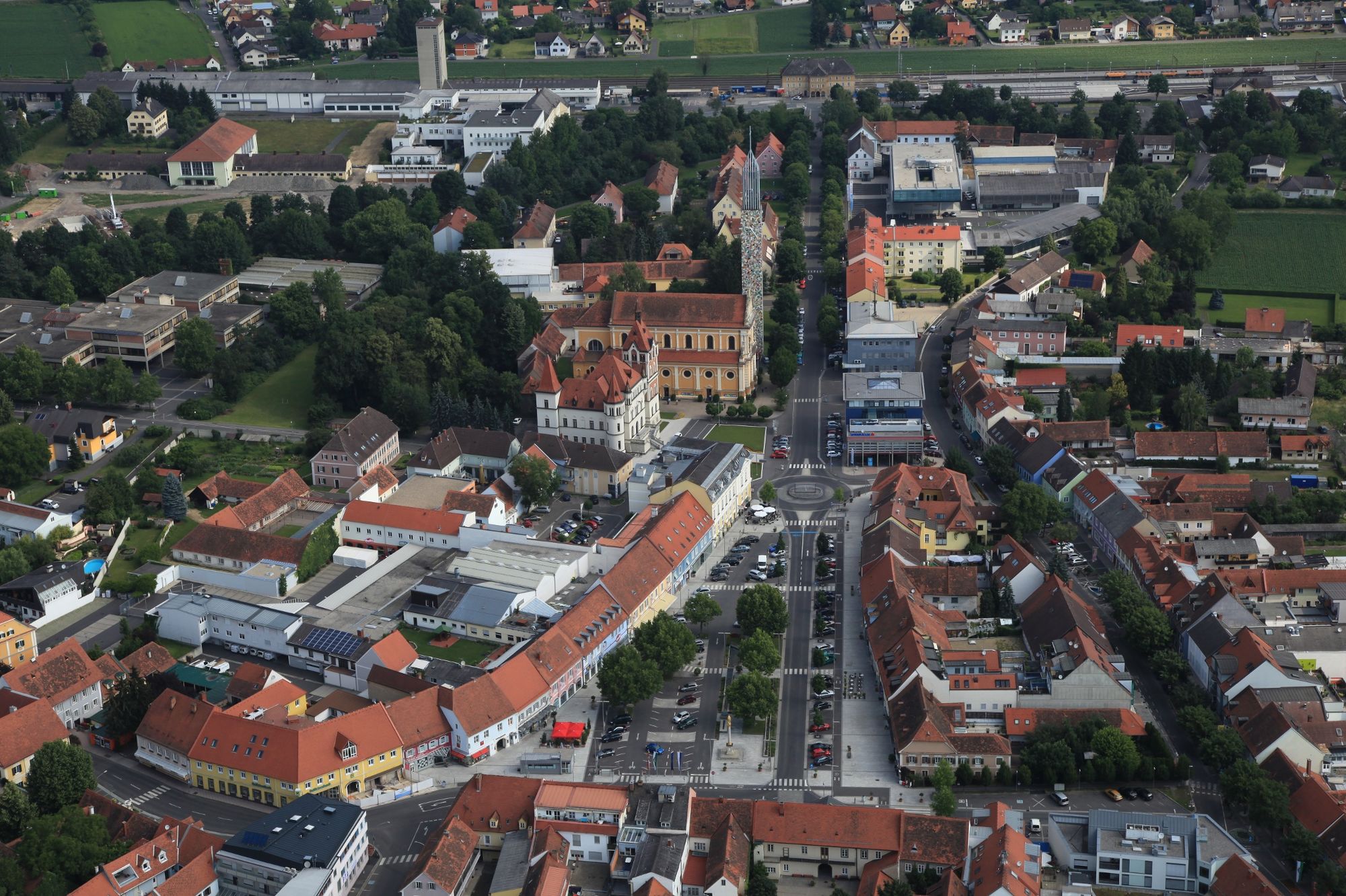
© Erlebnisregion Thermen- & Vulkanland - Stadtgemeinde Feldbach

© Erlebnisregion Thermen- & Vulkanland - Bäckerei-Konditorei-Café

© Erlebnisregion Thermen- & Vulkanland - Sepp Hödl
- Rövid leírás
-
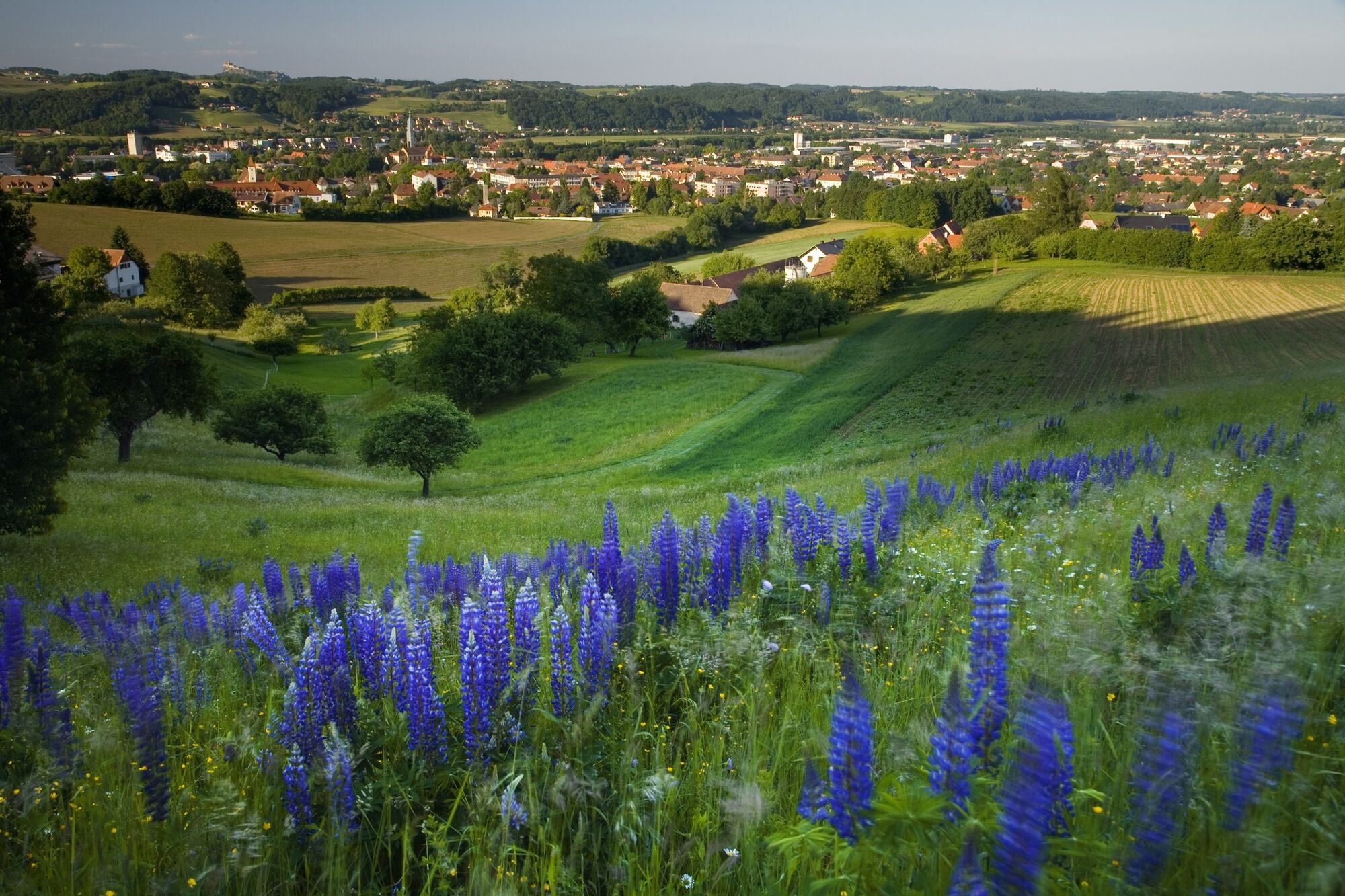
The network of hiking trails on the "traces of the volcanoes" in Thermen- & Vulkanland Steiermark shows the image of a man. A buffet of pictures opens up between extinct volcanoes.
- Nehézség
-
közepes
- Értékelés
-
- Útvonal
-
FeldbachStadtpfarrkirche St. Leonhard0,2 kmFeldbach0,6 kmMühldorf bei Feldbach3,3 kmWiesbüchel7,8 kmKulmberghof9,2 kmEdelweißwarte12,7 kmBad Gleichenberg15,0 km
- Legjobb szezon
-
janfebrmárcáprmájjúnjúlaugszeptoktnovdec
- Legmagasabb pont
- 494 m
- Úti cél
-
Train station Bad Gleichenberg
- Magassági profil
-


- Szerző
-
A túra Backbone (Rückgrat) / Feldbach-Bad Gleichenberg a outdooractive.com feltéve, hogy.
GPS Downloads


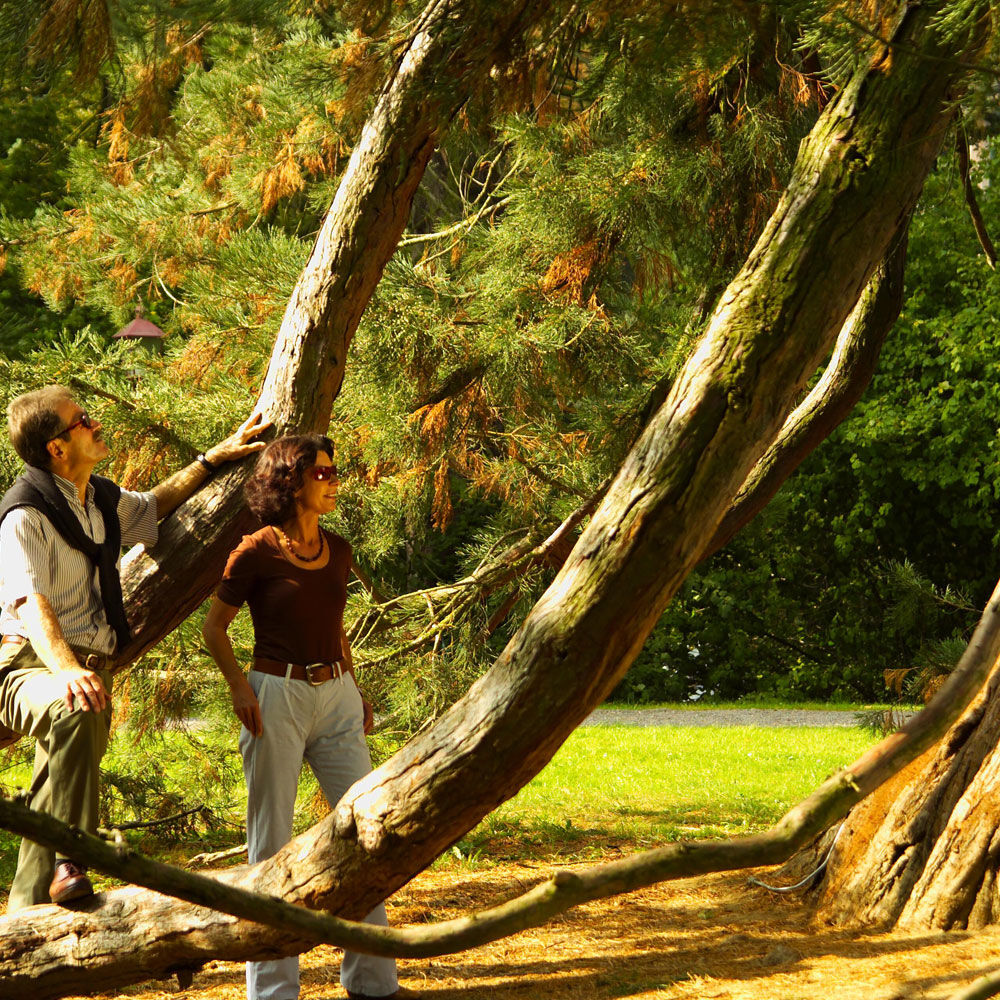
Általános információ
Frissítő megálló
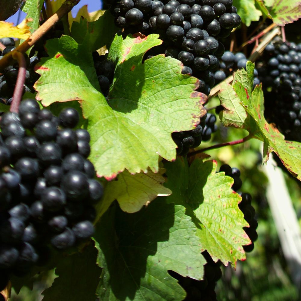
Flora
Fauna
Ígéretes
További túrák a régiókban
-
Oststeiermark
2125
-
Bad Gleichenberg
372
-
Bad Gleichenberg
154