HWW-Hiking Trail: Lafnitz - St. Ilgen (circular trail)

Tanösvény

© Oststeiermark Tourismus - XKarin Hofer

- Rövid leírás
-
This HWW hiking route is part of the Wechselland Historical Long-Distance Hiking Trail (HWW), which tells the story of Wechselland along more than 100 HWW stations. More information can be found at www.wechsel-wandern.at.
- Nehézség
-
közepes
- Értékelés
-
- Útvonal
-
LafnitzWeiße Kreuz4,0 kmLafnitz6,4 kmKapelle Lafnitz6,5 kmGasthaus Cafe Müller6,5 km
- Legjobb szezon
-
janfebrmárcáprmájjúnjúlaugszeptoktnovdec
- Legmagasabb pont
- 493 m
- Úti cél
-
Lafnitz
- Magassági profil
-

-

-
SzerzőA túra HWW-Hiking Trail: Lafnitz - St. Ilgen (circular trail) a outdooractive.com feltéve, hogy.
GPS Downloads


Általános információ
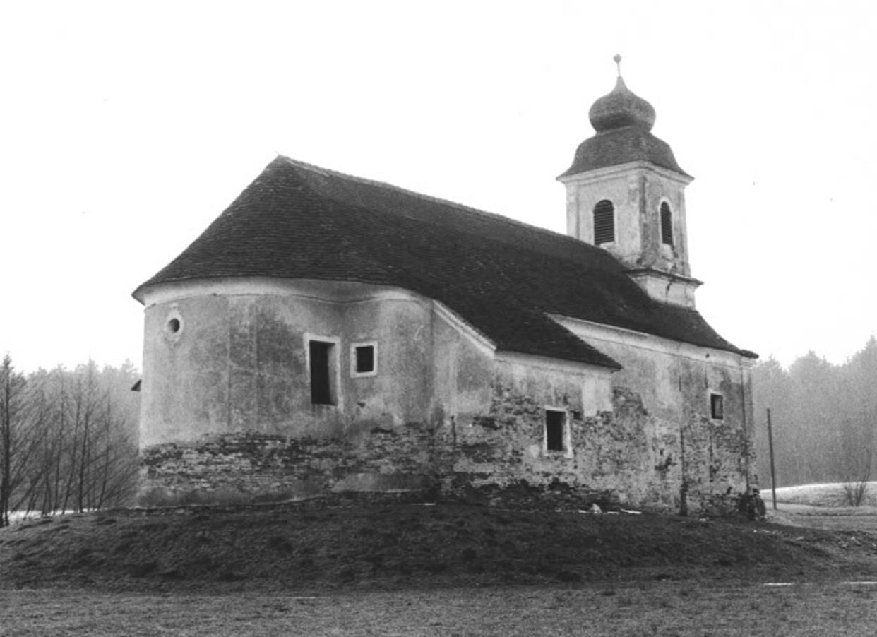
Kulturális/Történelmi
További túrák a régiókban
-
Thermen- & Vulkanland
1324
-
Hartbergerland
831
-
Lafnitz
193
 Welt")