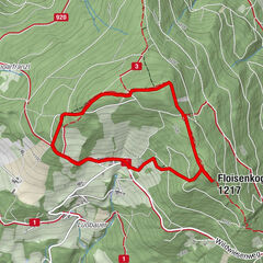
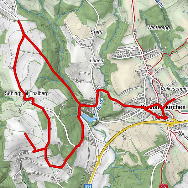
HWW-Hiking route: Dechantskirchen - Moarhofbauern-Kreuz - Schlagriegel (circular trail)

Tanösvény

© Oststeiermark Tourismus - XKarin Hofer
- Rövid leírás
-
This HWW hiking route is part of the Wechselland Historical Long-Distance Hiking Trail (HWW), which tells the story of Wechselland along more than 100 HWW stations. More information can be found at www.wechsel-wandern.at.
- Nehézség
-
könnyű
- Értékelés
-
- Útvonal
-
Dechantskirchen0,2 kmSchlag bei Thalberg4,2 kmPfarrkirche hl. Stefan9,2 kmDechantskirchen9,3 km
- Legjobb szezon
-
janfebrmárcáprmájjúnjúlaugszeptoktnovdec
- Legmagasabb pont
- 623 m
- Úti cél
-
Dechantskirchen
- Magassági profil
-

-

-
Szerző
GPS Downloads


Általános információ
Kulturális/Történelmi
További túrák a régiókban
-
Wiener Alpen
3044
-
Kräuterregion Wechselland
1085
-
Dechantskirchen
235