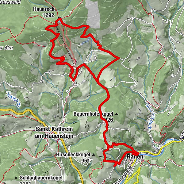
Montanweg - Ratten - St. Kathrein am Hauenstein

Tanösvény

© Heribert Hahn - TV Joglland Waldheimat

© Gemeinde Ratten - TV Joglland Waldheimat
- Rövid leírás
-
A varied themed hike that takes you along forest and field paths, local roads and short climbs to the summit of the Hauereck and thus also connects the communities of Ratten and St. Kathrein am Hauenstein.
- Nehézség
-
közepes
- Értékelés
-
- Útvonal
-
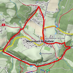
Ratten0,2 kmKirchenriegel2,7 kmHauereckschutzhütte8,4 kmHauereck (1.292 m)8,4 kmSonnenhütte8,6 kmBergbausiedlung11,9 kmKirchenriegel14,8 kmRatten16,3 km
- Legjobb szezon
-
janfebrmárcáprmájjúnjúlaugszeptoktnovdec
- Legmagasabb pont
- 1.301 m
- Úti cél
-
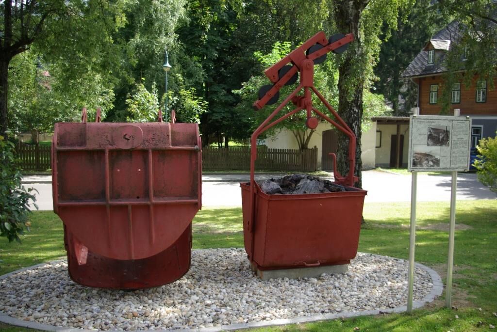
Mining Museum
- Magassági profil
-


- Szerző
-
A túra Montanweg - Ratten - St. Kathrein am Hauenstein a outdooractive.com feltéve, hogy.
GPS Downloads


Általános információ
Frissítő megálló
Kulturális/Történelmi
Bennfentes tipp
Ígéretes
További túrák a régiókban