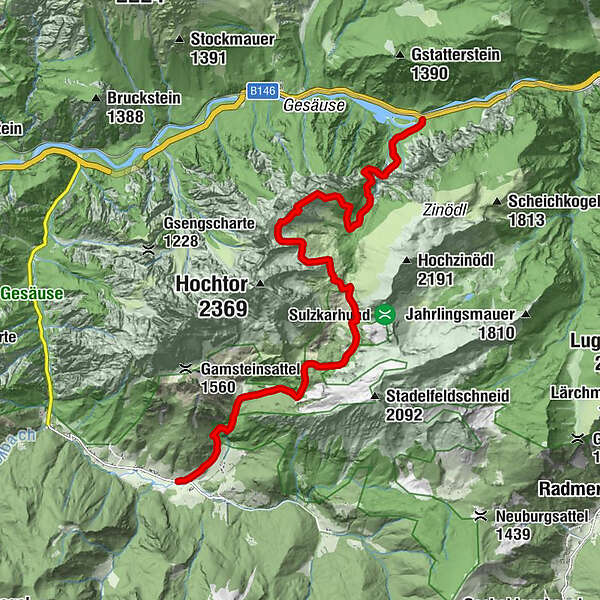
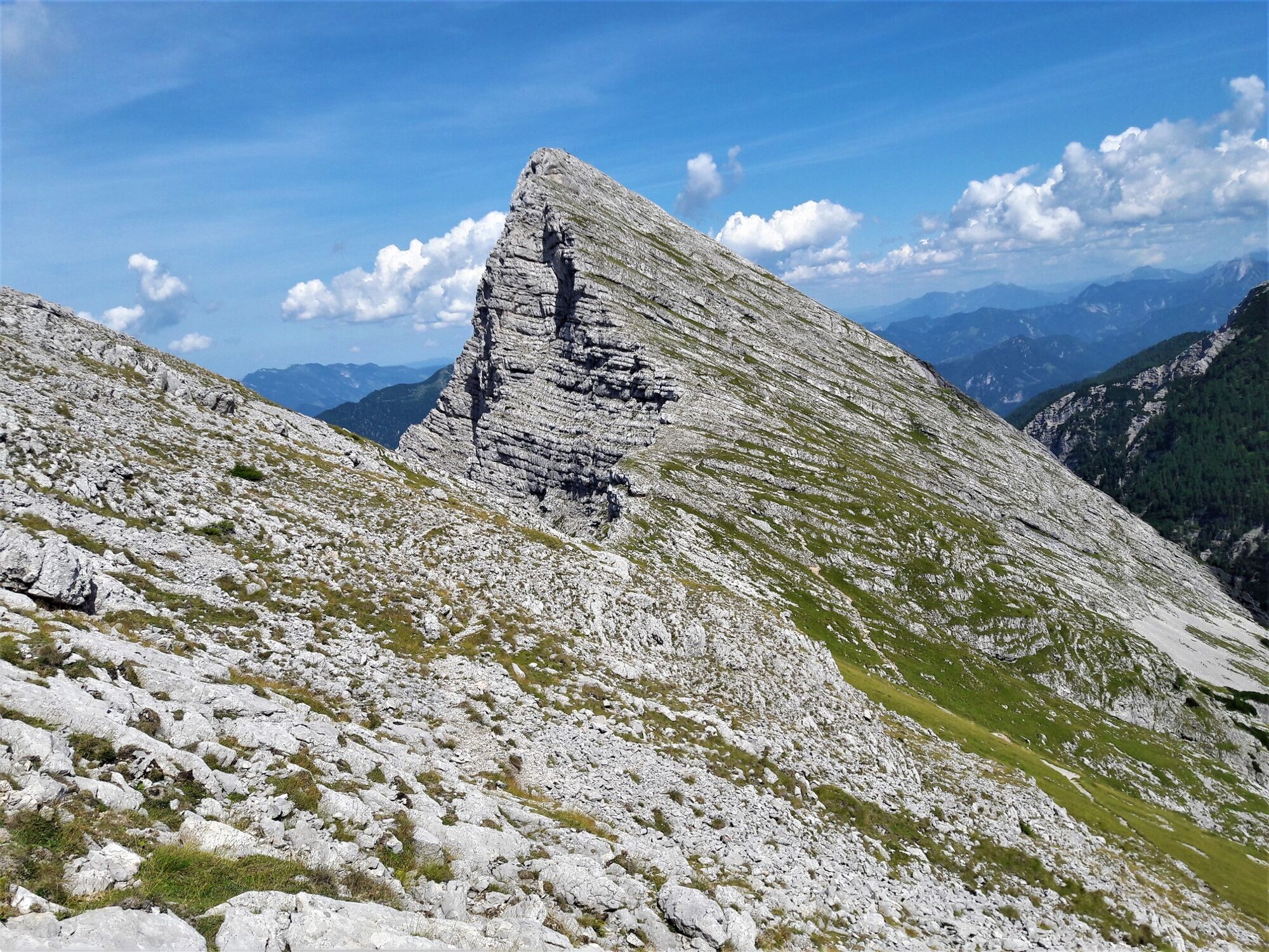
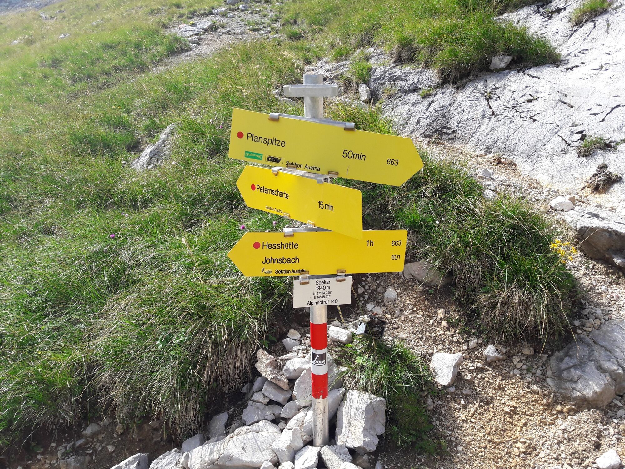
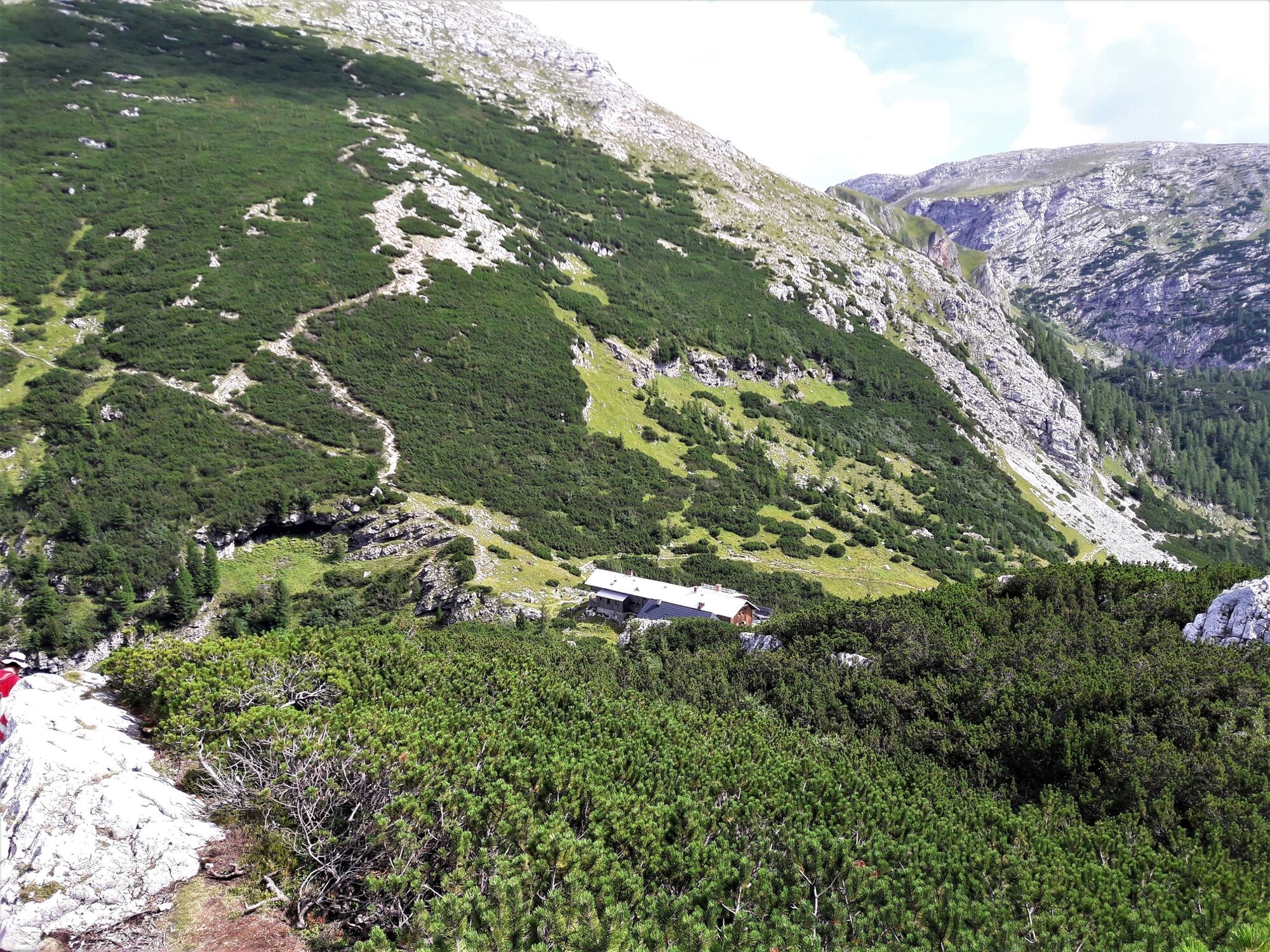
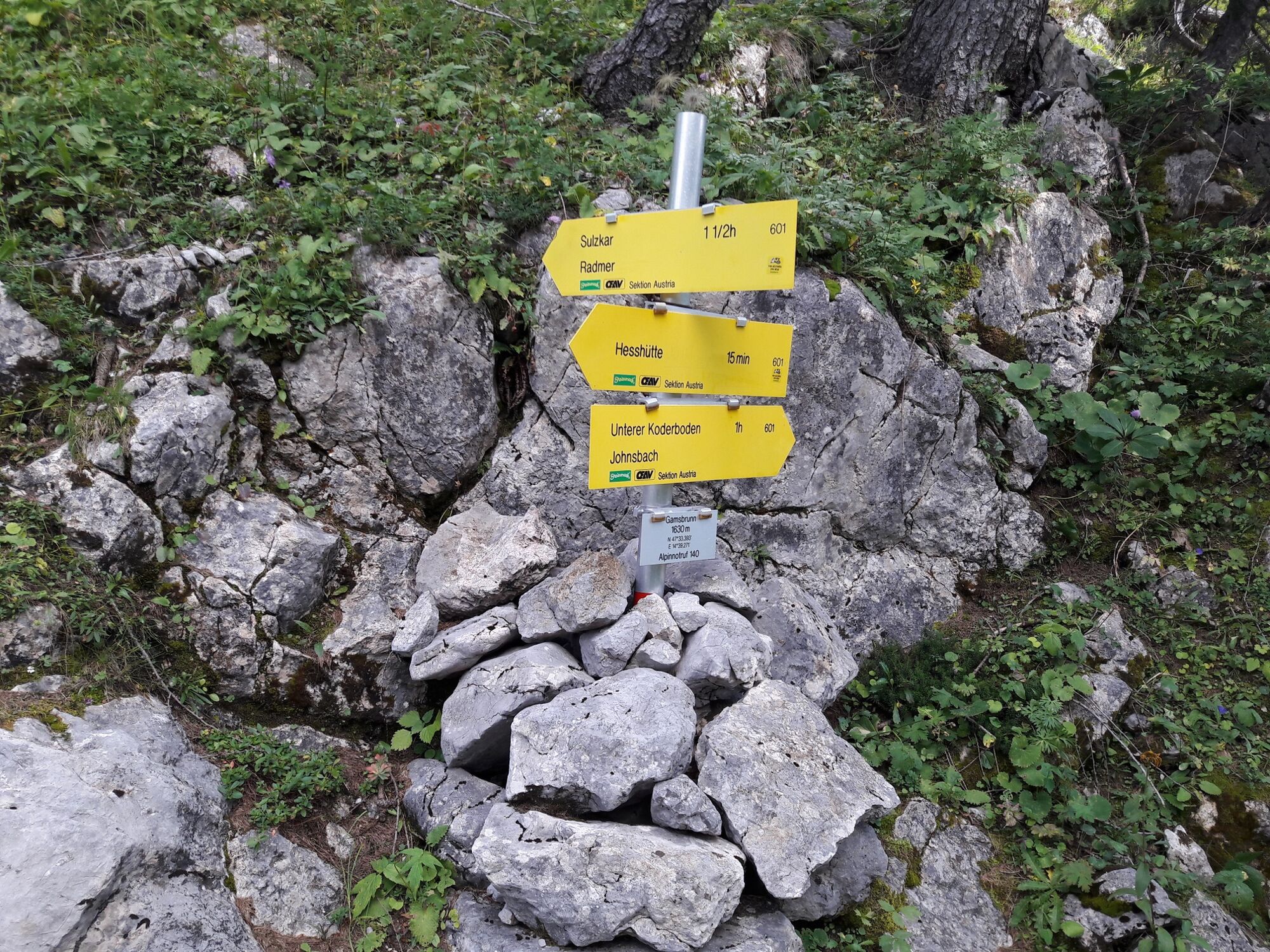
Via the Wasserfallweg to the Planspitze and via the Heßhütte down to Johnsbach

Kirándulás

© TV Gesäuse - Tourismusverband Gesäuse

© TV Gesäuse - Tourismusverband Gesäuse

© TV Gesäuse - Tourismusverband Gesäuse

© TV Gesäuse - Tourismusverband Gesäuse

© TV Gesäuse - Tourismusverband Gesäuse

© TV Gesäuse - Tourismusverband Gesäuse

© TV Gesäuse - Tourismusverband Gesäuse

© TV Gesäuse - Tourismusverband Gesäuse

© TV Gesäuse - Tourismusverband Gesäuse

© TV Gesäuse - Tourismusverband Gesäuse

- Rövid leírás
-
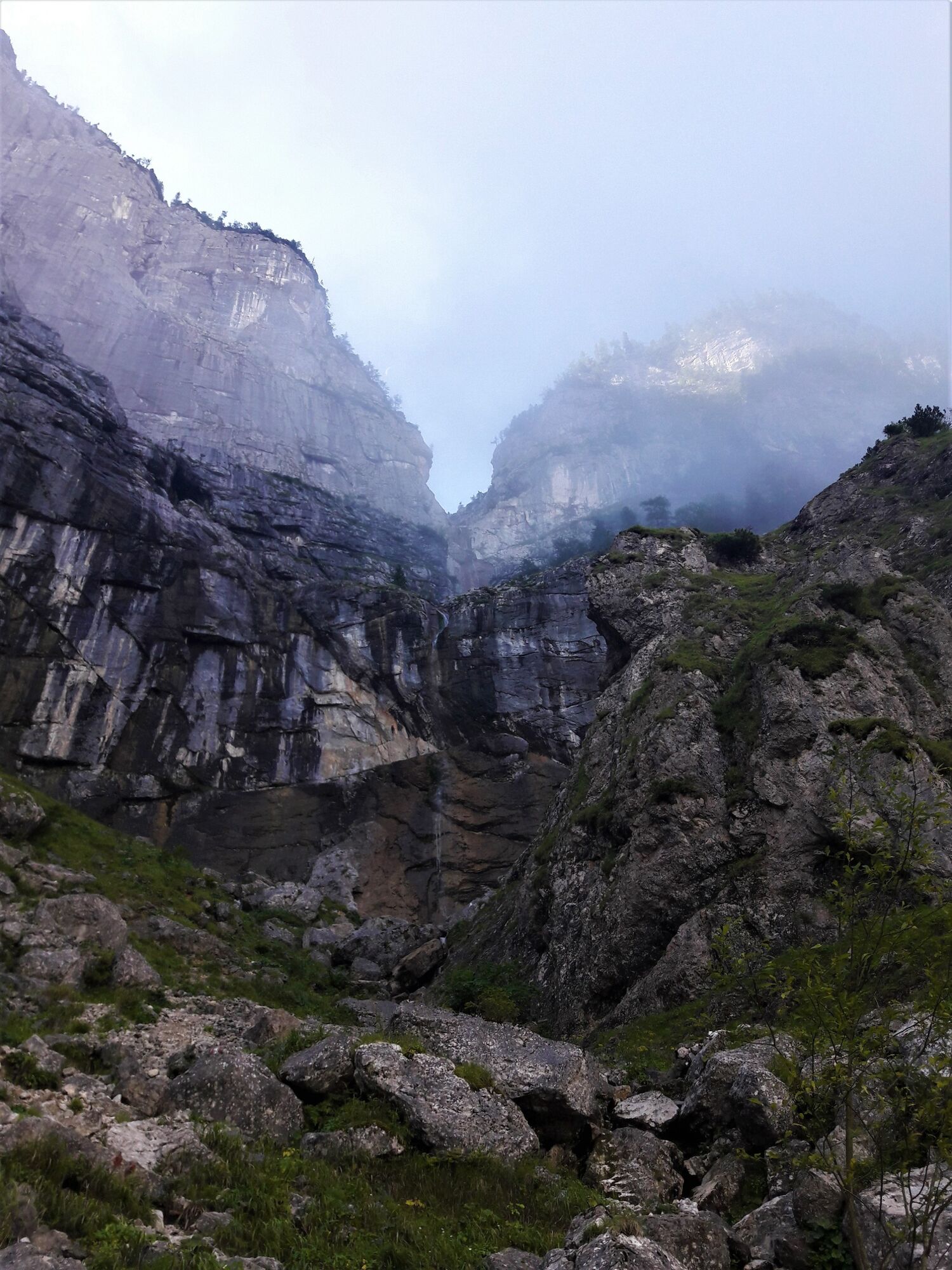
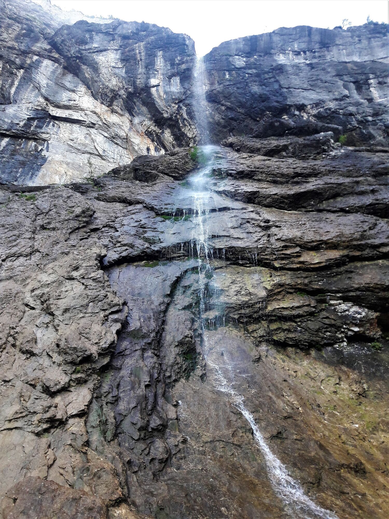
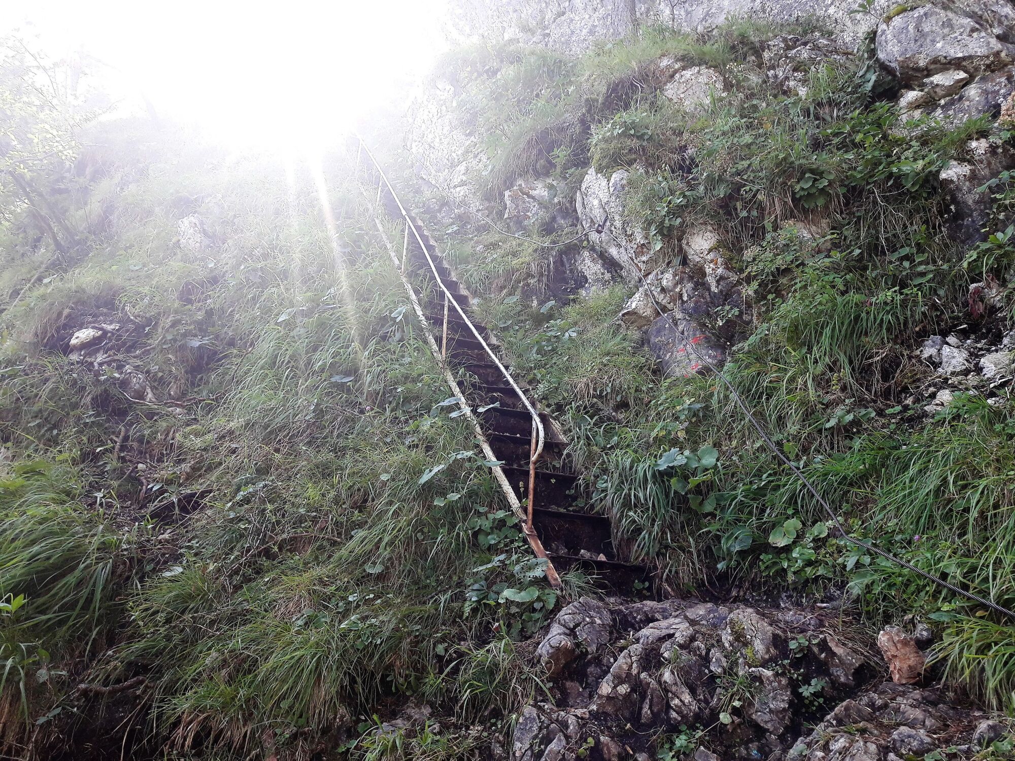
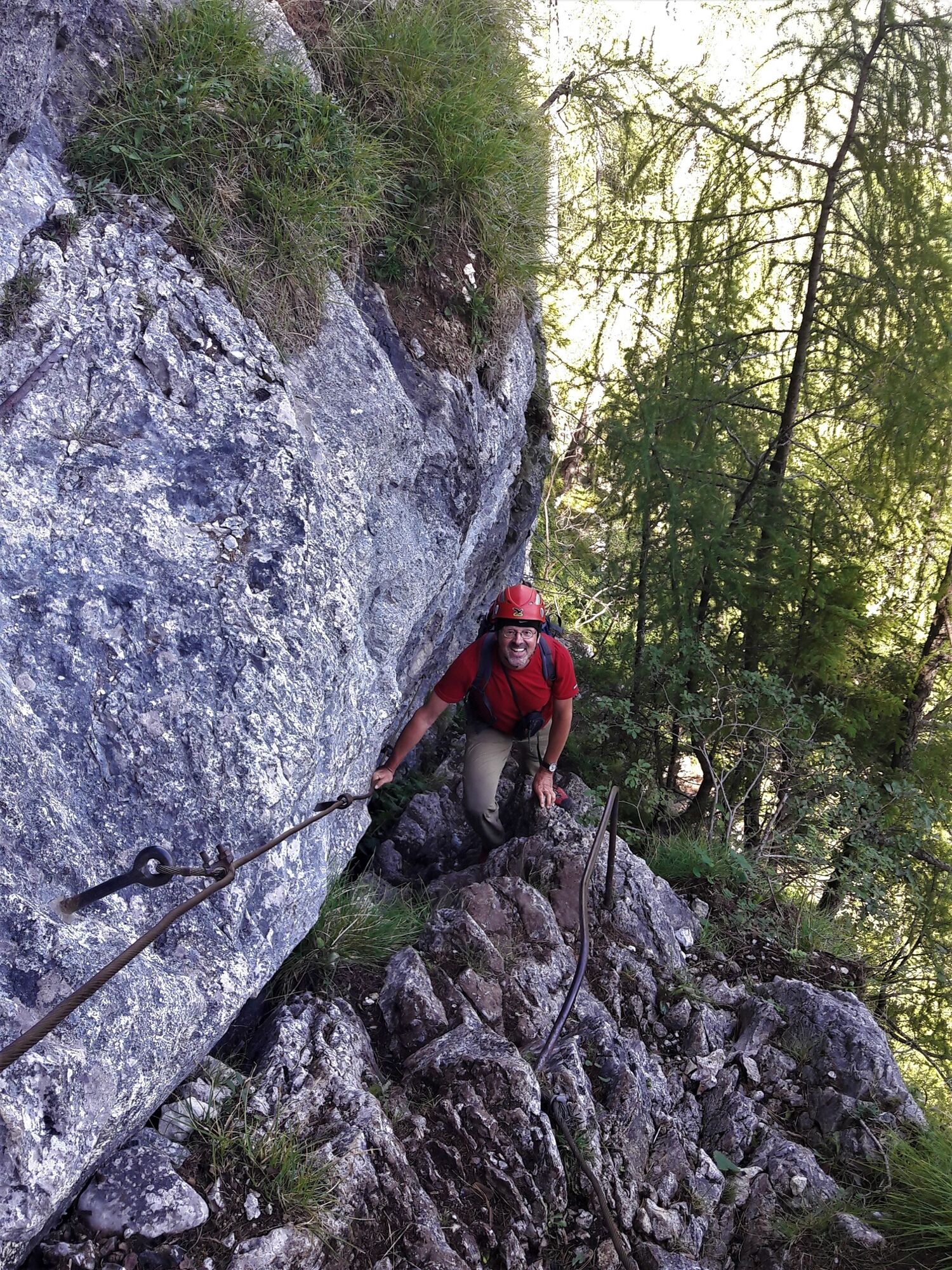
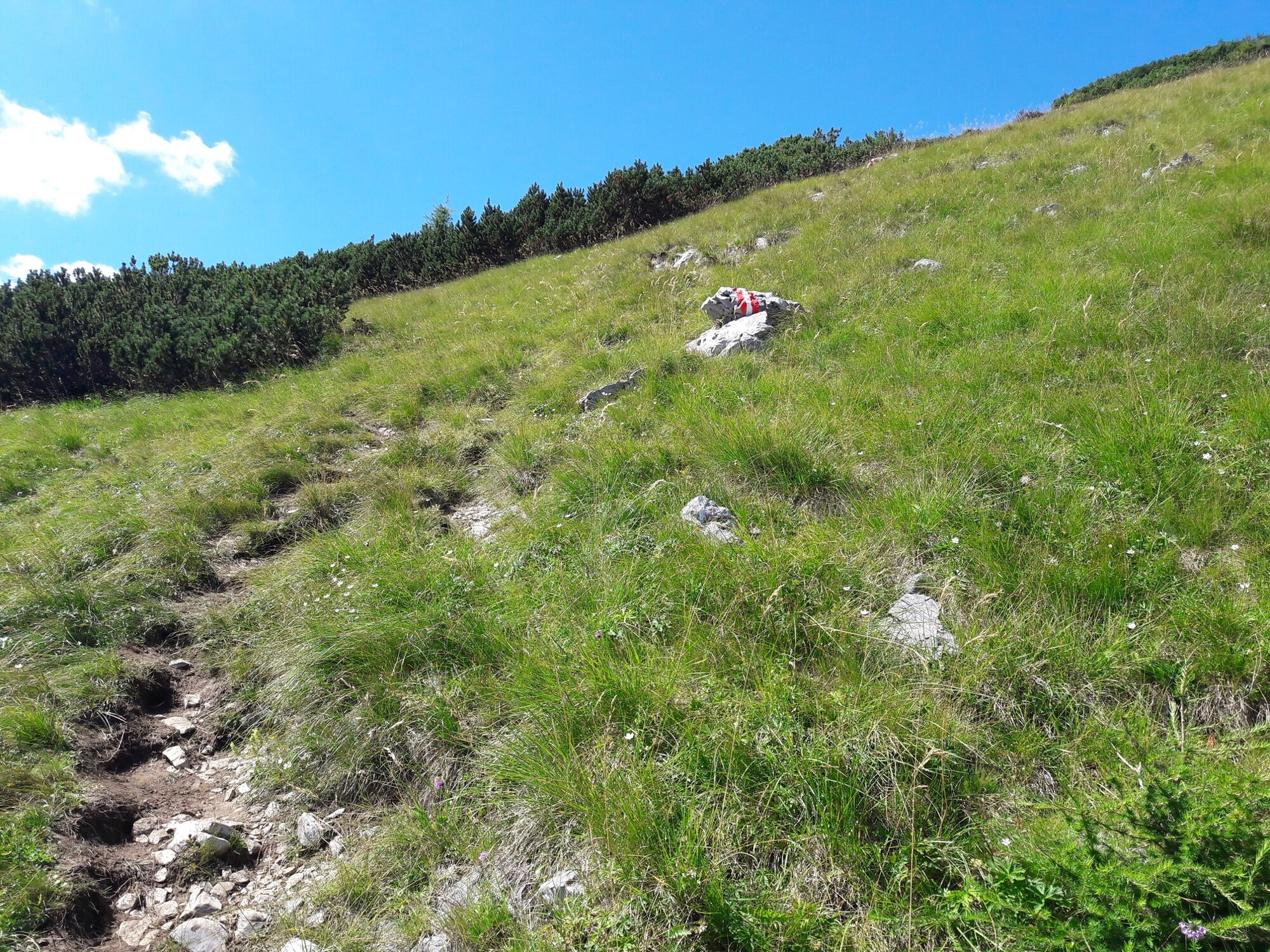
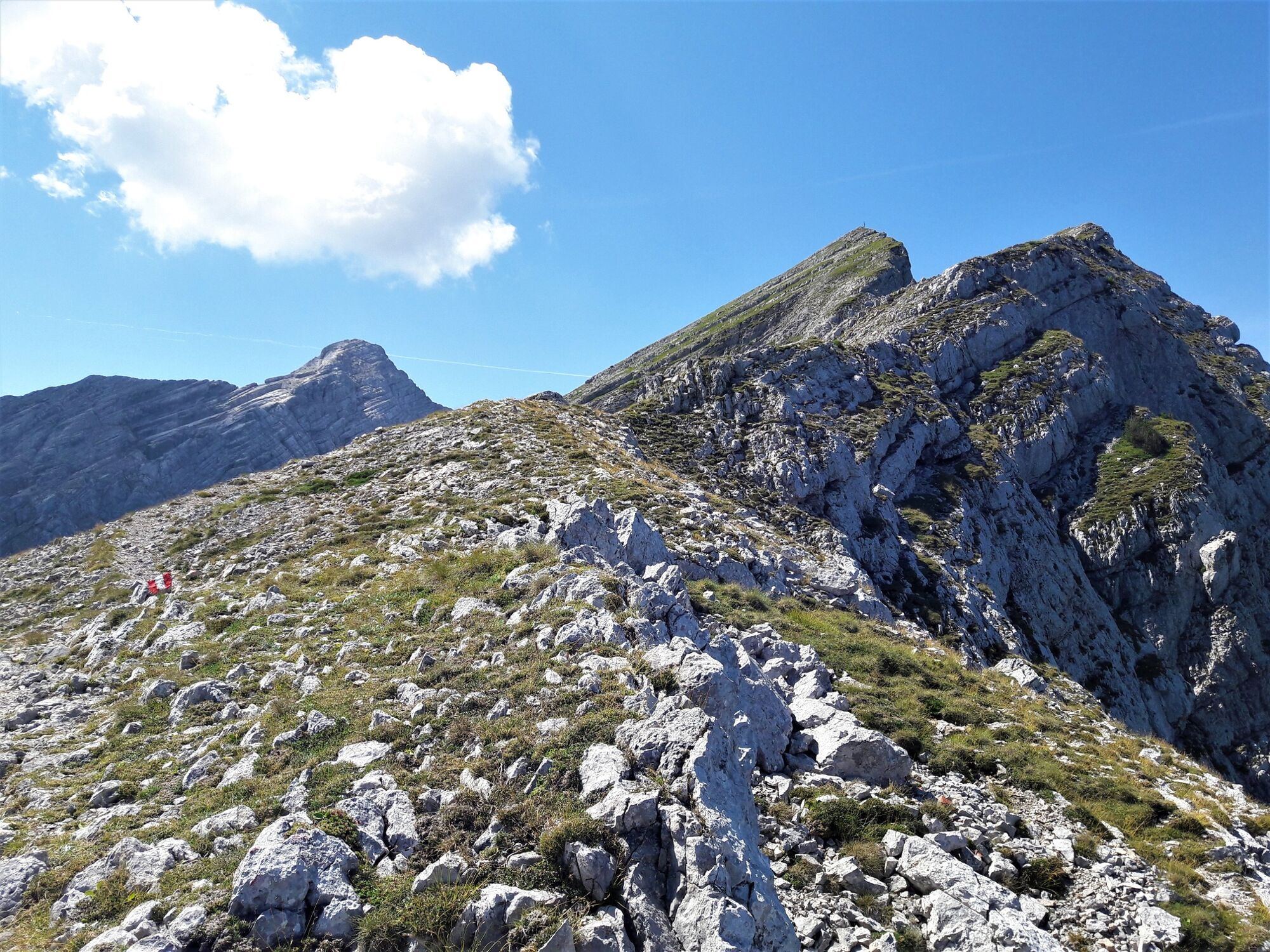
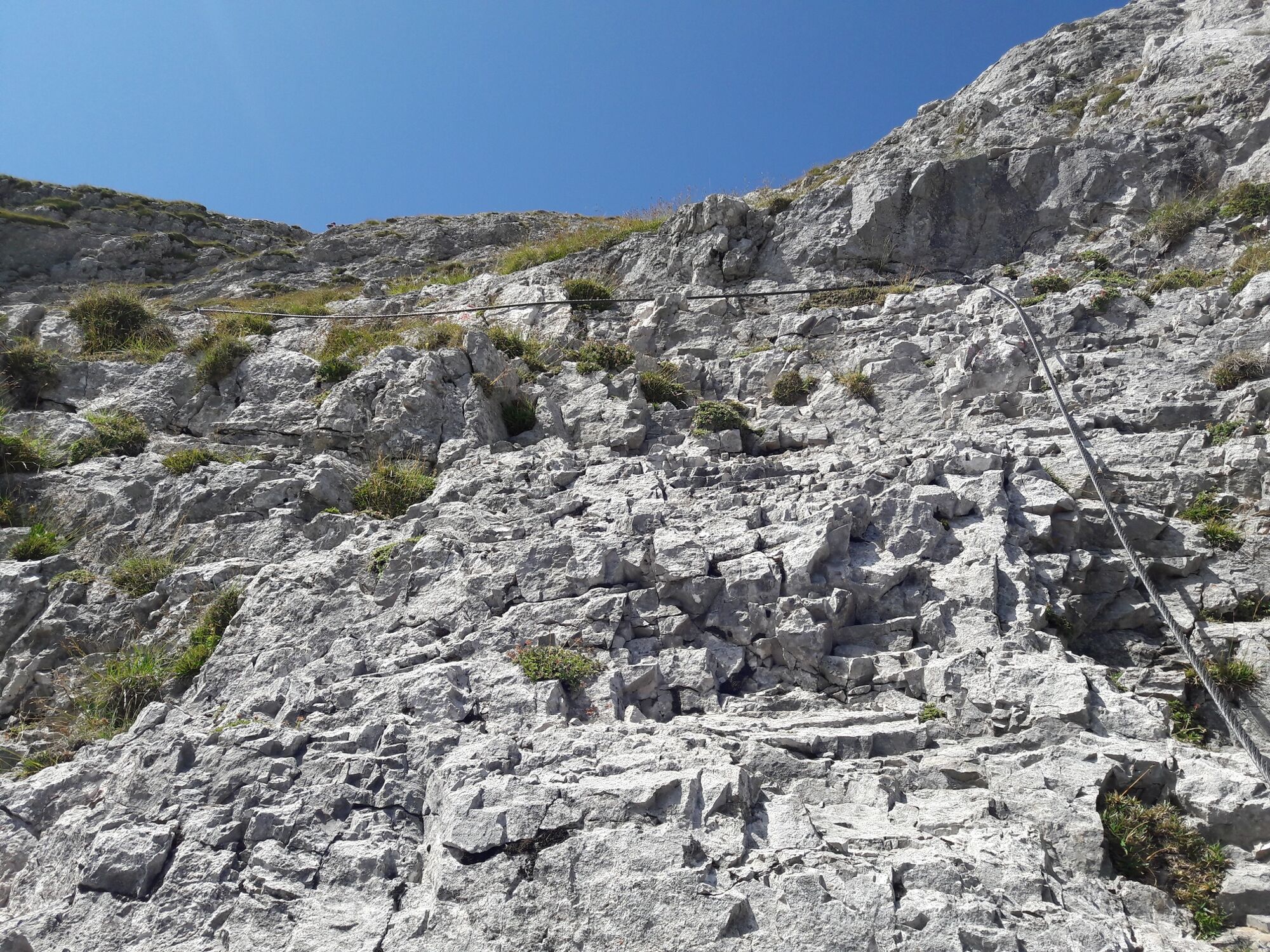
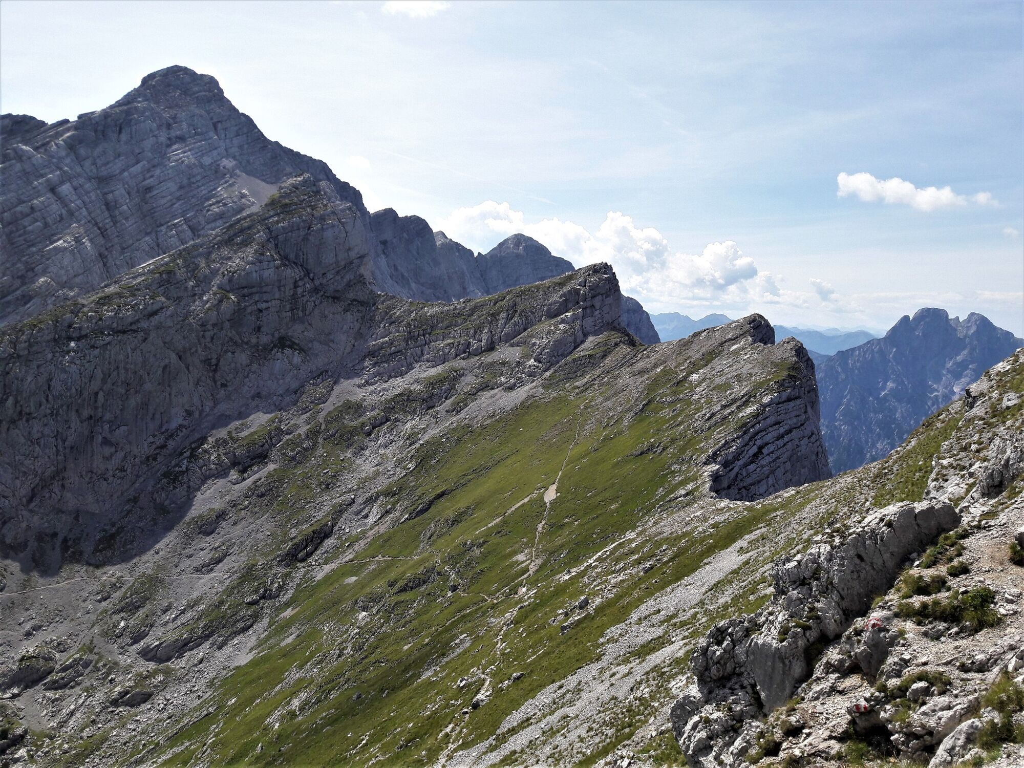
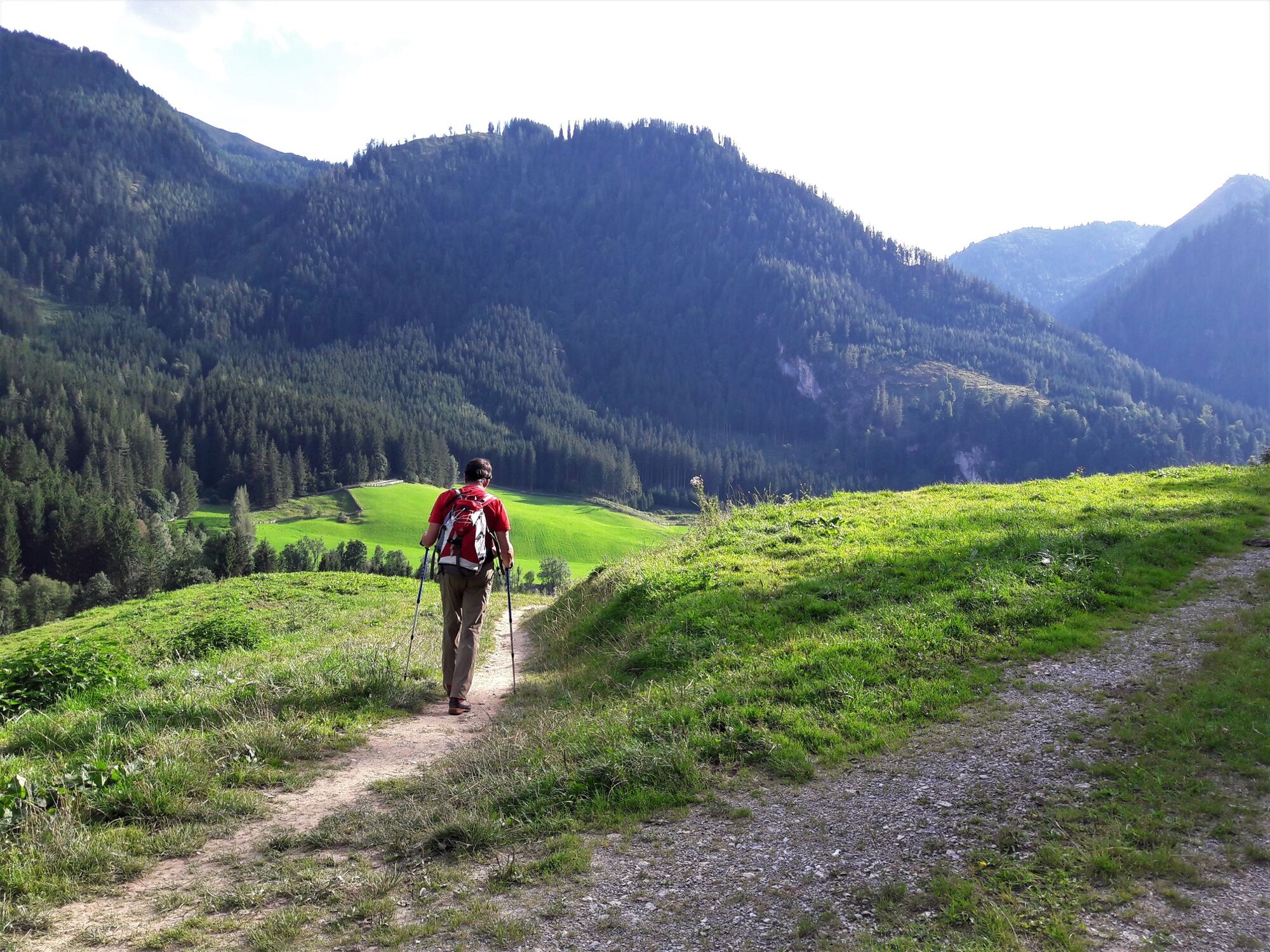
Via the Klettsteig passages of the waterfall path and the Kölblplan you cross the Planspitze. On the descent, the path leads to the well-known Heßhütte and on to Johnsbach.
- Nehézség
-
nehéz
- Értékelés
-
- Útvonal
-
Planspitze (2.114 m)5,1 kmHesshütte7,7 kmGamsbrunnen8,4 kmWolfbauer Wasserfall12,4 kmKölblwirt14,0 km
- Legjobb szezon
-
janfebrmárcáprmájjúnjúlaugszeptoktnovdec
- Legmagasabb pont
- 2.072 m
- Úti cél
-
Gasthaus Kölblwirt
- Magassági profil
-

-

-
SzerzőA túra Via the Wasserfallweg to the Planspitze and via the Heßhütte down to Johnsbach a outdooractive.com feltéve, hogy.
GPS Downloads


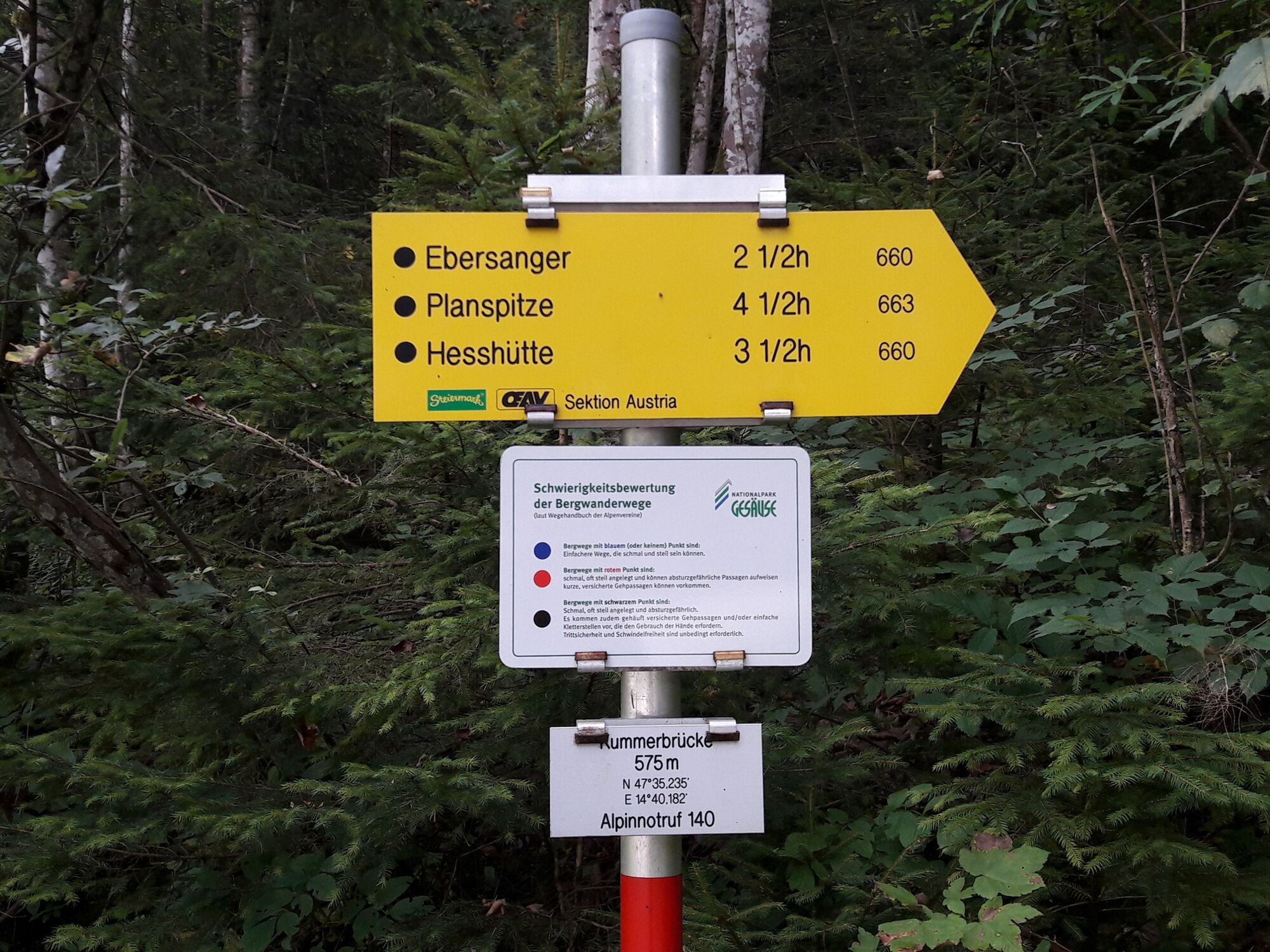
Általános információ
Frissítő megálló
Ígéretes


")


