© Tourismusverband Region Murau - Jasmin Schmidt

- Rövid leírás
-
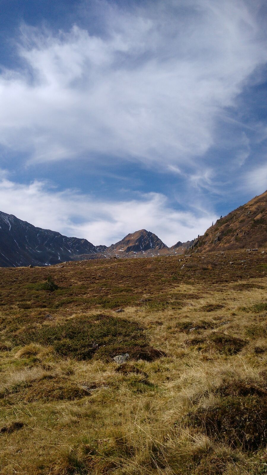
A challenging hiking trail with magnificent views of the surrounding mountains of the Ennstal Alps.
- Nehézség
-
nehéz
- Értékelés
-
- Útvonal
-
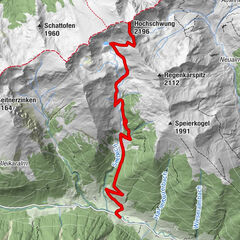
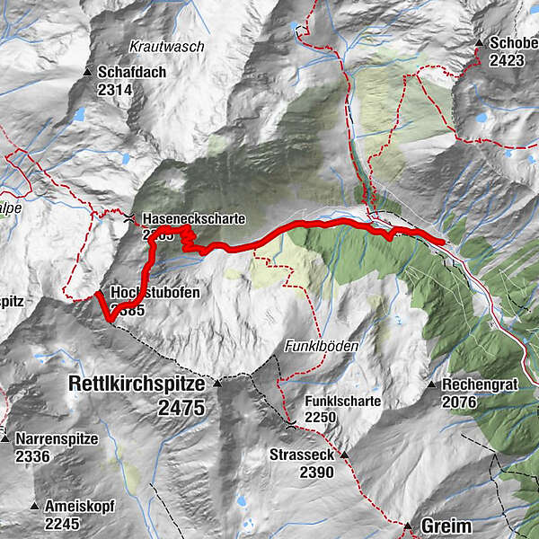
Rocklscharte4,9 kmHochstubofen (2.385 m)5,3 km
- Legjobb szezon
-
janfebrmárcáprmájjúnjúlaugszeptoktnovdec
- Legmagasabb pont
- 2.361 m
- Úti cél
-
Hochstubofen
- Magassági profil
-

- Szerző
-
A túra Hochstubofen a outdooractive.com feltéve, hogy.
GPS Downloads


Általános információ
Frissítő megálló
Bennfentes tipp
Ígéretes
További túrák a régiókban
-
TourismusRegion Murau
1743
-
Naturpark Sölktäler
927
-
Schöder
200