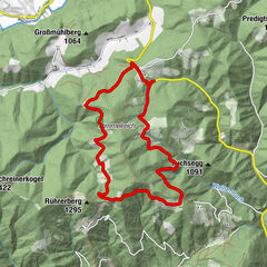
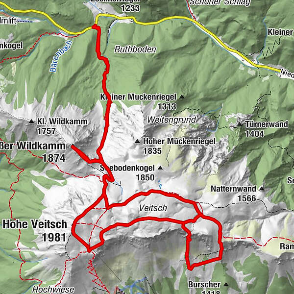
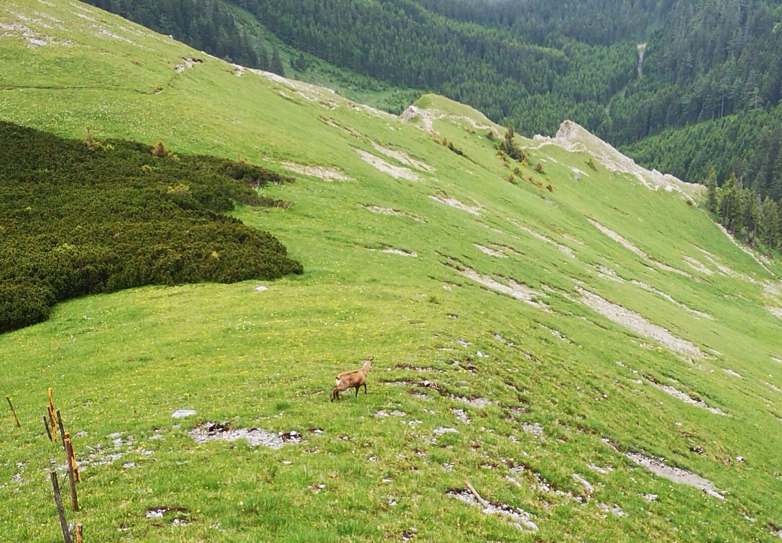
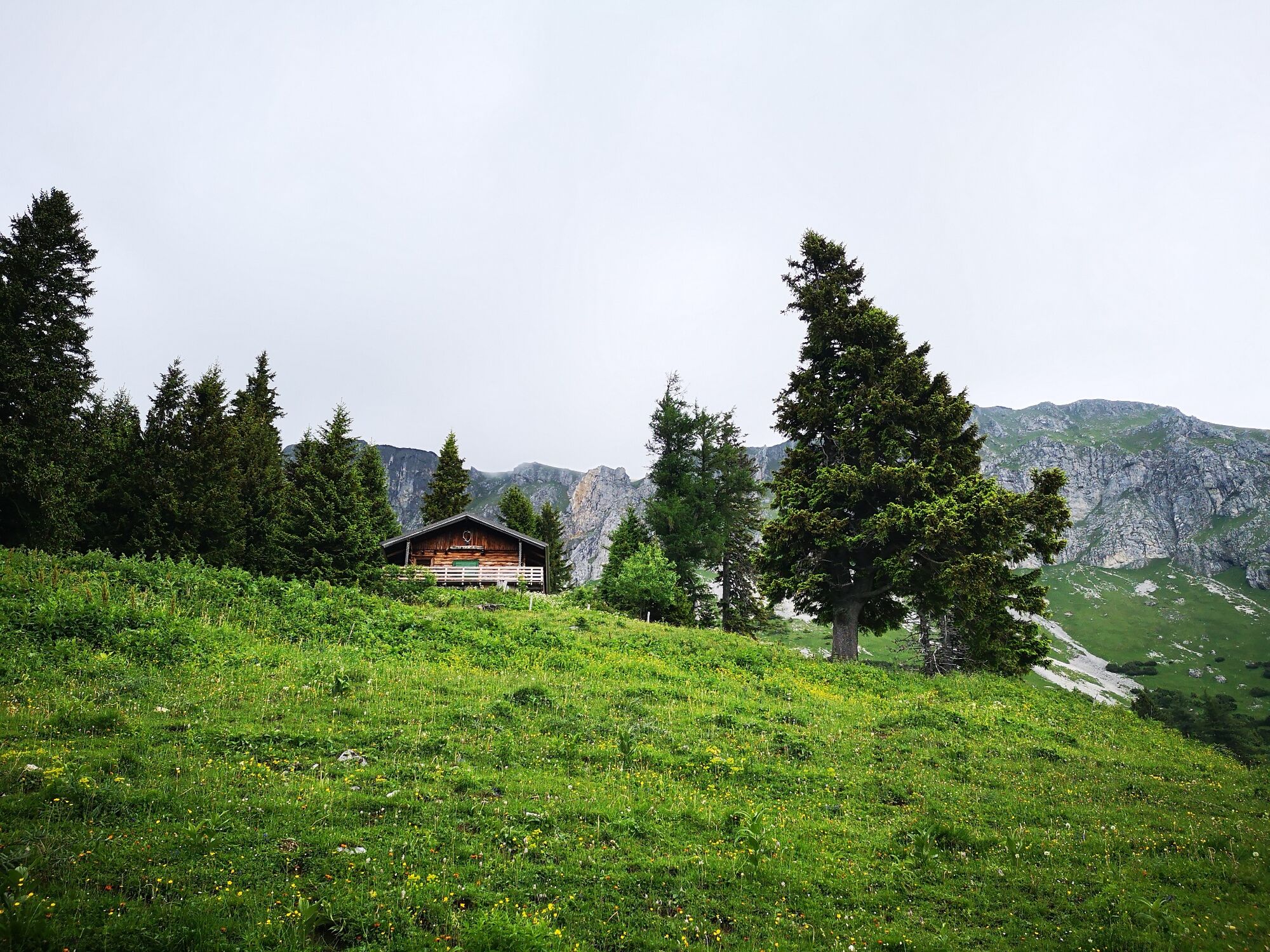
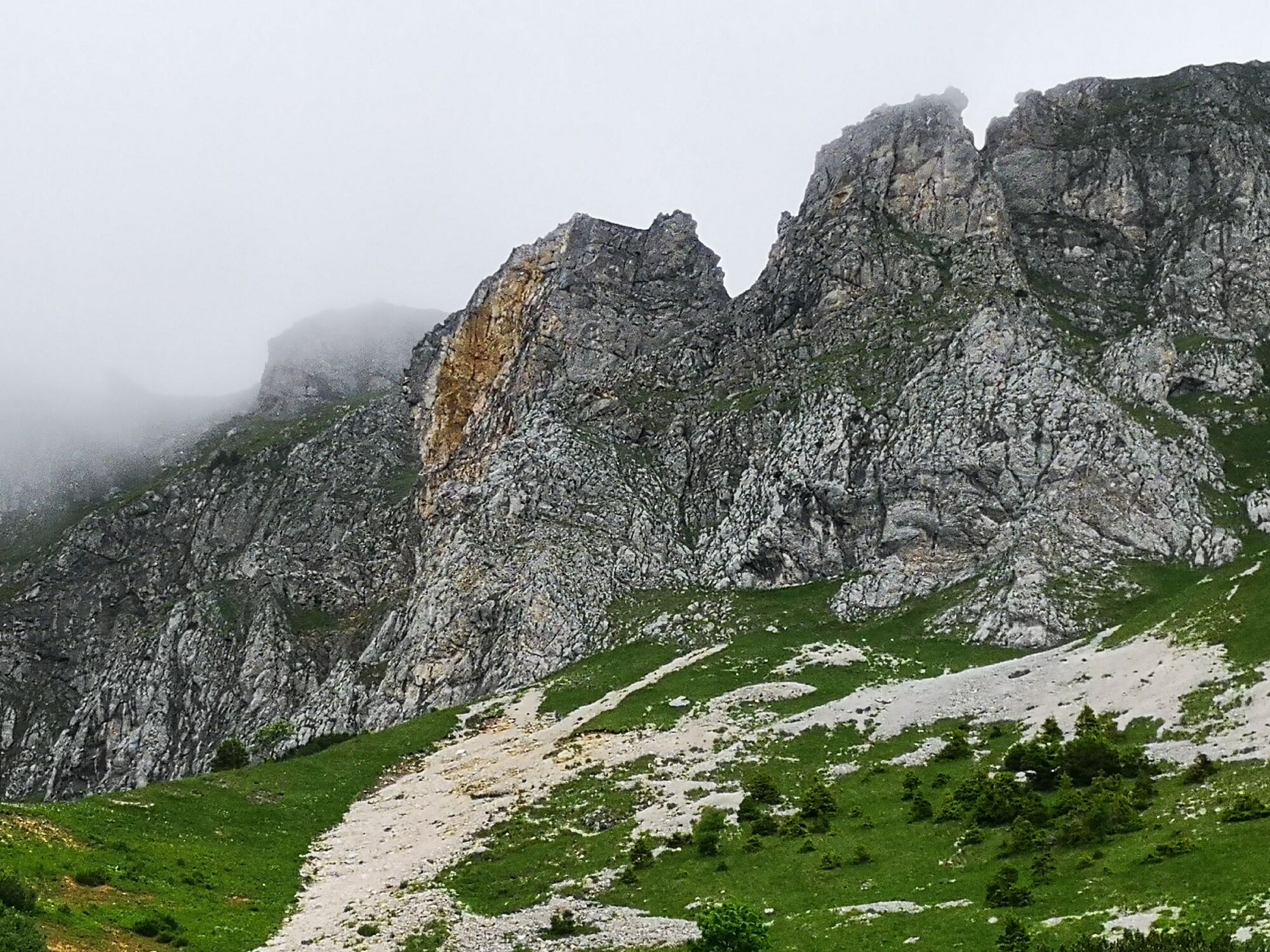
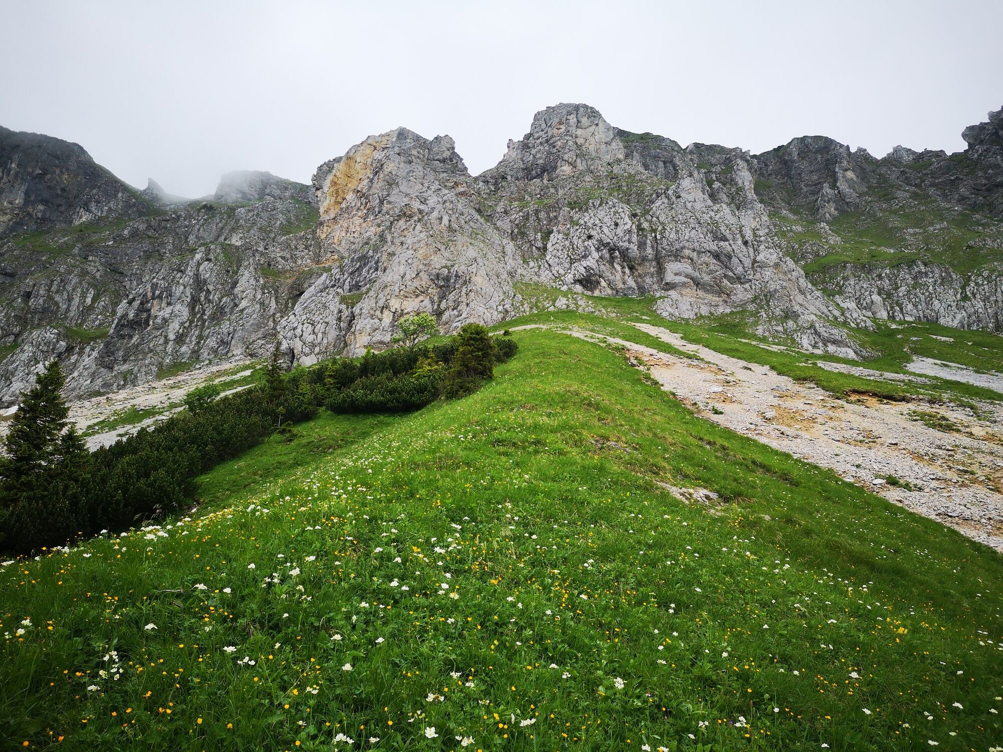
Überschreitung der Hohen Veitsch im Naturpark Mürzer Oberland

Kirándulás

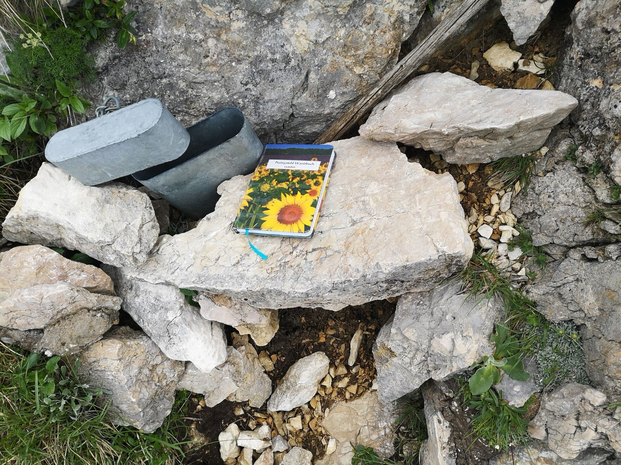
© TV Hochsteiermark - Andreas Steininger

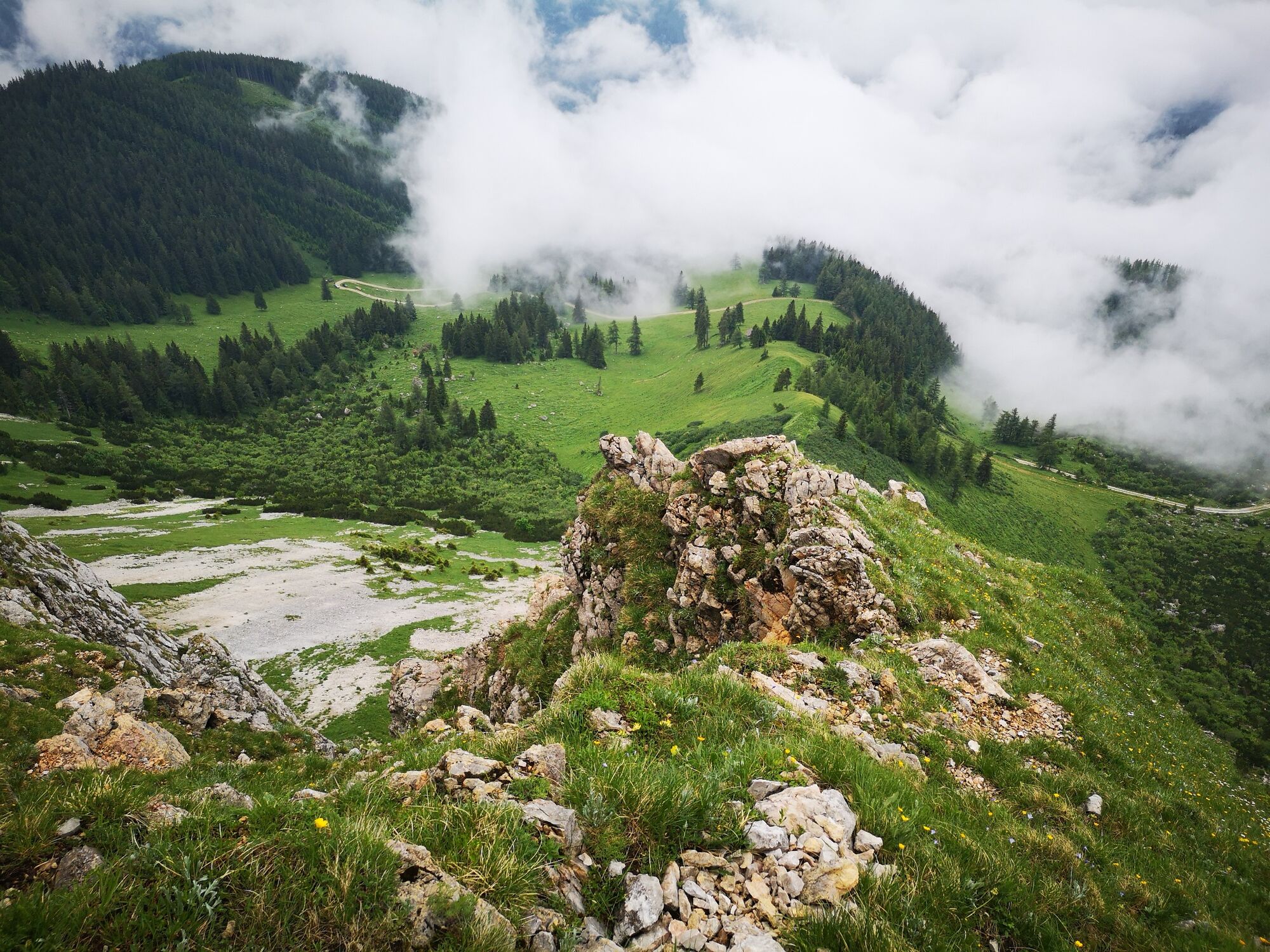
© TV Hochsteiermark - Andreas Steininger

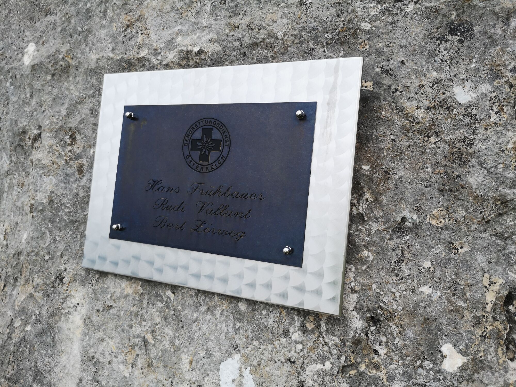
© TV Hochsteiermark - Andreas Steininger

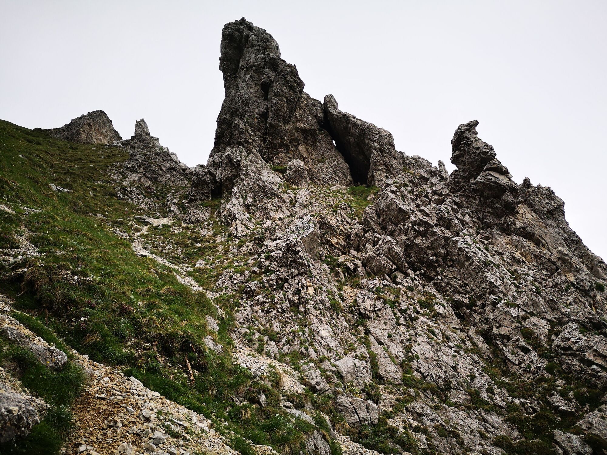
© TV Hochsteiermark - Andreas Steininger

© TV Hochsteiermark - Andreas Steininger

© TV Hochsteiermark - Ute Gurdet

© TV Hochsteiermark - Andreas Steininger

© TV Hochsteiermark - Andreas Steininger

© TV Hochsteiermark - Andreas Steininger

© TV Hochsteiermark - Andreas Steininger

- Rövid leírás
-
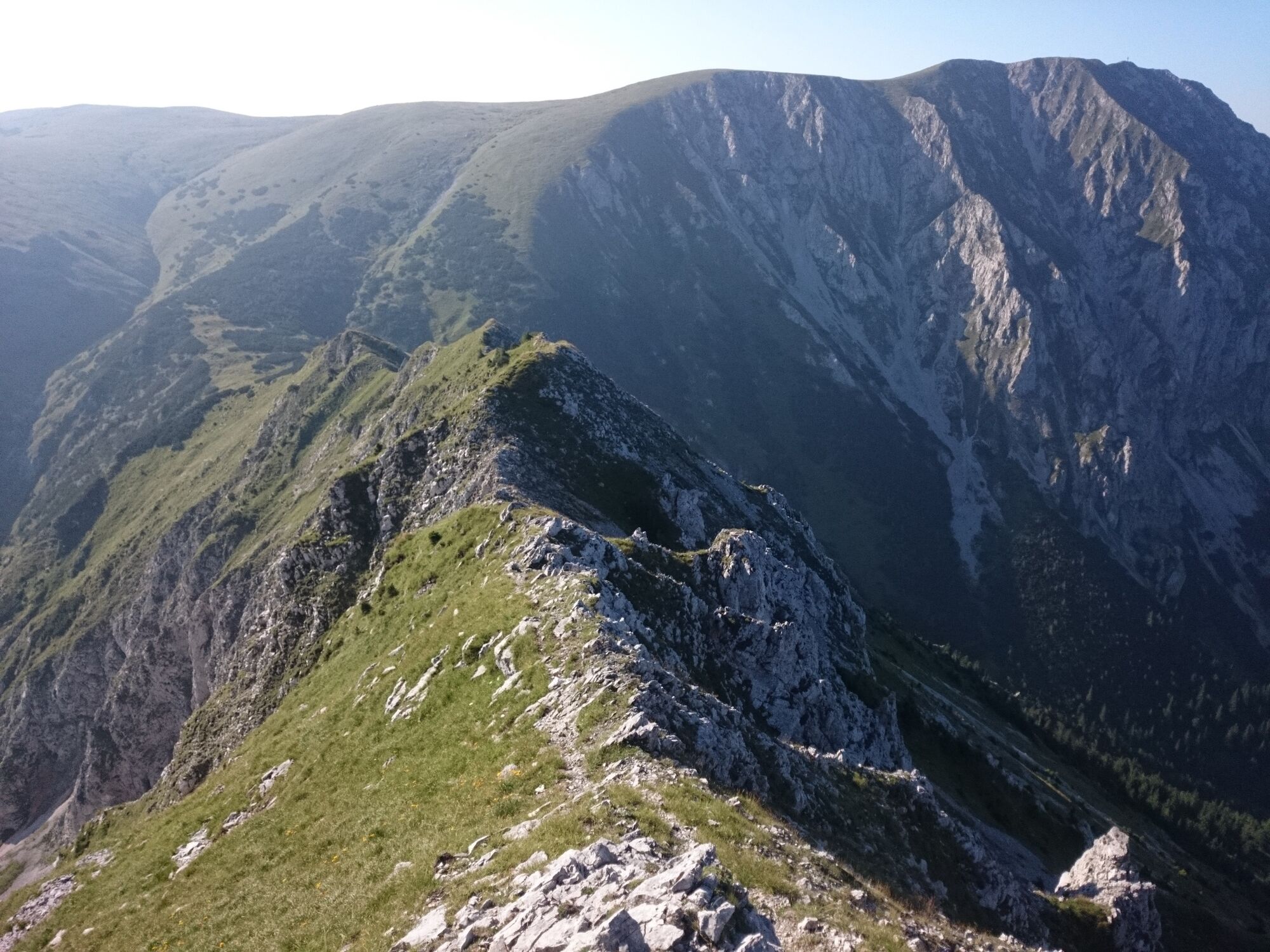
Whoever tackles this tour in the Mürzer Oberland Nature Park in Hochsteiermark, should have an excellent physical condition (about 18 kilometers and almost 2000 Hm) and an absolute surefootedness as well as master the safe movement in pathless, rocky terrain. But then there is a sensational Veitschrunde with wonderful landscape impressions!
- Nehézség
-
nehéz
- Értékelés
-
- Útvonal
-
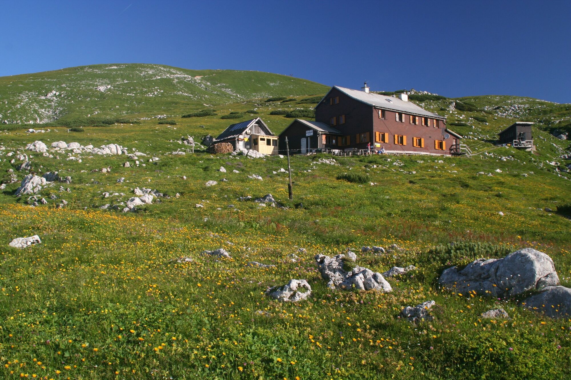
Großer Wildkamm (1.874 m)3,4 kmHohe Veitsch (1.981 m)5,8 kmGraf Meran Haus6,6 kmVorkogel (1.896 m)7,9 km
- Legjobb szezon
-
janfebrmárcáprmájjúnjúlaugszeptoktnovdec
- Legmagasabb pont
- 1.974 m
- Úti cél
-
Niederalpl Ort
- Magassági profil
-


-

-
SzerzőA túra Überschreitung der Hohen Veitsch im Naturpark Mürzer Oberland a outdooractive.com feltéve, hogy.
GPS Downloads


Általános információ
Frissítő megálló
Bennfentes tipp
Ígéretes
További túrák a régiókban
-
Hochsteiermark
4083
-
Naturpark Mürzer Oberland
1937
-
Mürzsteg
360