

© Erlebnisregion Murtal - 50plus Campingpark Fisching

© Erlebnisregion Murtal - 50plus Campingpark Fisching

© Erlebnisregion Murtal - 50plus Campingpark Fisching

© Erlebnisregion Murtal - 50plus Campingpark Fisching

© Erlebnisregion Murtal - 50plus Campingpark Fisching

© Erlebnisregion Murtal - 50plus Campingpark Fisching

© Erlebnisregion Murtal - 50plus Campingpark Fisching

© Erlebnisregion Murtal - 50plus Campingpark Fisching

© Erlebnisregion Murtal - 50plus Campingpark Fisching

© Erlebnisregion Murtal - 50plus Campingpark Fisching

- Rövid leírás
- Nehézség
-
könnyű
- Értékelés
-
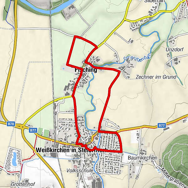
- Útvonal
-
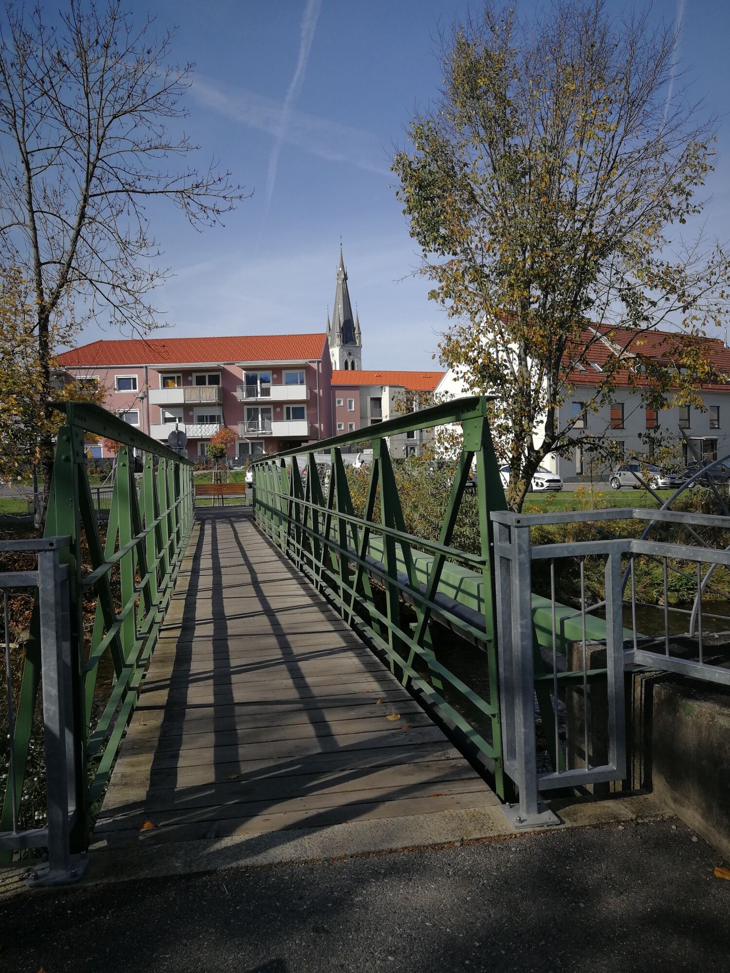
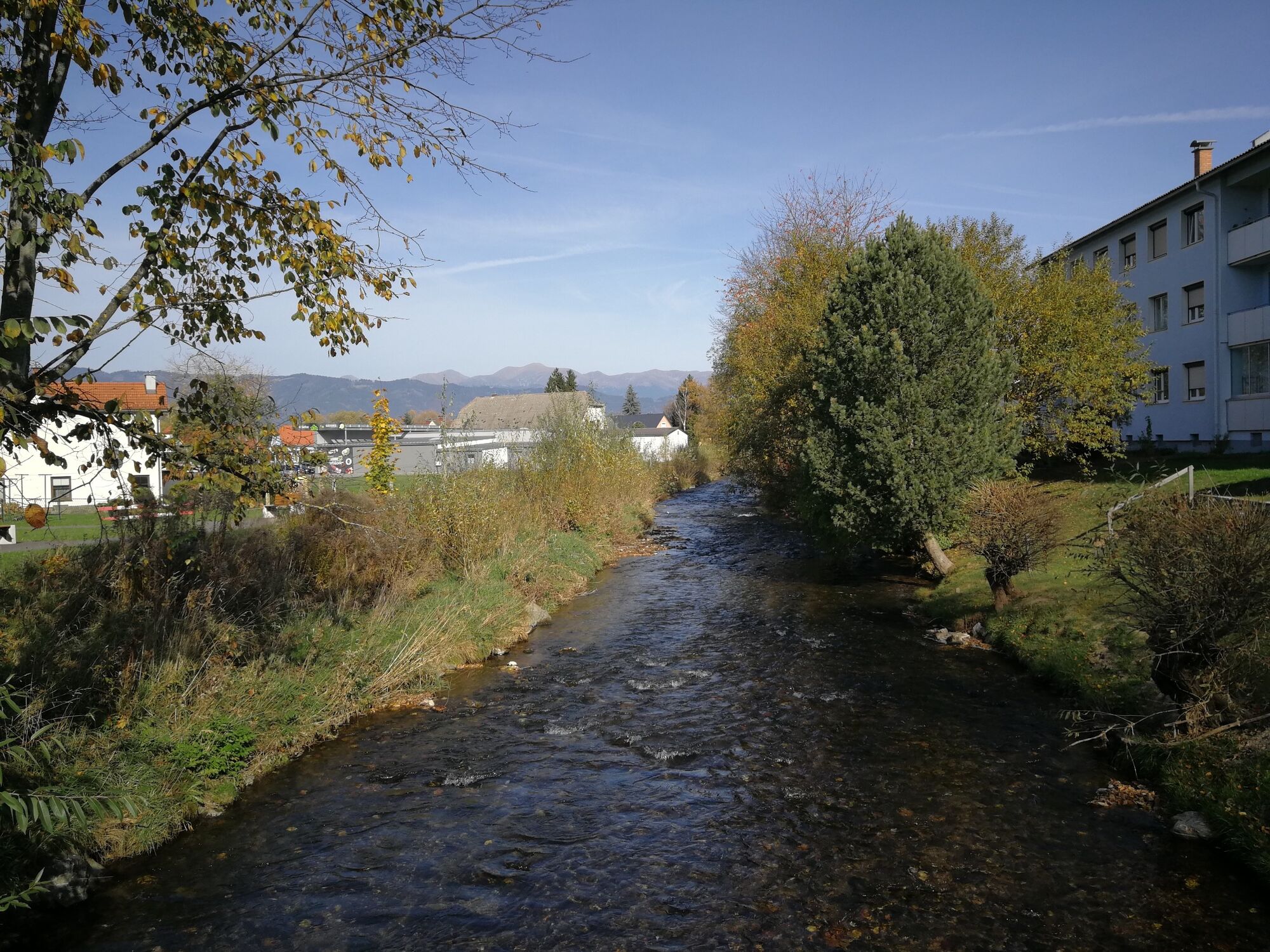
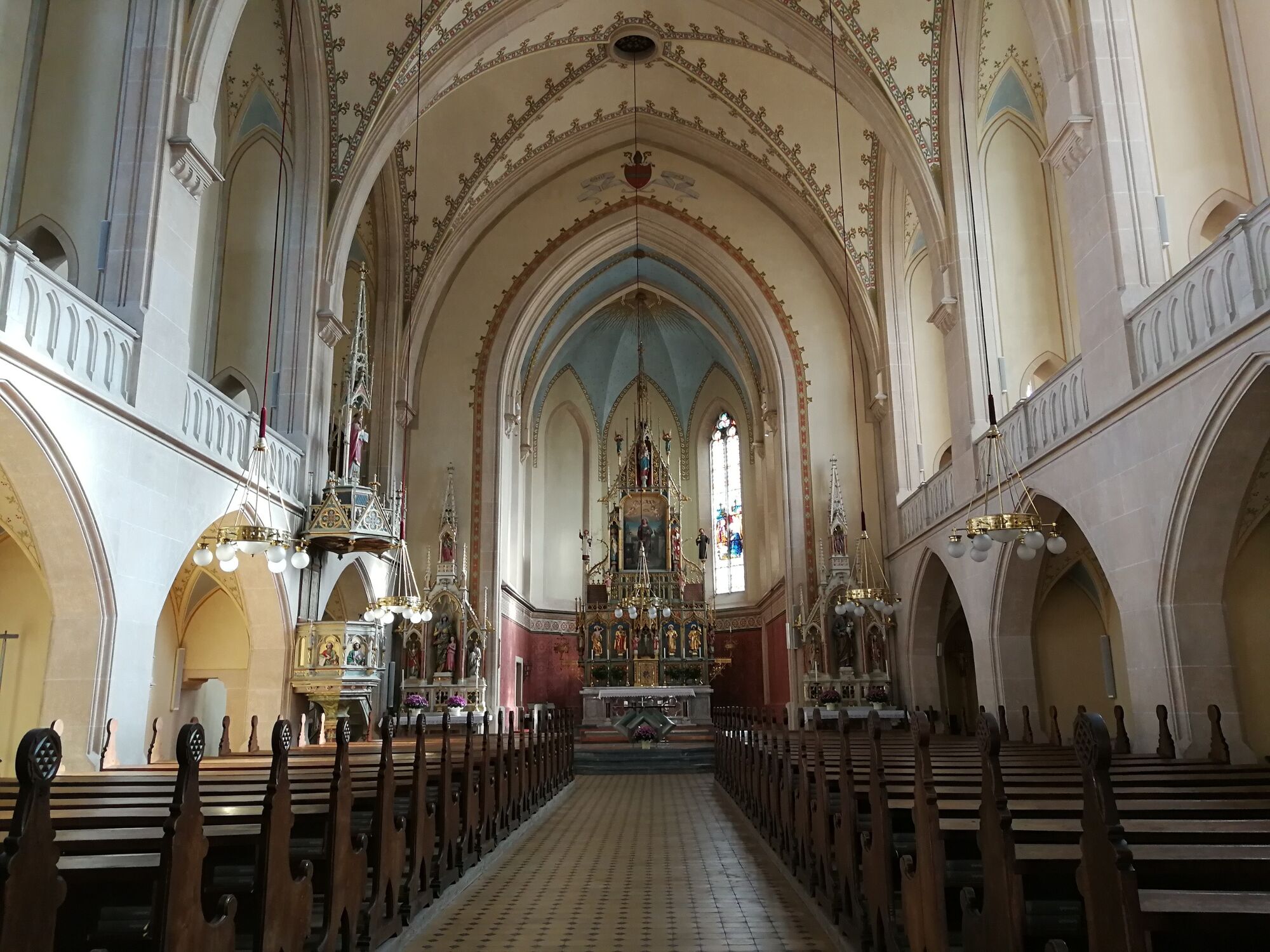
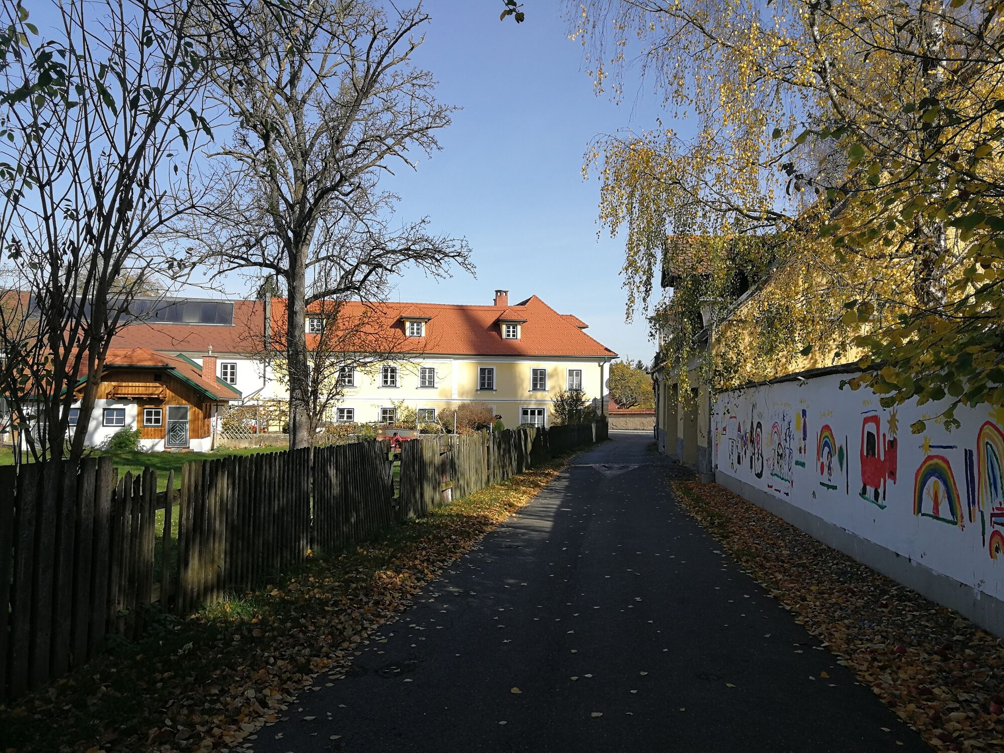
Landgasthaus Liebmann0,5 kmWeißkirchen in Steiermark2,8 kmPfarrkirche hl. Veit3,1 kmFisching4,3 km
- Legjobb szezon
-
janfebrmárcáprmájjúnjúlaugszeptoktnovdec
- Legmagasabb pont
- 688 m
- Úti cél
-
Fisching parking lot
- Magassági profil
-


-

-
SzerzőA túra discover Weißkirchen via your tongue a outdooractive.com feltéve, hogy.
GPS Downloads


Általános információ
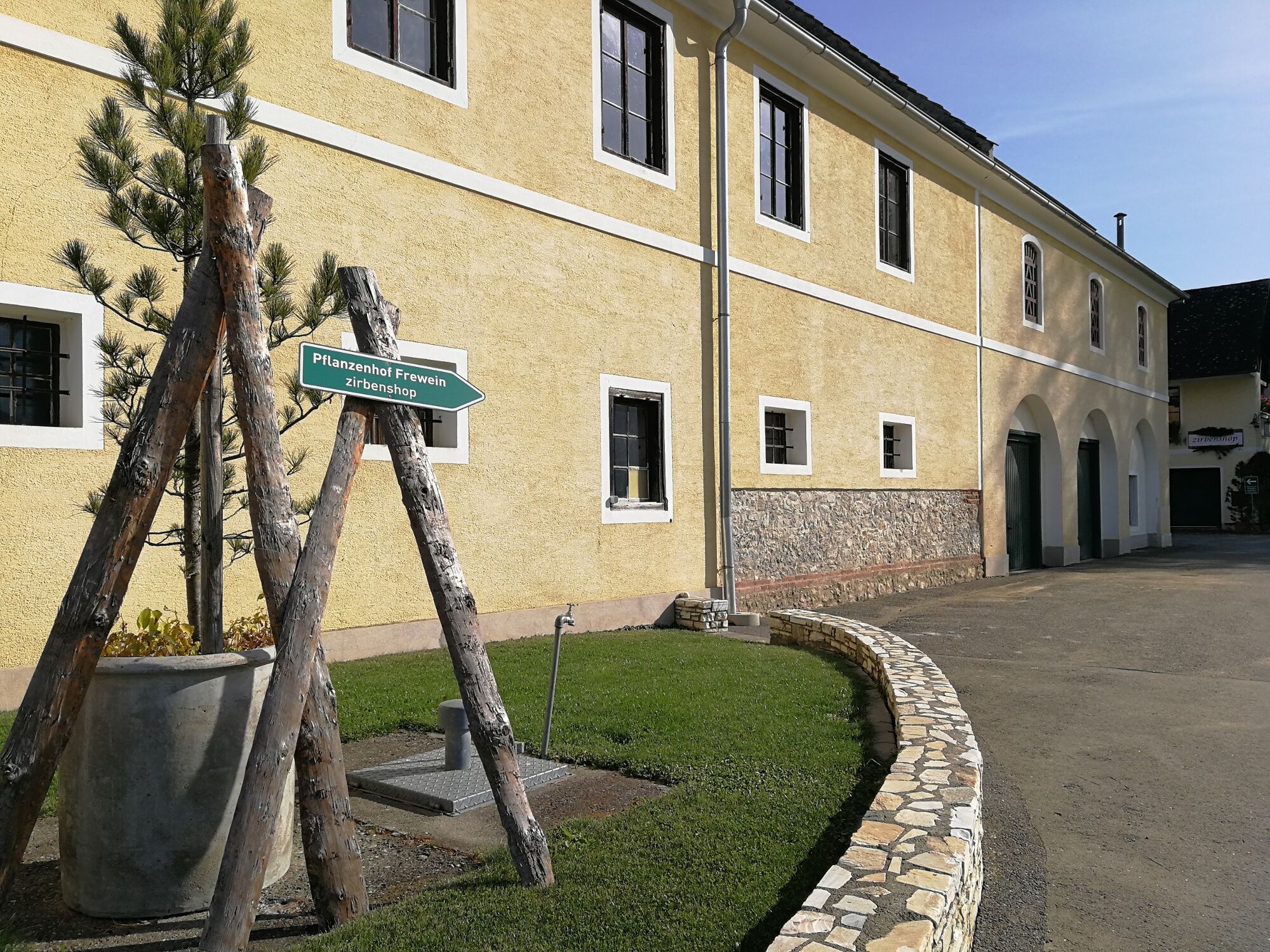
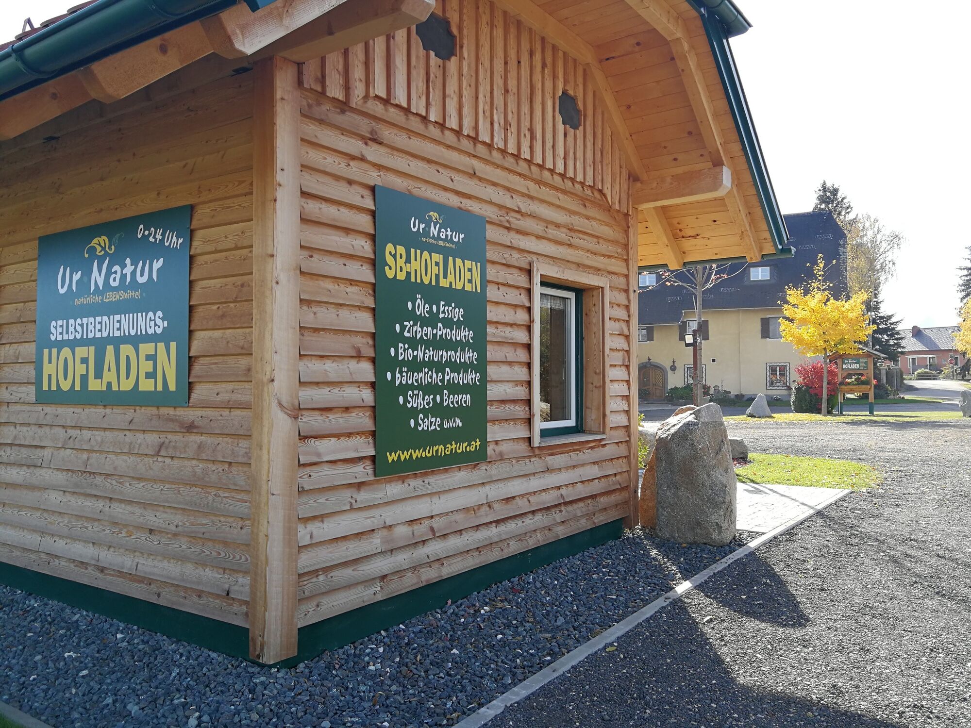
Frissítő megálló
Ígéretes
További túrák a régiókban


