© Tourismusverband Region Murau - Alexander Brunner

© Tourismusverband Region Murau - CM Visuals

© Tourismusverband Region Murau - Tom Lamm

- Rövid leírás
-
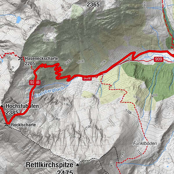
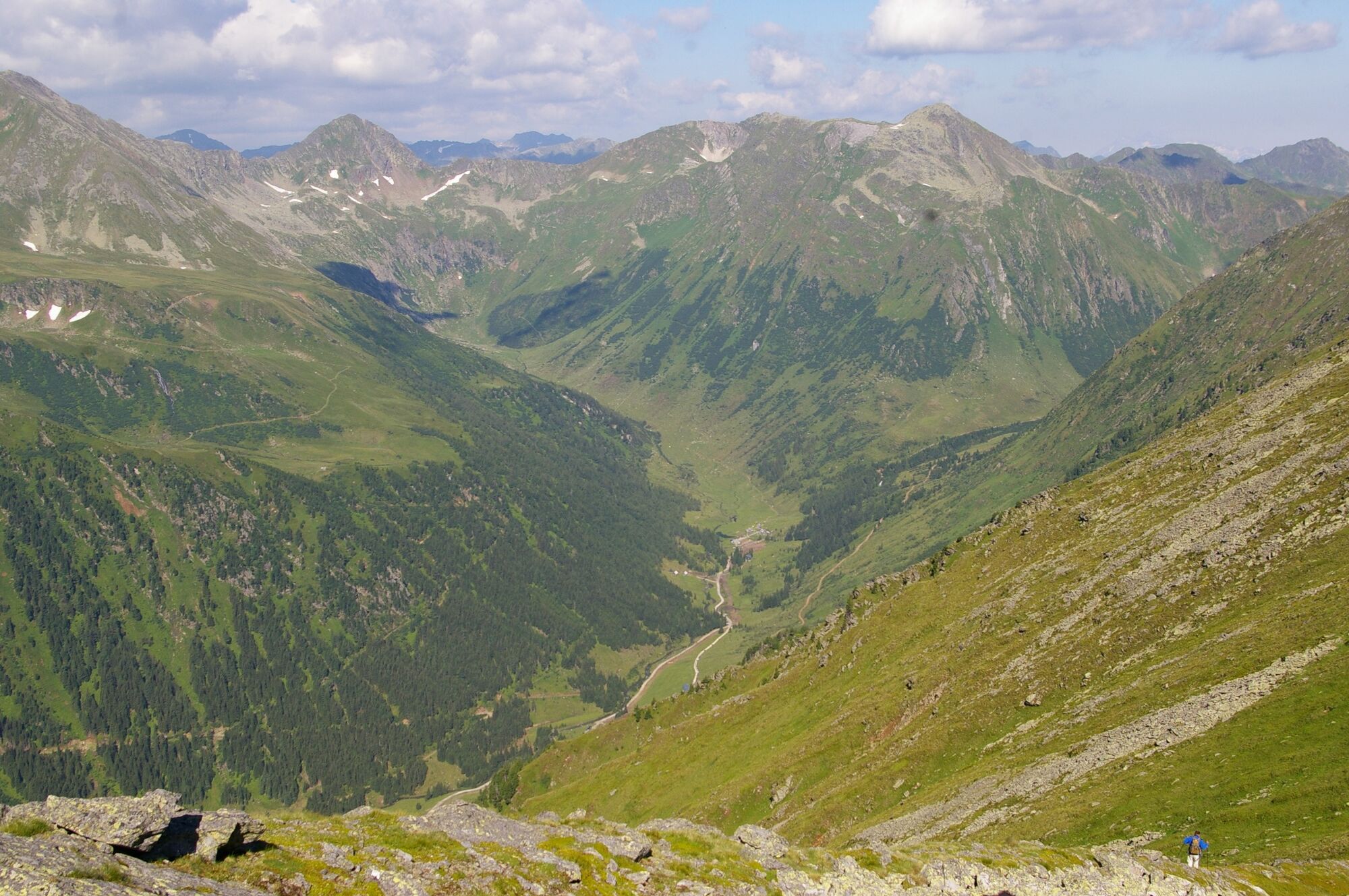
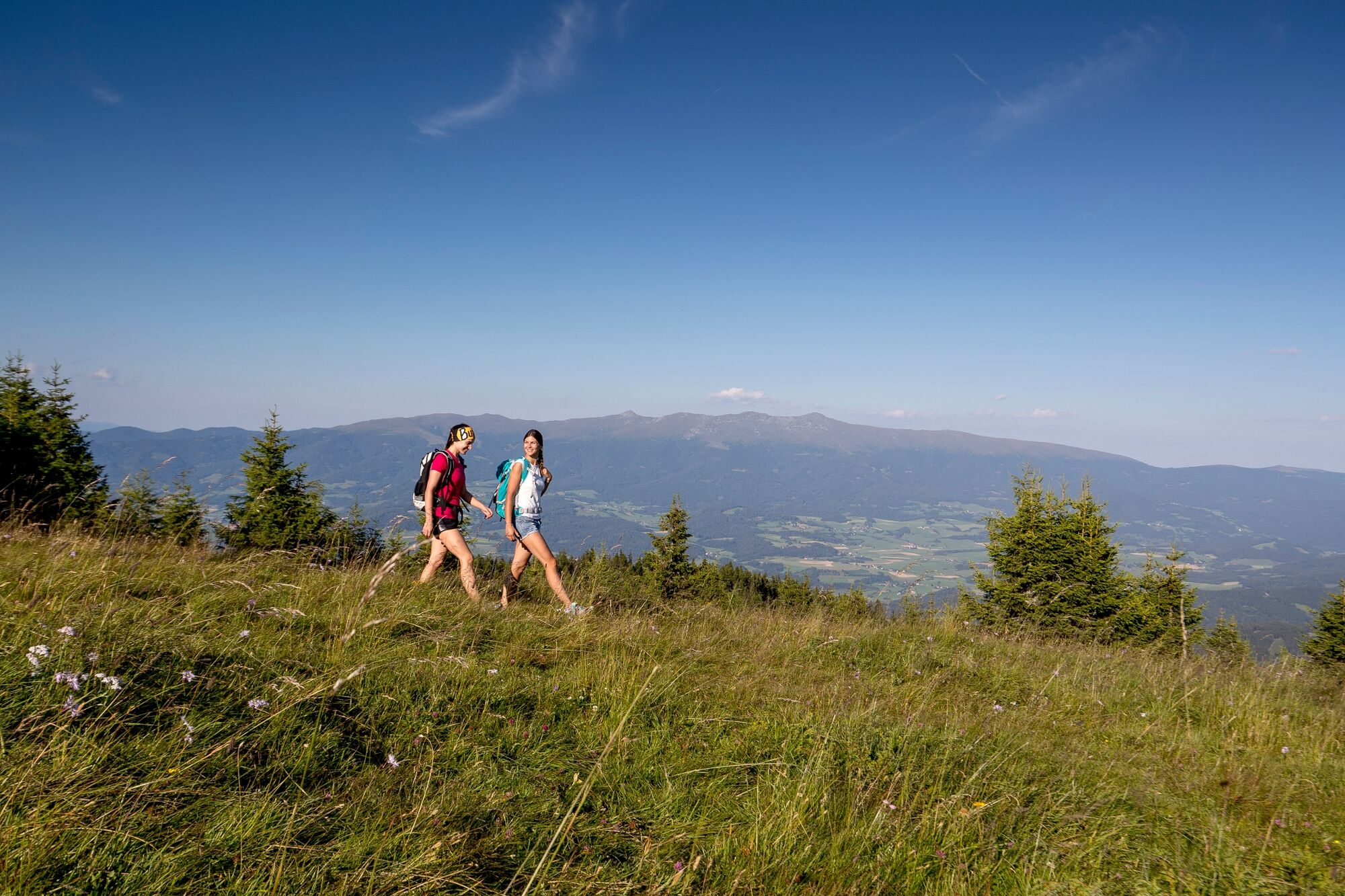
The Hochstubofen impresses from afar and is at the same time an eye-catcher as well as the end of the valley of the Eselsberg.
- Nehézség
-
nehéz
- Értékelés
-
- Útvonal
-
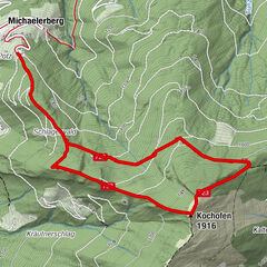
Hölzerhütte0,0 kmEselsbachfall0,1 kmRocklscharte4,3 kmHochstubofen (2.385 m)4,6 km
- Legjobb szezon
-
janfebrmárcáprmájjúnjúlaugszeptoktnovdec
- Legmagasabb pont
- 2.340 m
- Úti cél
-
Hochstubofen
- Magassági profil
-

- Szerző
-
A túra Hochstubofen a outdooractive.com feltéve, hogy.
GPS Downloads


További túrák a régiókban