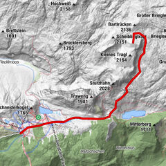
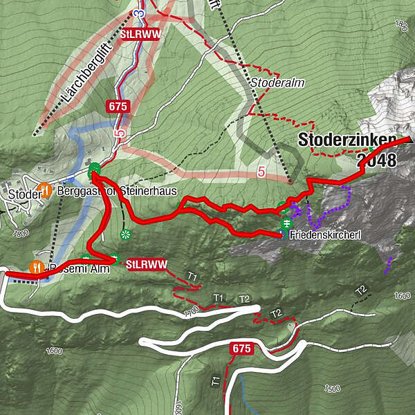
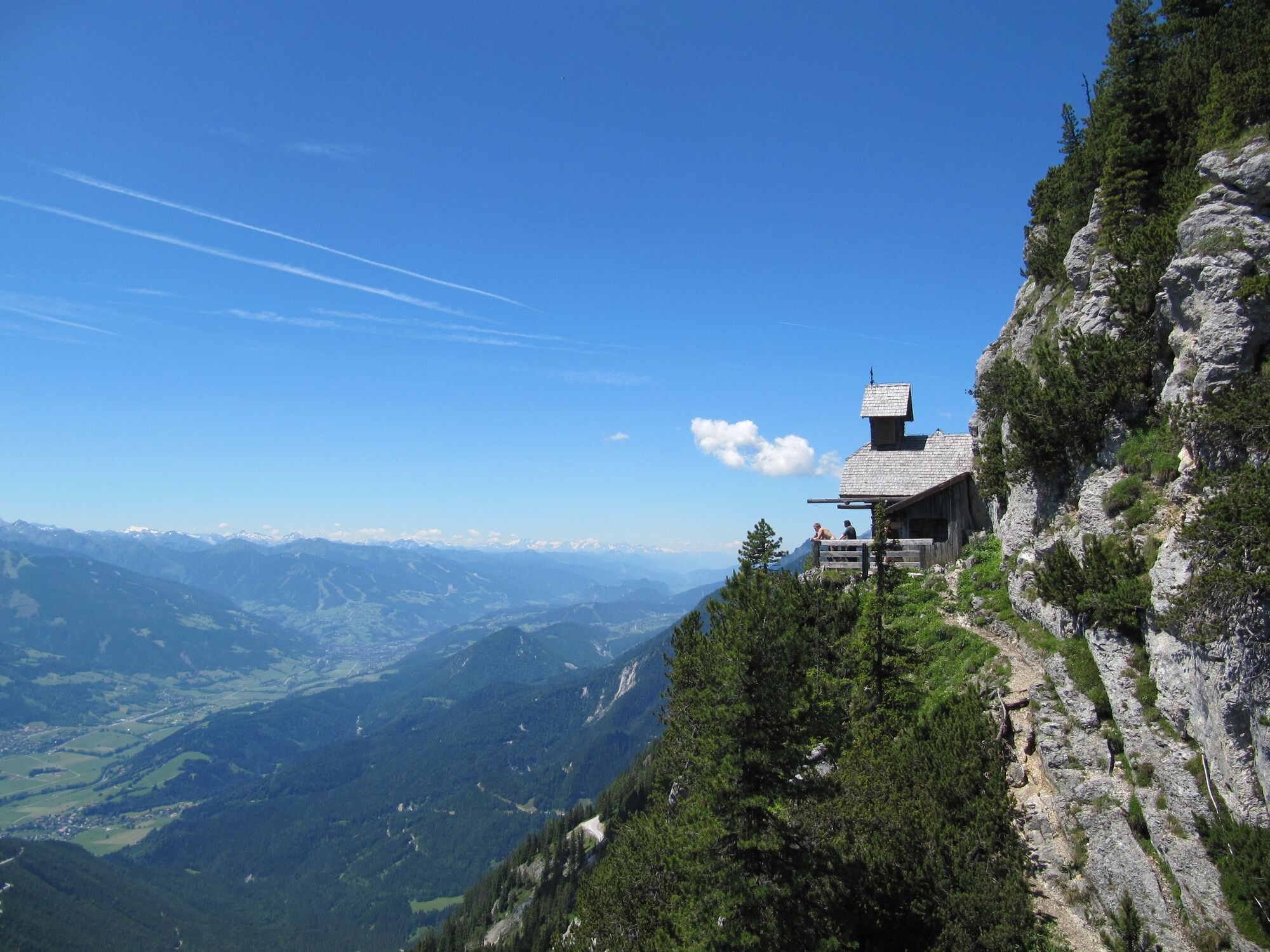
To the Friedenskircherl chapel and to Stoderzinken

Kirándulás

© Erlebnisregion Schladming-Dachstein - Schladming Dachstein

© Erlebnisregion Schladming-Dachstein - Schladming Dachstein

© Erlebnisregion Schladming-Dachstein - Schladming Dachstein
- Rövid leírás
-
Hike to the Friedenskirchlein in the footsteps of Peter Rosegger and to the summit of the Gröbminger and Aicher local mountains.
- Nehézség
-
közepes
- Értékelés
-
- Útvonal
-
Rosemi Alm0,1 kmFriedenskircherl1,4 kmStoderzinken2,6 kmRosemi Alm4,5 km
- Legjobb szezon
-
janfebrmárcáprmájjúnjúlaugszeptoktnovdec
- Legmagasabb pont
- 2.041 m
- Úti cél
-
Stoderzinken
- Magassági profil
-


-

-
SzerzőA túra To the Friedenskircherl chapel and to Stoderzinken a outdooractive.com feltéve, hogy.
GPS Downloads


Általános információ
Frissítő megálló
Flora
Fauna
Ígéretes
További túrák a régiókban
-
Schladming - Dachstein
3001
-
Haus - Aich
1364
-
Aich
275